Tmogvi: A Medieval Fortress and Town in Georgia
Site at a Glance
- Country
- Georgia
- Primary era
- Medieval
- Eras represented
- Medieval
- Civilizations
- Georgian
- Site type
- Military
- Remains
- Castle
On this page17 sections
History
Tmogvi is a medieval fortress and town in Aspindza Municipality, Georgia, built in the ninth century as a defensive stronghold. It controlled routes between the Javakheti plateau and the Mtkvari gorge, including a passage used by travelers entering Georgia from the Near East. The site became more important after nearby Tsunda was ruined around AD 900.
From stronghold to royal fortress
During an Arab campaign in 914, forces advanced on Tmogvi but failed to capture it. In the first half of the tenth century, Tmogvi and much of Javakheti were probably ruled by descendants of Adarnase, son of Ashot, a Georgian ruler with the Byzantine honorific kuropalates. By the late tenth century, the fortress had passed to the kings of Abkhazia, rulers of a medieval kingdom in western Georgia, and become a royal stronghold.
Around 1011–1012, Bagrat III imprisoned Sumbat III and Gurgen at Tmogvi during his campaign to unite Georgia. The brothers ruled the duchy of Klarjeti.
Noble lords and earthquake damage
The first known lord of Tmogvi was Pharsman, a regional noble who held the rank of duke of dukes and also controlled Akhalkalaki. In 1044–1045, he backed Liparit, duke of Kldekari, in a rebellion against Bagrat IV. They were defeated, but the king and the rebel lords later reconciled. During the Seljuk invasion of 1065, launched by a medieval Turkic Muslim dynasty, Pharsman fought for the king and his homeland at the Battle of Akhalkalaki.
King George II granted Tmogvi to the noble Niania Kuabulisdze in 1073. An earthquake in 1089 devastated the fortress and killed members of its ruling household. After 1177, George III gave Tmogvi to Afridon, whom he had appointed to the senior royal office of chief steward. When Tamar became queen around 1186–1187, Afridon and other recently elevated nobles were overthrown. Tmogvi then passed to the commander-in-chief Gamrekeli-Toreli, under whose rule its importance grew. After his death in 1191, it went to a branch of the Mkhargrdzeli family.
From 1204, the nearby Vanis Kvabebi monastery served as the burial place of the Tmogveli family. Lords of that family remained associated with Tmogvi into the fourteenth century, though they later left it. The medieval Georgian writer Sargis Tmogveli came from the town.
Earthquakes struck in 1283 and 1319. After the first, the town was rebuilt and flourished again. Following the second, Murvan Katkhaidze oversaw restoration, with Theodor as architect.
Changing control and decline
Over the centuries, Tmogvi passed among Georgian noble families, including the Toreli, Tmogveli, Shalikashvili, and Jaqeli. In the sixteenth century it was held by Atabeg Ivane and later by other local families. During the conflict between the Shalikashvili and the atabeg from 1576 to 1578, Tmogvi served as a Shalikashvili stronghold. Manuchar, a regional ruler known as an atabeg, raided the town and seized the fortress. In 1578, he handed it to the Ottoman commander Lala Pasha. Under Ottoman rule, Tmogvi and its surrounding territory belonged to the Akhalkalaki district.
By the eighteenth century, the population had fallen and Tmogvi’s former town status had diminished to that of a village. It later lost importance and was abandoned. The 1829 Treaty of Adrianople, which ended the Russo-Ottoman War of 1828–1829, transferred Tmogvi and the surrounding region from Ottoman to Russian control. Georgia designated the site a cultural monument of national significance on November 7, 2006.
Tradition and cultural memory
An Armenian oral tradition tells of an Armenian duke who resisted invaders. In the tale, a Persian shah won over the duke’s wife; she poisoned her husband, made his army drunk, and opened the gates. The Persians then killed the defenders and people in nearby villages. An uncertain explanation links the name Tmogvi to a word meaning “pagan priest” or “magician.”
In 1902, Armenian poet Hovhannes Tumanyan wrote The Capture of Tmkaberd. Sophia Parnok later created a libretto from the poem, which Soviet-Armenian composer Alexander Spendiaryan used for his opera Almast in 1928.
Remains
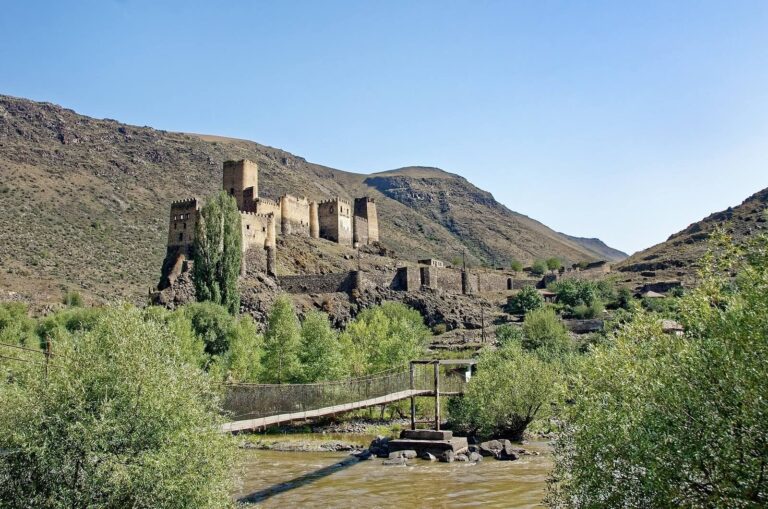
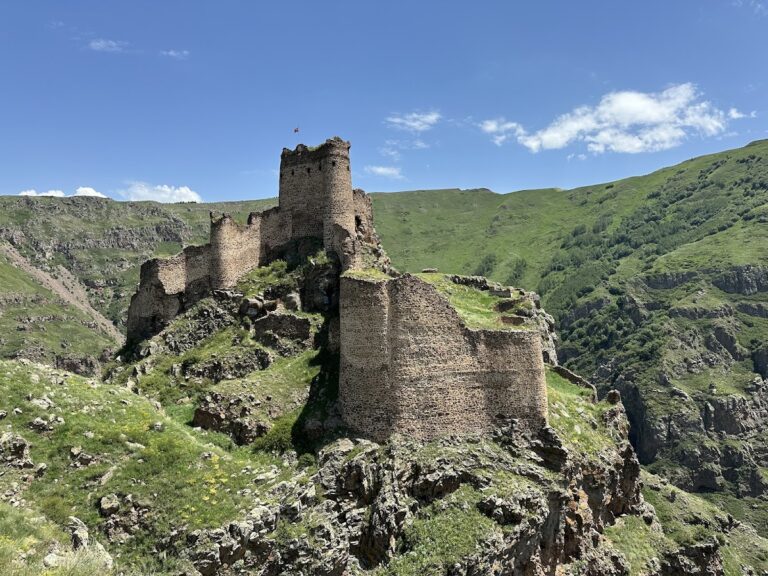
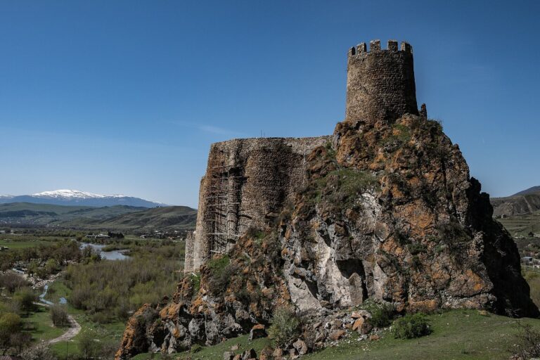
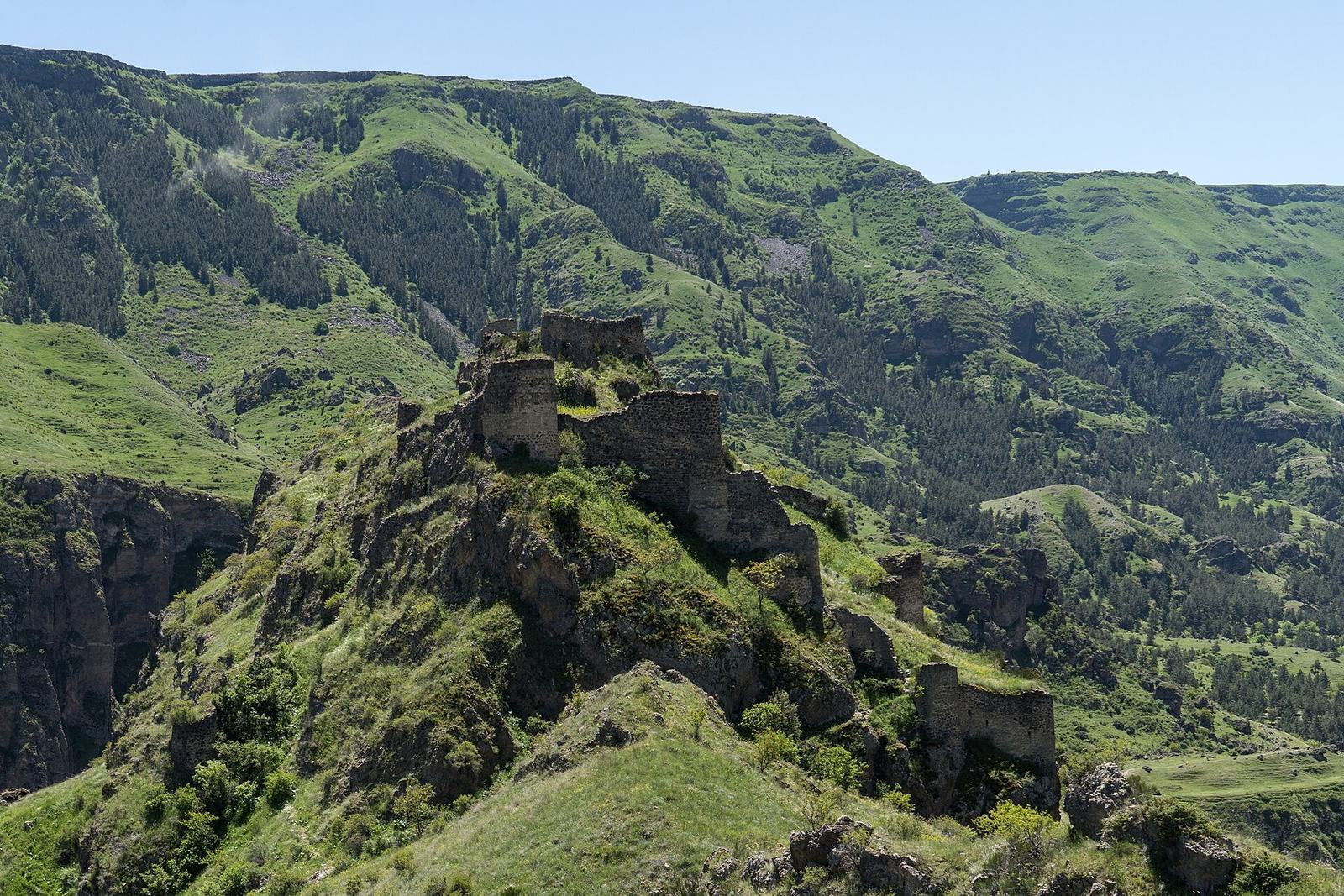
The ruined fortress and town occupy a high, rocky mountain on the left bank of the Mtkvari. The river protects two sides of the site, while deep gorges defend the others; narrow approaches were guarded by walls. The fortress extends over three hills joined within an enclosure about 150 metres long and 3 metres wide. Towers stand on each hill, and the walls follow the varying levels of the terrain. The remains combine dressed tuff, a type of volcanic stone, with later rubble-stone construction.
Fortress defenses and water access
Walls and towers
On the western side, the better-preserved defenses descend the rocky slope in three tiers of walls and towers. The fortress’s earliest masonry consists of regular courses of dressed tuff blocks. Roughly worked rubble stone belongs to later rebuilding. Basalt and Georgian brick are also among the materials used at the site. An inscription on a fortress wall dates building work there to 1350.
Tunnel and reservoirs
A rock-cut tunnel connects the southeastern wall and a cave with the upper part of the fortress and the Mtkvari below, providing access to the river. Two water reservoirs lie within the walls.
Churches
Building within the fortress
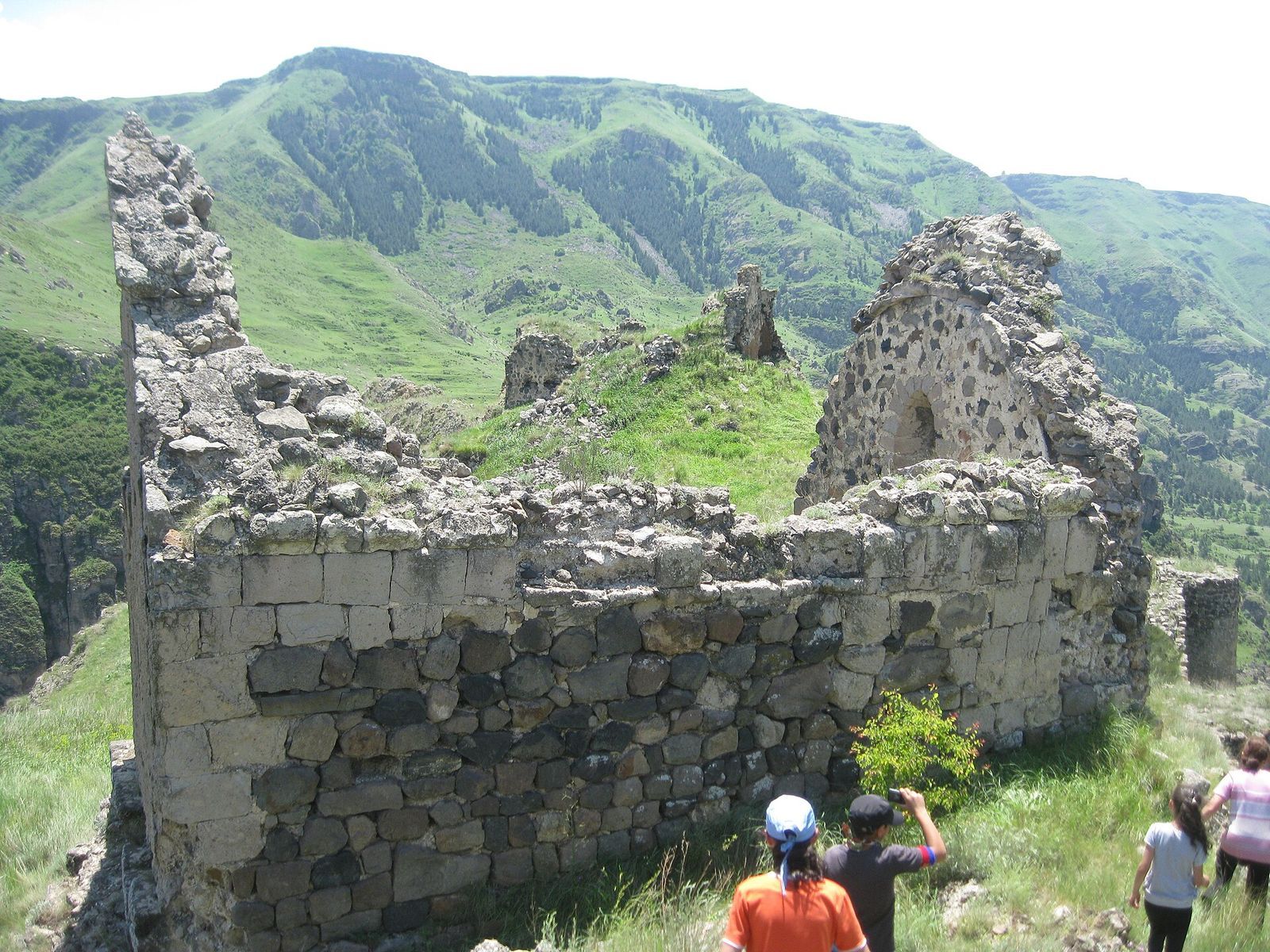
A rectangular building within the fortress stands on a basalt base. It is built of dressed tuff blocks and has a roof with two slopes. The structure is thought to have been a church.
Church of Saint Ephrem
Outside the western defenses, in a gorge, are the ruins of the rock-cut Church of Saint Ephrem. Its iconostasis, a screen separating the sanctuary from the main worship space, was also cut into the rock.
Domed church
Fragments of thirteenth-century wall paintings survive in the ruins of a separate domed church.
Town, palaces, and routes
Left-bank palace
Settlement and palace remains extend along both banks of the river. The palace on the left bank belongs to the earliest construction phase at the site.
Right-bank remains and bath
The right-bank palace remains are later, dating to the mid-fourteenth century. Three other buildings and a bath can also be distinguished in this area. Built of Georgian brick and stone, the bath had three rooms. Its vaults have collapsed, while the corner supports that carried them remain recognizable.
Routes and bridges
A path from Tsunda ran east of the palace and continued toward Vanis Kvabebi and Vardzia. A historic transport route began near Margatastan, passed the palace, and descended into the valley as a footpath before reaching a bridge. Bridge piers survive in the Mtkvari: one bridge linked the palaces, while another was intended for transport.