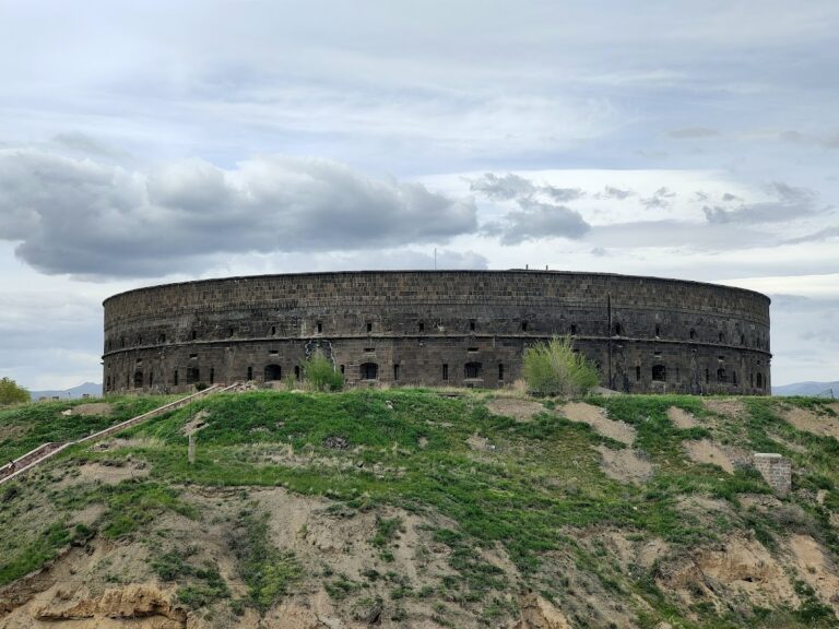
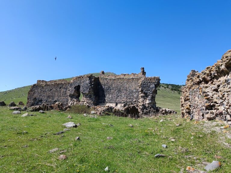
Abuli Fortress: A Bronze Age Hillfort in Georgia
Site at a Glance
- Country
- Georgia
- Primary era
- Bronze Age
- Eras represented
- Bronze Age
- Civilizations
- Unclassified
- Site type
- Military
- Remains
- Fort
On this page5 sections
History
Abuli Fortress is a hillfort on the southern slope of Mount Patara Abuli in Georgia. It is generally attributed to the Middle or Late Bronze Age, a prehistoric period when bronze tools and objects were in use, though its exact date and cultural affiliation remain uncertain because excavations have not been conducted. The fortress is abandoned, but when and under what circumstances it was left are unknown.
Across the South Caucasus, the spread of cyclopean fortresses, built with very large stones, is interpreted as evidence of growing social divisions and regional elites. Settlement patterns and material remains suggest that those who controlled these hillforts also held power over farmland and local resources. Such strongholds may have served both economic and defensive purposes for the surrounding lands. Abuli is considered likely to have been one of the region’s earliest major centers. It is also known as Korogli, a name derived from Koroğlu, a legendary hero in Turkic oral tradition.
In September 2019, Georgian cultural-heritage authorities began a multiyear effort to study and conserve the country’s megalithic complexes, including Abuli. The fortress is included among Georgia’s immovable cultural monuments of national significance.
Remains
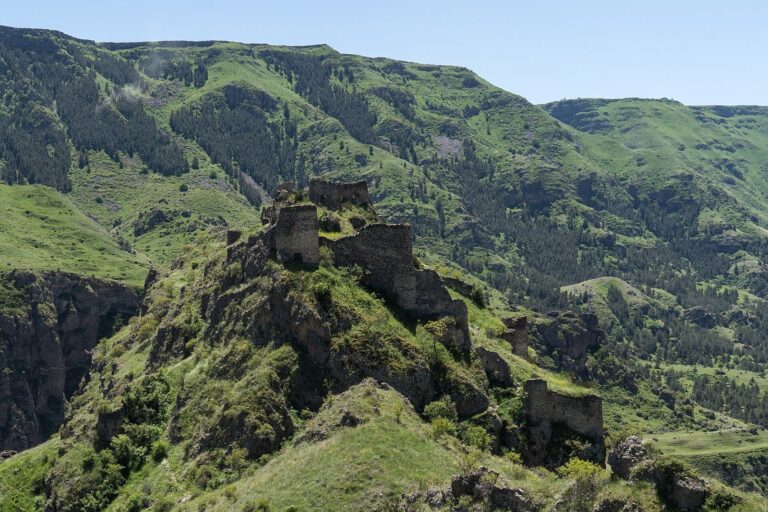
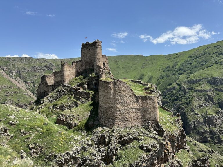
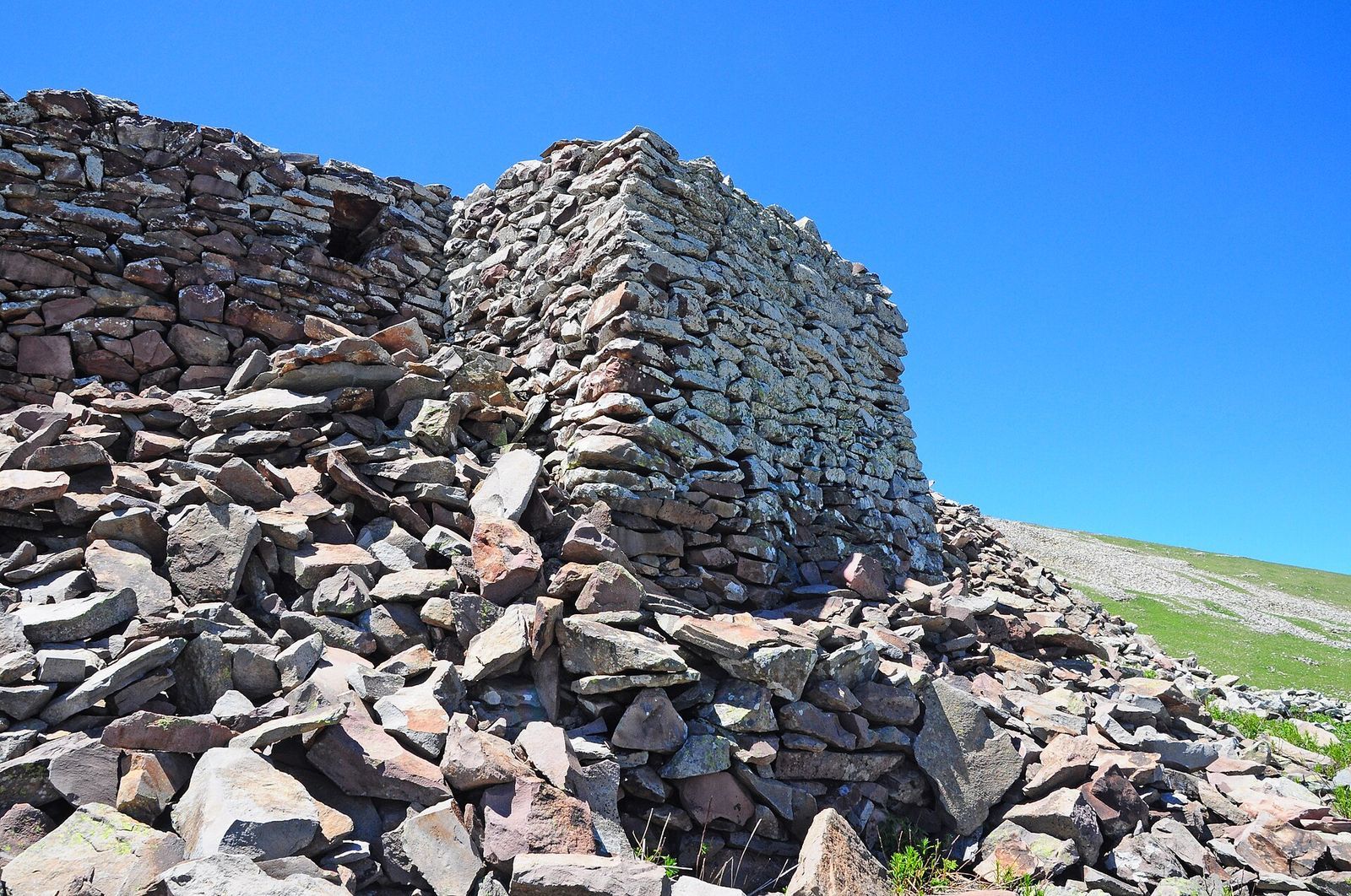
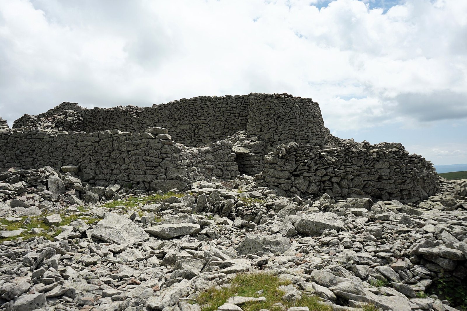
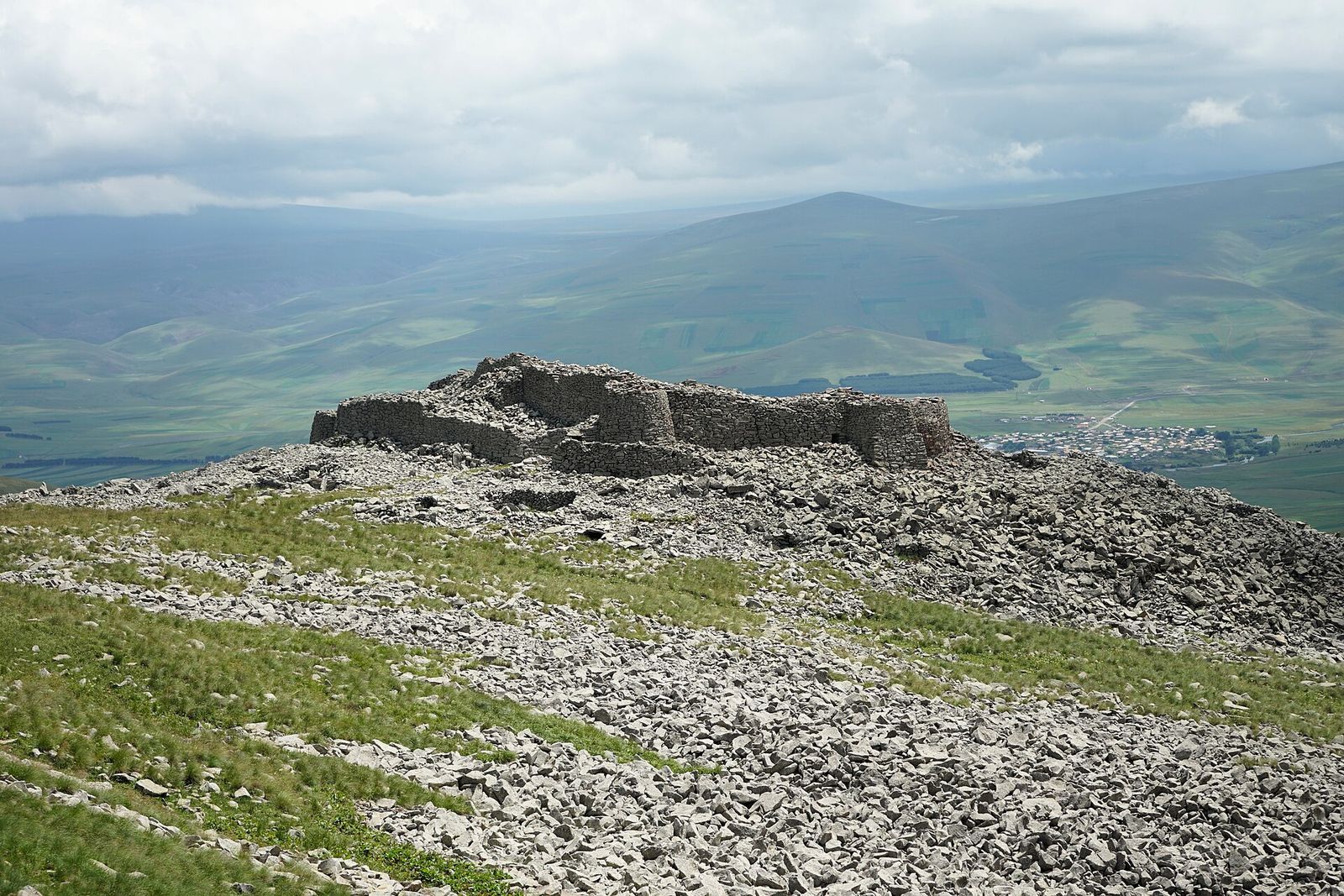
The fortress stands at 2,670 metres above sea level, southeast of Lake Paravani, on a slope covered by glacially deposited rock and sediment. Its complex layout is built from large volcanic basalt blocks set without mortar. The plan and construction have several features in common with Shaori fortress, including the building method, open passages, and approaches.
Enclosure and citadel
The fortified enclosure has entrances on its southern and eastern sides. Its walls rise to about five metres and are roughly three metres thick. An inner citadel, the stronghold’s fortified central area, measures approximately 60 by 40 metres and occupies higher ground among the shelters. The western corners are square, while those to the east are rounded. Five structures project from the enclosure, two circular and three quadrangular.
Rooms and shelters
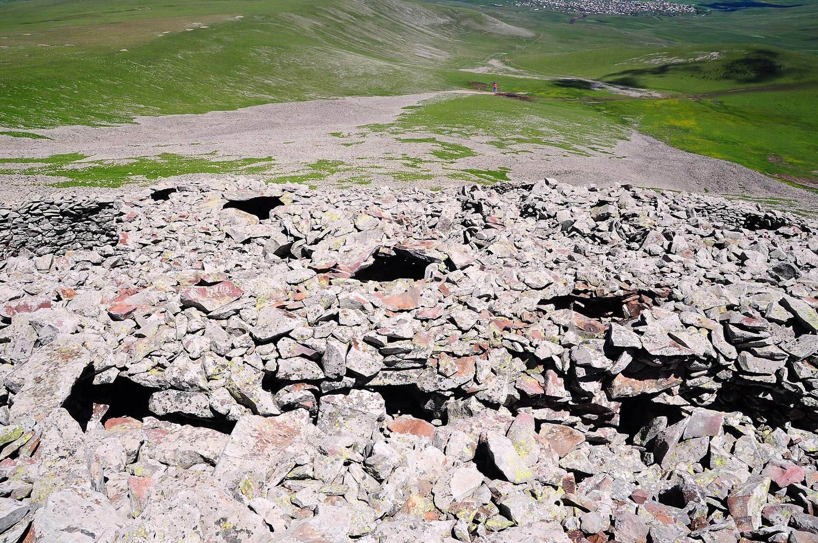
About 40 rooms or shelters are built against the inner walls and projecting structures, with some arranged on two or three levels. More shelters extend east of the citadel in terraces. Their forms include circular rooms around two metres across, elongated rooms about four by two metres with one rounded end, and larger rectangular spaces. Some were made by shifting boulders slightly within the slope. Their entrances are narrow and low, and a single stone could conceal one among the surrounding rocks.
In the circular and elongated shelters, flat roof slabs project inward in successive steps from the walls, forming a crown-like shape comparable to timber halls. The roofs over the large rectangular rooms have collapsed; they may have been flat.
Burials and spring
Stone-box graves, formed from stone-lined burial spaces, are visible at the surface. A spring emerges on the ridge south of the fortress and may have added to its defensive capacity.