Pallanum: An Ancient Italic City in Italy
Site at a Glance
- Country
- Italy
- Primary era
- Iron Age
- Eras represented
- Iron Age, Classical
- Civilizations
- Roman, Samnite
- Site type
- City
On this page6 sections
History
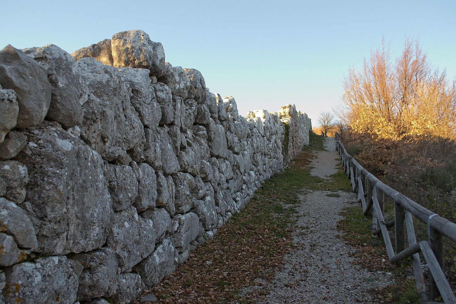
Pallanum is an ancient city of the Italic peoples, the pre-Roman cultures of the Italian peninsula, on Monte Pallano in Tornareccio, Italy. Its defensive walls were built between the sixth and third centuries BC.
Italic city and Roman-era references
The city’s name appears on the Peutinger Table, a medieval copy of a map of Roman roads. In the fourth or fifth century AD, Pallanum may have served as a stopping place on a road between Aternum, modern Pescara, and Larinum, near modern Larino. It was reckoned to lie at the seventh mile from Anxanum, now Lanciano, and the twelfth from Histonium, now Vasto.
Edward Bispham proposed that Pallanum had Samnite origins. The Samnites were an ancient people of south-central Italy. The city’s population began to decline in the first century BC. A legend later attributed its large-block walls to Charlemagne, the Frankish ruler crowned emperor in 800, although the walls belong to the much earlier Italic period.
Castle and monastic donations
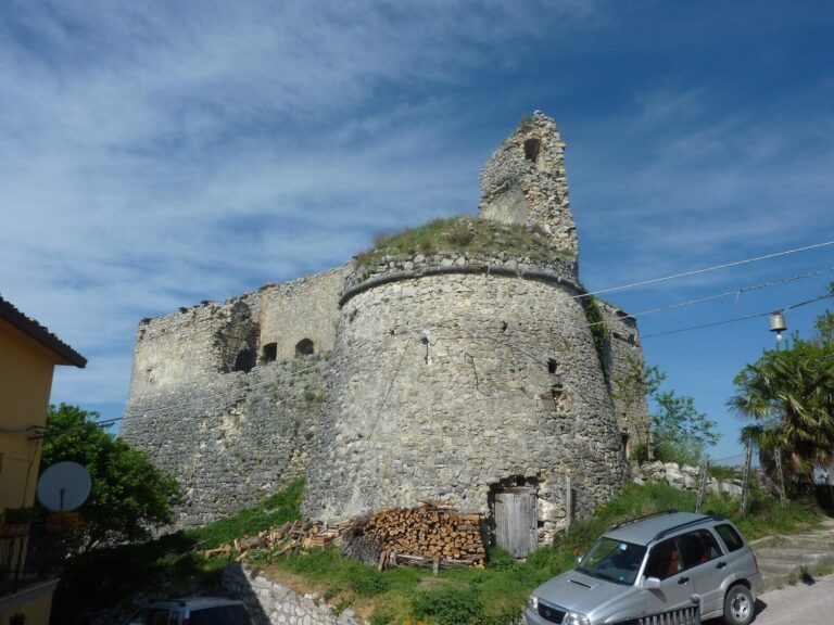
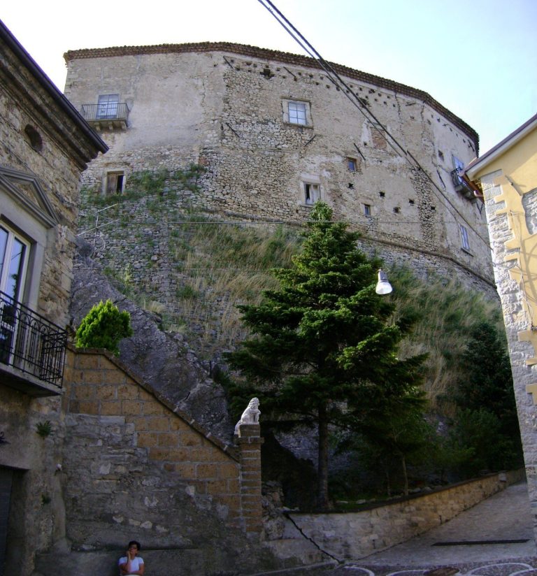
In 1006, Uberto, described as a Lombard prince, donated Pallanum’s castle and estate to the monastery of Saint Stephen at Rivo Maris for Abbot Giovanni and the monastic community. The chronicle called Uberto a count. The Lombards had established a kingdom in Italy during the early Middle Ages. In 1081, Robert, Count of the Counts of Loritello, and his brother Drogo donated the cemetery of Saint Comizio to the monastery, together with its associated rights and properties. The brothers were Normans, people of Scandinavian origin who had established political power in southern Italy during the eleventh century. Domenico Romanelli concluded that the castle lasted into the Norman period and was abandoned afterward.
Pietro Polidori, Domenico Romanelli, and Antonio Ludovico Antinori brought attention to Pallanum during the eighteenth and nineteenth centuries. Later investigations included work by Valerio Cianfarani and Andrea Staffa. Archaeological excavations took place in the 1990s.
Remains
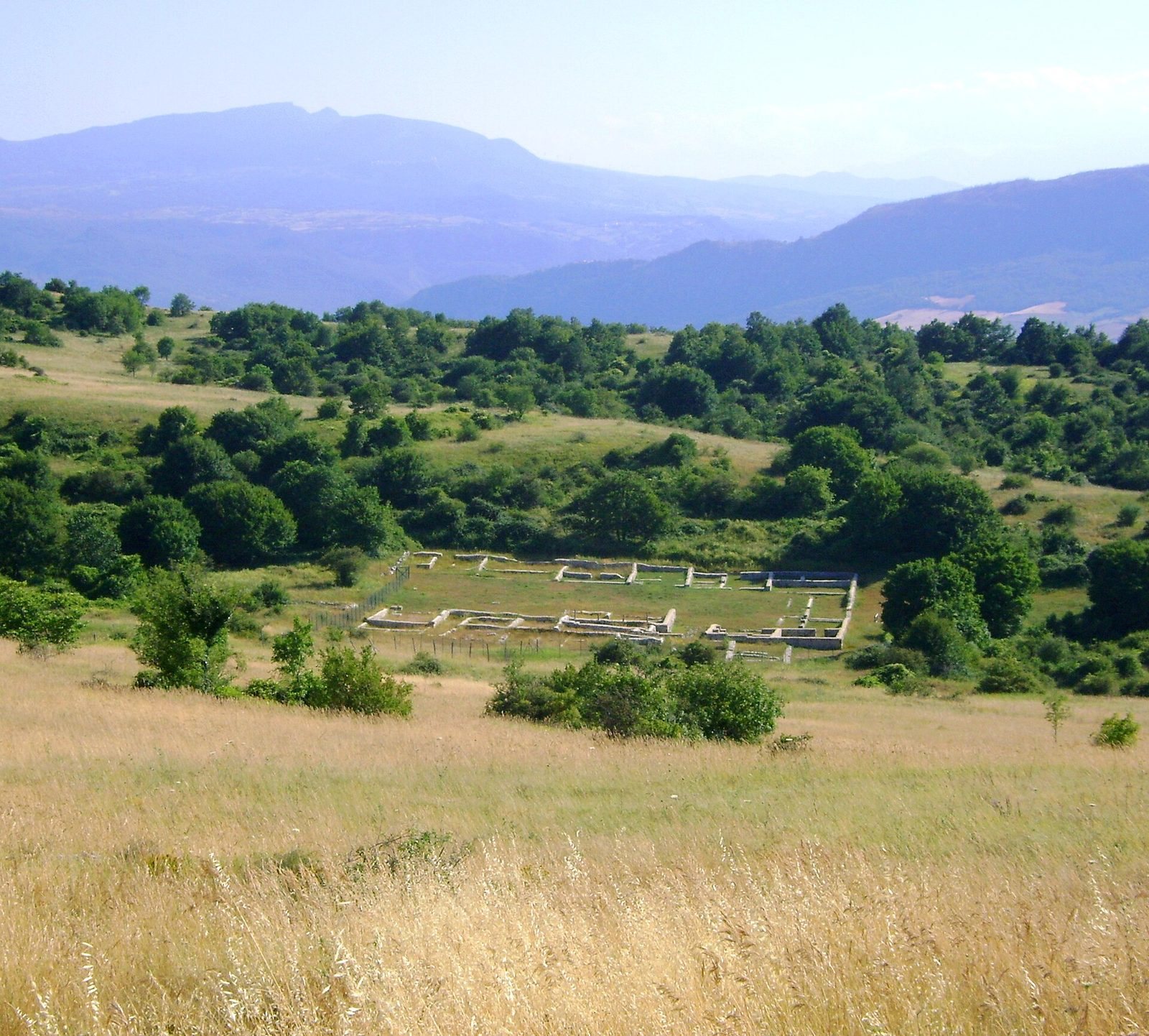
At about 1,000 m above sea level, the archaeological area extends roughly 2 km across Monte Pallano. Its remains include a defensive wall east of the settlement and, to the west at a lower elevation, buildings in a depression.
Eastern defenses
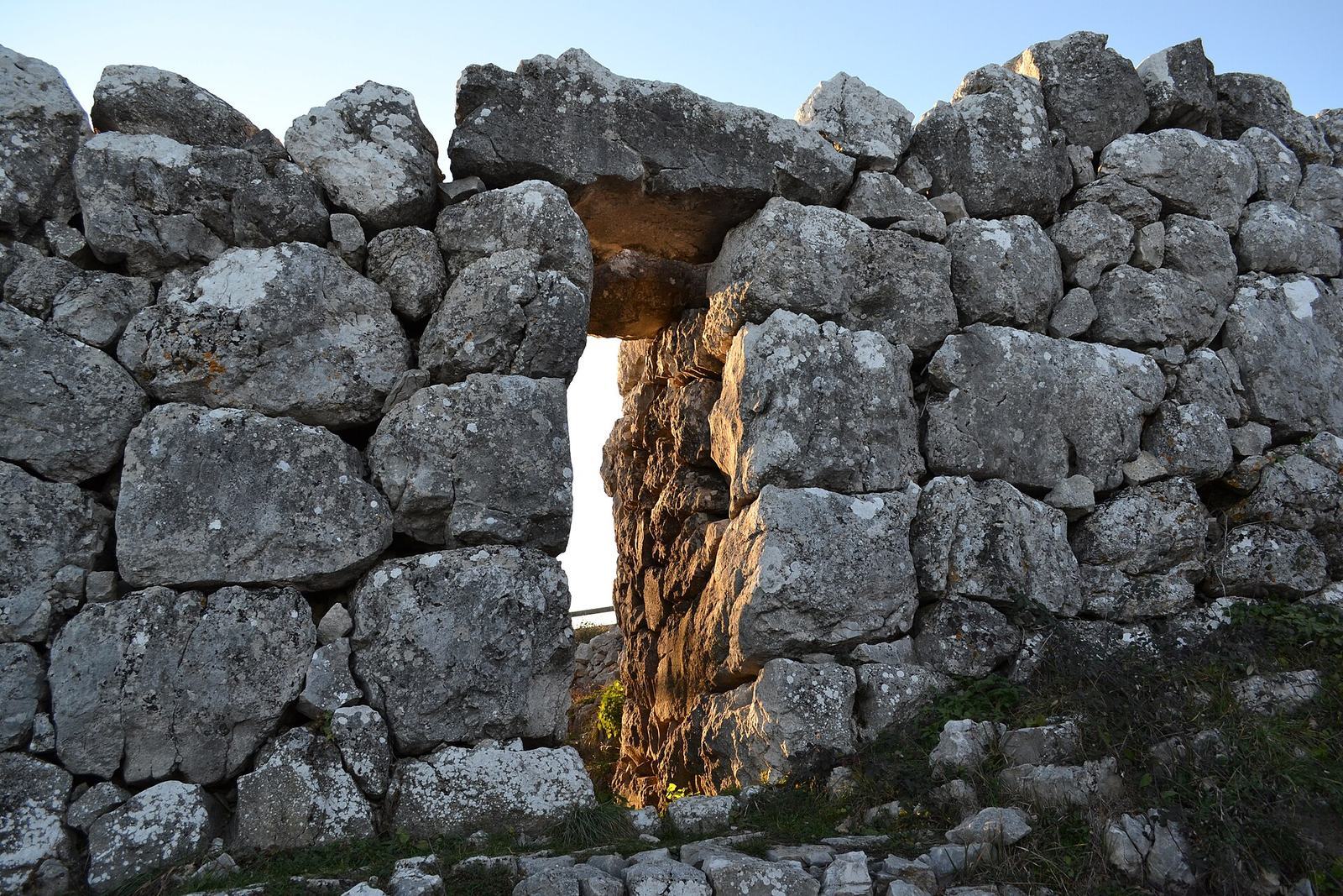
About 160 m of the eastern defensive wall survives, with an average height of 4 m. Its limestone blocks came from the mountain and were laid without mortar. The wall originally had four gates; two remain. Porta del Piano, at the site’s highest point, is 80 cm wide and has a horizontal lintel over its opening. Farther downhill, Porta del Monte is built with smaller blocks, indicating a different construction technique. Romanelli described walls around the mountain and remains of gates and towers. He estimated the mountain’s circuit at about five miles, placed the castle ruins roughly 5 km south of Atessa, and described the fortress as nearly impregnable.
Settlement west of the wall
The remains of a medium-sized settlement reflecting Roman and Hellenistic cultural traditions lie in the lower depression. Its buildings cluster around a central open space, while changes in ground height indicate that the settlement had several terraces. Some walls were built with stones laid without mortar; others use regular horizontal courses whose heights vary. The floors were made from opus signinum (a Roman building material used for floors), with clay, gypsum, and volcanic ash. Excavations yielded terracotta roof tiles, several Roman-period coins, and numerous iron objects. Ceramic and stone finds were taken to Chieti for display at the Giambattista Vico National Boarding School and the National Archaeological Museum of Abruzzo at Villa Frigerj.