Canovium: A Roman Fort in North Wales
Site at a Glance
- Country
- United Kingdom
- Primary era
- Classical
- Eras represented
- Classical, Medieval
- Civilizations
- English, Roman
- Site type
- Military
- Remains
- Fort
On this page12 sections
History
Foundation and Roman occupation
Canovium was a Roman fort at Caerhun in Conwy, Wales, in the United Kingdom. The Roman army established it around AD 75, during the period of Britannia, the Roman province that covered much of present-day Britain, at about the same time as the forts of Cicucium and Segontium.
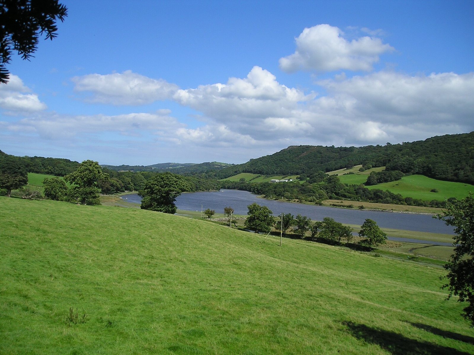
The fort controlled the lowest ford across the River Conwy at Tal-y-Cafn, near the river’s upper tidal limit. Its position also helped protect the road from Chester to Roman outposts in Wales. The place appears as Conovio in the Antonine Itinerary, a Roman list of routes and places, and as Canubio in the Ravenna Cosmography, a geographical compilation of place-names. The name’s first element may represent a Latin borrowing from an older Brythonic name for wetland, a term from the Celtic language family that includes Welsh and its historical relatives, and may be connected with reeds. The ending may derive from Novius, meaning “new,” or from a word for water or river. Either interpretation may relate to the establishment of a new fort at the crossing.
Canovium was the area’s largest Roman military installation and may have housed an infantry regiment of about 500 men. It probably also had an administrative role for the Deceangli, a people of what is now North Wales. The Deceangli remained largely outside Roman culture, and no formally constituted Roman administrative community for them existed. The settlement associated with the fort may nonetheless have served a similar local purpose.
Rebuilding in stone began in the early second century. The fort may have been abandoned briefly late in the second century, possibly around AD 196, but was occupied again by the early third century. A new kitchen was built around AD 235, and military occupation continued until at least the late fourth century. The associated settlement also remained in use until at least the end of that century.
Later use and investigation
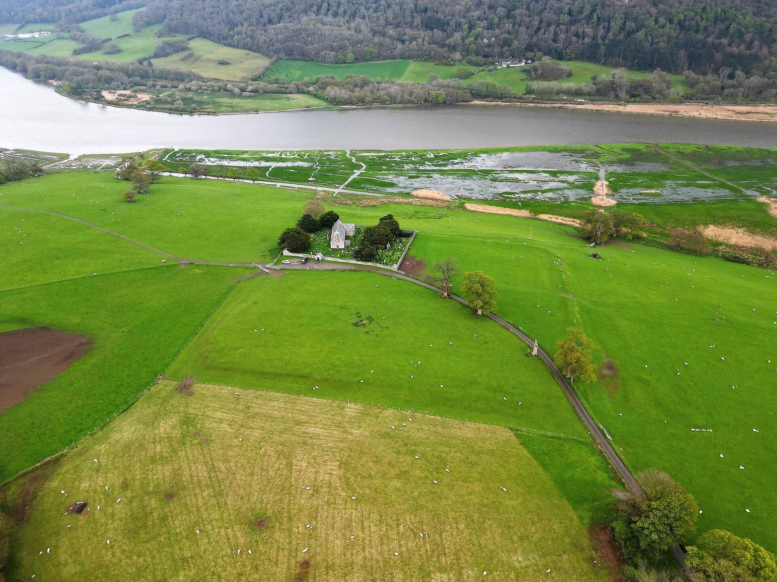
A parish church dedicated to St Mary and its churchyard were established on part of the former fort site in the fourteenth century. Archaeological investigation began in 1650, when Samuel Lee uncovered an inscription. Gale excavated there in 1719, followed by Samuel Lysons in 1801. Four summer seasons of excavation by P. K. Baillie Reynolds culminated in a collected report published in 1938.
Remains
The remains include a roughly square military enclosure, buildings within it, a bathhouse to the east, and an associated settlement to the north. The fort’s defenses changed from timber and earthwork construction to stone.
The fort and its buildings
Enclosure and defenses
The fort was described as square and measured 125 by 135 metres, covering 3.75 acres. Its earliest defenses combined timber construction with a ditch and an earthwork rampart. Later defenses included a stone perimeter wall six feet wide. The enclosure could accommodate up to 500 soldiers.
Buildings inside the fort
The interior included a headquarters building, a commanding officer’s house, granaries, and barrack blocks. The headquarters and the officer’s house were unusually large for a fort of this size.
Associated structures and finds
Bathhouse
A bathhouse stood east of the fort. Excavations exposed bathing remains measuring 39 metres in length.
Associated settlement
The settlement linked to the fort lay to the north. It contained an extensive area of occupation.
St Mary’s church
The parish church of St Mary and its churchyard occupy part of the former fort site.
Inscriptions and objects
Excavations uncovered inscriptions bearing the texts ‘LEG XX V..’ and ‘LEG X’. Finds also included coins, pottery, and other objects associated with daily life.