Hippos: An Ancient Greek and Roman City in Israel
Site at a Glance
- Popularity
- High
- Country
- Israel
- Primary era
- Classical
- Eras represented
- Classical, Medieval, Modern
- Civilizations
- Ancient Greek, Byzantine, Roman, Seleucid
- Site type
- City
On this page27 sections
History
Early occupation and Seleucid foundation
Hippos was a Greek city founded by Seleucid colonists in the first half of the second century BCE on a hill east of the Sea of Galilee in present-day Israel. As a polis, or self-governing Greek city-state, it exercised authority over surrounding territory, especially east of the lake and across parts of the Golan. Hippos was also associated with the Decapolis, a group of ten cities whose culture was more closely connected to the Greek and Roman worlds than to that of many surrounding Semitic-speaking communities.
Activity on the hill reaches back to the Early or Middle Chalcolithic period. The site was occupied again in the third century BCE under the Ptolemies, one of the dynasties that arose after Alexander the Great’s empire broke apart. Hippos may then have served as a border fortress, though it is uncertain whether the settlement was an urban community or a military post. A Ptolemaic military position may have existed before about 200 BCE.
The Seleucid dynasty, another successor to Alexander’s empire, established Hippos as a city. Its full name was Antioch of Hippos. Later coins bear the title Antioch, which may have been adopted during the reign of the Seleucid king Antiochus IV Epiphanes. Hippos also issued its own coins, including issues bearing a horse. The Greek name Hippos means “horse”; its Aramaic name, Sussita, means “mare,” while the Arabic name Qal’at al-Husn means “Fortress of the Horse.” The origin of the horse imagery is uncertain. Explanations have linked it either to the shape of the hill or to cavalrymen who may have founded the city.
Around 83–80 BCE, the Hasmonean ruler Alexander Jannaeus conquered Hippos. The Hasmoneans were a Jewish ruling dynasty. Josephus says that Hippos’ inhabitants were forced to convert to Judaism and undergo circumcision.
Roman rule and regional traditions
In 63 BCE, the Roman general Pompey conquered Coele-Syria and Judea, ending Hasmonean independence. Coele-Syria was a contested region between the Ptolemaic and Seleucid kingdoms. Hippos became part of the Roman province of Syria but retained some autonomy. Herod the Great, a Roman-backed king of Judea, received the city during his reign; after his death in 4 BCE, it returned to the province.
Josephus portrays Hippos as a pagan city and a bitter rival of Jewish Tiberias across the lake. During the First Jewish–Roman War of 66–70 CE, Hippos’ inhabitants massacred the city’s Jewish residents. Jews from Hippos also joined an attack on Magdala, while Jewish rebels attacked Hippos itself at least once.
Rabbinic writings describe Hippos as a non-Jewish city exempt from agricultural tithes, the required portions of produce, and from sabbatical-year farming obligations. The Tosefta and Jerusalem Talmud also name Jewish-populated towns within Hippos’ territory whose residents remained subject to these rules: Nov, Hasfiya, Kfar Yahrub, Kfar Zemah, Einush, and Ayyun. Zemah, Ein Awanish, and Khirbet Ayyun have been proposed as modern identifications for some of these places, though not all are certain. Rabbinic tradition also connects the region with the Land of Tob, where the biblical figure Jephthah took refuge. One Jerusalem Talmud passage describes women judging from sunlight still visible on Hippos that a child had been born during daylight, although nearby Tiberias was already shaded by the mountain to its west.
Some Christian interpretations have tentatively linked Hippos with the New Testament’s image of a city on elevated ground and with the setting of the miracle described in Mark 5 and Luke 8. Both identifications remain conjectural.
After the Bar Kokhba revolt, a major Jewish uprising against Roman rule in 132–135 CE, Hippos became part of the Roman province of Syria Palaestina. The city had reached a high point of prosperity and growth in the early second century CE.
Christianity, earthquakes, and abandonment
Christianity had a presence in Hippos by at least the fourth century, and the city was the seat of a bishop by 359. At least seven churches are associated with the city, with another estimate proposing a total of eight. In the Byzantine period, when the eastern part of the Roman Empire continued under that name, Hippos belonged to Palaestina Secunda, a province that included Galilee and the Golan.
An earthquake destroyed Hippos in 363, and rebuilding took about twenty years. The city later declined, particularly during the sixth century as Byzantine power weakened. Rashidun forces, part of the early Islamic caliphate, conquered the region, completing the conquest in 641. The Arab rulers allowed Hippos’ Christian inhabitants to continue practising their religion, a policy maintained under the later Umayyad caliphate. The population and economy nevertheless continued to shrink. An earthquake in 749 destroyed the city, which was abandoned and never resettled.
Military occupation and archaeological study
During the 1948 Arab–Israeli War, Syrian forces occupied the summit, where they could observe and fire on Ein Gev below. On the night of 17–18 July 1948, fighters from Ein Gev and the Jordan Valley captured the position. A jeep track and a cableway were built in the early 1950s to supply soldiers there. The Israeli military used the hill as a forward border position until the 1967 Six-Day War. On 10 June 1967, a 120 mm mortar battalion on the summit supported the helicopter-borne 80th Brigade’s capture of southeastern Golan.
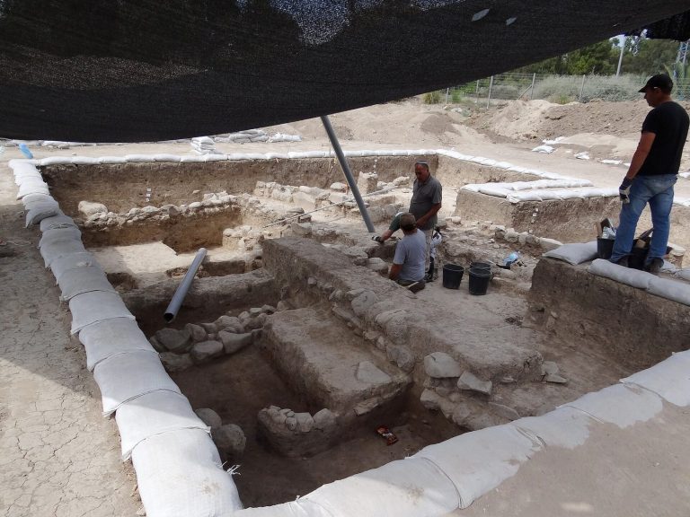
Gottlieb Schumacher surveyed the ruins in 1883–1885 but mistakenly identified them as ancient Gamala. The first excavations followed discoveries by Israeli soldiers in the 1950s; Claire Epstein, Michael Avi-Yonah, Ruth Amiran, and Emanuel Damati were among the excavators. After a survey in 1999, excavations resumed in 2000 and have continued annually. Israeli, Polish, and American teams took part in the early seasons, with Arthur Segal and Michael Eisenberg among the co-directors. Eisenberg directed the work from 2012, and Arleta Kowalewska joined the leadership in 2016. Hippos became a national park in 1964, and the surrounding area, including the archaeological site, was declared a national reserve in 2004.
Remains
City plan and defences
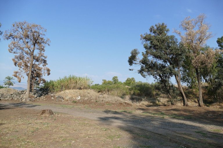
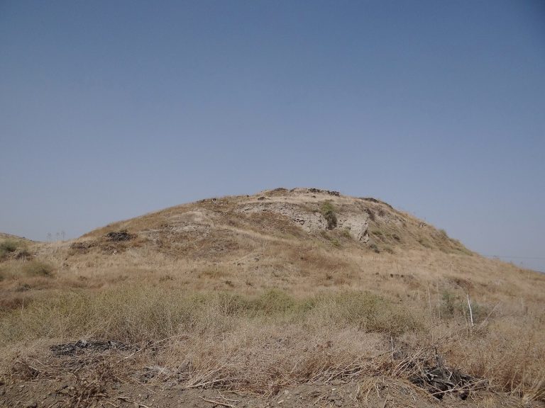
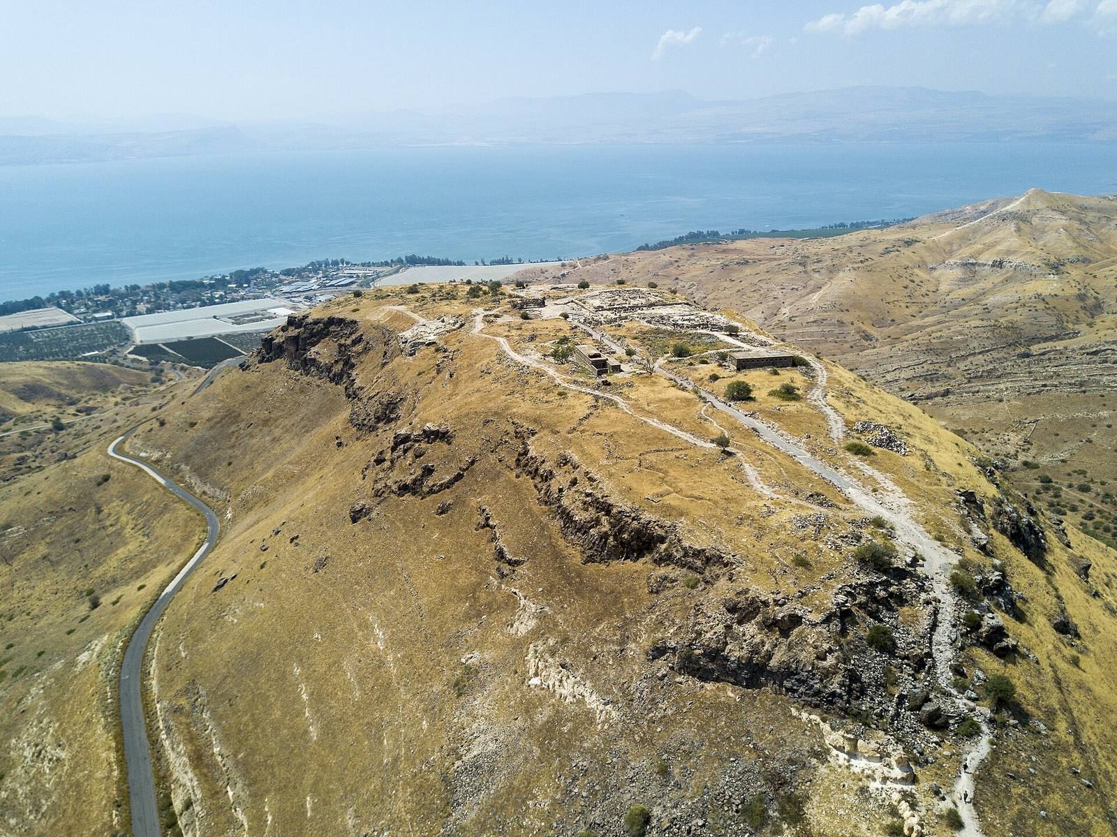
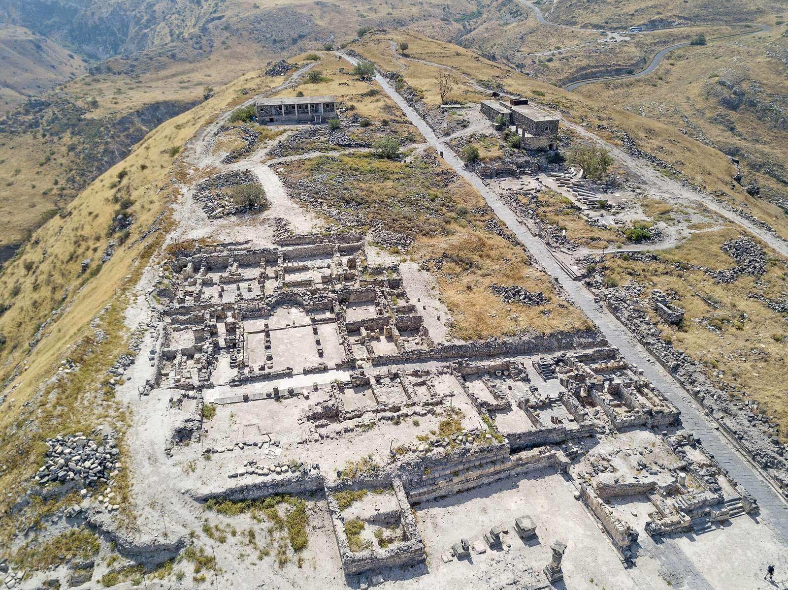
Hippos occupies a flat-topped hill about 2 km east of the Sea of Galilee, roughly 350 m above the lake and with a summit about 144 m above sea level. Cliffs border the hill; a saddle on its eastern side connects it with the western slopes of the Golan Heights. The ancient city extended approximately 550 m by 200 m. Local basalt and nari, a calcareous building stone, were used in its construction.
Streets and public center
A main colonnaded street ran east–west through the city, crossed by smaller streets at right angles. Basalt columns lined the main route. The central forum, the city’s main public space, was decorated with granite columns brought from Egypt.
Walls and southern bastion
The surviving archaeological areas include the eastern gate, defensive walls, a ditch, and adjoining fortifications. A southern bastion, a strengthened projecting defensive position, was intended to hold defenders’ projectile-throwing machines. The city’s fortifications had ceased to function as defences by the second century CE.
Harbours
Hippos had two harbours on the Sea of Galilee. The earlier and principal harbour lay between present-day Kibbutz Ein Gev and its resort area. Sections of its breakwaters become visible when the lake level is especially low.
Water supply
In the Hellenistic city, rainwater collected in cisterns was supplemented by small clay aqueducts carrying water from Ein Fiq and Ein Haruv. During the Roman period, two parallel aqueducts brought water from the Black Waterfall area in the Golan, about 24 km away. The water was stored in a large vaulted cistern.
Civic and entertainment buildings
Temples and sacred spaces
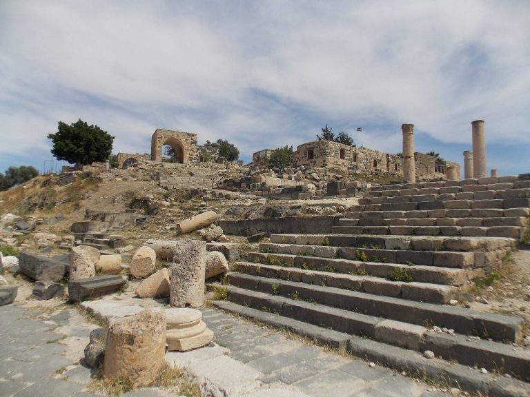
The remains include Greek and Roman temples, a Hellenistic sacred enclosure, and a Roman imperial shrine. Residential quarters and bathhouses formed other parts of the urban fabric.
Complex on the saddle
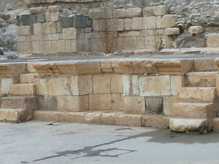
A second-century CE complex stood outside the walls on the north-western part of the saddle. It combined a monumental entrance gateway about 6.5 m high, a public bathhouse about 70 m long, and a Roman theatre, only part of which has been exposed.
Performance and civic buildings
The city’s Roman-period remains also include an odeon, a small building for performances or gatherings, a small theatre, and a basilica, a large public hall used for civic functions. A Roman theatre dated to the second century CE was discovered in 2017, when excavation of it was still at an early stage.
Churches
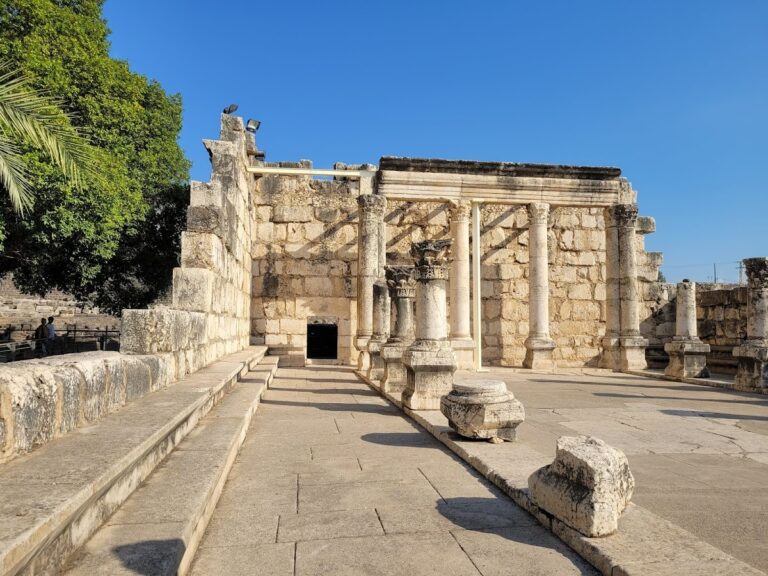
At least four churches had been excavated by 2025. Although their designs differ, they share an east–west orientation, usually with entrances to the west and an apse, a rounded projection, at the eastern end. Their prayer halls generally had three aisles divided by columns and floors decorated with mosaics.
North-western church
The north-western church was probably built in the fifth century. Its rectangular hall had three aisles divided by two rows of basalt columns with capitals shaped to imitate Greek forms. Three doors in the west wall, a broad central entrance between two smaller ones, were arranged like a Roman triumphal arch. Colourful mosaics with geometric and plant designs covered the floor. Near the apse stood a rectangular platform and a marble screen separating the congregation from the sanctuary. A side room north of the apse was later given a smaller apse of its own.
North-eastern church
About 50 m east of the north-western church, the north-eastern church dates to the middle of the fifth or the beginning of the sixth century. Its rectangular hall had three aisles formed by two rows of five columns. The eastern apse projected beyond the wall line; a narrow entrance court lay west of the hall, and service rooms stood to its north. A church service room in the southern part contained a water shaft. Two phases of floor mosaics were identified: an earlier, finer floor with crosses and a later one with plant designs. Parts of both survive. Two stone coffins held human remains: one contained a woman, and the other a woman and two men.
South-western church
The south-western church lies in a western residential quarter. Its decoration had once led to its misidentification as a synagogue, but excavation in 2005 established that it was a Byzantine church. The rectangular hall had three aisles divided by two rows of five columns, and an eastern apse faced a raised rectangular altar platform. The side aisles had geometric mosaics, while the central aisle featured plant designs that included fish and scale-like forms. Marble screens separated the altar from the congregation; one bore a relief of two deer. A red-limestone container for saints’ relics lay beneath the apse. Burn marks suggest that fire damaged the church before a later earthquake.
South-eastern church and baptistery
The south-eastern church, also known as Hippos Cathedral, is the city’s largest and most elaborate church. Its rectangular hall had three aisles divided by two rows of eight columns, with an apse at the east end. Three doors in the west wall connected an entrance court to the church. On the north side, a three-aisled baptistery, a place for Christian baptism, had three apses and a circular baptismal pool. The building used marble and red and grey granite from Aswan in Egypt, as well as white-marble Corinthian capitals. A lead pipe indicates that it had a functioning water system. An inscription found in the church, together with its scale and decoration, places its construction in 591.
Burials and finds
Saddle necropolis
Two elaborate tombs have been exposed in the burial ground on the saddle: the Lion Mausoleum and the Flower Mausoleum. The excavated remains also include stone coffins and a series of burial bases from the Roman period.
Sculpture and religious objects
A pagan tombstone for a man named Hermes was found outside the city walls. A large bronze mask depicting Pan, the Greek god associated with wild nature and shepherds, was recovered at Hippos in 2015. It dates between the first century BCE and the second century CE. Christian imagery on Byzantine brass bread stamps and on a church screen was covered with a paste of tin and lead.
Coin hoard and inscribed projectile
A hoard of gold coins and precious stones was found in July 2025. One coin bears the portrait of the Byzantine emperor Heraclius, who ruled from 610 to 641. The hoard may have been concealed after a coin minted in 613, during the Sasanian conquest of the region.
In March 2026, an inscribed lead sling projectile more than 2,000 years old was found at the site. Its Greek inscription means “Learn.”
Modern military remains
Cableway
A section of the cableway built to supply the military position in the early 1950s remains visible. Lieutenant Colonel David Laskov, an Israeli military officer and engineer, built the cableway.
Memorial
A memorial to Lieutenant Rami Zait stands at the western end of the hill beside two planted olive trees. Zait, commander of the military position, was killed on Israel’s nineteenth Independence Day.