Castra of Buciumi: A Roman Auxiliary Fort in Romania
Site at a Glance
- Popularity
- Very Low
- Country
- Romania
- Primary era
- Classical
- Eras represented
- Classical
- Civilizations
- Roman
- Site type
- Military
- Remains
- Fort
On this page19 sections
History
The Castra of Buciumi is a Roman auxiliary fort at Buciumi, Romania. Roman forces built it around AD 106–110, during their early occupation of Dacia, a province in the region of present-day Romania. The fort guarded the northwestern frontier and routes through nearby mountain passes.
Foundation and frontier role
The fort began with timber-and-earth defenses and later underwent two stone construction phases, including repairs. Its stone form dates to the early third century and is associated with the reign of Caracalla, who ruled from AD 211 to 217. Some subsequent building work may belong to the reign of Severus Alexander, from AD 222 to 235. The fort remained in use into the third century and was abandoned during that century.
Inscriptions, military diplomas, and stamped bricks name several possible garrison units. These include Cohors I Ulpia Brittonum, also known as Britannorum or Britannica; Cohors I Augusta Ituraeorum; Cohors II Augusta Nervia Pacensis milliaria Brittonum, also called Nerviana; Cohors I Hispanorum; and Cohors I Flavia Ulpia Hispanorum. An auxiliary cohort was a non-legionary Roman military unit, while milliaria indicated a cohort of double strength. The sequence and presence of these units are not fully established. The first fort may have been garrisoned initially by Cohors I Augusta Ituraeorum, followed by Cohors II Augusta Nerviana milliaria Brittonum.
The garrison monitored movement through the Ragului Pass toward the Barbaricum, the Roman term for lands beyond the imperial frontier, and along the Poicului Pass route southwest to Resculum. Connections also linked the fort with the Agrij Valley and nearby military sites at Românași, Romita, Porolissum, and Tihău.
A civilian settlement, or vicus, served the military community. Its residents included soldiers’ families and veterans, alongside craftspeople, merchants, tavern keepers, sex workers, and other service providers.
Excavation and protection
Excavations led by archaeologist Eugen Chirilă from 1963 to 1976 established the fort’s construction phases. Finds recovered there were transferred to the County Museum of History and Art in Zalău. Romania protects the site under its 2001 law on historic monuments, and in 2024 the Castra of Buciumi became one of the sites included in the UNESCO World Heritage listing for the Dacian Limes, Rome’s frontier zone and associated military infrastructure.
Remains
The fort stands on a high terrace near the northern edge of Buciumi, sloping southeast between the Lupului and Mihăiasa streams, close to their meeting with the Agrij River. Its rectangular defenses preserve a sequence from timber-and-earth construction to a larger stone enclosure.
Fort enclosure and defenses
Timber-and-earth fort
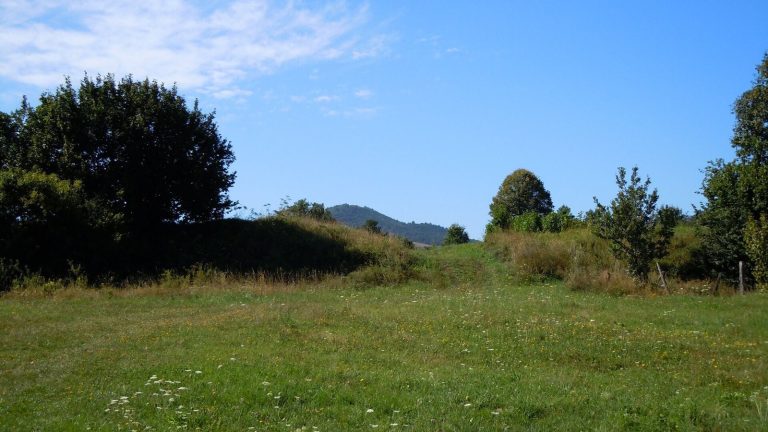
The earliest fort had a rectangular plan measuring 125 by 160 metres, covering about two hectares, with its corners aligned to the cardinal directions. Its earthen rampart, reinforced with timber, was 10 metres wide and 1.75 metres high. A ditch outside it measured 9–10 metres across and 1.5–2 metres deep. The principal gate probably stood on the southeastern side, and traces of barracks were found in the forward part of the camp.
Stone fort
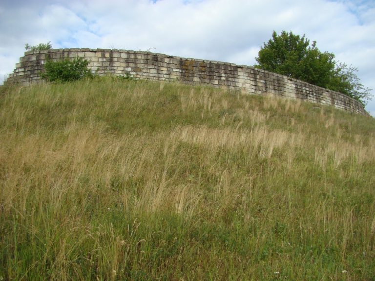
The later stone fort kept the earlier orientation but extended to 134 by 167 metres, or 2.24 hectares, with rounded corners. Its enclosing wall was 1.2 metres thick and made from irregularly shaped stones; a ditch outside the wall retained the earlier dimensions. Trapezoidal towers occupied the corners, with side measurements of 5.4, 5.5, 5.5, and 7 metres. Along the front, towers stood on either side of the principal gate.
The principal and side gates had two passages, except for the southwestern gate, which had one; the rear gate also had a single passage. Towers projected outward beside the gates. Those at the principal gate were rectangular, while those at the other gates were semicircular and measured 7 by 4.5 metres.
Internal plan and buildings
Sectors and streets
The fort’s front sector covered about half the area of its rear sector. A dividing wall followed the cross street near the headquarters, while another wall crossed the camp in front of that building. Gaps in this second wall aligned with passages beside the headquarters and side gates. The main road from the principal gate toward the headquarters was 6.3 metres wide; the cross streets beside the headquarters measured 7.2 metres. A road ran along the inside of the defenses during the first stone phase. Later extensions to the commander’s residence narrowed it, and two buildings constructed in the third century covered parts of it near the front.
Headquarters
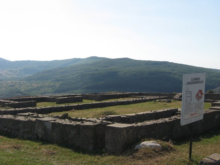
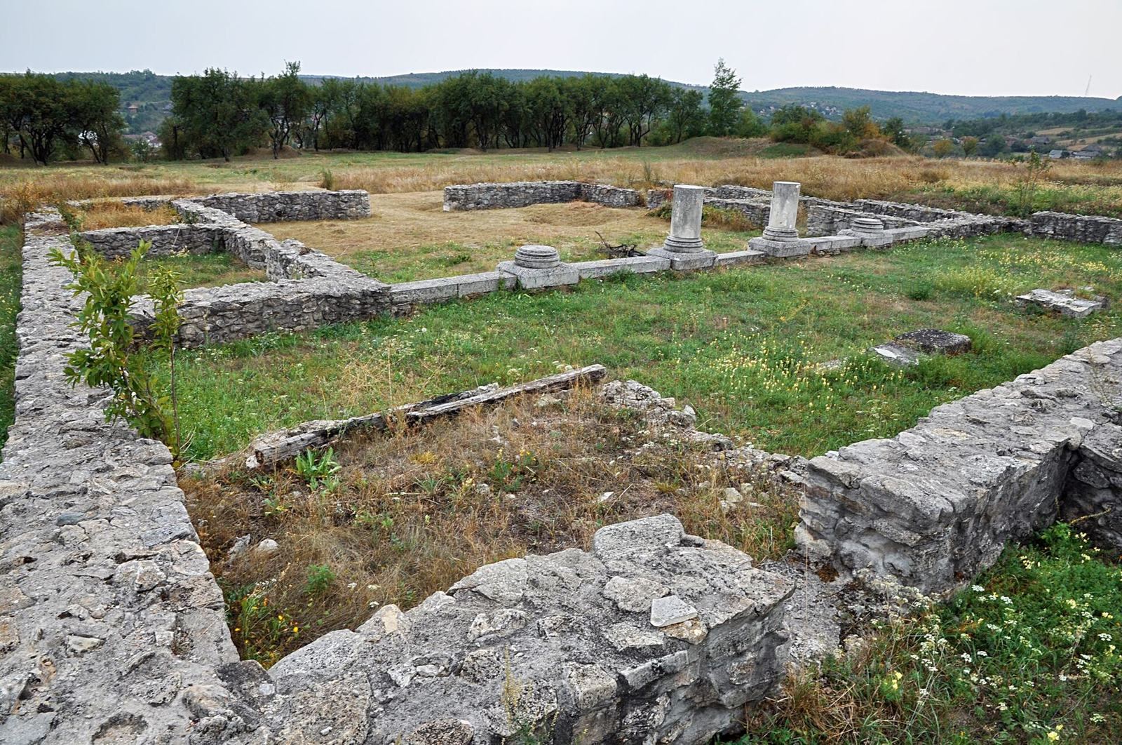
The headquarters building (principia) stood on the fort’s long axis, almost symmetrically placed between its sides. Its entrance lay about half a metre west of the centerline. Natural stone and brick formed the masonry. Foundations were 1–1.05 metres wide, the walls above them 0.8 metres thick, and surviving remains rose as much as 0.4 metres above modern ground level. Inside, an atrium courtyard had a two-room suite on each side. Beyond it stood a basilica, a large hall for official and administrative activity, followed by a rear range of five rooms.
Commander’s residence
The commander’s residence (praetorium) lay between the headquarters and the side gate on its right. Its Mediterranean villa-inspired plan measured 31 by 28 metres and covered 868 square metres. A rear atrium was surrounded by rooms of varying sizes. The entrance apparently faced the principal cross street, with a portico separating the building from the road.
Possible storage buildings
Two large rectangular stone buildings stood to the left of the headquarters, between it and the other side gate. Their positions and architectural features suggest they may have been granaries. The building nearer the headquarters measured 25.3 by 12.8 metres; the other measured 26 by 13 metres. Postholes in this area may mark earlier timber structures.
Accommodation and later construction
Barracks
Six blocks in the front sector are identified as barracks: on each side of the main approach road, two single blocks and one twice-as-wide block. Together, they could have housed eight centuries, subdivisions of a Roman military unit that did not necessarily contain 100 soldiers each, enough for an infantry cohort of about 480 men. The blocks averaged about 50 metres in length. Soldiers’ rooms occupied roughly 40 metres, with centurions’ quarters near the ends facing the road beside the defenses. Single blocks were 9 metres wide and double blocks 19 metres wide. Their exact uses remain uncertain: one narrower building may have been a stable, while the wider structures may have served as workshops or a hospital.
Third-century buildings
Two buildings erected near the principal gate during third-century alterations covered parts of the interior road beside the defenses. One measured 15 by 8 metres, or 120 square metres; the other was 28 by 7.5 metres, or 210 square metres. Their purpose is uncertain, and coins place their construction around AD 220.
Settlement and frontier landscape
Civilian settlement
Remains of the civilian settlement extend northeast of the fort. Geophysical surveys have located some of its structures. The fort’s baths lie about 150 metres southeast, in the area known as Fântânita Bentii, where geophysical methods detected them.
Frontier defenses
The Porolissensis frontier ran about 3–5 kilometres northwest of the fort. Its network included two small forts and about 23 watchtowers. At the Rag Pass, a stone barrier controlled movement and directed traffic toward a guarded entrance.
Present condition
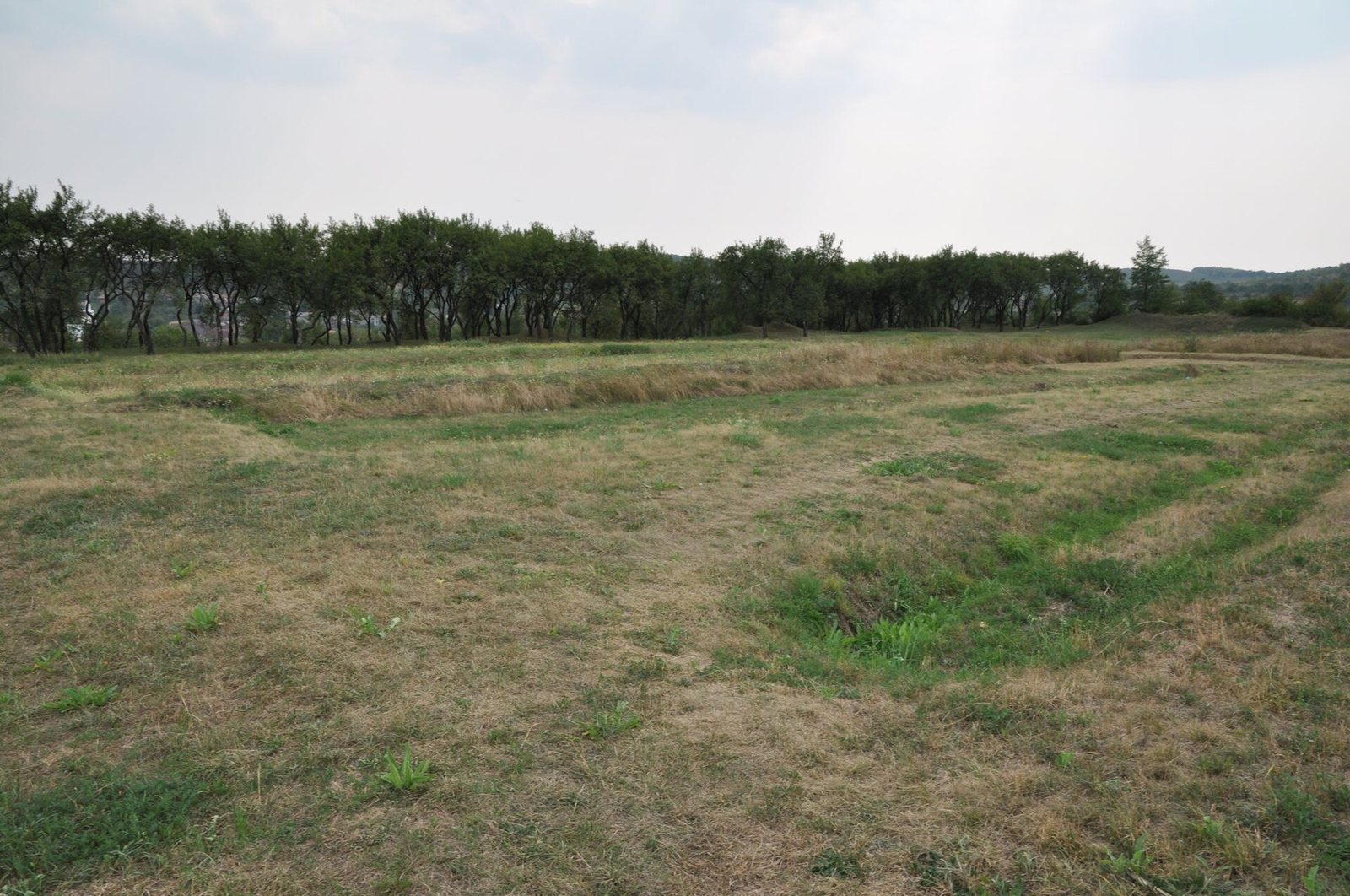
The fort walls survive in a partially restored and conserved state.