City Walls of L’Aquila: The Medieval Enclosure of the City
Site at a Glance
- Popularity
- Medium
- Country
- Italy
- Primary era
- Medieval
- Eras represented
- Medieval, Early Modern, Modern
- Civilizations
- Italian, Kingdom of Naples, Kingdom of Sicily, Kingdom of the Two Sicilies, Spanish
- Site type
- Military
- Remains
- Wall
On this page26 sections
History
Origins and foundation
The City Walls of L’Aquila enclose the historic centre in Italy and took their principal form in the thirteenth-century Angevin period, associated with the House of Anjou. Before the city was founded, the settlement of Acculi, also called Acquilio, stood in the area. Its name was linked to the abundance of groundwater. Pope Gregory IX’s letters of 1229 identify the locality as the chosen site for a new city, while a 1254 diploma of Conrad IV, a German king, names it as the site of the primitive city. Acculi was one of the rural settlements whose communities contributed to L’Aquila’s foundation, and the only founding settlement later enclosed within the walls.
Other settlements associated with the city’s four quarters included Sant’Anza, La Torre, and Pile. The area also had the church of Santa Maria di Acculi, built in 1095. Franciscan nuns, women in the religious movement founded by Francis of Assisi, settled at Santa Chiara d’Acquili in the thirteenth century. The ancient Via Claudia Nova ran near the Aterno River.
The Angevin circuit and four quarters
Walls may have been built soon after L’Aquila’s foundation, but they did not prevent Manfred, a Hohenstaufen king of Sicily, from destroying the city in 1259. Charles I of Anjou, a French prince who established Angevin rule in southern Italy, rebuilt it in 1265-1267. A new circuit was begun in 1270 under Lucchesino da Firenze. It was considered complete by 1316, when Leone di Cecco da Cascia was Captain of the City, a municipal officeholder. A plaque on Porta Barete records that year.
The circuit formalized the city’s organization into four historic quarters: San Pietro, Santa Maria, San Giorgio, also known as Santa Giusta, and San Giovanni, also called San Marciano. Its four original gates connected the quarters with their associated rural settlements and the surrounding countryside. The San Giovanni quarter received settlers from Sassa, Roio, Pianola, Rocca Santo Stefano, Tornimparte, Machilone, Rocca di Corno, and Lucoli. The main east-west route crossed a north-south route at Quattro Cantoni.
Defenses and Spanish rule
Additional openings were made along major roads between the thirteenth and sixteenth centuries, while access from outside the walls was otherwise restricted for defense. In 1423-1424, the circuit withstood a siege lasting more than a year, led by Braccio da Montone, an Italian commander of professional mercenary troops. The siege ended with L’Aquila’s victory.
Under Spanish rule in the sixteenth century, L’Aquila was separated more firmly from its rural hinterland, which was divided into fiefs assigned to captains of the imperial army. The city gates consequently became less important. Between 1534 and 1567, residents were compelled to demolish a whole neighbourhood and an adjoining wall section in the Paganica and Tempera districts to make room for the Spanish Fort. Porta Barisciano was closed and eventually demolished, with Porta Castello taking its place. The fort’s construction accompanied a gradual change from the medieval street pattern toward a Renaissance-inspired plan based on principal streets crossing at right angles. Maps from the fifteenth to seventeenth centuries emphasize routes such as Corso Vittorio Emanuele, Via Roma, and Via Castello alongside older, less regular streets.
Expansion and changing functions
Porta San Ferdinando, later called Porta Napoli, was built in 1820 in honour of Ferdinand II of the Two Sicilies. Its construction began development inside the walls in an area that had previously remained largely unbuilt. During the nineteenth century, Campo di Fossa gained gardens, public buildings, private villas, and new road connections. Industrial and transport development beside the Aterno River and the railway station led to the last new gate in the late nineteenth century.
After losing their defensive purpose, the gates retained administrative and fiscal uses at least until the mid-twentieth century. Duties were collected on goods brought into the city, and the gates were shut at night. L’Aquila remained largely within the circuit until the nineteenth century, but urban works in the late nineteenth and early twentieth centuries altered several stretches. Porta Barete was covered and partly demolished to reduce the road’s gradient; construction of a viaduct at Collemaggio cut through the wall and destroyed Porta Civita di Bagno; and a wall section beside the Spanish Fort was demolished for a sports complex. A monumental fountain later took the place of Porta Paganica as the northern limit of Corso Vittorio Emanuele.
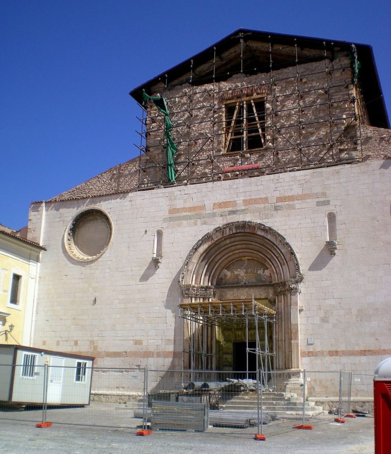
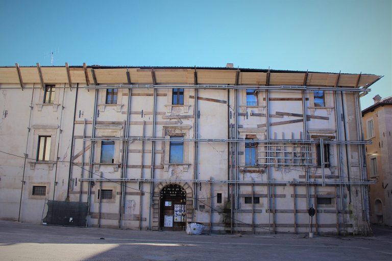
The 2009 earthquake caused wall collapses and damage to several gates, followed by reconstruction and repairs. Work after the earthquake also brought important remains to light in the western wall area. By December 2015, 80 percent of the walls had been reconstructed, and Porta Napoli had received major restoration work.
Remains
The circuit and its layout
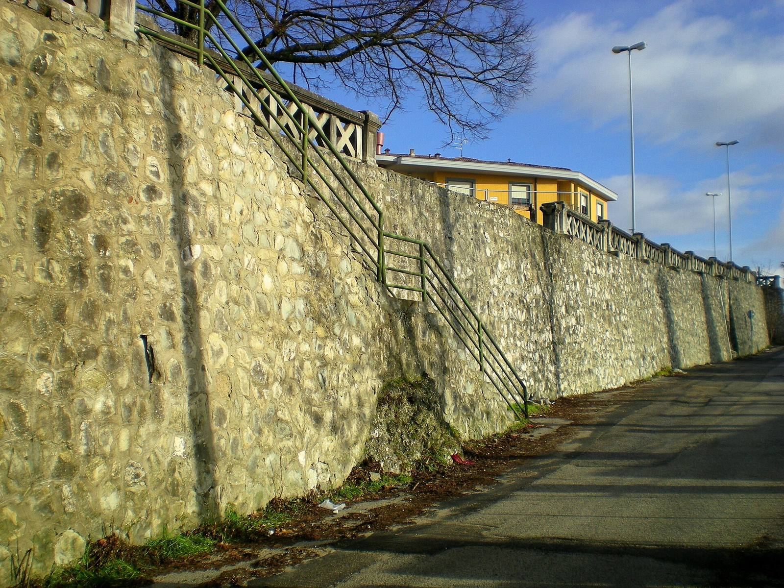
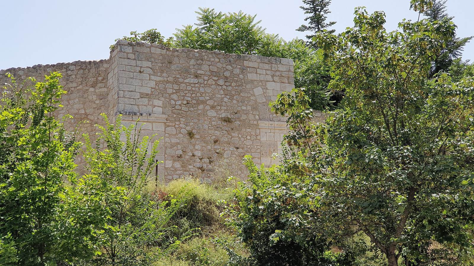
The walls follow the ground, including the hill on which L’Aquila stands, and enclose an area of about 157 hectares. The planned enclosure was intended to accommodate tens of thousands of inhabitants, although it was not fully built over until the twentieth century. More than 5.5 kilometres of the circuit survive, retaining approximately its original shape. Its height has been substantially reduced over time, particularly by earthquakes; the city’s landform and compact built fabric also contributed to its defense. The circuit can be followed in four measured stretches: just over 1,300 metres from Porta Barete toward the former site of Porta Paganica; about 650 metres between Viale Gran Sasso and Via Castello, much of it formed by the Spanish Fort; nearly 1,200 metres between the former Porta Barisciano and Porta Civita di Bagno sites; and more than 2,500 metres from Viale Collemaggio to Via XX Settembre. This last stretch is mostly inaccessible from outside, except between Rivera and the railway station. In the seventeenth century, Crispomonti compared the outline with Jerusalem and the constellation Aquila, proposing that the city’s churches echoed the stars’ positions.
Principal medieval gates
Porta Barete
Also known as Porta di Lavareto, Porta Barete stood at the western end of Via Roma and served the San Pietro quarter. It was the principal entrance, near the hospital of Santo Spirito de’ Bastardi. The gate complex included an outer defense, a central square, and an inner gate. Remains of the outer entrance extend for more than 45 metres along Via Vicentini, while traces of the square and inner gate lie on Via Santa Croce.
Porta Paganica
Porta Paganica served the Santa Maria quarter from the northern end of Corso Vittorio Emanuele. It had been closed by 1622 and was demolished in 1753. The 1934 Fontana Luminosa, made by sculptor Nicola D’Antino, later became the avenue’s northern endpoint.
Porta Bazzano
At the eastern end of Via Fortebraccio, Porta Bazzano served the San Giorgio, or Santa Giusta, quarter. Traces remain of its double defense and central square, and the nearby hospital was San Matteo de’ Bastardi. Following severe damage in the 1703 earthquake, the gate changed from a turreted medieval form to its present Neo-Baroque appearance, a later revival of Baroque architecture. Its outer face carries L’Aquila’s arms and images of the city’s four protectors.
Porta Rivera
At the southern end of Borgo Rivera, Porta Rivera connects the walled city with the old settlement of Acculi, now Borgo Rivera. It stands between the Fountain of the 99 Spouts and the church of San Vito alla Rivera, and served the San Giovanni, or San Marciano, quarter.
Other gates and openings
Porta di Pizzoli
Also called Porta di Pizzoli, this gate stands at the western end of Viale Don Bosco in the Lauretana area. It marks one end of a Renaissance-era route along Viale Don Bosco, Via Garibaldi, and Via Castello, with Porta Castello at the opposite end. It had been walled up by 1622 and underwent restoration work in 2015.
Porta Collebrincioni
At the northern end of Via Coppito, in the San Silvestro area, this gate faces Porta Roiana at the street’s southern end. It is a simple arch built from stone blocks. It may have been blocked as early as 1378 and was later reopened as a viewpoint toward the Gran Sasso range. Its name comes from a family that settled in the district in the fifteenth century.
Porta Leone
Porta Leone, also called Porta Leoni, is the correct name for the gate honouring Leone di Cecco, who helped build the thirteenth-century circuit. It serves the San Bernardino area at the eastern end of Via San Bernardino, opposite Porta Barete on the Via San Bernardino-Via Roma route. Its tower is about 12 metres high and contains a double-arched entrance. The gate was blocked in 1461 with rubble from an earthquake and reopened in 1469 to provide access to the devotional church of Madonna del Soccorso during construction of the Basilica of San Bernardino. It was closed again after Porta Castello opened and reopened in the nineteenth century.
Other eastern openings
A gate at the eastern end of Via Celestino V, near Porta Bazzano, served the San Michele area. Closed in the eighteenth century, it now provides a viewpoint toward the Basilica of Santa Maria di Collemaggio. In the Barisciano district, Porta Barisciano stood about 50 metres downhill from Porta Castello and formerly served the northeastern area. A 1753 map marks it as closed, and it was probably demolished in the nineteenth century.
Porta Castello
At the eastern end of Via Castello, Porta Castello has a brick structure and a white-stone entrance portal surmounted by the arms of the House of Austria and Charles V. A stone bridge provides access to it. The bridge replaced a retractable wooden one that was destroyed in 1883.
Porta Napoli
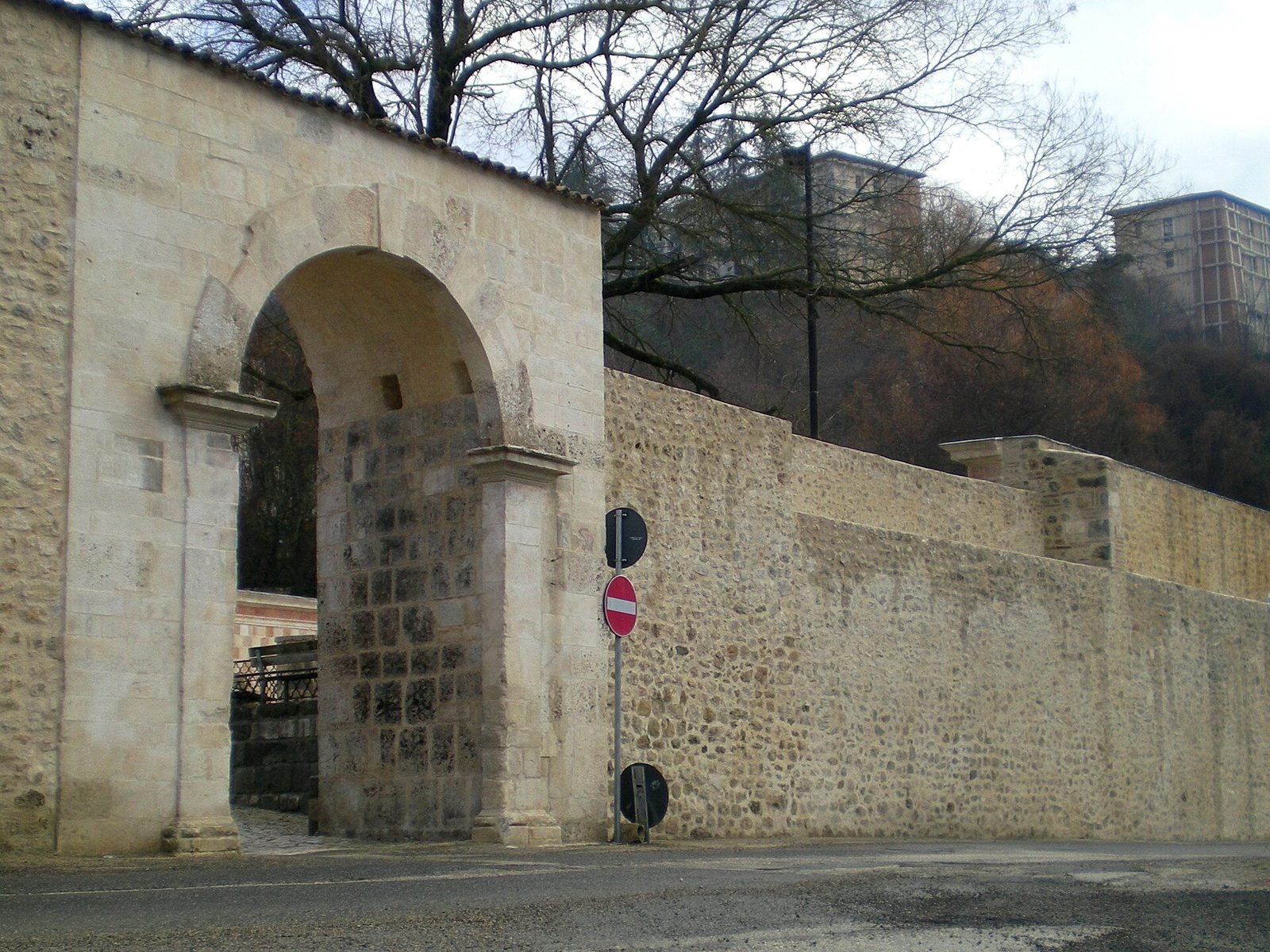
At the end of Viale Francesco Crispi, which continues Corso Vittorio Emanuele, Porta Napoli was originally called Porta San Ferdinando. Its pointed arch is made of grooved stone and framed by shallow vertical projections resembling columns. Two late-Baroque wall sections flank it. The gate was built using salvaged material from the church of San Lorenzo de’ Porcinari, demolished in 1811.
The railway-station gate
The circuit’s last gate stands at the end of Via Filomusi Guelfi, linking the walls with Via XX Settembre near the courthouse. Built in response to the railway station on the Pile plain beside the Aterno River, it is a simple pointed arch faced with stone blocks. At about 622 metres above sea level, it marks the circuit’s lowest point.
Other recorded openings
A gate at the southern end of Via Campo di Fossa served Campo di Fossa and was incorporated into the area as it developed in the twentieth century. Porta Sant’Apollonia, at the southern end of Via delle Bone Novelle, may date to the fourteenth century. It was closed in the eighteenth century, and the Via XX Settembre viaduct later cut it off from the city’s road network. A gate in the Lucoli district, set into a projecting defensive work near Porta Roiana and the Sant’Apollonia ditch, appears on Giacomo Lauro’s 1600 map and was closed after the 1703 earthquake.
Western archaeological traces
The remains of Porta di Poggio Santa Maria were discovered during reconstruction work in 2015. A gate serving the Pile area stands at the southern end of the southwestern branch of Via Sassa and can be seen from Viale XXV Aprile. It was often confused with Porta Barete and was considered closed by the eighteenth century. Porta Pilese stood just south of Porta Barete, at the natural end of Via Sassa, and provided access to the gardens of Margaret of Austria. Its remains are visible on the inner side of the walls. It appears on Fonticulano’s 1575 map, though it may have been included there in error as a duplicate of Porta Romana.
The Spanish Fort
The Spanish Fort forms the northeastern circuit between the former sites of Porta Paganica and Porta Barisciano. The outer edge of its moat serves as the city wall along this stretch. A square central building, about 30 metres high, has four projecting, pointed defensive platforms at its corners, connected to the wall by paired extensions. The fort’s walls are five to ten metres thick and faced externally with travertine, a limestone formed by mineral deposits from springs. A broad moat and an additional surrounding wall follow the line of the city circuit. The white-stone entrance bears the double-headed eagle of the House of Austria. A stone bridge spans the approach, and at about 736 metres above sea level the fort marks the circuit’s highest point.
Civic centre and fountain
Palazzetto dei Nobili
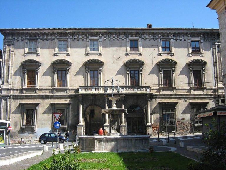
Palazzetto dei Nobili, in Piazza Santa Margherita, stands at the geographical centre of the walled city and served as a centre of civic political power. A low-relief sculpture on a side facade indicates its central position.
Fountain of the 99 Spouts
The Fountain of the 99 Spouts stands within the walls in Borgo Rivera. Built in 1272 by the sculptor Tancredi da Pentima, it has 99 sculpted masks, of which 93 remain. The masks represent the castles whose communities contributed to L’Aquila’s foundation in 1254.