Horvat Midras: An Archaeological Settlement in Israel
Site at a Glance
- Rating
- 4.6
- Popularity
- Medium
- Country
- Israel
- Primary era
- Classical
- External website
- Open
- Eras represented
- Classical, Medieval, Early Modern
- Civilizations
- Abbasid, Ayyubid, Byzantine, Israelite, Mamluk, Ottoman, Roman
- Site type
- City
On this page17 sections
History
Horvat Midras is an archaeological settlement in Israel’s central Judaean Foothills, beside an ancient road linking Jerusalem with the southern coastal plain. Its earliest occupation probably began in the Late Iron Age or Persian period, while securely dated settlement activity belongs to the early Hellenistic period. The site later became one of the largest and most prosperous rural communities in the Judaean Lowlands during the Second Temple period, the era of the Jerusalem Temple from its rebuilding after the Babylonian Exile until its destruction by Rome in 70 CE.
Hellenistic and Early Roman Settlement
Horvat Midras was abandoned for a time after the Hasmonean conquest of Idumaea in the late second century BCE. It was re-established in the first century BCE, probably under Herod the Great, the Roman-supported king of Judaea from 37 to 4 BCE. During the following centuries, the settlement had a Jewish population and expanded across approximately 30 acres.
The community remained occupied during the First Jewish Revolt against Rome, fought from 66 to 73 CE, and continued into the period of the Bar Kokhba Revolt, the Jewish uprising against Roman rule from 132 to 136 CE. Horvat Midras may have been among the settlements destroyed during that revolt. After the Jewish-Roman wars, the site was largely uninhabited for a period.
Roman and Byzantine Transformation
During the second century CE, settlers under Roman authority occupied the area and practiced polytheism. A monumental cultic complex, probably a sanctuary or temple, was established during this phase. A burial cave was cut in the fourth century, although its later history indicates that it was not used for burial. A basilica-shaped building with white mosaic paving was also constructed, probably in connection with the cave.
Horvat Midras became a small Christian village during the fifth and sixth centuries and may also have supported a monastic community. In the sixth century, a church was built within the earlier basilica. It remained in use into the eighth century and continued functioning after the Muslim conquest of the Levant in the 630s. During this period, carved crosses were covered with plaster, while routes leading to the tomb and nearby installations were altered to bypass the sanctuary. These changes may reflect continued Christian use, shared Christian and Muslim occupation, or use by recent converts to Islam.
An earthquake in 749 caused the church to collapse. A modest rural settlement later developed, probably during the late eighth or ninth century, and the earlier complex lost its religious function. Architectural elements from the church and basilica were reused in new buildings. Abbasid-period pottery from the narthex, or entrance hall, confirms the building’s later domestic use.
Medieval and Ottoman Occupation
After several centuries of abandonment, Muslims reoccupied Horvat Midras during the Ayyubid period. Under Ayyubid and Mamluk rule, from the thirteenth to sixteenth centuries, it served as a small agricultural village. Substantial construction and abundant pottery indicate a prosperous rural community. Crops included cereals, olives, figs, almonds, and grapes.
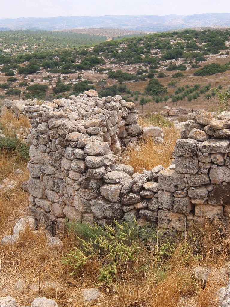
Ottoman tax registers called the settlement Darusiyya. In 1525–1526 it belonged to the Hebron subdistrict, and its inhabitants also cultivated fields at Bayt Hawran. By the 1550s, the settlement had become seasonal rather than permanent. It was described as derelict in 1553–1554, then recorded as inhabited again in 1562–1563 and 1596–1597. By the middle of the sixteenth century, occupation was largely concentrated in reused Roman and Byzantine structures used for herding and small-scale cultivation. The site was later deserted and used mainly as pastureland.
An Ottoman mold for casting lead musket balls was concealed in a roughly built wall belonging to a temporary structure. Its concealment and non-recovery indicate concern about the risks associated with possessing firearms. The mold shows that ammunition was produced locally at Horvat Midras during the late sixteenth or seventeenth century.
Names, Identification, and Archaeological Investigation
The site’s earlier Arabic names included Druseh and Durusiya. Its modern name, Horvat Midras, derives from Khirbet Drūsye. Scholars have connected this name with Drusias, a settlement mentioned by Ptolemy, the second-century CE Greco-Roman geographer and astronomer. Félix-Marie Abel proposed the identification in 1938, and Boaz Zissu and Amos Kloner later developed it. They suggested that the name may have been given under Herod in honor of Drusus, the adopted son of Augustus. Another proposal derives Drousia from a Greek term for an oak tree combined with a common place-name ending, reflecting the oak-rich Judaean Lowlands. The association with Ben Drusai, a figure mentioned in the Talmud, remains disputed.
Early investigations included Victor Guérin’s survey in 1868 and surveys by the Palestine Exploration Fund in the 1880s. Claude Reignier Conder and Herbert Kitchener recorded stone heaps, foundations, a ruined pool, and caves. Levi Rahmani surveyed the site in 1958–1959. From the 1970s to the early 1990s, Amos Kloner and Amos Frumkin investigated burial caves and underground installations, often in response to antiquities looting.
A 1981 survey identified 56 caves and underground systems beneath the settlement. The Israel Antiquities Authority excavated at Horvat Midras in 2010–2011 after illegal digging. A renewed Hebrew University of Jerusalem expedition surveyed the site in 2015 and 2016 and carried out four excavation seasons between 2016 and 2022. The work examined the settlement’s monumental architecture, elite identity, funerary practices, and underground hiding complexes.
Remains
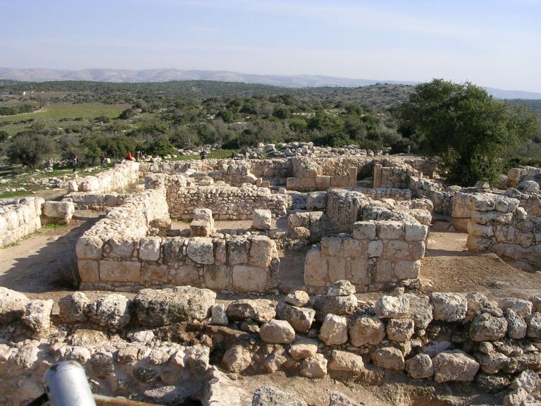
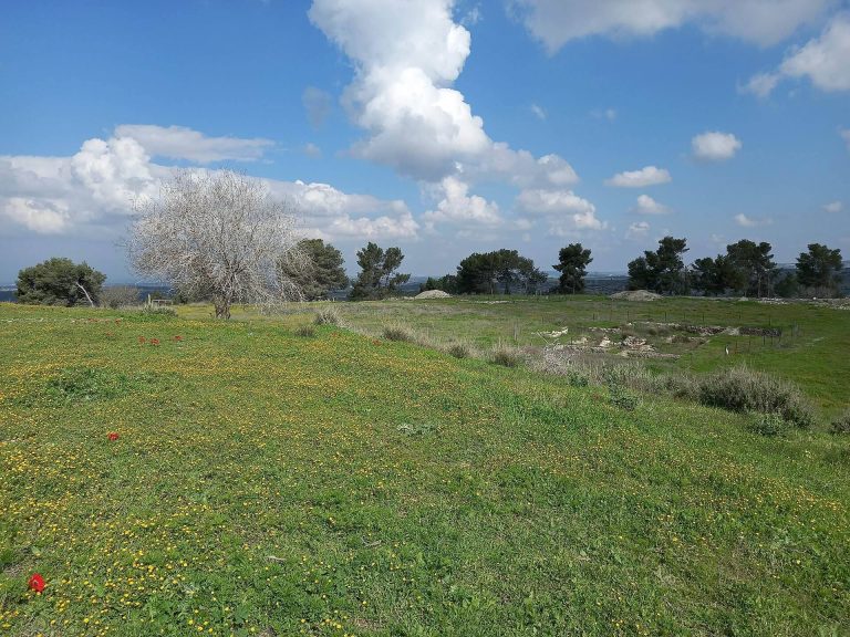
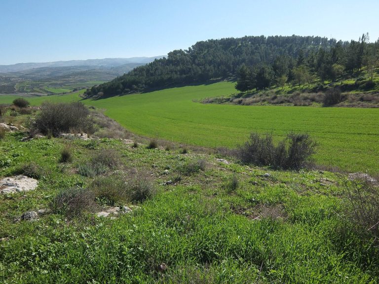
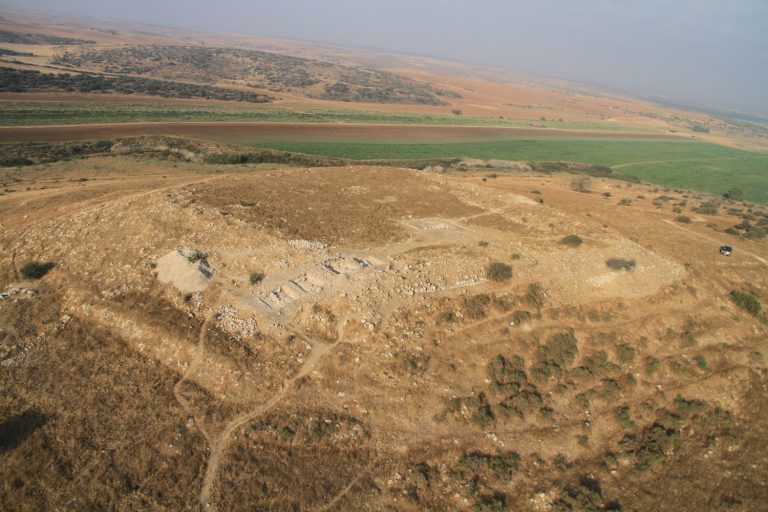
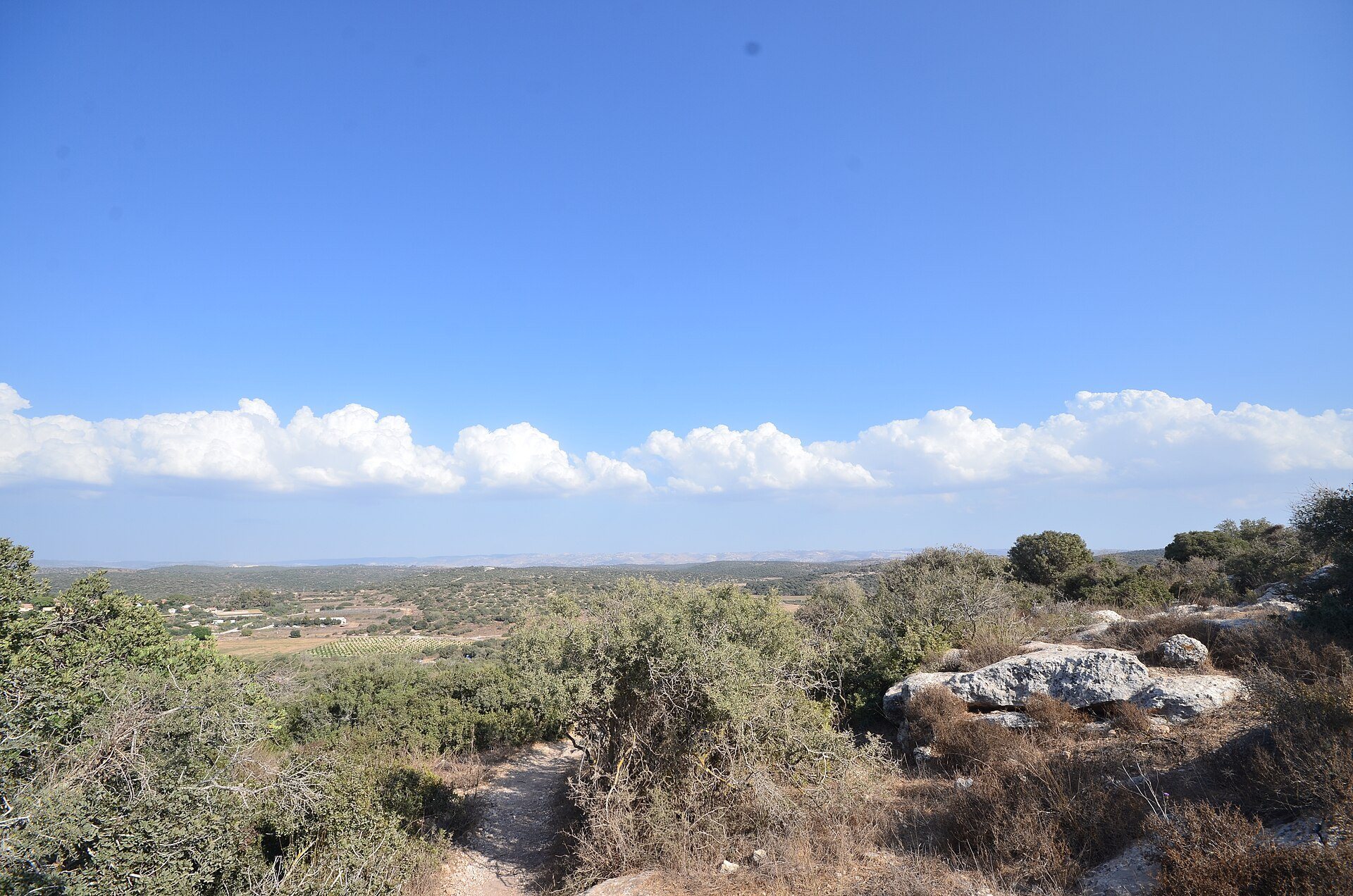
Horvat Midras occupies the slope of a spur at approximately 333 metres above sea level, with Nahal Hakhlil immediately to the north. The settlement lies in a fertile part of the central Shephelah, or Judaean Lowlands. Its surviving remains include domestic ruins, burial complexes, underground installations, hiding systems, bell-shaped caves, rock-cut columbaria, agricultural features, and later rural buildings. The settlement reached its greatest extent during the Hellenistic and Early Roman periods.
Monumental and Funerary Remains
The Pyramid Tomb
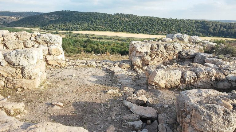
At the hill’s summit stands a monumental funerary structure called a nefesh, a memorial monument erected above or beside a burial complex. It consists of a square podium made from dressed ashlar blocks, founded directly on bedrock and measuring approximately 10 by 10 metres. A stepped stone pyramid originally crowned the podium, giving the monument an estimated total height of about seven metres. Known in Arabic as Al-Muntar, meaning “the lookout,” the structure has lost several upper courses.
The pyramid was associated with a nearby rock-cut burial complex and occupied a position visible from all directions, including the ancient road and locations up to approximately 6.25 kilometres away. Its scale and public visibility indicate the status of a wealthy family, possibly one whose influence grew through connections with the Herodian dynasty. It is a rare rural example of a publicly visible display tomb.
Second Temple-Period Tombs
At least 15 rock-cut tombs were excavated around the settlement, most dating from the Second Temple period. Numerous ossuaries, stone containers for human bones, reflect Jewish secondary burial practices also found in Jerusalem and elsewhere in Judaea. One elaborate complex has a vaulted entrance chamber with plastered and painted walls. It leads to an inner chamber with kokhim, narrow rock-cut burial niches, and another chamber containing arcosolia, recessed shelf-like burial spaces.
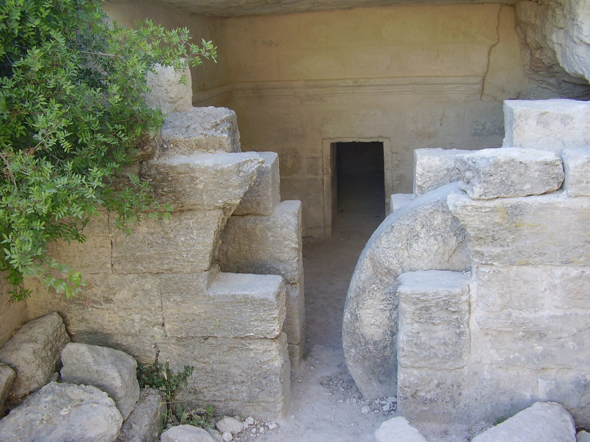
Stone ossuaries were placed in the arcosolia. One ossuary and a limestone sarcophagus survived intact in their original positions, while other ossuaries were found broken. Pottery from the complex dates from the late Second Temple period and the Bar Kokhba Revolt. A separate elaborate tomb west of the ancient settlement has a square courtyard and a rolling-stone entrance leading to two chambers with burial niches. It was used from the beginning of the first century CE until the Bar Kokhba Revolt and was later adapted from private village cisterns and cellars into a hiding system.
Byzantine Burial Cave
A Byzantine-period burial cave south of the monumental Second Temple-period tomb contains three arcosolia decorated with red-painted crosses and Greek inscriptions. The inscriptions include a Christogram, a monogram representing Jesus Christ, and the Alpha-and-Omega symbols, the first and last letters of the Greek alphabet and a Christian symbol of beginning and end.
Underground Systems and Agricultural Installations
Hiding Complexes
At least 56 chambers and underground systems were cut into the chalk bedrock beneath Horvat Midras, including cisterns, storage chambers, quarries, columbaria, and hiding complexes. Four systems were examined in detail. Their arrangements and contents resemble underground systems beneath other Jewish settlements in the Judaean Lowlands and preserve evidence of occupation during the first and early second centuries CE.
System 6 links three ancient pits through crawlspaces. Two of the pits were originally water cisterns. System 30 likewise began as a group of cisterns before being adapted as hiding places. It contains a storage chamber supported by two pillars and two small rooms reached through a sloping tunnel. System 31 connects several cisterns through a winding passage and includes two mikva’ot, Jewish ritual baths used for purification.
System 20
System 20 extends for more than 100 metres. It contains a columbarium, a chamber fitted with niches for keeping pigeons, two storerooms, and two mikva’ot joined by tunnels and small hiding chambers. One mikveh probably served residents of the building above it. Later hiding tunnels were cut through its walls and the bath was sealed.
Pottery from the underground systems includes storage jars, cooking pots, a stone cup handle, and a ridged oil lamp. Coins include a second-year prutah of the First Jewish Revolt, dated 67–68 CE, together with coins of Vespasian and Domitian. A silver pendant depicting a woman with a horned crown probably represented the Egyptian goddess Isis. Its deliberate defacement accords with the Jewish treatment of pagan images.
Later Agricultural Features
The site also contains rock-cut bell-shaped caves, agricultural installations, and a columbarium dating broadly to the Byzantine or Early Islamic period. Mamluk remains include substantial architectural construction and abundant ceramics. Ottoman-period features include sheep pens, makeshift shelters, reused ancient buildings, and pottery associated with transient rural occupation.
Basilica and Church Complex
Early Basilica
A fourth-century basilica-shaped building had white mosaic paving and was probably connected with the nearby burial cave. Its precise function remains uncertain because the apse area was not fully excavated. The structure was later incorporated into the Byzantine ecclesiastical complex.
Sixth-Century Church
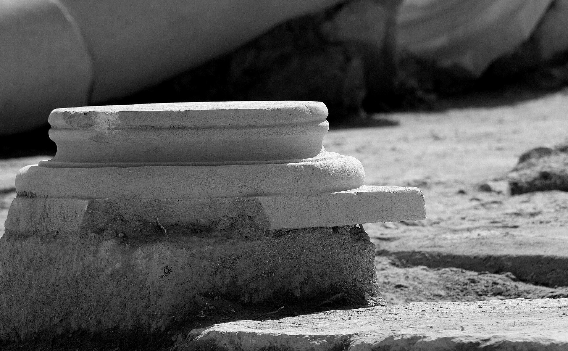
The sixth-century church had a central nave and two side aisles divided by two parallel rows of four imported light-gray marble columns with Corinthian capitals. Colorful mosaics covered the floors. Animal motifs decorated the nave and apse, while the aisles carried geometric designs made from stones of different colors.
The church ended in a rounded apse flanked by two rooms. The southern room had a gray marble floor, and the northern room had a plain mosaic. The imported marble and high-quality mosaics indicate substantial patronage, possibly from the bishop of Eleutheropolis or someone connected with his office. A tomb beneath the church and a chamber south of the apse, perhaps used for relics, suggest a design intended to attract pilgrims.
After the church collapsed in the earthquake of 749, its architectural elements were reused in the rural settlement that developed around the ruins. Domestic pottery from the Abbasid period in the entrance hall reflects the building’s transformation from a religious complex into part of a later rural community.