Gėluva Hillfort: A Fortified Stronghold in Lithuania
Site at a Glance
- Rating
- 4.6
- Popularity
- Very Low
- Country
- Lithuania
- Primary era
- Medieval
- External website
- Open
- Eras represented
- Medieval
- Civilizations
- Grand Duchy of Lithuania
- Site type
- Military
- Remains
- Fort
On this page10 sections
History
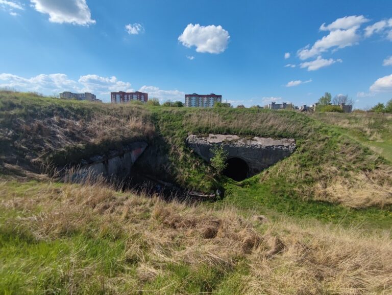
Gėluva hillfort is a fortified stronghold in Lithuania, near Ariogala in Gėluva village, Raseiniai District, above the left bank of the Dubysa. The earthwork is believed to have supported a wooden Ariogala Castle and formed part of a settlement whose traces extend beyond the fortifications.
The medieval castle
The hillfort is traditionally identified with the site of a wooden castle at Ariogala. In 1382, during the struggle for power between Jogaila and Kęstutis, the Teutonic Knights, a German military-religious order active in the medieval Baltic region, are believed to have burned the castle. This event places Gėluva within the political and military conflicts that shaped medieval Lithuania.
Archaeological investigation and protection
Liudvikas Kšivickis described the hillfort in 1906. Later exploratory investigations took place in 1961, 1980, and 1991 through work by Lithuanian archaeological and heritage institutions. Further examination followed in 1996, including the eroded area at the southwestern foot of the hillfort.
The hillfort became a protected cultural monument through a Lithuanian Government resolution of 19 May 1998. Its protected territory covers 92,000 square metres. Nearby cemeteries and excavations have also expanded understanding of how the hillfort was used and how the surrounding area developed over many centuries.
Birutė’s Hill in local tradition
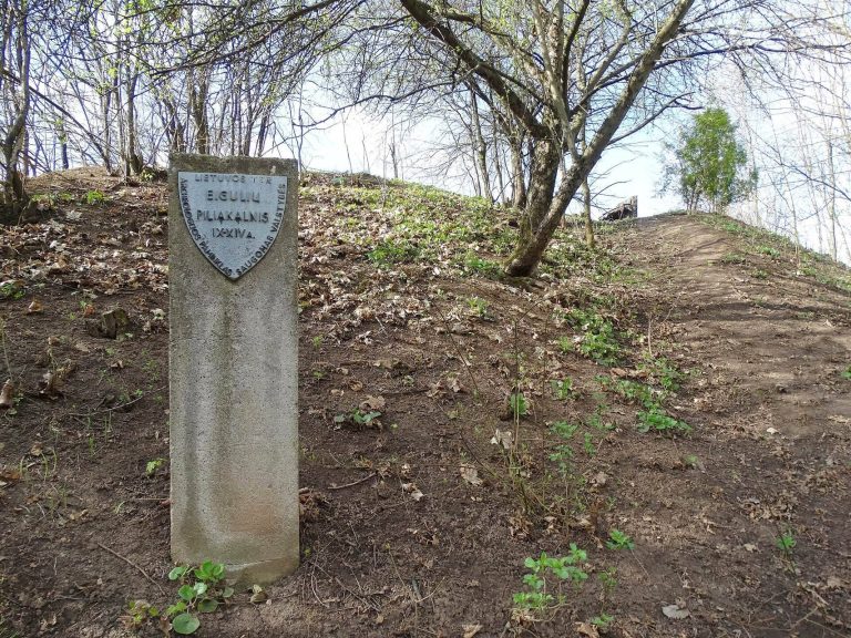
The alternative name Birutkalnis, or Birutė’s Hill, is connected with a local legend set in pagan times. It tells of Birutė, a blonde attendant of a sacred fire, who was abducted by the warrior Darbutas. Perkūnas, a Baltic thunder deity associated with lightning and storms, struck Birutė, and she disappeared into the ground beside the hill. The tradition links a spring at that place with her disappearance and says that Darbutas was later burned at the stake as punishment.
Remains
Earthworks and hillfort platform
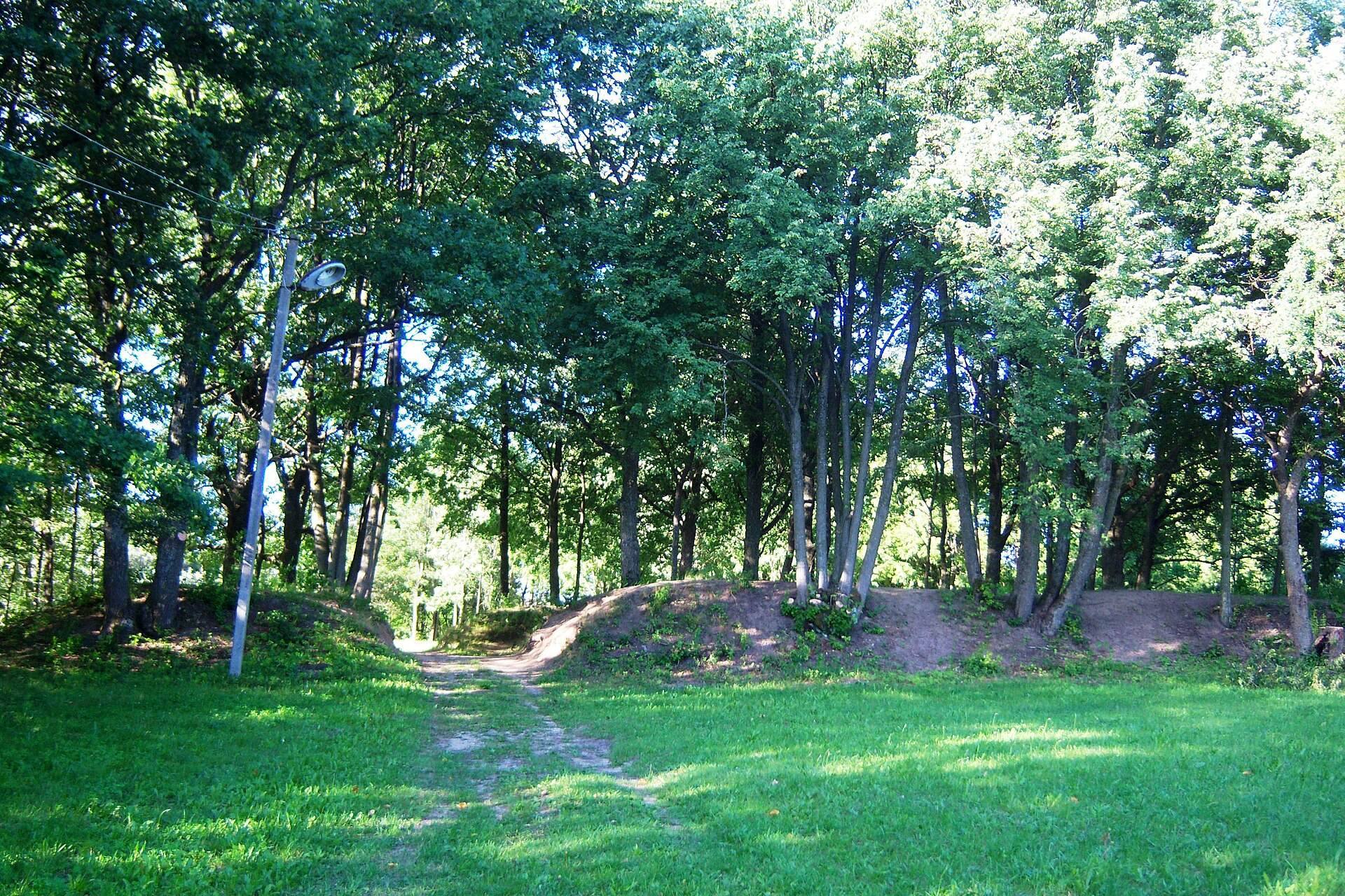
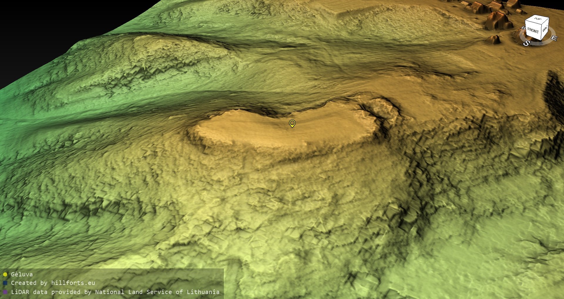
Gėluva hillfort occupies a projecting spur above the Dubysa valley. The valley borders it to the south and southwest, while hollows lie to the northwest and southeast. Higher ground continues to the northeast, where the approach was strengthened with two straight embankments. Each is about 40 metres long and approximately 2 metres high. A ditch between them reaches about 4 metres in depth and up to 16 metres in width at the top. A 6.5-metre-wide opening through the embankments formed the entrance to the hillfort platform.
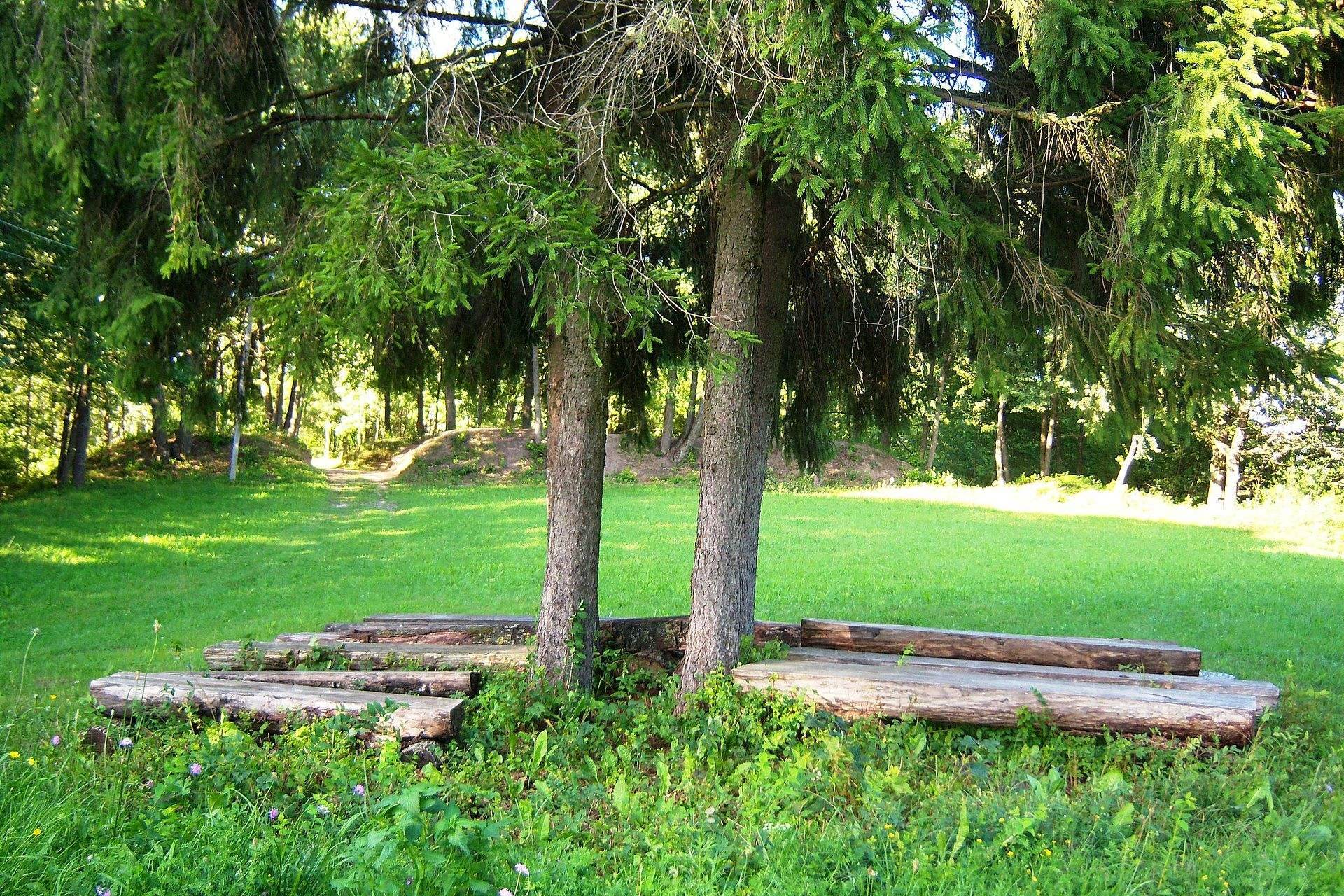
The platform has an irregular trapezoidal outline. It measures about 80 metres in length, narrowing from roughly 30 metres at the northeastern end to about 20 metres at the southwestern end. The steep slopes toward the valley and surrounding hollows were reinforced in their upper sections, which rise 3 to 5 metres above the natural ground. On the southeastern side, the Gėluva stream runs through the hollow, where ponds have been created.
Settlement and burial areas
Settlement traces
Beyond the northeastern embankments, traces of a cultural layer mark the position of an associated settlement. Its location outside the main earthworks indicates that the hillfort formed part of a wider occupied area rather than standing as an isolated structure.
Southwestern cemetery
A cemetery is believed to have occupied the southwestern foot of the hillfort. In 1996, examination of an eroded area measuring 10 by 4 metres uncovered a woman’s grave. The burial contained a bronze brooch with a bent foot, a bronze strip ring, and an iron knife. These objects date the grave to the third to fifth centuries.
Cemetery on the neighboring hill
About 400 metres southeast of the hillfort, a higher neighboring hill contains a former cemetery dating from the tenth to the seventeenth centuries and possibly including several barrows. Excavations in the area of a former Calvinist meeting house and beside it uncovered 370 graves from the sixteenth and seventeenth centuries, three disturbed inhumation graves from the fifth or sixth centuries, and several isolated burials. The cemetery area was altered by sixteenth-century construction, later burials, and cultivation. Finds from third- and fourth-century graves and from ninth- to twelfth-century graves entered museums in 1936.