Burgstall Altes Schloss (Düsselbach): A Medieval Hilltop Castle in Germany
Site at a Glance
- Rating
- 3.8
- Popularity
- Very Low
- Country
- Germany
- Primary era
- Medieval
- Eras represented
- Medieval
- Civilizations
- Holy Roman Empire
- Site type
- Military
- Remains
- Castle
On this page8 sections
History
Origins and Possible Use
Burgstall Altes Schloss (Düsselbach) is the remains of a probably high-medieval noble hilltop castle in Germany, west of Düsselbach in the municipality of Vorra, Bavaria. Ceramic fragments place the relatively small castle in the thirteenth century, although Walter Heinz proposed an earlier origin in the eleventh or twelfth century. The construction date, builder, and original name remain unknown.
The castle may have been connected with the ministerials of Alfalter, members of the medieval German service nobility who performed military, administrative, or court duties for more powerful lords. The Alfalter family belonged to the service retinue of the Reichenecker family and is recorded between 1362 and 1433. This proposed association remains uncertain.
Its position may have allowed it to monitor a crossroads of two historic ridge roads. One route ran from Hersbruck through Großviehberg and Hohenstein toward Betzenstein, while another linked Kirchensittenbach with Düsselbach. The castle’s compact form and hilltop position are consistent with a small noble settlement connected to this route network.
Abandonment and Later Record
The reason for the castle’s abandonment is unknown. It may have been given up after the Lords of Alfalter died out or moved elsewhere, or it may have been destroyed during a military conflict. No single explanation has been established.
The first recorded reference to a castle at the site dates from 1596. On a map, the Nuremberg cartographer Paul Pfinzing marked the location as “By the old castle-stone hill.” By that time, the place was remembered through its ruins rather than as an occupied castle.
Remains
Rocky Plateau and Enclosure
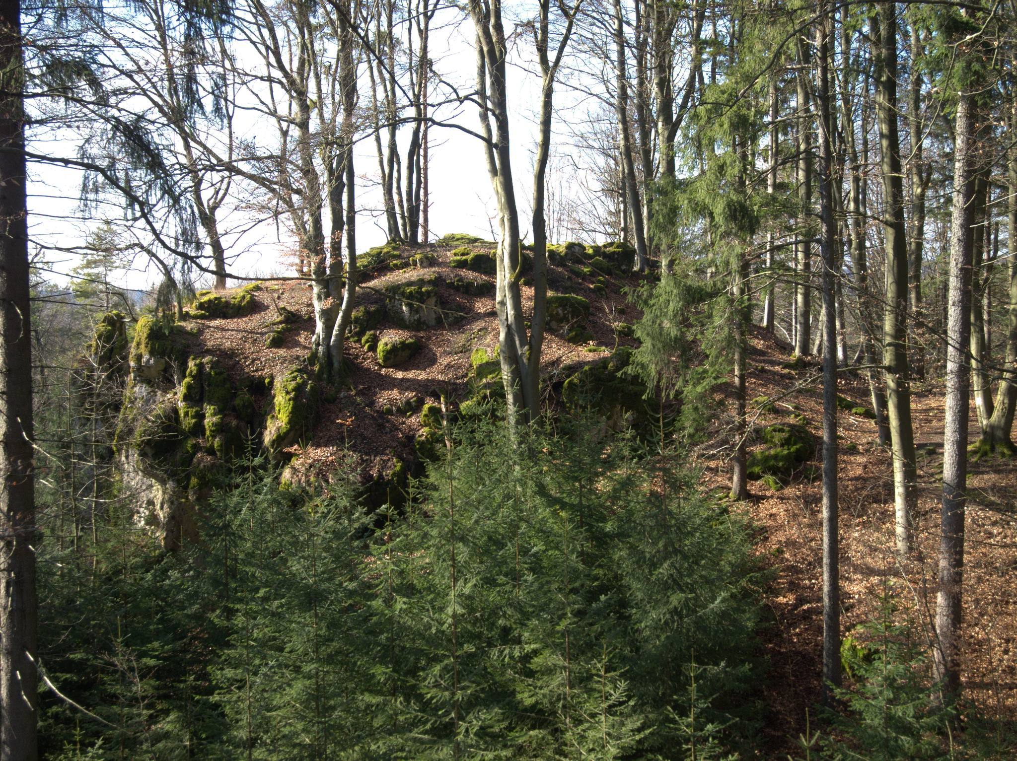
The castle occupied the plateau of the southern of two rocky outcrops on a north-south ridge at about 567 metres above sea level. The ridge lies between the Pegnitz valley to the east and the Sittenbach valley to the west, in the southern part of the Franconian Switzerland-Franconian Jura Nature Park. The enclosed plateau measures approximately 24 by 12 metres and forms a compact, single-part hilltop castle without a bailey, an additional enclosed area outside the principal core. This arrangement may indicate an early date.
A curtain wall, an enclosing defensive wall, surrounded the plateau. The ground falls almost vertically by about 4 to 10 metres on the west and south sides, while the north and east sides descend more gradually for roughly 4 metres. On the west, a final wall remnant survives in a rock fissure as two courses of four ashlar blocks each. Foundation remains occur on the east, and the northern wall survives as a visible slope edge. Mortar, brick, and ceramic fragments are visible in the northern and eastern parts of the site. A slight hollow at the northern and eastern foot of the plateau may mark a former ditch.
Buildings and Entrance
Northern Building
A building probably occupied the levelled northern part of the enclosure. It measured about 10 by 5 metres, with the curtain wall forming its northern, western, and eastern sides. Its southern side was probably a cross-wall joining the eastern and western sections of the enclosure wall and marking the transition to a castle courtyard. The probable entrance lay at the northern end of the plateau and led through this building.
Southern Building
Another building probably stood in the southern part of the enclosure. The ground between the northern and southern areas is rocky, and no visible construction traces survive there. Together, the probable buildings and the enclosing wall indicate a tightly confined castle plan adapted to the small natural plateau.