Stalo Kalnas: An Archaeological Hillfort in Vilnius, Lithuania
Site at a Glance
- Rating
- 4.7
- Popularity
- Low
- Country
- Lithuania
- Primary era
- Medieval
- Eras represented
- Medieval, Modern
- Civilizations
- Grand Duchy of Lithuania, Russian
- Site type
- Military
- Remains
- Fort
On this page8 sections
History
Stalo Kalnas is an archaeological hillfort in Vilnius, Lithuania, associated with the medieval fortified settlement known as Crooked Castle or the Crooked City. Historical sources refer to this place as Curvum castrum, meaning “Crooked Castle.” A prevailing scholarly hypothesis places Crooked Castle in this area and interprets Stalo Kalnas as a defensive position within the settlement.
Medieval Crooked Castle
During the period associated with Crooked Castle, Stalo Kalnas had a substantially different form from the one visible today. The hill was at least 2 to 4.5 metres higher, and ravines cut through its platform and slopes. A ravine as much as 45 metres wide ran east to west across the present central platform, separating elevated southern and northern areas. This earlier landscape formed part of the defensive setting of the settlement.
The 1831 Fortress Works
The hill underwent major reshaping in 1831, when a tsarist fortress was constructed in Vilnius. Military plans retained Crooked Hill as the dominant elevation and proposed lowering the other heights, including those on Stalo Kalnas. The earthworks were intended to defend the outer approaches from Antakalnis and Užupis and to protect the principal elevations within the castle-city area if an enemy entered it. The present platform was formed by cutting down separate rises and filling the intervening depressions with soil.
The Soviet Period
A second major transformation began in 1955, when work started on the Song Valley open-air stage. Bulldozers levelled the summit and pushed the valuable cultural layer toward the edges of the platform. The altered hill remained within Kalnų Park and is now an archaeological monument in the Vilnius Castles Cultural Reserve.
According to football historian Gediminas Kalinauskas, Vilnius’s first football match took place on Stalo Kalnas.
Remains
Hillfort Platform and Ridge
Stalo Kalnas occupies a separate hill with an absolute elevation of 164.6 metres. It lies 600 metres east of Castle Hill and 50 metres east of Crooked Hill, with steep slopes rising 20 to 35 metres. The hillfort platform is an irregular, somewhat elongated quadrilateral, approximately 150 by 110 metres, with a generally north-south orientation. A ridge about 130 metres long and 10 metres wide at its top extends northwest from the platform.
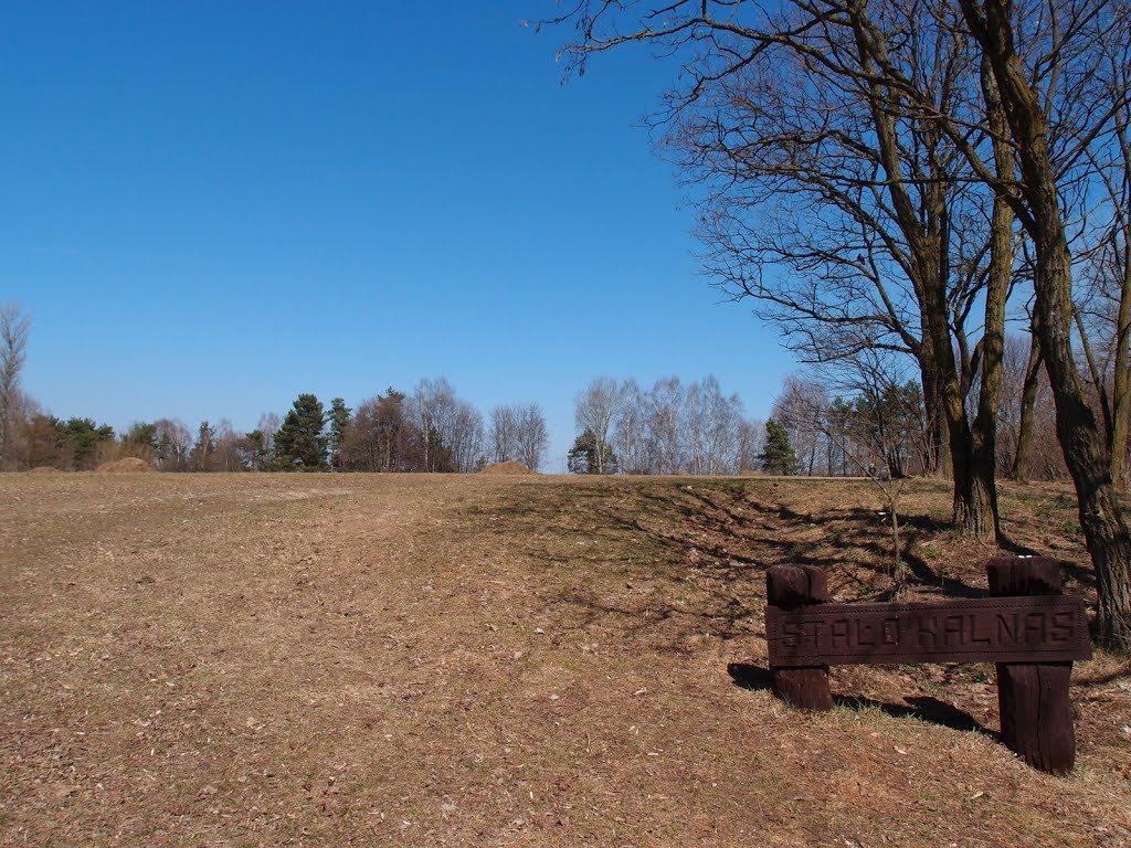
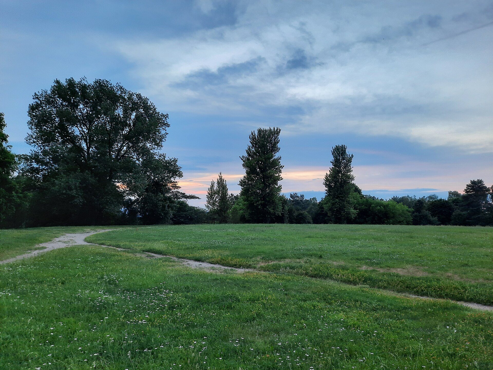
The platform now covers 1.4 hectares and is flat as a result of the later earthworks and the bulldozing carried out in 1955. Grassland covers most of the summit, while deciduous trees occupy the slopes. A dirt road approaches from the northeast. Plans of Vilnius from the late eighteenth and early nineteenth centuries preserve the earlier relief, including the separate elevations and ravines that were later cut down or filled.
Platform Archaeology
Pits had disturbed parts of the platform, but archaeological investigations along its western and southern edges in 1995 exposed a cultural layer up to 1.8 metres thick. A cultural layer is an accumulated archaeological deposit formed by human occupation, including soil, building remains, artefacts, and settlement debris. The excavated material included a fragment of a bronze ring and wheel-thrown pottery.
Foothill Settlement
A seven-hectare foothill settlement extends north of Crooked Hill, in the valley between Crooked Hill and Stalo Kalnas, and to the south of the hills. A foothill settlement is a community located at the foot of an elevated site. Investigations carried out in 1933, 1939, 1956, 1989, 1995, and 1997 revealed burned buildings from the fourteenth century. Finds included iron knives, keys, arrowheads, a spearhead, a spur, scissors, a lock, wheel-thrown pottery, animal bones, slag, and grains.