Kaukai Hillfort: A Fortified Settlement in Lithuania
Site at a Glance
- Rating
- 4.7
- Popularity
- Very Low
- Country
- Lithuania
- Primary era
- Medieval
- External website
- Open
- Eras represented
- Classical, Medieval
- Civilizations
- Unclassified
- Site type
- Military
- Remains
- Fort
On this page13 sections
History
Kaukai Hillfort is a fortified settlement in Lithuania, occupied from the fifth to the eleventh century. It formed part of the Kaukai and Obelytė hillfort complex, which existed from the beginning of the first millennium until the eleventh century beside the Peršėkė River. The stronghold was probably destroyed during a military campaign by the princes of Kievan Rus, a medieval East Slavic polity centred on Kyiv, against the Yotvingians, a Baltic-speaking tribal population of the southeastern Baltic region.
Occupation and destruction
The archaeological sequence shows at least two principal periods of occupation. The earlier phase dates from the fifth to the ninth century, while a later phase belongs to the tenth and eleventh centuries. During the final period, the hillfort included fortifications, dwellings, working areas, and domestic activity. Its destruction was violent. A small wooden stronghold burned during an assault, and the quantity of arrowheads recovered from the site indicates intensive bow fire.
Archaeological investigation
Archaeologists from Vilnius University investigated Kaukai Hillfort in 1967–1969 under the direction of Pranas Kulikauskas, a Lithuanian archaeologist known for studying hillforts and other archaeological sites. The work examined 250 square metres in the western part of the plateau and cut through part of the southern rampart and slope. It identified the two principal archaeological layers that define the site’s earlier and later occupation.
Kaukai Hillfort was designated a cultural monument by a resolution of the Government of the Republic of Lithuania dated 19 May 1998. The protected territory covers 45,000 square metres.
Remains
Hillfort and surrounding settlement
Kaukai Hillfort
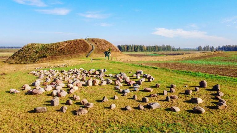
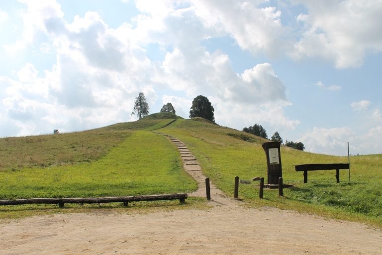
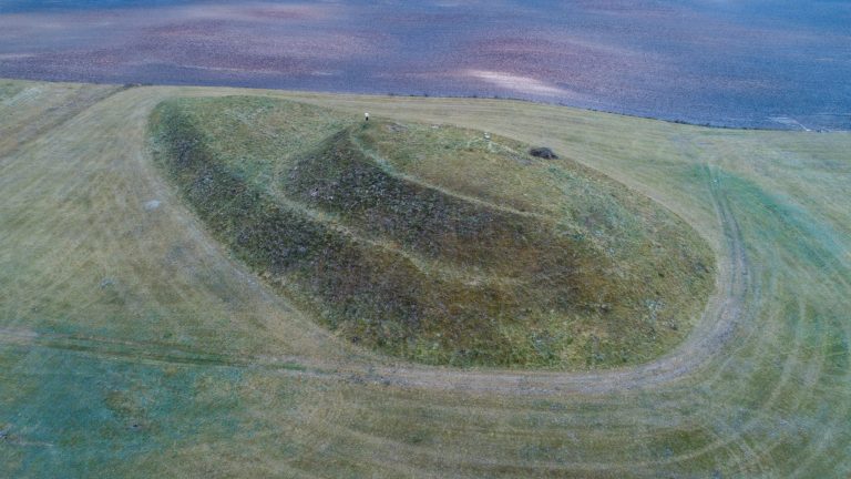
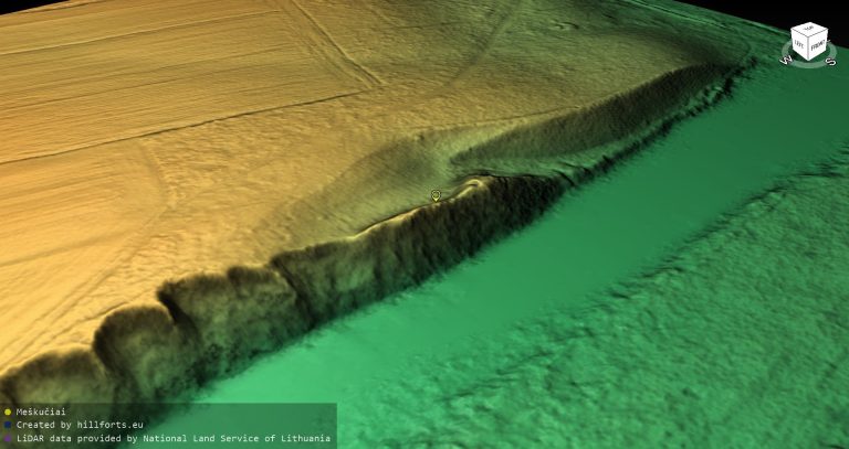
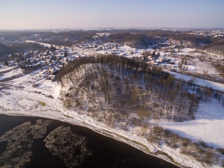
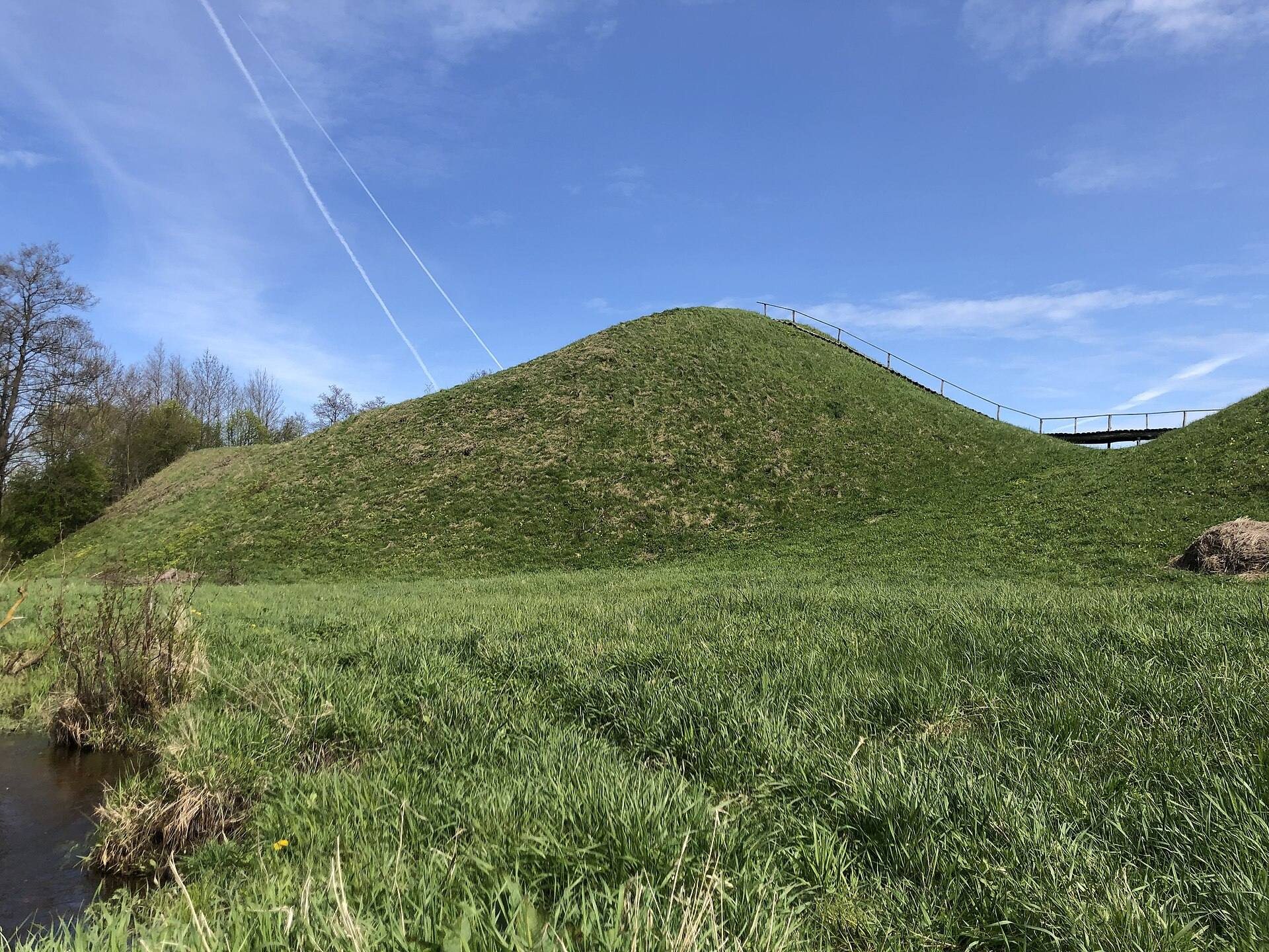
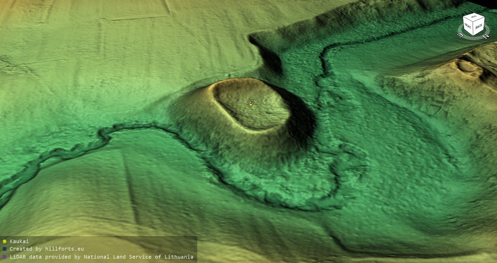
The hillfort occupies elevated ground in a bend of the left bank of the Peršėkė River near Kaukai I village in Alytus District. Its steep slopes rise 8–9 metres. The oval plateau measures 27 by 17 metres and is enclosed by an earthwork rampart, a defensive bank made from raised soil. The rampart is 1–5 metres high and 4–14 metres wide. On the southern side, a ditch is 12 metres wide and 1.5 metres deep. The grass-covered hillfort is approached from the south by stairs.
Obelytė Hillfort
Obelytė Hillfort stands on the opposite, right bank of the Peršėkė. It formed another part of the defensive complex with Kaukai Hillfort, linking the two elevated positions within the same fortified landscape.
Ancient settlement
An ancient settlement extended around the hillfort. Its cultural layer, the accumulated archaeological deposit formed by human occupation, covered 5.5 hectares south and southeast of the hillfort and a further hectare to the east on the right bank of the Peršėkė. Pottery with rough and smooth surfaces was found in this settlement area.
Layers and archaeological finds
Earlier occupation layer
The cultural layer on the plateau reaches about 1 metre in thickness at the edges and approximately 0.5 metres in the centre. The lower layer, dated to the fifth through ninth centuries, contained rough-surfaced pottery and artefacts, providing evidence of the hillfort’s earlier occupation.
Later occupation layer
The tenth- and eleventh-century layer contained remains of fortifications and dwellings, utility pits, hearths, and postholes. It also produced hand-built and wheel-thrown pottery with rough, pinched, and smooth surfaces, together with animal and human bones and charred legume seeds. These remains reveal domestic activity within the fortified settlement.
Objects and paved edge
Approximately 500 metal artefacts were recovered, including rings, brooches, bracelets, pins, beads, and temple rings, as well as tools, household objects, weapons, and 83 spindle whorls. A spindle whorl is a weighted object used to help spin fibre into thread. Along the plateau edges, archaeologists found a pavement made from five or six layers of stones. The finds are preserved at the Lithuanian National Museum.
Ramparts and assault evidence
Three construction phases were identified in the rampart. The first used stones and logs. It was later raised with a 2-metre layer of rammed clay reinforced with logs and topped by a wooden palisade, a defensive barrier made from upright stakes or logs. After the palisade burned, the rampart was rebuilt with a further 3-metre layer of rammed clay strengthened by logs.
The final wooden stronghold burned during an assault. The discovery of 126 arrowheads of various forms, including some that had penetrated the rampart, provides direct evidence of the attack that ended the site’s occupation.