Osamezuka Kofun: A Fifth-Century Burial Mound in Sakai, Japan
Site at a Glance
- Rating
- 3.5
- Popularity
- Very Low
- Country
- Japan
- Primary era
- Classical
- External website
- Open
- Eras represented
- Classical
- Civilizations
- Yamato
- Site type
- Burial
- Remains
- Burial Mound
On this page12 sections
History
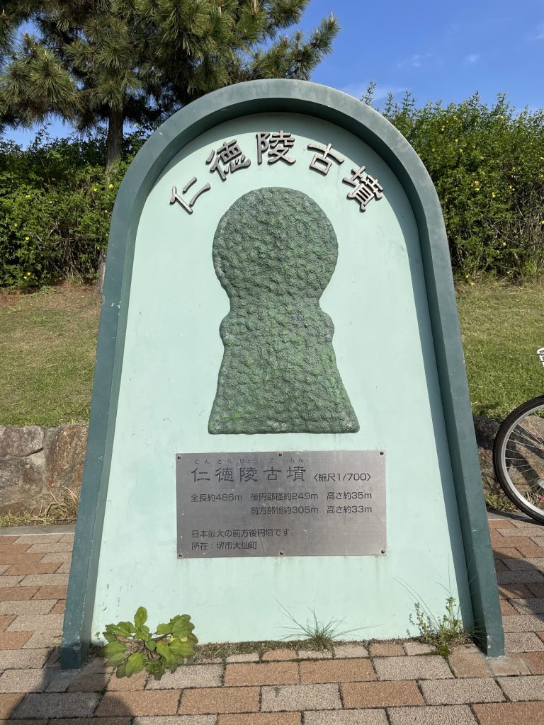
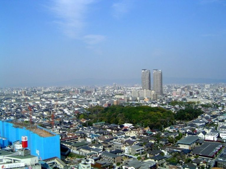
Osamezuka Kofun is a Japanese burial mound in Sakai, Osaka, built around the middle of the fifth century during the Kofun period. It belongs to the Mozu Kofun Group and lies near the southeastern corner of Daisenryo Kofun, traditionally identified as the tomb of Emperor Nintoku. Its position and parallel alignment with Daisenryo Kofun’s outer moat have led it to be regarded as a satellite mound associated with that monument.
Construction and original form
A kofun is a Japanese burial mound, especially one built between about the third and seventh centuries. Many large examples have a keyhole plan, combining a circular rear section with a projecting front section. Osamezuka Kofun belongs to a shorter-fronted variant known as a scallop-shell-shaped keyhole mound. Artifacts recovered from the site place its construction around the middle of the fifth century.
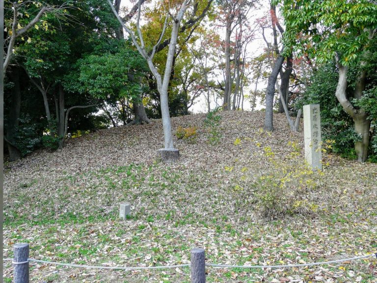
The mound was long treated as circular because its projecting front section had been levelled and its moat filled. It was officially designated as a circular mound in 1958, when it was described as approximately 40 meters across and 4.5 meters high. Investigations beginning in 1989 established that the surviving monument represented a different plan, with a short front section directed westward.
Medieval alteration and later land use
The surrounding ground changed substantially after the mound’s construction. Excavations identified medieval features within the moat, while parts of the surrounding raised ground had been turned into agricultural land during the twelfth or thirteenth century. From the fifteenth century onward, the area may have been reconstructed and the moat reorganized. Later cultivation also reduced the upper parts of the moat slopes.
Medieval pottery and other wares were found in the moat deposits. A Chinese Longquan-type celadon bowl from clay inside the outer raised ground dates to the fifteenth century, as does a Bizen grinding bowl. These finds connect the later history of the mound with agricultural and other activity around the monument.
Archaeological investigation and protection
Excavations in 2006 and 2007, further work in 2008, and ground-penetrating radar and other non-destructive surveys in 2008 and 2009 clarified the mound’s plan, moat, and buried remains. The 2008 work examined the north side of the rear mound, the southern constriction between the mound sections, and the rear mound itself. The northern trench confirmed the outer edge of the moat, while the southern trench established its full width at the constriction.
The levelled front section was covered with asphalt, making conventional excavation difficult. A 2009 non-destructive survey nevertheless indicated a shield-shaped moat around that section and a possible continuation of a ditch-like depression beyond the moat on the western side. Radar also suggested a possible terrace around the rear mound and cut features near its summit. Their precise archaeological meaning remains uncertain, with possible interpretations including a shaft-type burial chamber or later disturbance.
Osamezuka Kofun received National Historic Site protection in 1958 as part of the rear mound. In 2014 it became one of the 19 mounds included in the unified National Historic Site designation of the Mozu Kofun Group. Excavated areas and finds were generally reburied after they had been examined and recorded, and the ground was restored.
Remains
Mound and moat
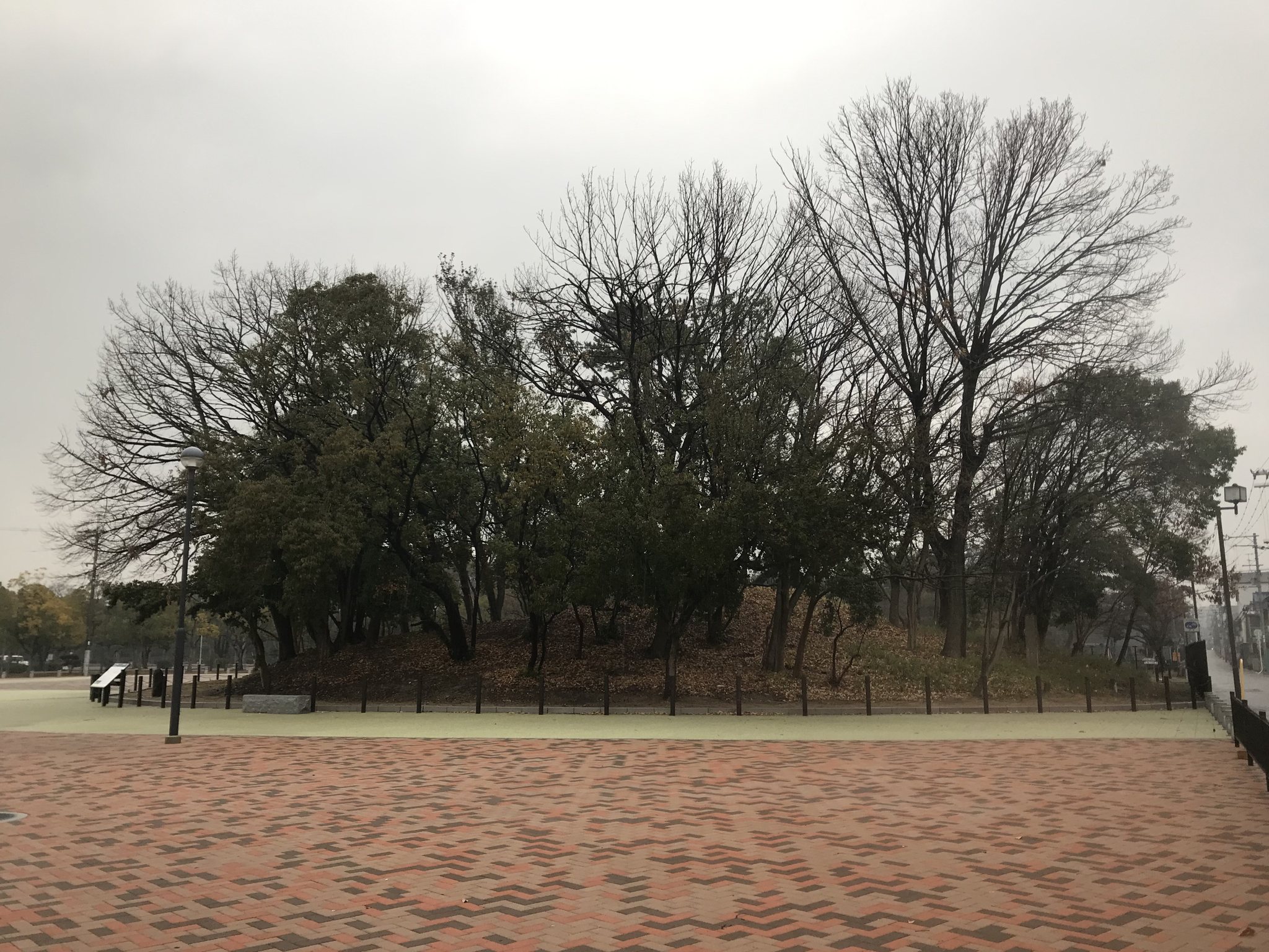
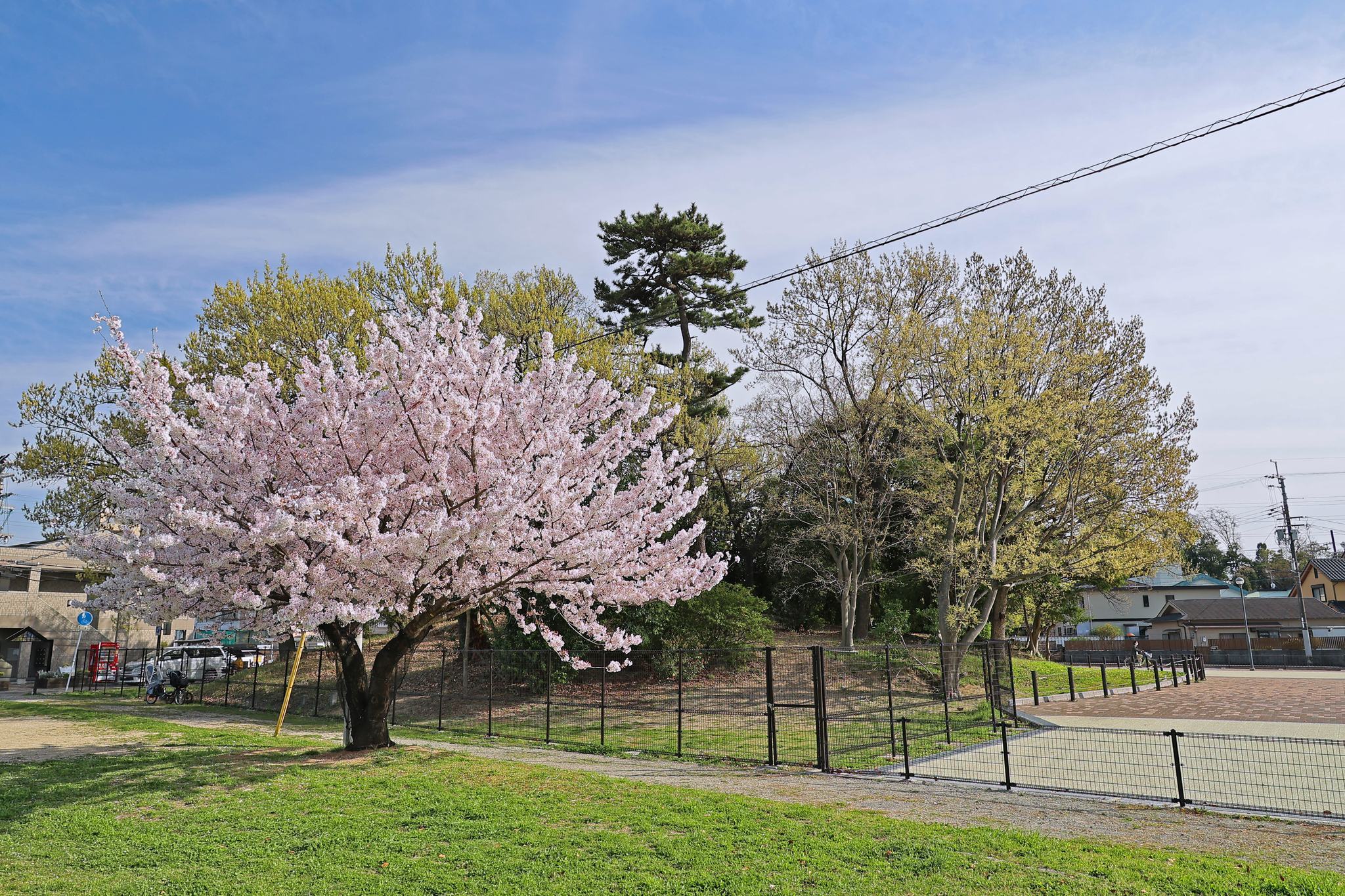
Scallop-shell-shaped mound
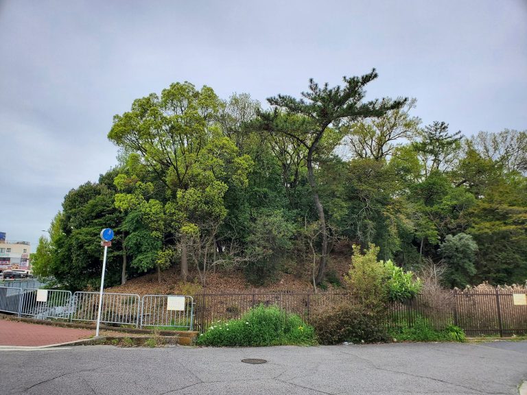
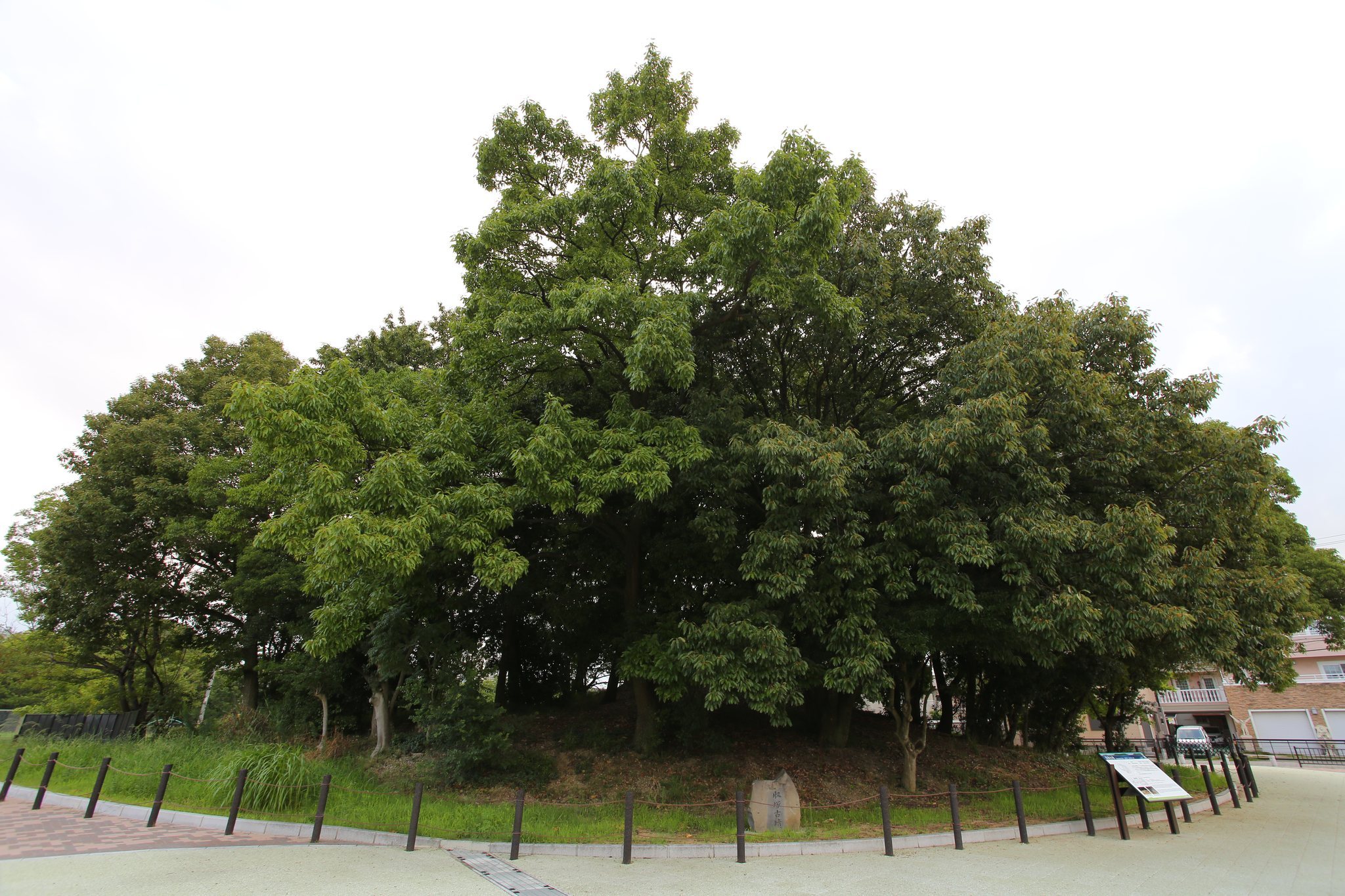
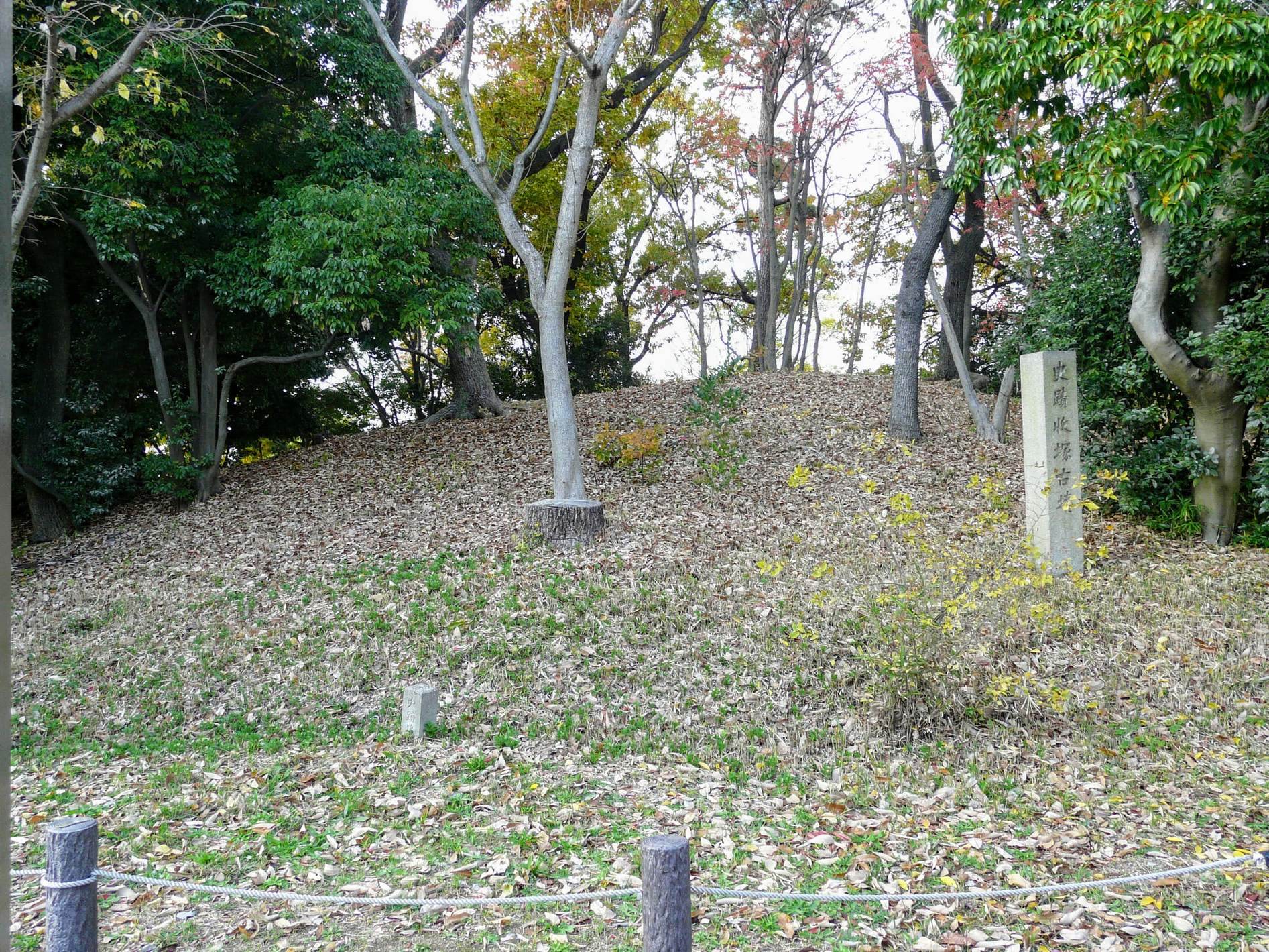
Osamezuka Kofun has a short west-facing front section and a larger rear section, giving the mound its scallop-shell-shaped keyhole plan. The surviving visible mound is about 35 meters in diameter and roughly 4 meters high. Earlier underground laser surveys estimated a total length of 57.7 meters, a front-section length of 26 meters, a rear-section diameter of 42 meters, and a height of 4.2 meters. A reconstruction based on the 2015 excavation estimated a total length of 72.5 meters and a mound length of 59 meters, with the rear section measuring about 42 meters across. It is also described more generally as approximately 60 meters long, with a rear section exceeding 40 meters in diameter.
The rear section was built in two tiers. A terrace carried a row of small cylindrical haniwa, clay objects placed on or around ancient Japanese burial mounds. Radar indicated a possible circular, level external feature about 25 meters in diameter at elevations of approximately 20.5 to 21 meters. This feature has been interpreted as a possible terrace associated with the mound.
Moat and embankment
A moat, meaning a deliberately excavated ditch around a constructed feature, surrounded the mound. Its bottom was nearly flat and about 10.5 meters wide, while its upper width measured approximately 18.5 meters in the 2006 investigation. Excavation at the southern constriction confirmed the moat’s full width there, and later surveys traced its course around the rear section and reconstructed its shield-shaped distribution around the front section.
The moat is preserved underground. Parts of its former outline, including the levelled front section and filled ditch, are represented by colored paving in the surrounding walkway and open space. In places, the rear-section moat is shown twice, reflecting both a 1997 reconstruction and the results of the 2015 investigation.
The moat slopes were stepped in places. At the 2007 investigation area, the outer slope descended in two or three stages. The slope from the embankment toward the moat was approximately 25 to 30 degrees, while the slope from the mound foot toward the bottom of the moat was about 12 degrees. Fallen revetment stones around the mound foot and the front-section slope included river stones and split stones. More than 80 percent are thought to have come from rivers in the area between Izumi and Kishiwada.
Haniwa and excavated objects
Clay figures and vessels
Excavated haniwa included cylindrical forms, morning-glory-shaped forms, and representational figures. Cylindrical examples commonly formed rows, and the mound’s rear-section terrace contained such a row. Most cylindrical fragments came from the lowest moat deposits and the foot of the mound. Their rims included horizontally outward-flaring, slightly outward-flaring, and upright types, while additional cylindrical haniwa were thought to have stood on the embankment.
The excavated ceramics included a special Sue-ware stand, other Sue-ware vessels, a high-footed cup, and fragments of a Bizen grinding bowl. Sue ware was a high-fired ceramic tradition of ancient Japan. The special stand came from the lowest moat deposit beside the mound and retained clay joining marks and finger-pressure marks near the junction between its base and upright section.
Later finds and burial evidence
The moat also contained medieval glazed pottery and fragments of medieval wares. The fifteenth-century Longquan-type celadon bowl was recovered from gray-yellow clay inside the outer embankment, while the Bizen grinding bowl is likewise considered a fifteenth-century object. A postwar record also describes fragments of an iron cuirass scattered on the rear mound.
Buried layers and surviving condition
Investigations recorded successive layers of topsoil, construction fill, former cultivated soil, plough-soil, moat fill, and natural ground. Modern changes included levelling and the installation of water and sewage pipes. The northern 2008 excavation also encountered about 60 to 90 centimeters of park-construction fill containing building debris above former paddy-field soil.
Excavated features and artifacts were generally reburied after recording rather than left exposed. The visible monument therefore combines the surviving rear mound with marked traces of the levelled front section and buried moat, while archaeological surveys provide the principal evidence for its original plan and later changes.