Kasbah of Mehdia: Fortified Strongholds on the Sebou River in Morocco
Site at a Glance
- Rating
- 4.3
- Popularity
- Very Low
- Country
- Morocco
- Primary era
- Modern
- Eras represented
- Modern
- Civilizations
- Alaouite
- Site type
- Military
- Remains
- Fort
On this page14 sections
History
The Kasbah of Mehdia refers to fortified sites in Morocco at the mouth and along the lower course of the Sebou River, near present-day Mehdia and Kenitra. The coastal stronghold developed through several phases from the Almohad period onward, while a separate kasbah on the river’s left bank was built in the late nineteenth century as a protected stopping place for travelers.
Early settlement and the Almohad period
The origins of the coastal site remain uncertain. Some historians have proposed a Carthaginian outpost dating to the fifth century BC, while others have attributed its foundation to the Banu Ifren. Its more secure history begins under the Almohads, a North African Islamic dynasty that ruled much of the Maghreb and parts of Iberia during the twelfth and thirteenth centuries. In the twelfth century, Sultan Abd al-Mu’min built 120 vessels there. The settlement also became a small commercial exchange point where agreements and trade were conducted with Europeans.
The kasbah is associated with Abd al-Mu’min’s building activity and was later repaired under Morocco’s Alaouite dynasty. The settlement was eventually destroyed during a conflict between al-Sa’id and Abu Sa’id Uthman of the Marinid dynasty, which ruled much of Morocco from the thirteenth to the fifteenth century.
Portuguese and Spanish occupation
Portuguese forces landed at the mouth of the Sebou in 1515 and began building a kasbah there. Muhammad al-Portuguese al-Sa’di besieged the settlement and expelled them. In 1614, Spanish forces occupied Mehdia and held it for 67 years, calling it San Miguel de Ultramar.
The Spanish fortification was built during the reign of Philip III after the capture of La Mamora. Its purpose was to secure the movement of the India fleet. Construction began with new trenches and timber works rather than the rehabilitation of an earlier fortification on the river’s north bank. The presidio, a fortified military settlement and garrison, contained the castle of San Felipe, walls, warehouses, towers, a church, hospital, stables, and accommodation for soldiers.
The engineer Cristóbal de Rojas initiated the project, and Juan de Médicis y Alemanni continued it after Rojas died. Cristóbal Lechuga, an authority on artillery and fortifications, became the first governor. Supplies were sent from El Puerto de Santa María, as they were for Larache, through the logistical organization of the seventh Duke of Medina Sidonia.
The Alaouite fortress and later decline
The stronghold surrendered in 1681, after which Sultan Moulay Isma’il occupied it. It subsequently became known as the Qasba Moulay Isma’il. Its commander, Ali al-Rifi, governed the fortress and added a large gate, mosque, palace, bathhouse, prison, and other buildings.
Mehdia declined at the end of the eighteenth century, and the fortification fell out of use. French forces briefly occupied it at the beginning of the twentieth century. The coastal site is now represented by ruins and surviving parts of the successive fortified settlements.
The late nineteenth-century kasbah
A separate Kasbah of Mehdia stood on the left bank of the Sebou, on the imperial route from Rabat to Fez and about 7 km from the Atlantic Ocean. Traditionally called the Kasbah of El Amira, it functioned as a caravanserai, or funduq, an enclosed roadside complex where travelers, caravans, animals, and sometimes a garrison could stay safely away from raiders.
Construction probably began in 1892 and was completed around 1895 or 1896, during the reign of Sultan Moulay Abd al-Aziz. An inscription above the entrance gave the completion date as 1313 in the Islamic calendar. Before the French Protectorate, the kasbah housed a small, poorly equipped Makhzen force, meaning troops of the sultan’s governmental and military administration. Its single gate was closed at night and reopened in the morning.
During the insecurity of 1911 to 1913, Zemmour tribal attacks on French troops and civilians led local people to seek refuge inside the citadel when the garrison sounded its trumpet. On 27 June 1913, during the French Protectorate, the kasbah became the administrative headquarters of the protectorate representative and the seat of the Civil Control of Rharb and Beni Ahsen. Former lodging rooms became offices, while a municipal-services chief and municipal commission were appointed on 27 December 1914. A civil mortuary service, prison, school, chapel, and Moroccan auxiliary garrison of mokhaznis, commanded by French officers, were also installed.
In 1919, the second kasbah became private property. Its ground floor was converted into shops, commercial premises, and offices, with apartments above. Later commercial facades progressively concealed the historic structure, which remains an important surviving vestige of the settlement that existed there before the French occupation.
Remains
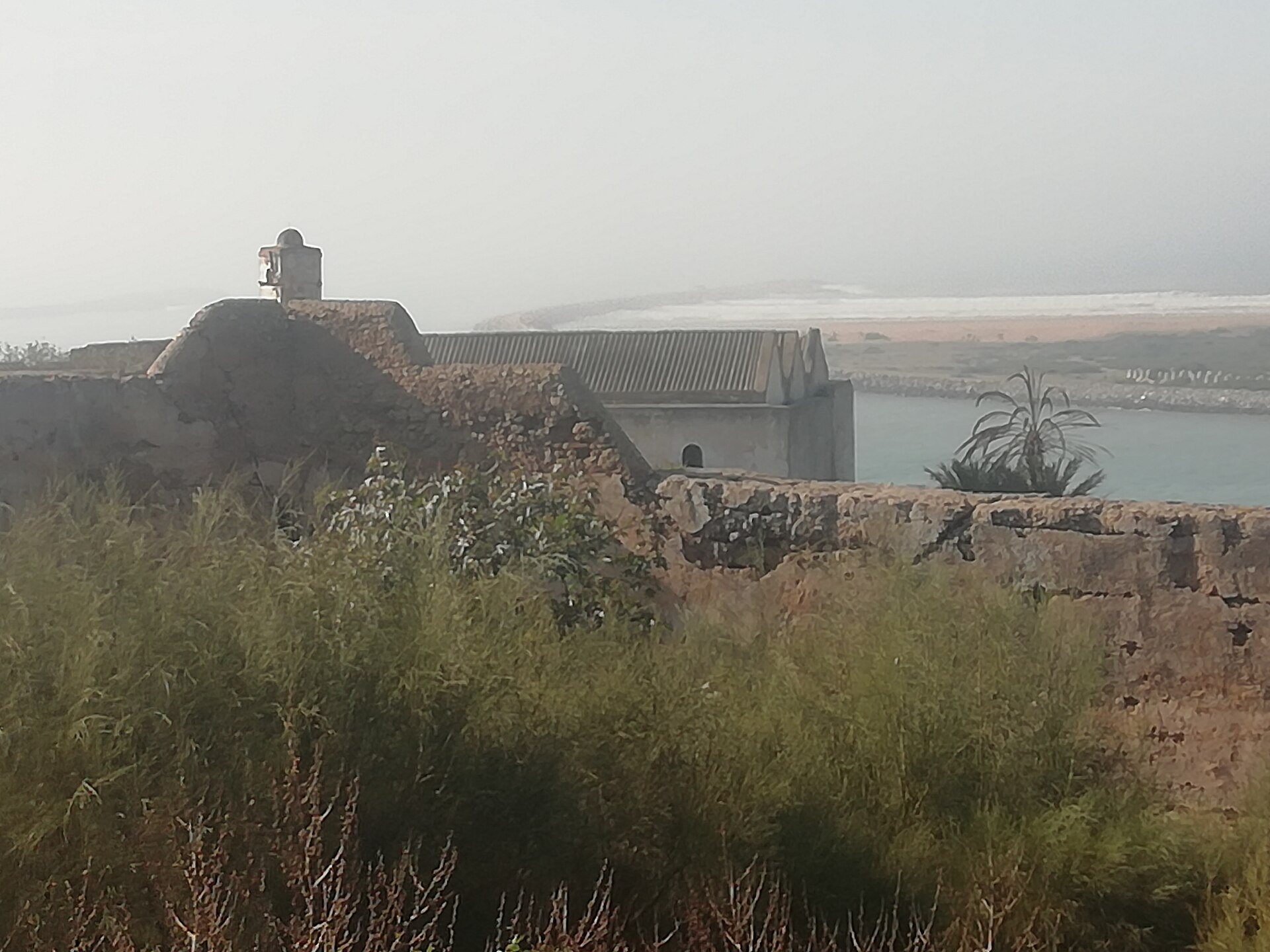
The remains associated with the Kasbah of Mehdia belong to two different fortified settings. The coastal stronghold occupies a rocky slope at the mouth of the Sebou, where the river enters the Atlantic. Its elevated position was intended to control and protect the coastal area. Farther inland, the second kasbah formed a large quadrilateral on the left bank of the river, with enclosed lodging, military, and administrative spaces.
Coastal fortification
Walls and eastern gate
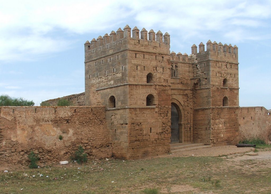
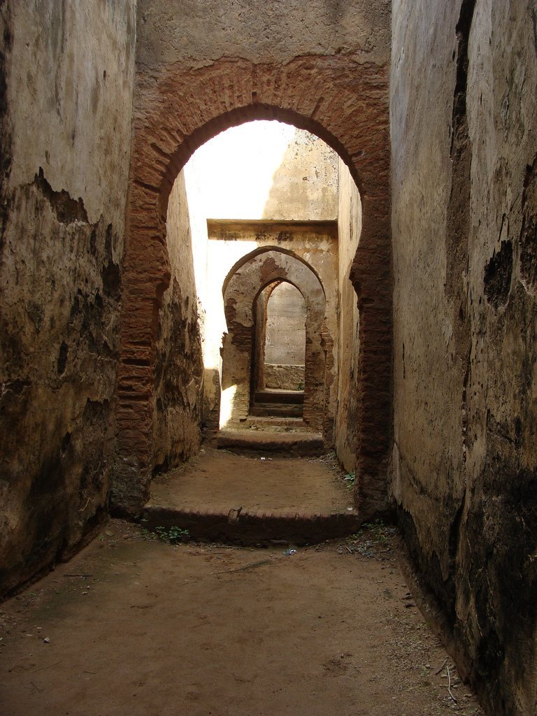
The coastal ruins include exterior walls, two gates, and other buildings. The eastern gate is regarded as the most architecturally significant. Carefully arranged stone forms its structure, which has been compared with Almohad-period gates at Salé and Rabat, including Bab al-Alou and Bab Zaer.
San Felipe castle
The Spanish castle of San Felipe had a pentagonal plan. Its surviving parts include the outer walls, three southern bastions, eastern fortifications, and the entrance gate. A bastion is a projecting defensive work designed to provide flanking fire along a wall.
Religious, domestic, and military buildings
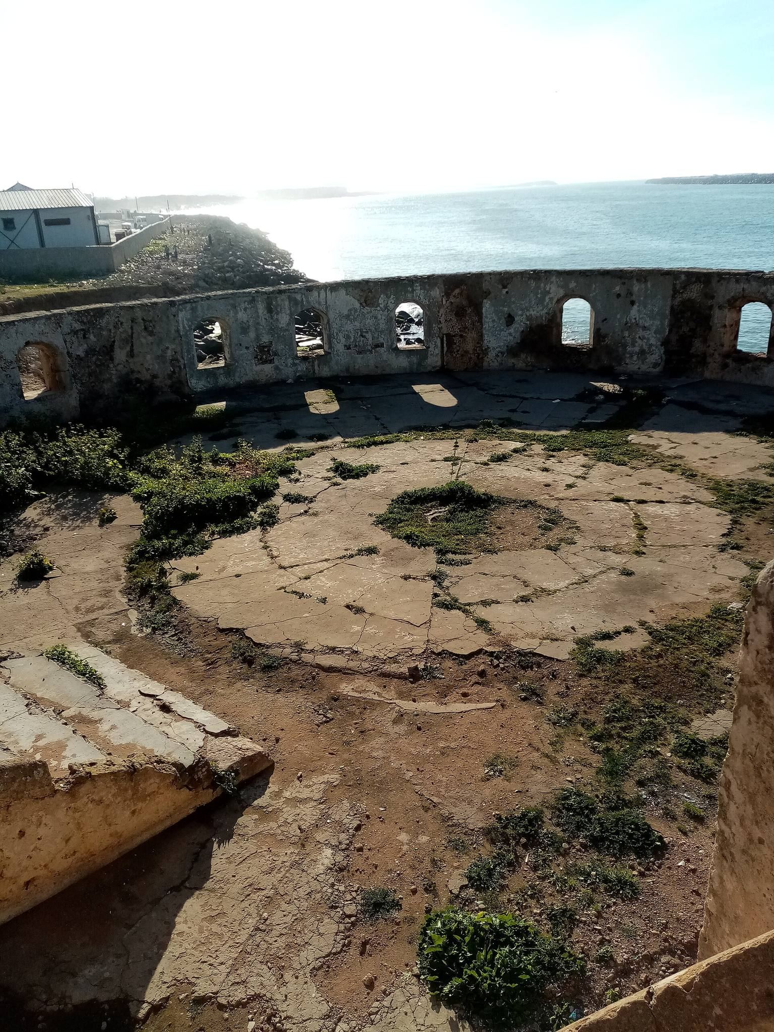
Other coastal components include a church later converted into a mosque, the house of Commander Ali al-Rifi, a seventeenth-century private bathhouse in a Spanish-Moorish style, water-storage buildings later used as a prison, a mosque, warehouses, inns, and shops. The fortification was built on a slope, and a circular redoubt near the beach still retained its roof in the mid-twentieth century. The remaining structures are otherwise described as ruins.
Kasbah of El Amira
Enclosure and entrance
The second kasbah formed an approximately 100 m square enclosure. Square towers stood at each corner and at the midpoint of every side, giving the compound the appearance of a small fortress. Its single entrance faced west toward the sea and passed through a projecting structure in the middle of the western wall. Guard posts stood beneath a semicircular vault.
Interior spaces
A small mosque with a minaret stood opposite the entrance. It appears never to have been completed and may never have served as a place of worship. One-room chambers known as benigas lined the inner perimeter walls, providing accommodation for travelers and the garrison. The large central courtyard held caravans, travelers, and animals.
River and landscape setting
The kasbah stood within a landscape shaped by the Sebou and its surrounding wetlands. The Fouarat tributary lay about 1,350 m to the east, with the Fouarat merja, or marsh, nearby, while the Bir-Rami merja lay about 4 km to the west. The Maâmora cork-oak forest extended southeast toward the kasbah before later receding through timber exploitation.
Urban development and later commercial facades have largely concealed the second kasbah. Its surviving fabric is altered and enclosed by the surrounding city.