Castro da Curalha: An Iron Age–Roman Hill Settlement in Portugal
Site at a Glance
- Rating
- 4.6
- Popularity
- Very Low
- Country
- Portugal
- Primary era
- Iron Age
- External website
- Open
- Eras represented
- Iron Age, Classical
- Civilizations
- Roman
- Site type
- Military
- Remains
- Fortified Town
On this page8 sections
History
Castro da Curalha is an Iron Age–Roman hill settlement in Portugal, founded in the 1st century BC in the southern part of the territory of the Callaici and associated with the Castro culture, the northwestern Iberian tradition of enclosed hilltop settlements with stone defenses and domestic buildings. The site occupied an important position during the transition between pre-Roman communities and Roman rule in the region.
The Callaici and Roman expansion
The Callaici occupied a broad area extending from the Douro northward through northern Portugal, Galicia, western Asturias, and western León. Northwestern Iberia nominally belonged to the Roman province of Hispania Citerior from 197 BC, but Roman authority was not firmly established until the Cantabrian Wars, a series of campaigns fought under Augustus, Rome’s first emperor, between 29 and 19 BC.
Romanization advanced through the foundation of Bracara Augusta, Lucus Augusti, and Asturica Augusta, the Roman cities corresponding approximately to present-day Braga, Lugo, and Astorga. Castro da Curalha stood only a few kilometres south of the road linking Bracara Augusta with Asturica Augusta and about 6 kilometres southwest of Aquae Flaviae, a Roman municipium, or town whose inhabitants held Roman civic rights and whose administration followed Roman municipal forms.
Roman and medieval occupation
Earlier occupation before the Roman period is probable, although relatively few finds represent it. Roman use is more clearly reflected in the excavated structures and objects, while the settlement’s Roman name remains unknown. Medieval finds show that the hilltop continued to be used, or was occupied again, after the end of Roman rule.
Investigation and preservation
The site was first mentioned in the 18th century and was described in 1917 by the archaeologist and geologist José Leite de Vasconcellos. Ten excavation campaigns carried out between 1974 and 1984 under J. R. dos Santos Júnior and Adérito M. Freitas investigated the settlement extensively. Additional excavations followed from 1988 to 2006. Castro da Curalha remains privately owned but has been made accessible to the public and is maintained in good condition.
Remains
Walls and defended entrances
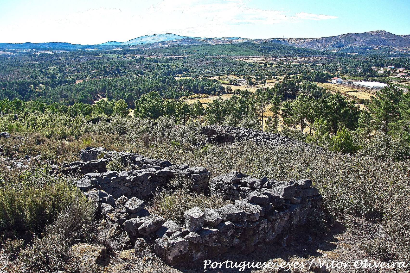
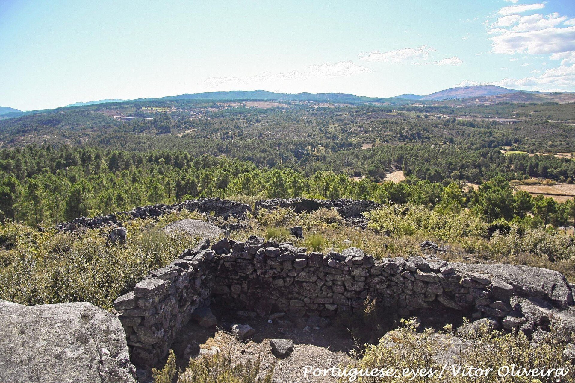
The settlement occupies an oval area measuring approximately 56 by 42 metres and covering about 7.4 ares. It lies at roughly 420 metres above sea level near the centre of a hill range extending about 1.6 kilometres from northeast to southwest, with the Tâmega bordering the range on its southwestern side. Two complete wall circuits enclose the site, and a fragment of a third wall survives in the northwest for about 10 metres. All the defenses were built from granite blocks laid without mortar.
The inner wall reaches up to 5 metres in thickness. Entrances on its north, west, and east sides led into the space between the two circuits. The outer wall lies close to the inner one, with a maximum interval of 10 metres, and has a single entrance on the north. Because the entrances are offset from one another, the passage between the walls offered additional protection to the inner gates.
Streets and buildings
Granite-paved streets divided the settlement and provided access between its buildings. The remains are especially well preserved from the eastern gate onward. One street curves toward the centre, while another follows a course parallel to the wall. The eastern sector was densely occupied between the inner wall and the street. Its rectangular buildings used the wall as a rear boundary, shared partition walls with neighbouring structures, and opened toward the street.
A circular building was excavated on the small rocky summit at the centre, together with further rectangular houses. Its round plan cannot by itself establish a pre-Roman date, since circular houses occurred especially in Castro settlements but continued to be built during the Roman period. West of the summit, another row of rectangular buildings extends directly toward the southwestern side of the inner wall. These structures also share partition walls. The close-packed arrangement is denser than the more loosely distributed buildings and separately walled areas found at many other Castro-culture settlements.
Excavated materials
The excavated material consists mainly of Roman roof tiles and domestic pottery. The roof tiles include tegulae, flat tiles, and imbrices, curved tiles laid over their joints. Other finds include Roman tableware, terra sigillata, a fine tableware usually marked by a red surface coating and stamped or moulded decoration, along with glass, glass paste, beads, and numerous coins dating to the 4th century AD. Small quantities of iron slag indicate limited metalworking in or near the settlement. Part of the excavated material is preserved in the Museu da Região Flaviense in Chaves.