Hartelstein Castle: A Medieval Fief and Surviving Castle Farm in the Netherlands
Site at a Glance
- Rating
- 4.1
- Popularity
- Very Low
- Country
- Netherlands
- Primary era
- Early Modern
- Eras represented
- Early Modern, Modern
- Civilizations
- Unclassified
- Site type
- Domestic
- Remains
- Manor House
On this page10 sections
History
Hartelstein Castle is a historic castle site in the Netherlands, near Maastricht. Its first undisputed mention dates to 1365, although the castle may be older. A document issued near Itteren in 1229 may refer to Hartelstein, but that identification remains uncertain. The site was a fief of Valkenburg, meaning land held under Valkenburg’s feudal authority, and later became an estate centred on a castle farm.
Medieval Fief
In 1381, Engelbert van Schoonvorst held Hartelstein as a major fief of Valkenburg, a substantial feudal holding. The Van Ghoir family owned it from 1415 to 1451. In 1451, ownership passed to Conraad van Horion and Aleidis van Tzevel, while Gerard van Ghoor acquired Hartelstein by inheritance in 1475.
From Castle to Estate
Hartelstein was still inhabited during the sixteenth century. In 1598, it was donated to Charles de Billehé, and a garrison was housed there in 1629. By 1696, the estate belonged to Johan Bernard van Volckershoven, quartermaster of the States. He leased the castle farm to Hans Peter de la Haye, while the castle itself was probably no longer standing by that time.
The Van Dopff family later held the estate. In 1750, they sold the castle farm to Willem van Mewen, also known as Van Meeuwen. The property was held as a Valkenburg fief under Bunde until it was incorporated into Itteren in 1785. In 1916, the castle farm and its surrounding 114 hectares became the property of Almédée Tielens.
Modern Preservation and Use
The surviving castle farm has been a Dutch national monument since 1966. This status provides legal protection for heritage sites recognized for their historical, architectural, or archaeological value. Restoration of the farm took place between 1991 and 2001.
Since 1985, the building has housed a residential work community for people with psychological or social problems. In cooperation with the Emmaus foundation, the community operates a second-hand shop there. The site’s decades-long shelter for homeless people ended in 2022.
Between 2008 and 2018, the area around the farm was excavated for sand and gravel within the Grensmaas project. The Dutch section of the Meuse known as the Grensmaas was the setting for linked flood-management, gravel-extraction, and riverine nature-development works. The project reduced future flood risk and created a wetland nature area, now grazed by Galloway cattle and Konik horses. Hartelstein is associated with the Kleine Geul, the lower course of the Geul, whose surrounding area was also reshaped through gravel extraction, water management, and nature development.
The Archaeological Visitor Centre Kasteelhoeve Hartelstein opened in March 2020 through an initiative of the province of Limburg, the municipality of Maastricht, and the Grensmaas Consortium. It presents selected artefacts from the wider Grensmaas region, drawn from more than 10,000 archaeological finds. The selection is intended to change every six months, with several highlights displayed permanently.
Remains
Castle Island and Farm Complex
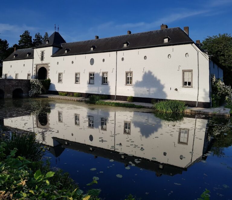
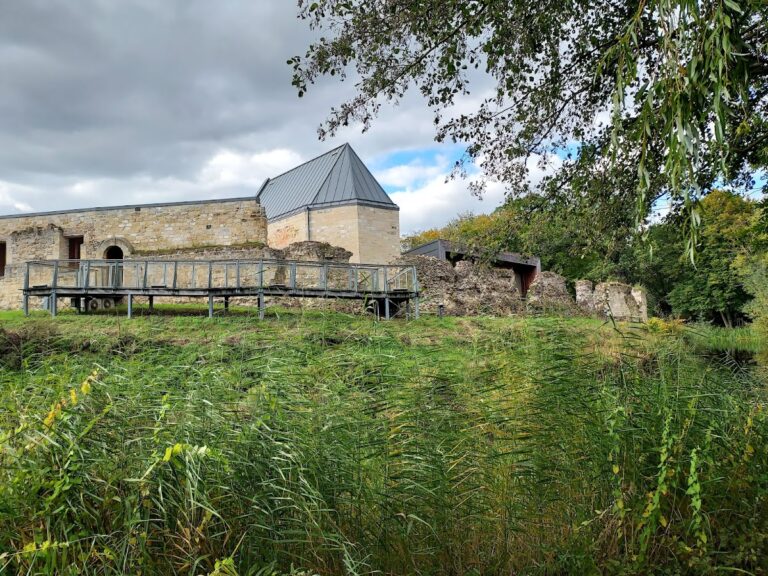
The former castle stood on a moated island as a U-shaped building, shown on the Villaret map of 1745 to 1748. A bridge linked the island with the separately moated grounds of the castle farm. The farm lies southeast of the former castle and follows the line of the former access avenue. Several foundations mark the position of the original castle.
Castle Farm
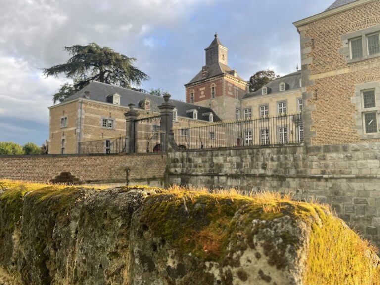
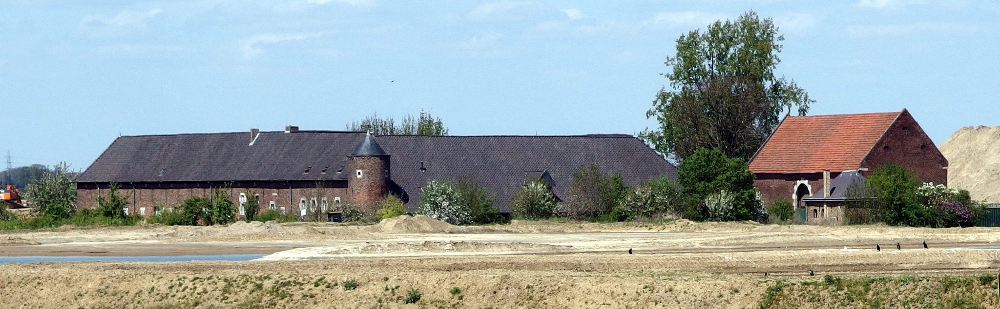
The surviving complex is a largely enclosed quadrangular brick farm with associated buildings. Its western wings date from the early seventeenth century, while the remaining parts were built in the eighteenth century. The farm originally had two round corner towers. One was demolished in 1926, probably because of subsidence after the Meuse flood of that year, and the roof of the surviving tower was later altered.
Outbuildings
A large nineteenth-century barn stands opposite the farm along the former access avenue. On the east side is a detached bakehouse dating from the seventeenth or eighteenth century. Together with the enclosed farm buildings, these structures preserve the arrangement of the later estate around the former castle site.
Gateway and Interior Features
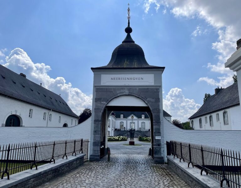
A seventeenth-century round-arched gateway is incorporated into the courtyard. Its drawbridge slot is a structural recess that accommodated the movement or mechanism of a drawbridge. The gateway came either from the demolished castle or from a gatehouse that gave access to the island containing the castle farm. A keystone carries the date 1705 and the coat of arms of the Van Volckershoven family, while the residential interior contains a seventeenth-century fireplace.
Archaeological Collection and Landscape
The archaeological centre displays material from the wider Grensmaas area, including remains of a Roman villa, a Carolingian royal grave, Viking weaponry, swords and mortars from several periods of warfare, agricultural tools, ship equipment, and ship cargoes dating from the past two millennia. The collection also includes remains associated with the largest horse grave in Europe, with one skeleton from the Borgharen horse grave on permanent display.
The surrounding landscape is now a water-rich nature area formed through the combined effects of gravel extraction, flood-management works, and nature development. Its present character belongs to the same river-management project that reshaped the archaeological setting around Hartelstein.