Ōta Tenjin-yama Kofun: A Keyhole-Shaped Burial Mound in Japan
Site at a Glance
- Rating
- 3.8
- Popularity
- Low
- Country
- Japan
- Primary era
- Classical
- External website
- Open
- Eras represented
- Classical
- Civilizations
- Unclassified
- Site type
- Burial
- Remains
- Burial Mound
On this page17 sections
History
Construction and regional power
Ōta Tenjin-yama Kofun is a Kofun-period burial mound in Japan, near Ōta in Gunma Prefecture, built by the communities of ancient Keno during the early to middle fifth century. A kofun is a monumental Japanese burial mound. The mound is approximately 210 meters long, making it the largest kofun in eastern Japan, the only mound in that region exceeding 200 meters, the largest in Gunma Prefecture, and the 28th largest in Japan.
The date is based on recovered haniwa and Haji ware. Haniwa are clay cylinders and figures placed around or on burial mounds, while Haji ware is a type of unglazed earthenware. The size of Ōta Tenjin-yama Kofun indicates the resources available to the leader buried there, whose identity remains unknown. Interpretations include a ruler of a Keno polity able to oppose the Yamato kingdom, an ally of Yamato, or a general sent by it.
Before the mound was built, eastern and western Keno appear to have been controlled by separate regional leaders associated with Bessho Chausuyama Kofun, Senzan Kofun, and Shiraishi Inariyama Kofun. Ōta Tenjin-yama Kofun is understood as evidence that a leader from eastern Keno extended authority across the wider region, probably with support from the Yamato kingdom. The Yamato kingdom was the early Japanese political authority based in the Kinai region, around present-day Nara and Kyoto, which formed alliances and systems of influence with powerful regional leaders.
Connections with Yamato
The coffin form used at Ōta Tenjin-yama Kofun is characteristic of elite tombs in the Kinai region. This has been taken as evidence of a strong relationship with Yamato. One interpretation links the tomb to the Kamitsukeno clan, a regional lineage of ancient Keno. The Nihon Shoki, a major early Japanese chronicle, describes the clan as participating in diplomacy with the Korean Peninsula and in military expeditions organized by Yamato. Another hypothesis identifies the buried individual as Aratawake, a figure named in the Nihon Shoki, but this identification remains speculative.
The mound represents the only known generation in which a huge burial mound symbolized control over the whole Keno region. Later monumental tombs were concentrated in separate groups around Maebashi, Takasaki, and Fujioka. The design has also been interpreted as a half-scale version of the plan of Kondagobyoyama Kofun in Osaka Prefecture. This proposed relationship has been used to connect Ōta Tenjin-yama Kofun with the Kawachi royal authority rather than the Saki royal authority.
Later history and archaeological investigation
A Tenjin shrine stands at the neck of the mound, giving rise to the name Tenjinyama Kofun. The site was associated with looting by 1738, when a record submitted to the shogunate described a stone from the coffin that had been removed and reused as a gravestone. The mound was listed in a 1938 compilation of ancient mounds as Kugo Village Mound 69. On January 27, 1941, the mound and inner moat were designated a National Historic Site under the official name Tenjinyama Kofun.
Archaeological work began with a mound survey in 1957. Investigations followed at the inner moat in 1965, during surveys and moat excavations by the Gunma Prefectural Board of Education in 1970, and in connection with a transmission tower in 1979. Further work examined the outer moat in 1982, confirmed its projected line in 1989, and exposed a row of cylindrical haniwa beside the western middle bank in 1993. Investigations at the eastern end of the outer moat in 1994 and during the elevation of the Tobu Koizumi Line in 1995 established additional information, including the southern limit of the outer moat. Recovered haniwa and other artifacts are partly displayed at the Ōta City Nittasō History Museum.
Remains
Main mound and construction
Keyhole-shaped mound
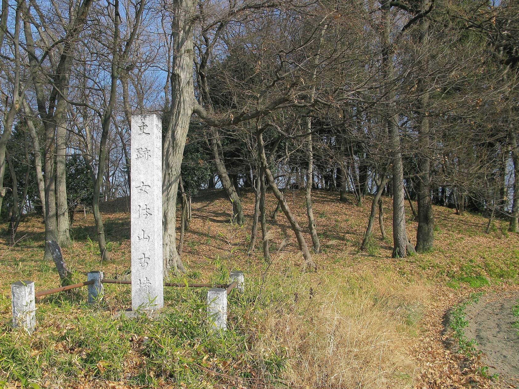
Ōta Tenjin-yama Kofun occupies the eastern edge of a plateau about 40 meters above sea level near the center of Ōta. It is a keyhole-shaped mound, a form combining a circular rear section with a rectangular frontal section. The frontal section points southwest. The mound is approximately 210 meters long. Its circular rear section is about 120 meters in diameter, with a flat summit roughly 24 meters across and a height of about 16.5 meters. The frontal section is approximately 126 meters wide at its front and about 12 meters high.
Both sections were built in three tiers. The mound surface was covered with fukiishi, a layer of river stones, using stones from the Watarase River system that generally measure about 20 centimeters across. Three tiers of cylindrical haniwa surrounded the mound, and further rows were placed on the middle and outer banks. Possible projecting platforms have been identified on both the eastern and western sides of the neck. The eastern neck produced the head of a waterfowl-shaped haniwa, and an island may have occupied part of the eastern inner moat.
Burial installation and stone coffin
The burial installation has not been excavated. A pit-type burial facility, meaning a chamber or shaft cut into the mound, is inferred beneath the flat summit of the rear section. Its precise form is unknown because the summit was looted in antiquity. A depression remains there, with small gravel nearby interpreted as debris from the looting.
A fallen stone near the southern foot of the rear section is considered part of a composite long-chest-shaped stone coffin. This type was assembled from several fitted stone components and had projecting fittings at its ends. The surviving stone is made of green tuffaceous sandstone from Gunma and has nipple-like projections characteristic of the form.
The 1738 record describes another coffin slab more than 9 shaku long, more than 5 shaku wide, and more than 1 shaku thick, equivalent to approximately 2.7 by 1.5 by 0.3 meters without its projections. Rope-holding projections at both ends and carved grooves identify it as another part of a long-chest-shaped coffin. Its dimensions differ from those of the surviving stone, so it is regarded as a separate component. The other coffin pieces are missing.
This coffin type is rare and is otherwise associated mainly with tombs of great kings in the Kinai region and the most powerful regional leaders. The coffin at Ōta Tenjin-yama Kofun was larger than the example from Ofujiyama Kofun, the only other known eastern-Japan example of the same pure form. Similar manufacturing techniques have led to the proposal that craftsmen from the Kinai region made both coffins.
Moats and banks
Inner and outer moats
Two surrounding moats enclose the mound. The inner moat is shield-shaped and reaches a maximum depth of about 1.2 meters. It is approximately 36 meters wide behind the rear section and 24 meters wide in front of the frontal section. The outer moat is horseshoe-shaped, measuring about 9 meters wide behind the rear section, 17 meters beside the neck, and 6 meters in front of the frontal section.
Middle and outer banks
The middle bank is about 31 meters wide behind the rear section and 24 meters wide in front of the frontal section. Cylindrical haniwa stood in rows on the middle and outer banks as well as around the mound itself. Including the mound and moats, the overall zone measures approximately 364 meters along its main axis. Its width is about 288 meters on the rear-section side and 242 meters on the frontal-section side.
The main dimensions share a common divisor of 2.4 meters. This has led to the proposal that the builders used a 24-centimeter Jin measure and a basic module of 25 units, or 6 meters. The Jin measure was a Chinese linear standard associated with the Jin dynasty. Similar use of this measurement system has been proposed for several earlier mounds in the Keno region.
Objects and associated mounds
Haniwa and other finds
Finds from the site include cylindrical, waterfowl-shaped, house-shaped, and implement-shaped haniwa, along with several types of Haji ware and a reported house-shaped stone model. Figurine haniwa could represent animals, houses, people, or implements, while cylindrical examples commonly formed boundary rows. Some of these finds are displayed at the Ōta City Nittasō History Museum.
A Mound
A possible subsidiary mound known as A Mound survives northeast of the main mound. It is circular, about 36 meters in diameter and 3.2 meters high, and lies approximately on the extension of the main mound’s axis. Cylindrical haniwa of the same type as those from the main mound were found there. The 1938 compilation listed it as Kugo Village Mound 67.
B Mound
A second possible subsidiary mound, B Mound, occupies the outer bank at the southwestern corner of the frontal section. An old tradition places a horizontal passage at this location. The feature may instead be a later burial mound unrelated to Ōta Tenjin-yama Kofun.
Nyotaizan Kofun
Nyotaizan Kofun lies approximately 300 meters northeast of the main mound. It is a large scallop-shaped burial mound about 106 meters long. A scallop-shaped mound has a smaller projecting section attached to a larger circular mound. Nyotaizan Kofun shares the principal orientation of Ōta Tenjin-yama Kofun and follows a planning relationship based on the same 25-unit measurement module. It was probably designed at approximately the same time, although its construction may have slightly preceded the main mound. Its relationship to the person buried at Ōta Tenjin-yama Kofun is unknown.
Condition and survival
The frontal section has been deformed in part by wartime air raids. A road skirts the foot of the rear section, and the Tobu Koizumi Line crosses the outer-moat area. Most of the mound and inner moat remain well preserved, allowing the principal form, tiered construction, surrounding banks, and moat system to remain visible in the surviving site.