Bubiai Hillfort: A Medieval Lithuanian Stronghold on the Dubysa
Site at a Glance
- Rating
- 4.6
- Popularity
- Low
- Country
- Lithuania
- Primary era
- Medieval
- Eras represented
- Classical, Medieval
- Civilizations
- Unclassified
- Site type
- Military
- Remains
- Castle
On this page8 sections
History
Bubiai hillfort is a fortified settlement and medieval stronghold in Lithuania, approximately 14 km southwest of Šiauliai on the left bank of the Dubysa River. People occupied the settlement from the fifth century, while the wooden Dubysa Castle was built before 1230 beside an old trade route linking Riga and Tilsit. The site formed part of the defensive system of northern Lithuania and is also known as Pilale.
Early settlement and the medieval castle
The earlier settlement may have supported approximately 200 to 250 people. It occupied the adjoining highland beside the hill later used for the castle. To create the stronghold, the castle hill was raised and separated from the settlement’s hill by a ditch. The garrison may have numbered between 50 and 70 armed men.
In the summer of 1236, the Sword Brothers, a military order active in Livonia before its incorporation into the Teutonic Order in 1237, raided the area around Dubysa Castle. They did not capture the castle, but they plundered the settlement and outer fortifications. The garrison’s resistance gave the Bulionis, a Lithuanian princely family, time to gather forces. The raiders were then blocked near the Mūša River and defeated in the Battle of Saule.
Dubysa Castle appears in written records in February 1348, when Goswin of Herike, the Livonian master of the Teutonic Order, captured four castles in the Šiauliai region. Johan Renner, using the lost chronicle of Bartholomew Hoeneke, described Dubysa as the strongest castle in this part of Lithuania. The castle was one link in a wider chain of northern Lithuanian castles and hillforts, including Sauginių, Šiauliai, Kulių, Bauskės, Burbaičių, Pažvarkulio, Girninkų, Biržės, and Šatrija. These sites lay approximately 5 to 36 km apart.
Destruction in 1358
On 24 January 1358, Goswin again invaded Lithuania and destroyed the recently built Dubysa Castle in the Šiauliai region. Hermann of Wartberge, a medieval chronicler, recorded that 100 local inhabitants and two brothers of the Order, Johann Hane and Klavenbeke, died during the attack. The two brothers were thrown dead from the castle wall. This destruction ended the castle’s documented medieval history.
Investigation and later changes
Liudvikas Kšivickis investigated the hillfort in 1902 to 1906, again in 1909, and once more in 1911. Archaeologists, including Bronius Dakanis, Birutė Salatkienė, and Audronė Šapaitė, surveyed the site in 2000 and carried out a comprehensive investigation in 2008. The foothill settlement was identified through test drilling in 1993 and investigated in 1997 and 1999. The Jakštaičiai–Meškiai burial ground, approximately 1 km northeast of the hillfort, was investigated in 1973 to 1974 and in 1982.
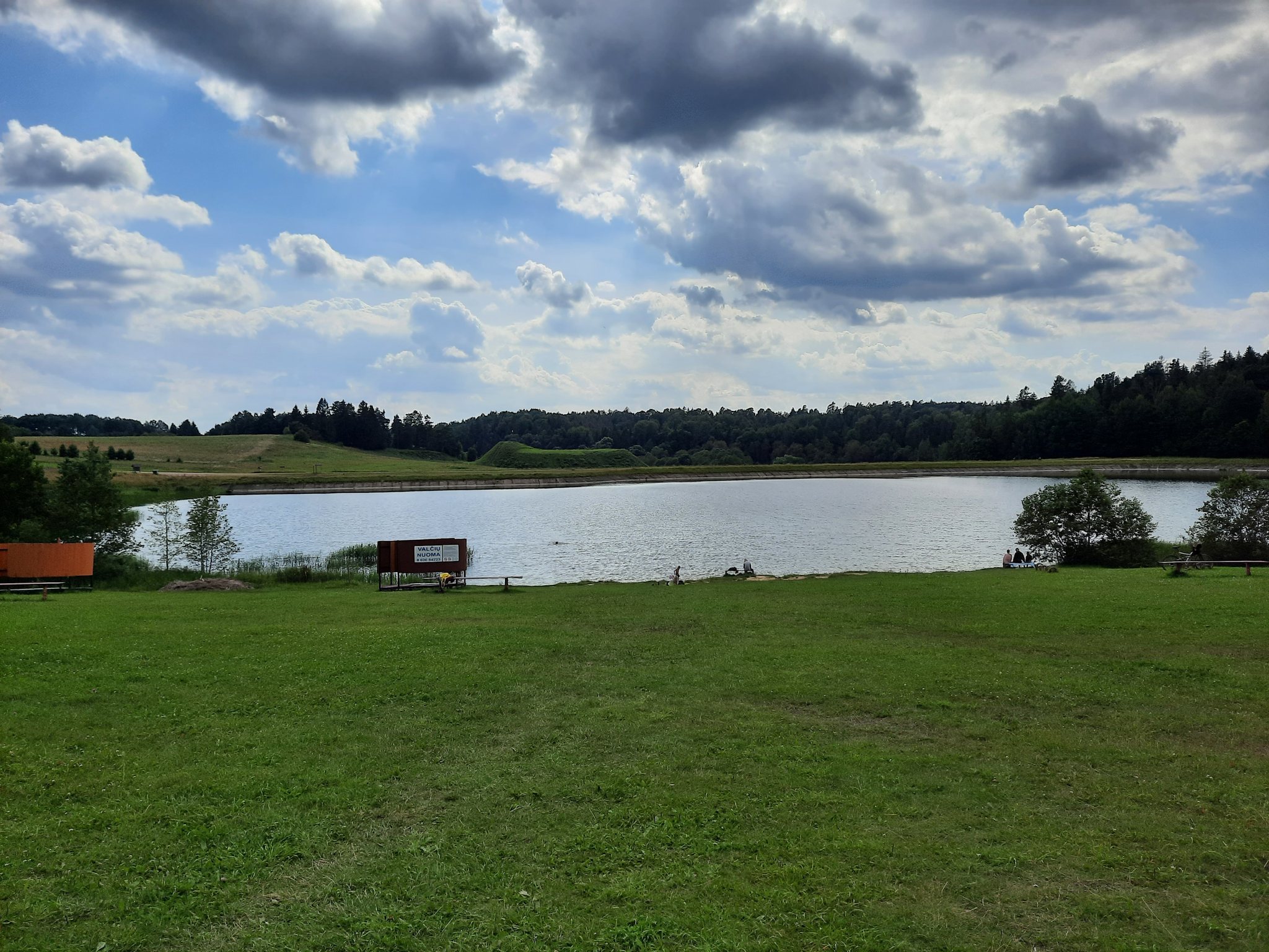
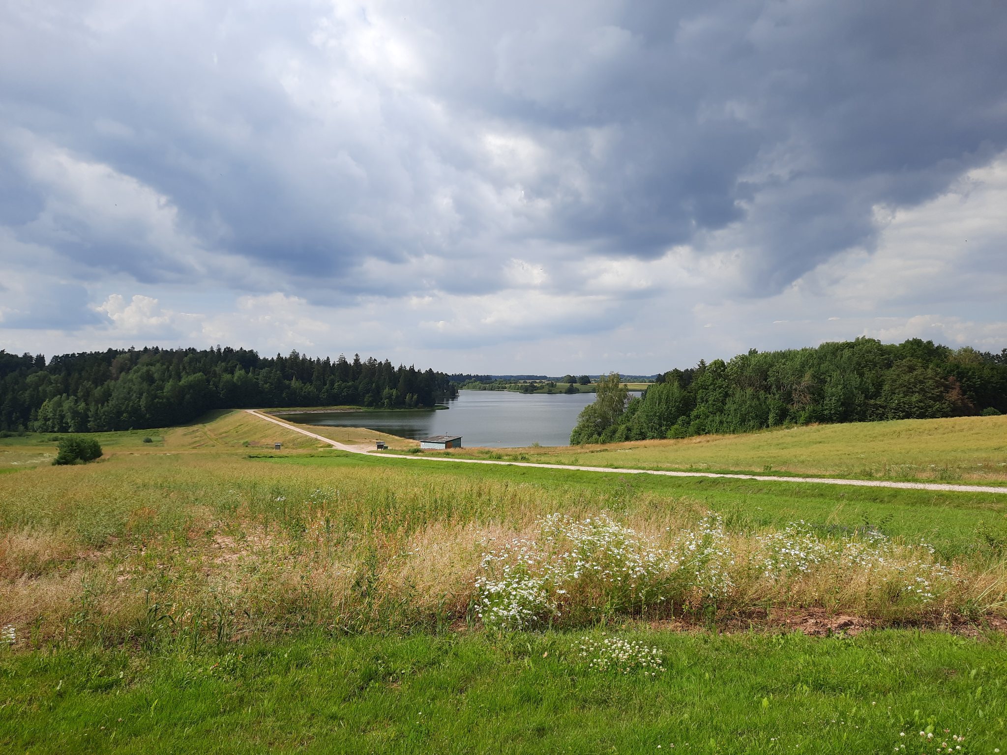
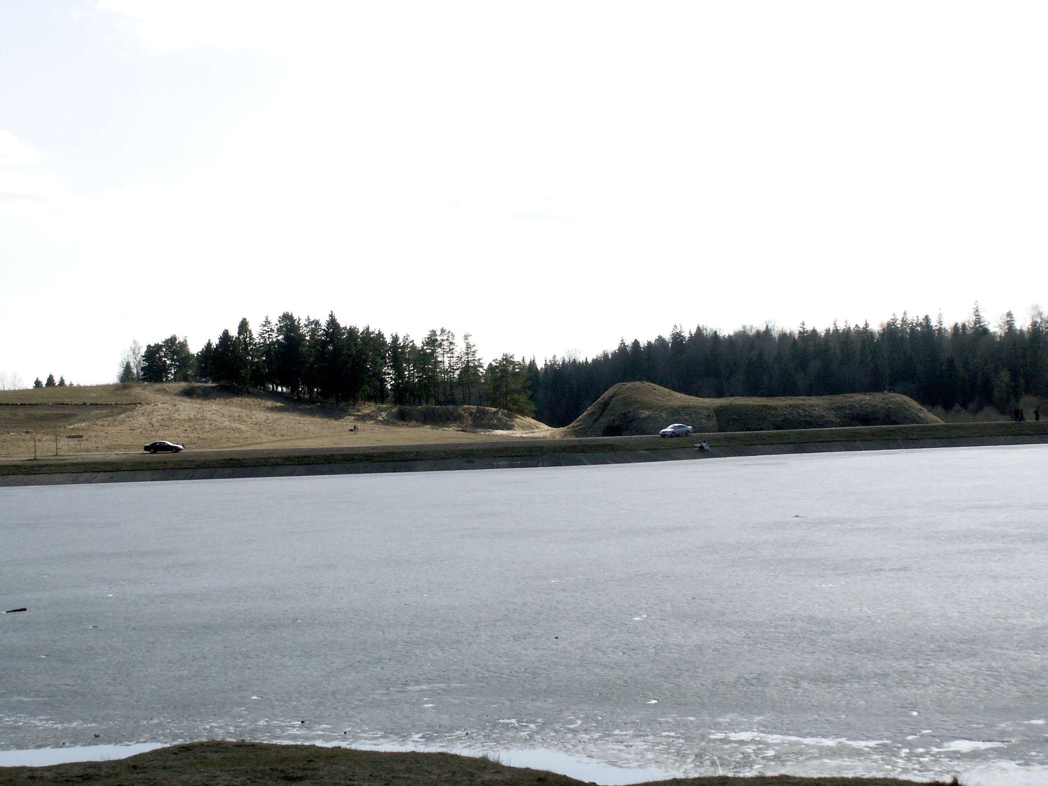
In 1944, trenches damaged the summit and northern slope. Two bunker pits were dug at the eastern foot, within and beside the ditch. Later, damming the Dubysa created the Bubiai Reservoir beside the hillfort, while the hillfort itself was preserved.
Remains
Hillfort setting and defensive works
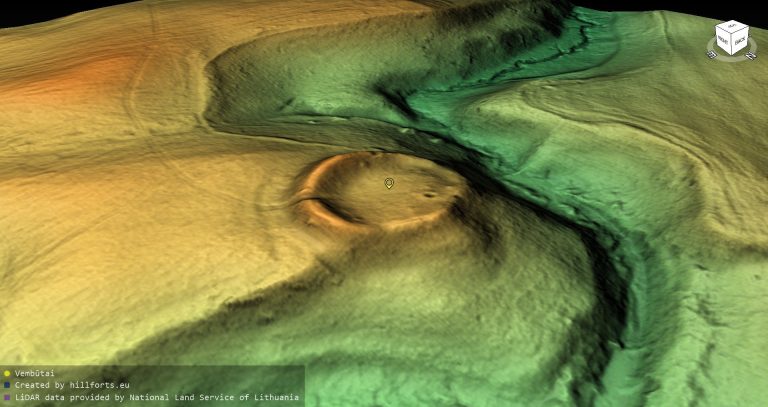
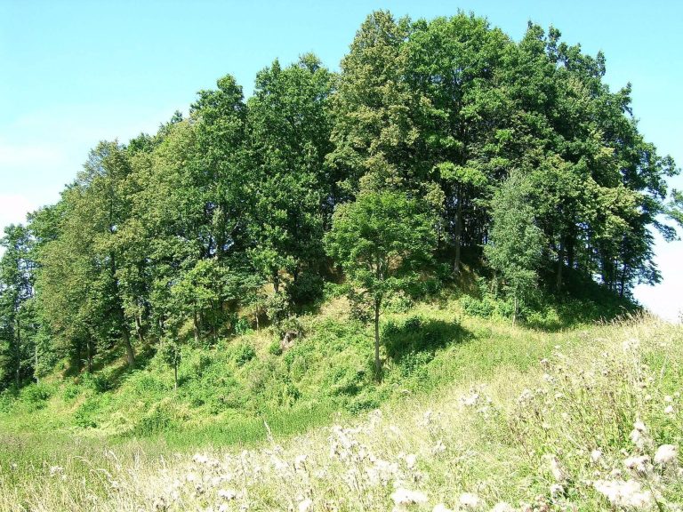
The wooden castle stood on an upland promontory beside the Dubysa. The river valley enclosed the site to the north, west, and south, and wetlands along the river provided additional protection on the western side. The natural slopes are steep and approximately 10 to 14 m high. The elongated summit has a quadrilateral-oval outline, extending southeast to northwest for approximately 80 m and reaching about 35 m in width.
A major rampart occupies the southeastern end of the summit, where the castle tower and gate are thought to have stood. It is approximately 35 m long, 4.5 m high, and 18 m wide. Its outer slope descends for about 10 m to a ditch approximately 26 m wide and 5 m deep. The ditch separated the hillfort from the adjoining highland. A second rampart, about 0.8 m high and 13 m wide, was formed at the northwestern end of the summit.
The castle was enclosed by a palisade, a defensive wall made from upright logs, approximately 5 to 6 m high and strengthened with stones. A platform for defenders ran along the inner side. The arrangement combined the elevated promontory, steep natural slopes, wetland, ramparts, ditch, and wooden wall into a compact fortified position.
Occupation layers and castle finds
The hillfort contains a cultural layer, the preserved accumulation of occupation soil and structural debris, up to 1 m thick. It has two horizons. The lower horizon contained a surface paved with ash and stone, while the upper horizon included burnt clay daub and wheel-made pottery. Two hearths lay near the edge of the summit.
Objects from the hillfort include iron knives, fragments of sickles and scythes, a sword crossguard, buckles, a pin, a key, twisted wire, spurs, spearheads, and bolt heads for crossbows. Bronze finds include rings, fittings, horseshoe-shaped and circular brooches, pendants, bells, and spirals. Other objects include a tooth pendant with a chain, a bone whistle, a comb, a clay weight, fragments of stone whetstones, and additional iron and bronze fittings. Animal bones also survived in the occupation deposits.
Objects dating from the middle of the first millennium to the fourteenth century include bow and crossbow arrowheads, knives, keys, slate spindle whorls, burnt clay, and charred wheat, barley, rye, and millet. Some objects recovered during Kšivickis’s excavations may be held in the Hermitage in Saint Petersburg. The 2008 investigation produced arrowheads, knives, awls, parts of scales, ceramic artefacts, and bronze ornaments associated with the Semigallians, a Baltic people whose historical territory included northern Lithuania and southern Latvia. These later finds are held by the Vytautas the Great War Museum and the Aušra Museum in Šiauliai.
Foothill settlement
The settlement below the hillfort covers approximately 6 hectares on its northern, western, and southern sides. Its cultural layer reaches up to 1 m in thickness and dates from the middle of the first millennium to the fourteenth century. Building remains occurred with bronze pendants, a bone needle, coarse, smooth, and wheel-made pottery, animal bones, and clay daub. Together with the hillfort, the settlement occupied the left bank of the Dubysa, beside the reservoir created after the river was dammed. The nearby Jakštaičiai–Meškiai burial ground lies approximately 1 km to the northeast.