Biloniai Hillfort: A Fortified Settlement in Lithuania
Site at a Glance
- Rating
- 4.8
- Popularity
- Low
- Country
- Lithuania
- Primary era
- Medieval
- Eras represented
- Classical, Medieval
- Civilizations
- Unclassified
- Site type
- Military
- Remains
- Fort
On this page7 sections
History
Biloniai Hillfort, also known as Švedkalnis or Šventkalnis, is an archaeological monument of republican significance near Laukuva in Šilalė District, Lithuania. The fortified settlement dates from the first millennium through the beginning of the second millennium, and a settlement of about one hectare occupied the southern foot of the hill.
Early Settlement
The hillfort formed part of a wider settlement landscape. Rough-surfaced pottery was recovered from the settlement below the southern slope, while ornaments and other ceramic artefacts have been found in the surrounding area. In the early twentieth century, Liudvikas Kšivickis identified a thick cultural layer on the hilltop, providing evidence of prolonged human activity at the site.
The Pilėnai Tradition
Biloniai is one of several proposed locations for legendary Pilėnai, a castle associated with a famous episode in 1336 during the wars between the Grand Duchy of Lithuania and the Teutonic Order. The exact location of Pilėnai remains uncertain. Local people have sometimes called Bilionys “Pilionys,” a form that has been compared with Pilėnai. The names Pilėnai, Pilionys, Bilionys, Pillenen, Pilleven, and Pullen have been interpreted as plural forms that might refer to a place containing more than one castle.
The proposed identification also reflects Biloniai’s position near the route between Ragainė and Medvėgalis. Ragainė lies 65 kilometres away in a straight line, with approximately 37 kilometres of the route potentially passable over the frozen Jūra River in winter. Bilionys is about 6 kilometres south of Medvėgalis. Johann Voigt argued that the old Pilėnai stood near Bilionys, while Jonas Basanavičius placed Pilėnai not far from the frontier of the Teutonic Order.
The theory has also been connected with similarities between Teutonic campaigns against Pilėnai on 25 February 1336 and Medvėgalis on 1 February 1329. During the earlier campaign, Teutonic forces bypassed a strong castle in the vicinity, and Biloniai has consequently been suggested as that fortification. The destruction of Pilėnai was followed by campaigns against Kaltinėnai, while nearby castles were attacked repeatedly. This makes it difficult to explain how a substantial Biloniai castle could have escaped Teutonic attacks, so the identification remains conjectural.
Remains
Hilltop Fortifications
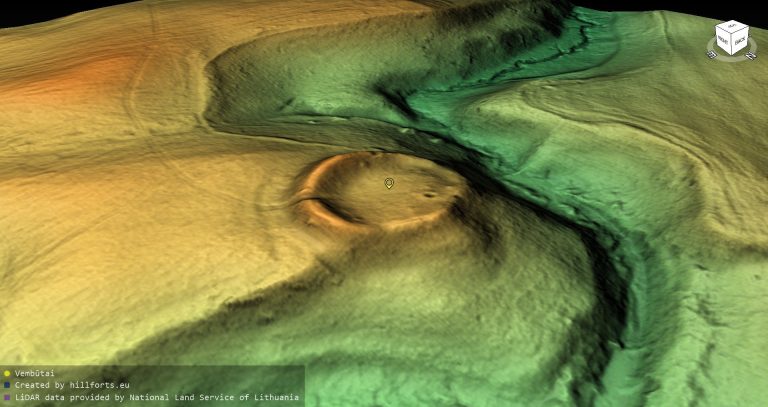
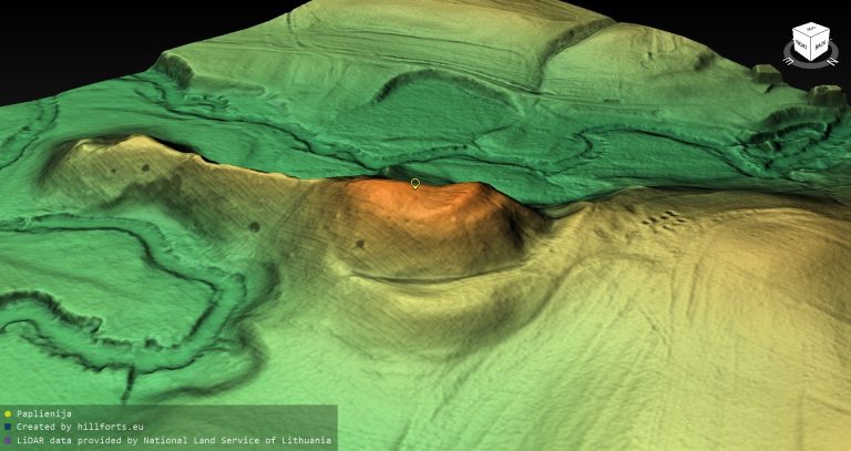
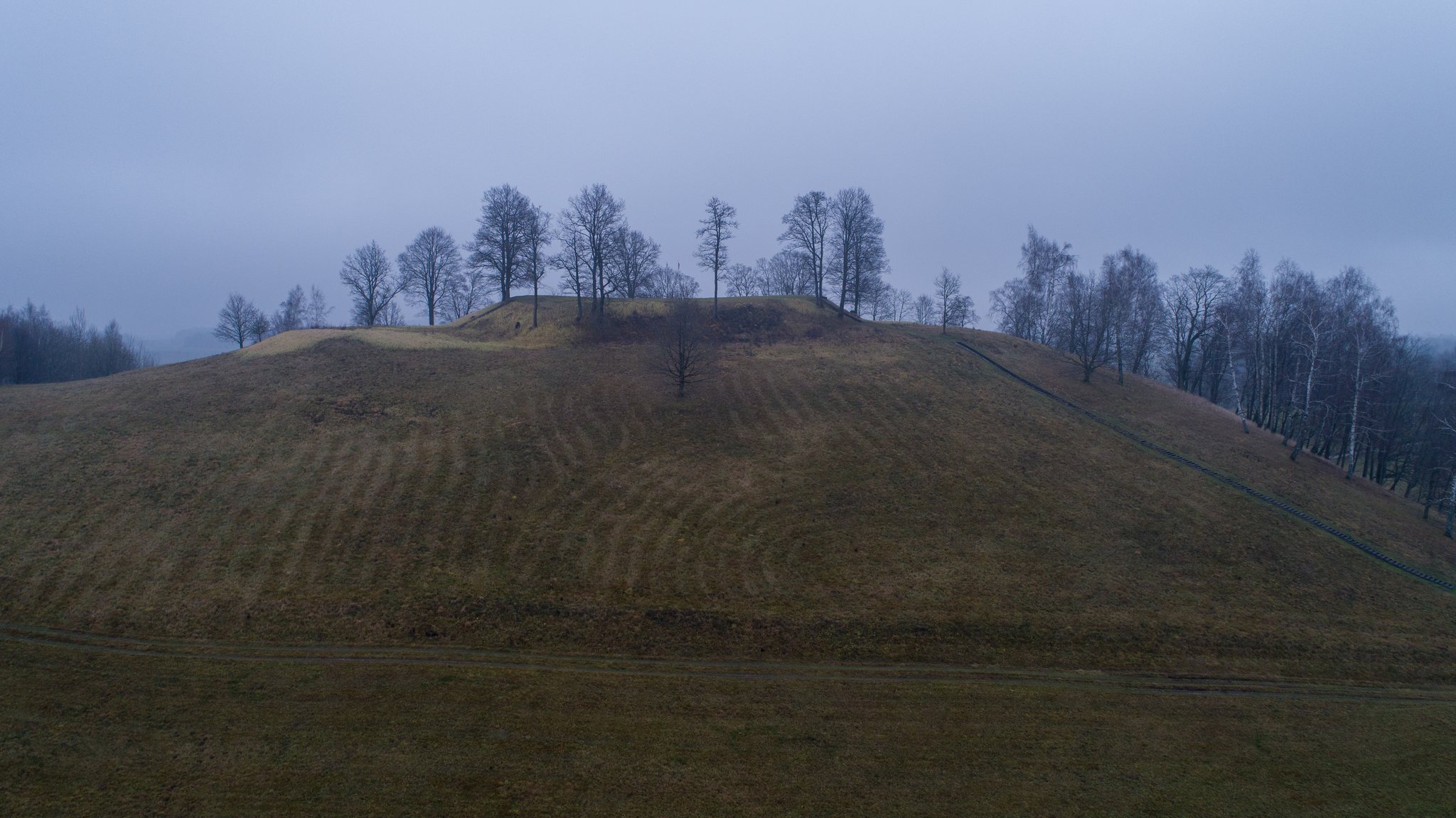
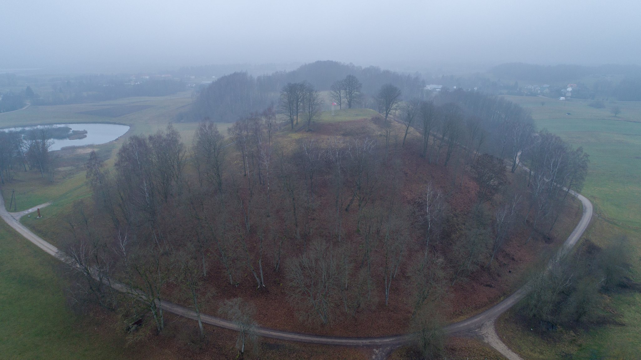
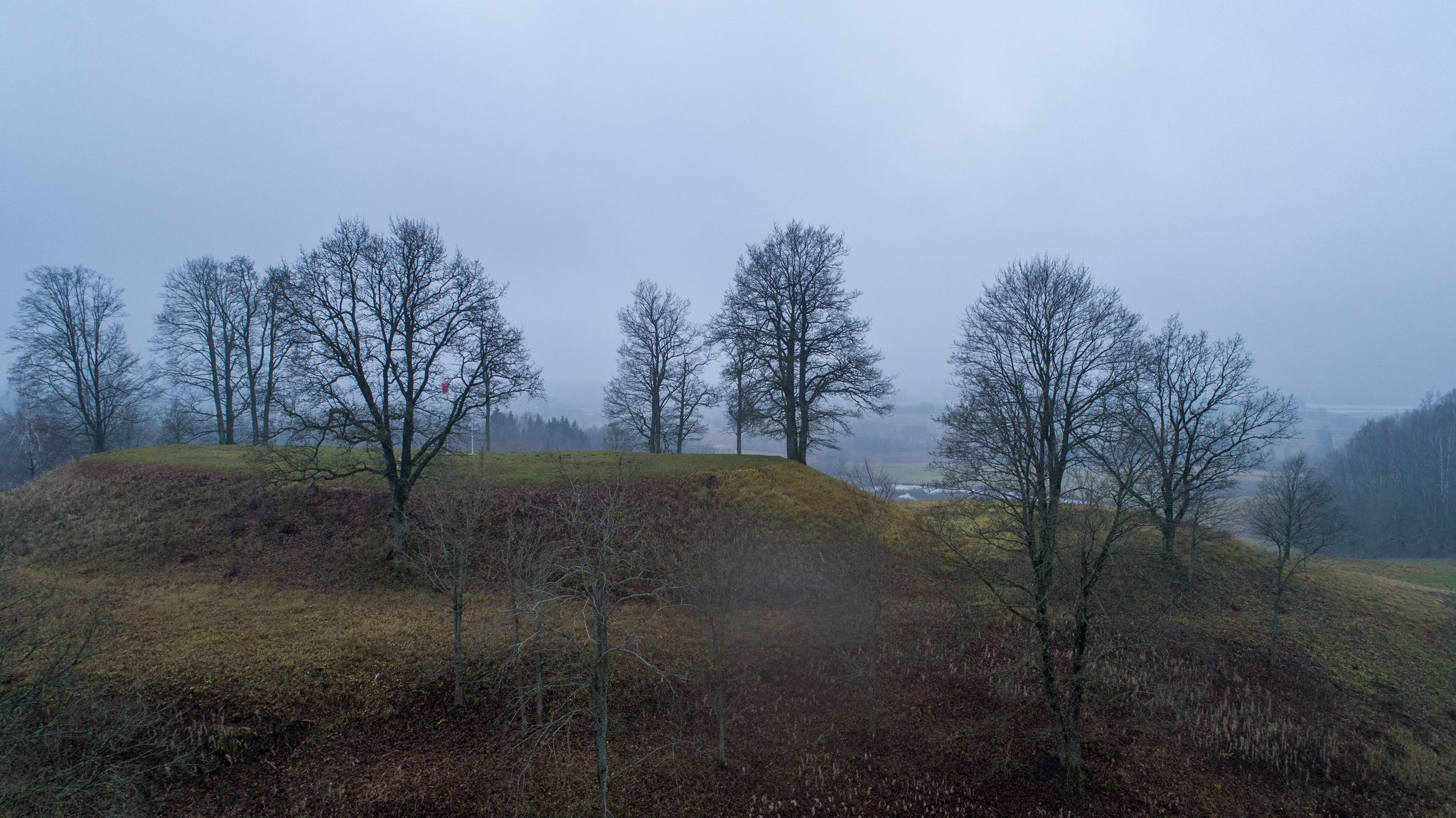
Biloniai occupies a separate large hill surrounded by forests and wetlands. Its hilltop enclosure is oval and elongated along a northwest-southeast axis, measuring 57 by 37 metres. The profile of the hill resembles two rounded-corner pyramids placed one above the other. As many as five lines of fortification once enclosed the site, although only slight traces survive.
The edges of the hilltop were protected by a rampart whose surviving raised margins reach up to 1 metre high. Steep slopes descend 4 to 5 metres from the enclosure to a terrace. This terrace is 11 metres wide on the northern side and 17 metres wide on the eastern side.
Terraces and Outer Defences
On the northwest slope, 3 metres below the first terrace, a second terrace extends for 8 metres in width. Comparable traces were still visible on other slopes at the beginning of the twentieth century. A third terrace lies 3 metres below the second and is 16 metres wide.
The outer edge of the third terrace rises 3 metres above a ditch that is 5 metres wide and 1.5 metres deep. Beyond the ditch stands an 8-metre-wide rampart, whose outer slope reaches 1 metre in height. The hillfort’s steep slopes descend 20 to 25 metres, strengthening the natural defences of the elevated enclosure.
Associated Features and Present Condition
A hill immediately west of the main fortification contains visible traces of artificial shaping, suggesting an associated formed feature or earthwork. Ponds lie at the southern foot of the hillfort, and the hillfort of Padievytis is visible on the horizon. Forests and wetlands border the site.
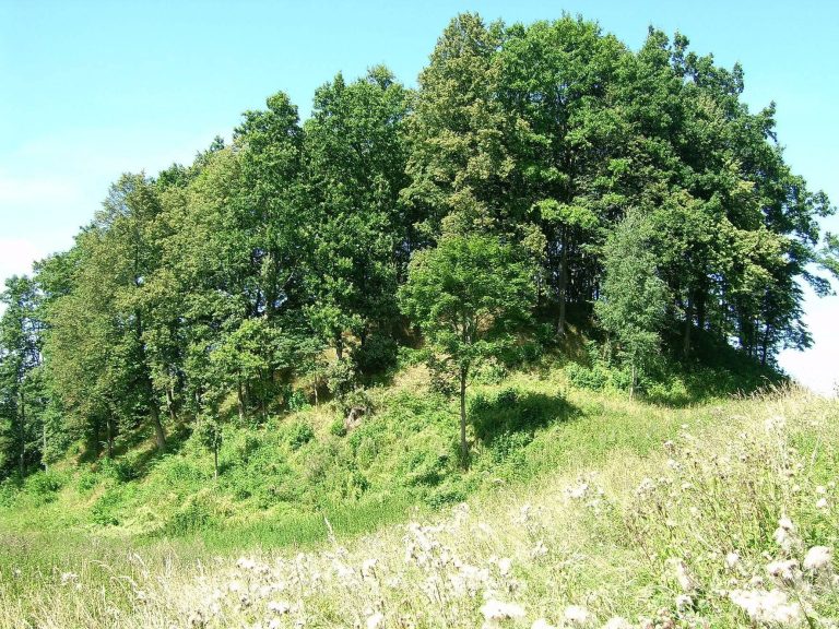
Ploughing has heavily damaged the hillfort, while the surviving earthworks are now covered by grassland. Low-value trees and shrubs were cleared to make the forms of the monument easier to discern, and deciduous trees remain on the northern slope.