Kawachi Kokubun-ji Temple: A Provincial Buddhist Monastery in Japan
Site at a Glance
- Rating
- 3.3
- Popularity
- Very Low
- Country
- Japan
- Primary era
- Medieval
- External website
- Open
- Eras represented
- Medieval
- Civilizations
- Unclassified
- Site type
- Religious
- Remains
- Monastery
On this page8 sections
History
Kawachi Kokubun-ji Temple is an eighth-century provincial Buddhist monastery in Kashiwara, Japan, associated with the kokubunji system promoted by Emperor Shomu. A kokubunji was a monastery established in each province under the emperor’s 741 edict, which used Buddhist institutions to support religion and strengthen centralized rule. The temple’s construction date is unknown, but archaeological evidence places it around the middle of the eighth century.
Foundation in the Nara period
The monastery stood in former Kawachi Province, in Shimo Township of Asuka District. Its roof tiles resemble material from the presumed Takeharaitonomiya palace site on the opposite bank of the Yamato River. That location is associated with Emperor Shomu’s lodging and related facilities, and its tiles appear slightly earlier. This sequence has led to the interpretation that the monastery followed the creation of imperial facilities in the area.
The presumed Kawachi provincial government was about 4 kilometers northwest of the monastery, while the associated provincial nunnery was about 900 meters west. The nunnery was the corresponding institution for Buddhist women. The relationship between the monastery and these nearby administrative and religious centers remains an important part of the site’s archaeological interpretation.
Medieval records and later decline
The Engishiki, a tenth-century compilation of regulations and administrative procedures, assigned the monastery an annual allocation of 10,000 bundles of rice. Other records show that Kawachi Kokubun-ji held land in Ikeda Township, Izumi Province, in 1109. In 1111, a monk of To-ji, a major Shingon temple in Kyoto, received renewed appointment as lecturer of Kawachi Kokubun-ji.
Medieval documents connect the institution with several names and temple relationships. An early Kamakura-period account mentions Kokubun-ji, while a document from 1207 describes a branch temple in Kawachi Province called Tokuzen-ji. Another document from 1345 may refer to the institution, and a 1394 land register lists more than 25 cho of fields belonging to Kokubun-ji within the holdings of Sairin-ji. The precise nature of these institutional connections is uncertain.
The temple appears to have been abandoned at an early date. By the Edo period, its location had been forgotten, and later searches associated the name with a site marked by several local place-names and a Jizo hall. That location lies about 1.1 kilometers northeast of the archaeological ruins and is separate from them.
Rediscovery and archaeological investigation
The ruins were long known as the Higanjo abandoned temple or Tonomoto abandoned temple. Archaeological work in 1934 and 1935 identified the pagoda site. In 1970, an excavation by the Osaka Prefectural Board of Education exposed the pagoda platform and a feature that was first considered a possible central gate, prompting the identification of the ruins as Kawachi Kokubun-ji.
Further investigations by Kashiwara municipal authorities took place in 1984, 1990, 1998, and 2000. Excavations to establish the site’s extent between 2006 and 2008 suggested that the feature formerly interpreted as the central gate might instead be the main hall. The complete size and arrangement of the ancient compound therefore remain uncertain.
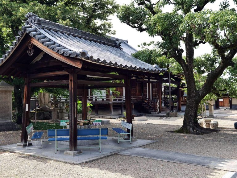
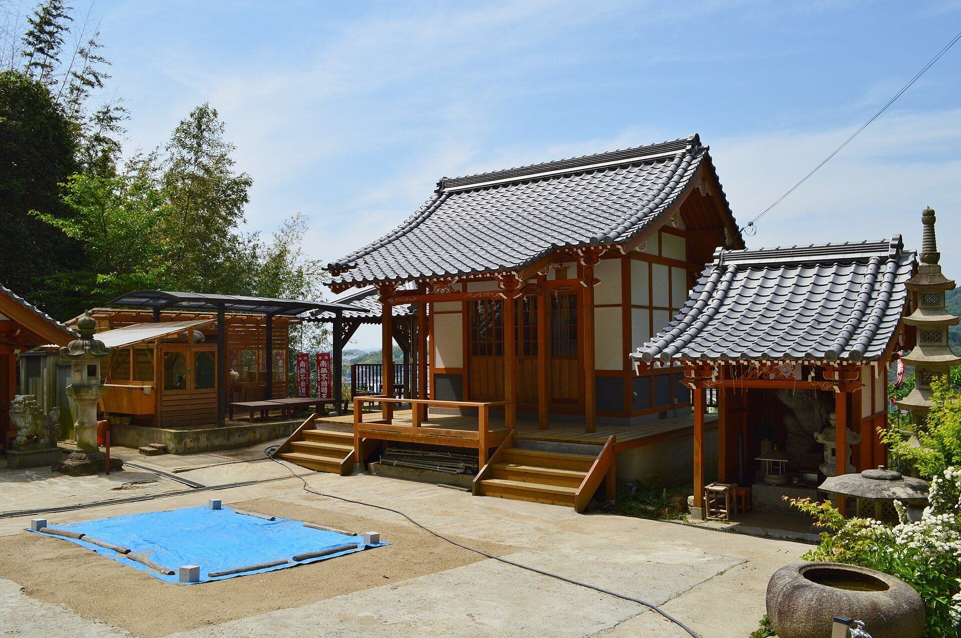
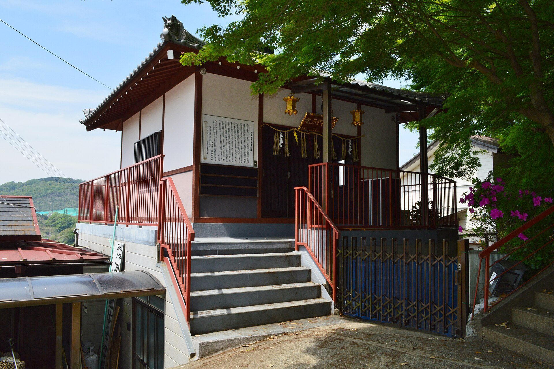
In 2009, a modern Shingon Buddhist Kawachi Kokubun-ji was established near the pagoda ruins on the basis of the existing Koyasan Shingon Buddhist Kokubun-ji. It is a separate institution from the ancient monastery. Eleven excavated roof-tile end pieces were designated an Osaka Prefectural Tangible Cultural Property on March 31, 1977. The pagoda remains have also been arranged as a historical park.
Remains
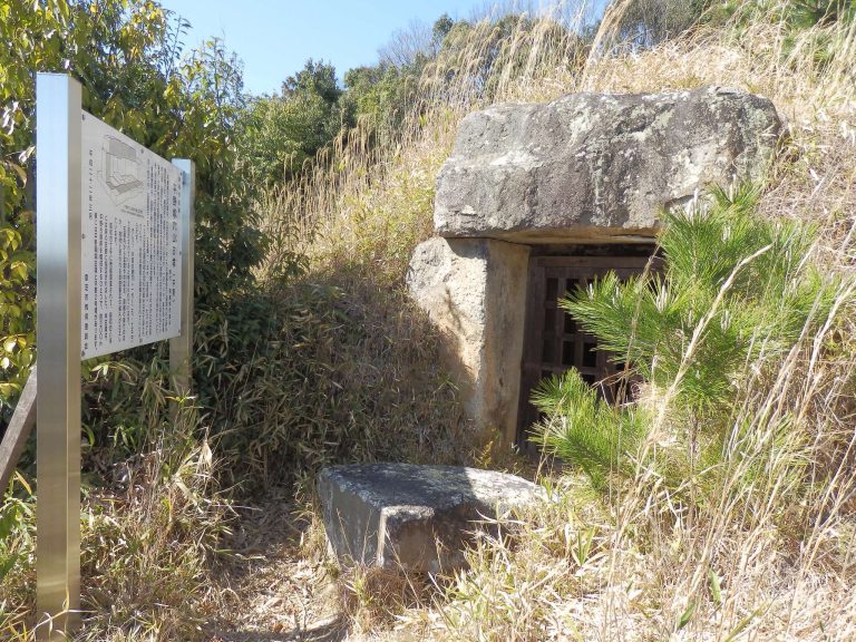
The ruins occupy the left bank of the Yamato River on a plateau extending north from the Myojin Mountains along the Osaka and Nara border. Steep ground leaves only a narrow level area for the presumed precinct, unlike the broad compounds often associated with provincial monasteries. Excavation has identified a pagoda and a probable main hall, but the boundaries and complete layout of the temple remain unresolved.
Pagoda platform
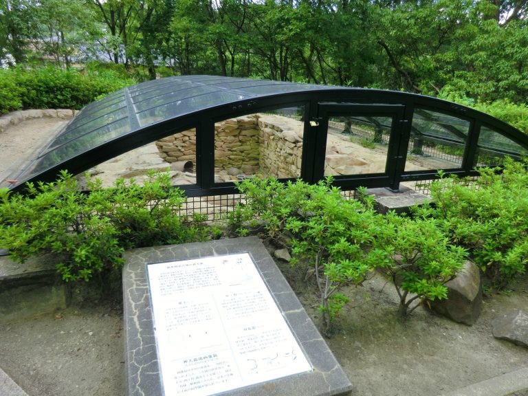
The principal surviving structure is a square pagoda platform measuring about 19 meters on each side and 1.54 meters high. Cut tuff, a relatively soft volcanic rock that can be shaped into blocks, forms the platform. Each side has six steps, while the upper surface is made from square tuff blocks arranged in a diagonal lattice.
Six foundation stones remain on the platform, including the central stone. The building placed above them is estimated to have measured 10.36 meters square, and the platform is considered to have supported a large seven-story pagoda. The surviving platform and foundation stones provide the clearest physical evidence for the monastery’s monumental construction.
Roof tiles and earlier activity
Excavated roof tiles represent both the main phase of the provincial monastery and an earlier period of activity. The main group includes mid-eighth-century round roof-edge tiles in the style of Heijo Palace, decorated with double-petaled, seven-leaf lotus designs. Other round roof-edge tiles carry balanced arabesque patterns known as Aoya-style tiles.
Aoya-style tiles are also associated with the presumed Takeharaitonomiya site. Their production kiln was identified near the outer embankment of the Konda Gobyoyama burial mound, close to the presumed Kawachi provincial-government site. Earlier tiles from the monastery area belong to traditions associated with Kataoka Prince, Oka-dera, and Yakushi-ji, and date from the Hakuhō period through the first half of the Nara period.
Eleven tile end pieces from the pagoda area comprise four round-eave pieces in three designs and seven flat-eave pieces in three designs. They are preserved at the Kashiwara Municipal History Museum. Together with the broader collection of tiles, they indicate successive building activity and support the relationship proposed between the monastery and earlier imperial facilities across the river.
Presumed provincial nunnery area
The presumed Kawachi kokubun nunnery site lies west of the monastery in an area containing a cadastral place-name meaning “nunnery temple.” Nara-period roof tiles have been found there, and its round-eave tiles resemble the earlier tiles from the monastery. The Aoya-style tiles characteristic of the monastery’s main phase have not been found in this area. Investigations have helped define the archaeological setting, while the nunnery’s precise location and layout remain uncertain.