Hadrian’s Wall Path: A National Trail Along Rome’s Northern Frontier


Site at a Glance
- Rating
- 4.6
- Popularity
- Very Low
- Country
- United Kingdom
- Primary era
- Classical
- External website
- Open
- Eras represented
- Classical
- Civilizations
- Roman
- Site type
- Military
- Remains
- Wall
On this page14 sections
History
Hadrian’s Wall Path is an 84-mile (135 km) National Trail in northern England, United Kingdom, following or closely paralleling the Roman frontier known as Hadrian’s Wall. The Wall was built under the emperor Hadrian, who ruled from AD 117 to 138, around AD 122 to 127 to defend the northern boundary of the Roman Empire. The path runs from Segedunum Roman Fort at Wallsend to Bowness-on-Solway, linking the eastern and western ends of the Wall.
Roman frontier
Hadrian’s Wall formed part of the Roman military frontier in Roman Britain, the province that covered much of Great Britain from the Roman conquest until the early fifth century. Its forts, milecastles, roads, and associated earthworks controlled movement across the northern frontier and supported the soldiers and communities living along it.
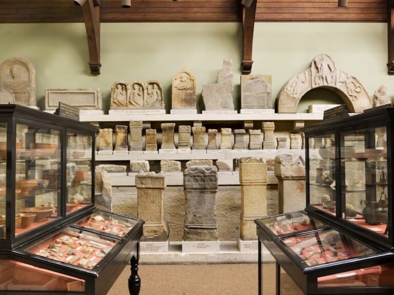
Several excavated forts now provide evidence for life in Roman Britain. These include Segedunum, Chesters, Housesteads, Vindolanda, and Birdoswald. Museums associated with the Roman remains interpret the buildings, objects, and settlements connected with the frontier. Vindolanda was established beside the Stanegate, a Roman road in northern Britain, before or during the period when Hadrian’s Wall was built.
Development of the trail
The modern route became England and Wales’s fifteenth National Trail in 2003. A National Trail is a designated long-distance walking route, generally marked and managed for recreational access. Its historical character comes from its close relationship with the Wall, although conservation measures mean that the path usually avoids the crest of the surviving masonry.
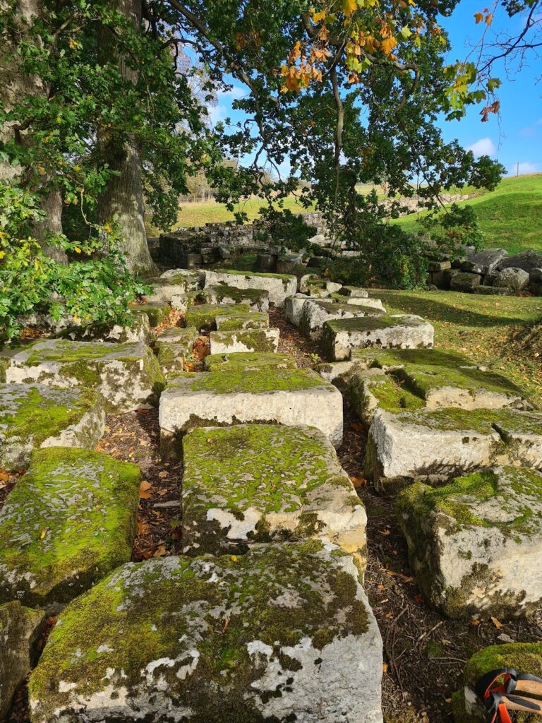
A short exception occurs near Housesteads, where a roughly 150-metre Public Right of Way passes through a small wood on the Whin Sill and follows the Wall itself. The Whin Sill is a resistant sheet of igneous rock that forms the escarpment followed by parts of the Roman frontier. The Pennine Way branches north near Milecastle 37 and later meets Hadrian’s Wall Path again near Greenhead.
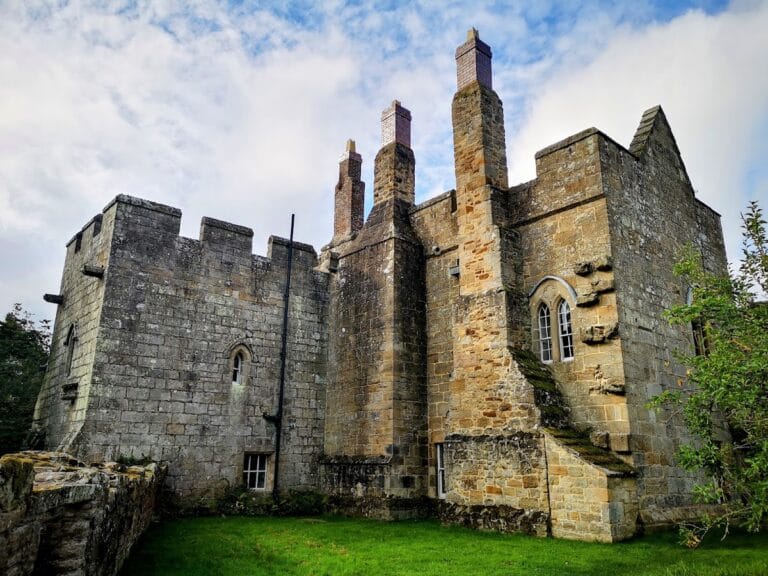
The Wall also influenced later buildings in the surrounding landscape. Lanercost Priory, south of the route near Walton, was built partly with stone taken from the Roman frontier. Today, Hadrian’s Wall forms part of the Frontiers of the Roman Empire UNESCO World Heritage Site, a designation covering major surviving frontier systems of the Roman Empire.
Remains
Eastern route and river landscape
Wallsend to Heddon-on-the-Wall
The easternmost section extends for about 15 miles (24 km) from Wallsend to Heddon-on-the-Wall. It begins at Segedunum Roman Fort and Museum, where the excavated fort remains establish the eastern historical setting of the Wall. A full-scale reconstructed bathhouse and a museum form part of the surviving interpretation of the fort. From there, the path crosses urban Newcastle and follows the River Tyne before entering open countryside, where occasional remains of the Wall can be seen.
Heddon-on-the-Wall to Chollerford
For approximately 15.5 miles (25 km), the route continues through open countryside. The Vallum, a substantial linear earthwork generally located south of Hadrian’s Wall, is frequently visible beside the route. It formed part of the broader frontier installation rather than being the stone Wall itself.
Central forts and the Whin Sill
Chollerford to Steel Rigg
This roughly 12-mile (19 km) section rises from farmland into moorland and follows stretches beside crags. Chesters Roman Fort lies near its beginning, while Housesteads Roman Fort stands farther along the route. The path reaches the Whin Sill escarpment, where the frontier landscape includes Peel Crags, Crag Lough, the Sycamore Gap Tree, and Milecastle 39, also known as Castle Nick.
Housesteads is the best-preserved of the Roman forts along Hadrian’s Wall. Excavation has exposed several types of fort buildings, and the surviving structures have been extensively consolidated. Vindolanda lies farther south beside the Stanegate and has an on-site museum displaying archaeological objects from the Roman settlement.
Steel Rigg to Walton
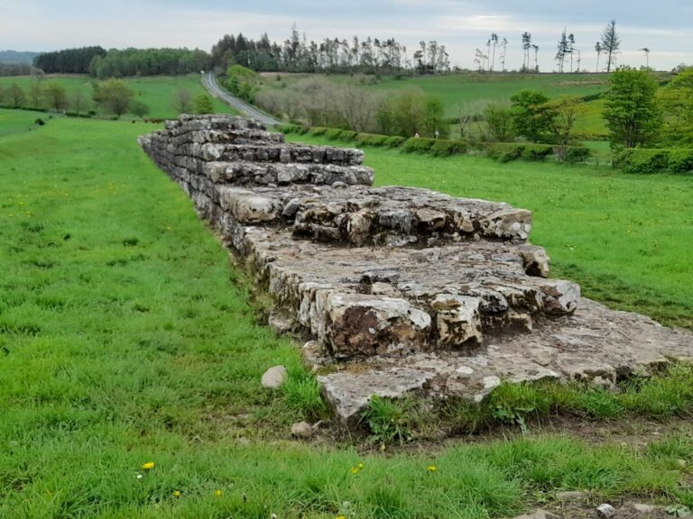
The route covers about 16.25 miles (26 km) between Steel Rigg and Walton, crossing open countryside where the Wall appears intermittently. Birdoswald Roman Fort stands beside the longest continuous surviving stretch of Hadrian’s Wall and has an associated museum. This central landscape contains several important Roman forts and is where the Wall remains most visible along the route.
Western route and the Solway
Walton to Carlisle
Between Walton and Carlisle, the path runs for about 11 miles (18 km). It returns to farmland, crosses the M6 motorway, follows part of the River Eden, passes through a park, and crosses a large footbridge. The route’s physical setting therefore shifts from the elevated central frontier landscape to river and agricultural terrain.
Carlisle to Bowness-on-Solway
The final section covers about 14.75 miles (24 km). For much of this distance, the path follows the River Eden or the Solway Firth, moving through the landscape of the Solway salt marshes. The Wall is no longer visible along this western section, but the route continues to Bowness-on-Solway at the frontier’s western end.
Terrain and surviving fabric
Hadrian’s Wall Path crosses urban areas and suburbs around Newcastle upon Tyne and Carlisle, as well as open farmland, remote countryside, moorland, rugged borderlands, and coastal marshes. Its highest point is approximately 345 metres (1,132 feet) at Whinshields Crags. Much of the route is relatively flat, although the 23-mile (37 km) stretch between Chollerford and Birdoswald includes numerous short climbs and descents.
The trail is clearly marked, while its ground can become muddy in wet weather. Its physical character varies greatly because only some sections of the Wall survive above ground. River Tyne bridges, excavated forts, the Whin Sill escarpment, the associated earthworks, and the Solway marshes together form the principal surviving features and landscapes connected with the route.