Tōmizuka Kofun: A Keyhole-Shaped Burial Mound in Sendai, Japan
Site at a Glance
- Rating
- 3.8
- Popularity
- Low
- Country
- Japan
- Primary era
- Classical
- External website
- Open
- Eras represented
- Classical
- Civilizations
- Yamato
- Site type
- Burial
- Remains
- Burial Mound
On this page10 sections
History
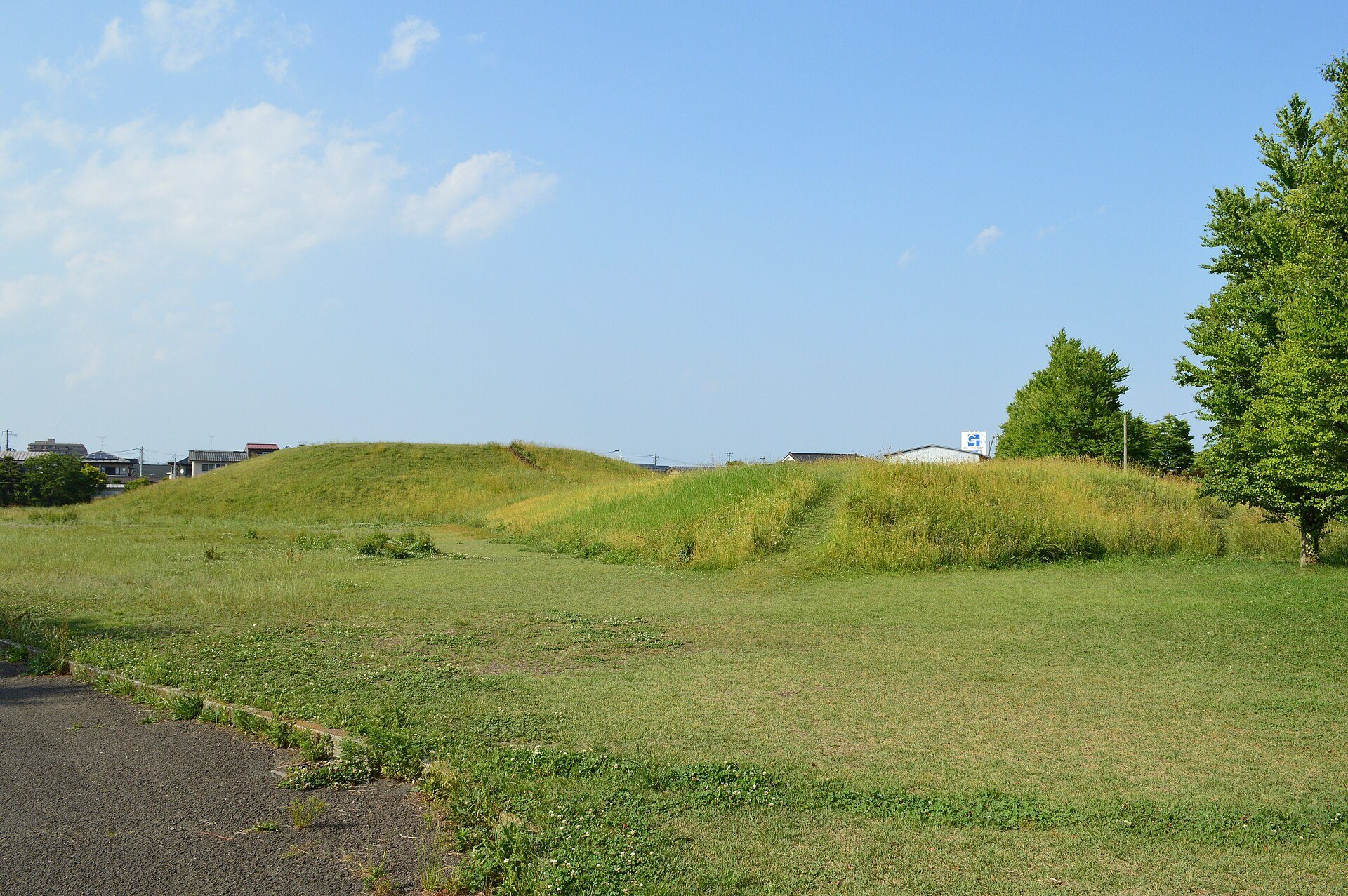
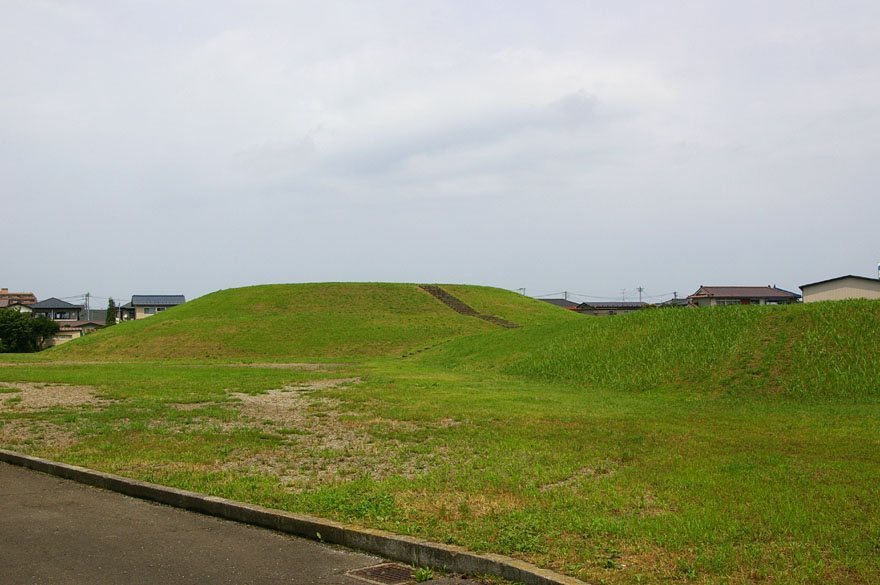
Tōmizuka Kofun is a keyhole-shaped kofun, a monumental Japanese burial mound, in Sendai, Japan. Built around the late fourth to early fifth century during the middle Kofun period, it is regarded as the tomb of a powerful regional ruler or rulers of the Miyagi Plain. Its scale makes it the second-largest kofun in Miyagi Prefecture, after Raijinyama Kofun, and the fifth-largest in the Tohoku region. It is also among the northernmost large keyhole-shaped burial mounds.
The Sendai Plain and regional power
The Sendai Plain contains settlements dating from the Yayoi through the Kofun period, including the Minami-Koizumi settlement site. Tōmizuka Kofun was built on the northern bank of the Hirose River, while Raijinyama Kofun stands about 10 kilometers to the south, across the Hirose and Natori rivers.
The relationship between the two great burial mounds remains unresolved. If Tōmizuka was built first, it may have marked the burial of a ruler who controlled the Sendai Plain before Raijinyama was constructed. If Raijinyama was earlier or contemporary, Tōmizuka may instead have belonged to a ruler subordinate to the authority represented by that mound.
Damage, investigation, and preservation
The mound was excavated in 1968, and the Sendai City Board of Education carried out a confirmation survey in 1975 during environmental improvements and plans to develop the site as a park. At another stage, the mound was used for cultivation. In 1947, soil was removed from it to expand Kasuminome Air Field during the American occupation of Japan, destroying about half of the rear circular section. National Route 4 later crossed the front part and truncated part of the site.
Tōmizuka Kofun and most of its surrounding moat became a National Historic Site on 8 November 1968. The protected area was expanded on 14 March 1980 to include land west of the rear mound. The surviving remains were subsequently preserved within a public park. Pottery found outside the mound indicates that rituals may have continued at the location until around the seventh century, although their connection with the kofun is uncertain. Excavated objects are preserved at the adjacent Tōmizuka Elementary School.
Remains
Tōmizuka Kofun occupies a natural embankment about 10 meters above sea level. Its mound is about 110 meters long and combines a circular rear section with a square front section, forming the keyhole plan. The front faces south. An irregular moat surrounded the mound, with its width varying from about 10 meters to more than 40 meters. The surviving mound and most of the moat lie within the public park.
Mound and moat
Rear circular section
The rear circular section measures approximately 63 meters across and rises about 6.5 meters. It was built in two stages. A burial pit several meters wide on each side and about 1.5 meters deep was cut into this section. The surviving form was affected by the removal of soil in 1947.
Square front section
The square front section is about 37 meters wide and 2.5 meters high. Its low profile contrasts with the much taller rear section. National Route 4 crosses this part of the mound, truncating a portion of the front area.
Burial chambers and excavated objects
Clay burial chambers
Two clay burial chambers were placed parallel to the mound’s main axis, running from east to west. Each was probably built around a split-bamboo-shaped wooden coffin. Drainage channels at the southern ends carried water from west to east. The upper surface of the burial pit was covered by a square earthen mound.
Burial goods and pottery
Objects recovered from the eastern chamber include four small beads, one tubular bead, and 20 vertical combs. Fragments of Haji ware, an unglazed earthenware made in ancient Japan, were found outside the mound. A 1977 investigation also identified bottom-perforated, red-painted Haji ware belonging to the Shiogama-style phase around the clay chambers. These pottery finds helped establish the mound’s late-fourth- to early-fifth-century date.