Baba: A Prehistoric Fortified Settlement in Czechia
Site at a Glance
- Rating
- 4.7
- Popularity
- Low
- Country
- Czechia
- Primary era
- Bronze Age
- External website
- Open
- Eras represented
- Bronze Age
- Civilizations
- Unclassified
- Site type
- Military
- Remains
- Wall
On this page9 sections
History
Baba is a prehistoric fortified settlement in Czechia, located on Baba Hill above the left bank of the Vltava near Hluboká nad Vltavou. It was occupied during two phases, the later Early Bronze Age, around 2000–1600 BC, and the Late Bronze Age, around 1000–800 BC. The earlier phase is associated with the Věteřov group, while the later occupation belonged to the Štítary culture.
Early Bronze Age occupation
During the Early Bronze Age, Baba stood in a densely settled landscape beside a presumed trade route along the Vltava. A flat settlement near Křesín in Hluboká nad Vltavou lay nearby. The relationship between Baba and the hillfort at Hradec near Dobřejovice, approximately 2.5 kilometres away on the opposite riverbank, remains uncertain. They may have been occupied at the same time, or one may have replaced the other. If they were contemporary, Baba may have controlled the river and route, while Hradec may have served as a ruler’s residence or a sacral centre, a place associated with religious or ritual activity.
Late Bronze Age occupation
By the Late Bronze Age, Baba was an isolated fortified point in a more sparsely settled landscape. The nearest known settlement of this period was near Tuchonice, and the nearest fortified hilltop settlement was at Dívčí Kámen. The site’s position above the Vltava continued to give it strategic value.
Investigation and protection
The first written record of Baba dates from 1883, when Jan Nepomuk Woldřich published the results of investigations into its fortifications carried out in the preceding years with Jan Adolf II of Schwarzenberg. Bedřich Dubský studied the site in 1945, followed by Josef Maličký in 1946. A modern survey in 2005 produced a new plan and included limited investigation near an uprooted tree, confirming the two occupation phases. Baba has been protected as a cultural monument since 1963.
Remains
The fortified settlement occupies the end of a long slope that rises eastward, approximately 70 metres above the Vltava. Its eastern edge descends steeply toward the river, while two roughly parallel, bow-shaped lines of ditches and ramparts enclose the other sides. Together, the earthworks surround about 2.65 hectares. Between the two defensive lines is a bow-shaped platform 10–15 metres wide and covering approximately 0.41 hectares. Small rises along its edges were once interpreted incorrectly as two additional ramparts.
Outer earthworks
Outer rampart
The outer rampart extends for about 380 metres and has a sloping height of approximately 6–9 metres. A ditch behind it measures 5–8 metres across. The original form of the rampart remains uncertain. Nineteenth-century investigations identified a 1.2-metre-thick layer of fired earth in one part of it, although Bedřich Dubský did not find the same layer elsewhere in the fortifications.
Inner rampart
The second fortification line lies beyond the intervening platform. Its rampart crest is 40–45 metres from the outer rampart, and a ditch 5–6 metres wide lies in front of it. The inner rampart is approximately 255 metres long. The original entrance probably stood in the southern part of the enclosure.
Setting and surviving condition
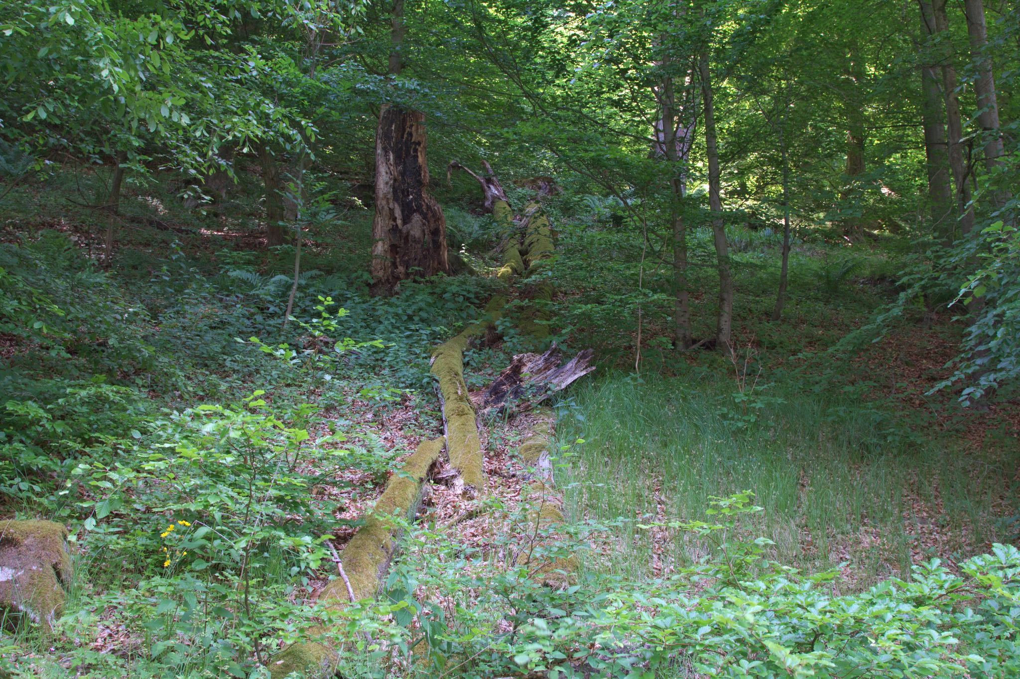
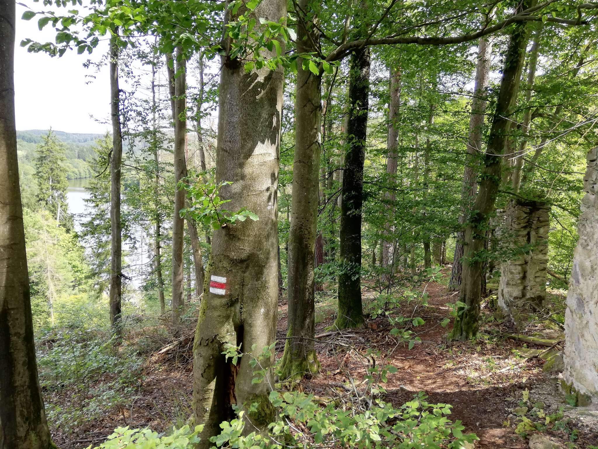
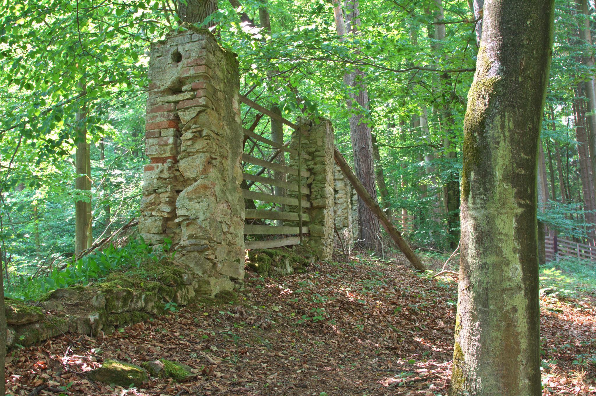
The fortifications are interrupted in the northwest by a modern timber-hauling road. Their eastern ends were damaged when a boundary wall for the game reserve was built. The eastern part of the platform, formerly outside the reserve, has disappeared, probably through stone quarrying or erosion. Baba lies within Stará obora beside a steep slope of the Vltava valley, in a wooded area dominated by oak with beech and lime.
The bedrock consists of muscovite-biotite orthogneiss, a metamorphic rock formed from earlier igneous rock, with brown soil above it. The Vltava was the settlement’s main water source. A prominent rock formation lies to the east, separated from Baba by a saddle about 50 metres wide.