Mežotne Hillfort: A Semigallian Stronghold in Latvia
Site at a Glance
- Rating
- 4.7
- Popularity
- Low
- Country
- Latvia
- Primary era
- Medieval
- External website
- Open
- Eras represented
- Medieval
- Civilizations
- Unclassified
- Site type
- Military
- Remains
- Fortified Town
On this page11 sections
History
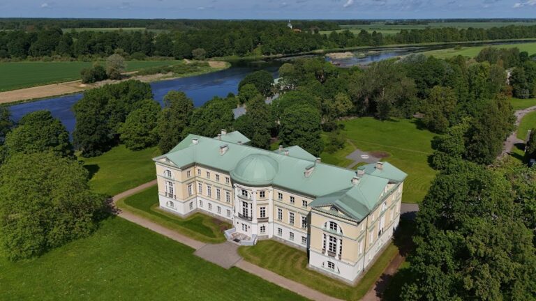
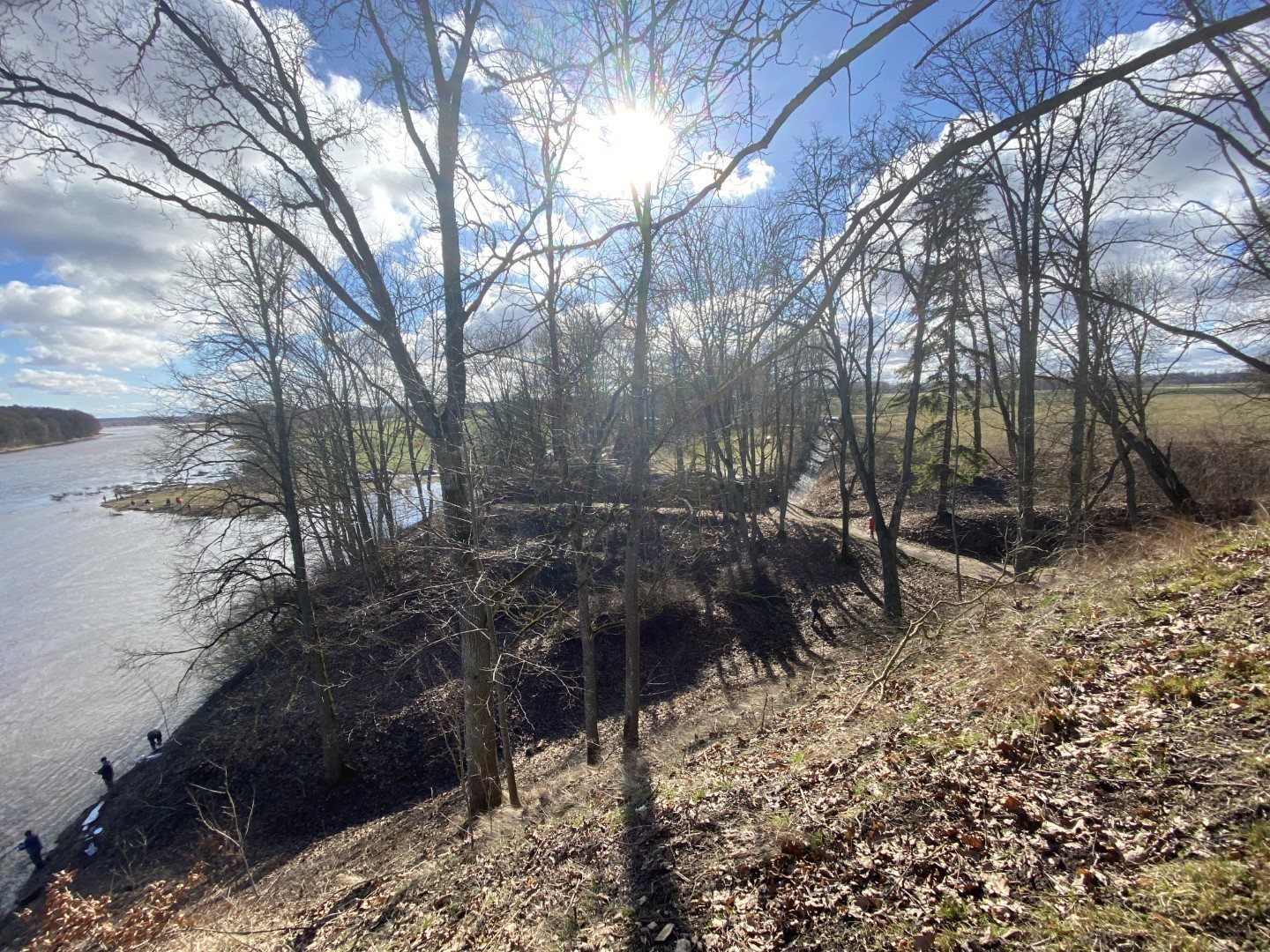
Mežotne hillfort is a fortified Semigallian settlement in Latvia, occupied from the ninth to the thirteenth century and associated with a cultural layer that continued into the fourteenth century. Also known as Viestura Hill and recorded in Latin-script sources as castrum Mesiothe, it stood on an elevated promontory beside the Lielupe and became the principal centre of the Semigallian region of Upmale by the thirteenth century.
Semigallian centre
Ten cultural layers have been identified at Mežotne, reflecting repeated occupation, construction, destruction, and rebuilding. A proposal connects the hillfort with a place shown on the mid-twelfth-century world map of the Arab geographer and cartographer al-Idrisi, although that identification remains uncertain. The settlement nevertheless occupied an important position within Semigallian territory, which extended across parts of present-day Latvia and Lithuania.
Crusader conquest
In 1219, a crusader garrison was installed at Mežotne during the expansion of Latin Christian rule in Livonia. The Semigallian leader Vesthard attacked the hillfort and later ambushed a relief force approaching along the Lielupe, killing 30 men and driving the survivors into flight. Poor supplies led the garrison to abandon the position. The local Semigallians then rejected their agreement with Albert of Riga, the bishop who led the establishment of the bishopric of Riga, and joined other Semigallians and Lithuanians.
In 1220, an army of about 8,000 Germans, Livs, Latgalians, crusaders, and men serving the bishop and the military order besieged Mežotne. The defenders surrendered, after which the hillfort was captured, plundered, and burned. This destruction marked a major change in the settlement’s political history.
Episcopal and Livonian Order control
In 1225, the administrative centre of the Selonia Bishopric, a territorial district governed by a bishop, was transferred from Sēlpils to Mežotne. The bishopric was renamed the Zemgale Bishopric in 1226. In 1232, Mežotne became the residence of Provost Heidenrik and the chapter, the body of senior clergy associated with the bishopric.
In 1242, the papal legate William of Modena granted Mežotne Castle to the Livonian Order, a Catholic military order that controlled territory in medieval Livonia. Under the agreement of 1254 dividing the Upmale district, the order received Mežotne hillfort and the lands on the left bank of the Lielupe as far as Garā Sala, near present-day Jelgava.
Uprising and destruction
An uprising began at Mežotne in 1259, and the hillfort returned to the exclusive control of the local Semigallians. Around 1270–1272, the Livonian Order attacked with crusaders and regional auxiliaries. The Semigallians surrendered without a battle, and the order destroyed the hillfort. Much of the ancient settlement’s population moved into territories controlled by the Grand Duchy of Lithuania.
By 1321, the Livonian Order had built a new wooden castle at Mežotne under Master Gerhard von Jorke. Grand Duke Algirdas of Lithuania, aided by rebellious Semigallians, destroyed the castle in 1346, and it was not rebuilt. In 1567, Duke Gotthard Kettler ordered the construction of Mežotne Church north of the hillfort.
Investigation and protection
August Johann Gottfried Bielenstein gave the hillfort its first extensive description in 1892. Excavations followed under Valdemārs Ģinters from 1938 to 1940 and in 1942, under Emīlija Brīvkalne from 1948 to 1949, and under Māris Atgāzis in 1969. Small excavations in the ancient settlement were carried out under Artūrs Tomsons in 2017.
Mežotne hillfort and its ancient settlement received state protection as a cultural monument of national importance under the official name “Mežotne hillfort with ancient settlement” on 15 December 1998. The complex was declared an archaeological monument in 2017.
Remains
Promontory and fortifications
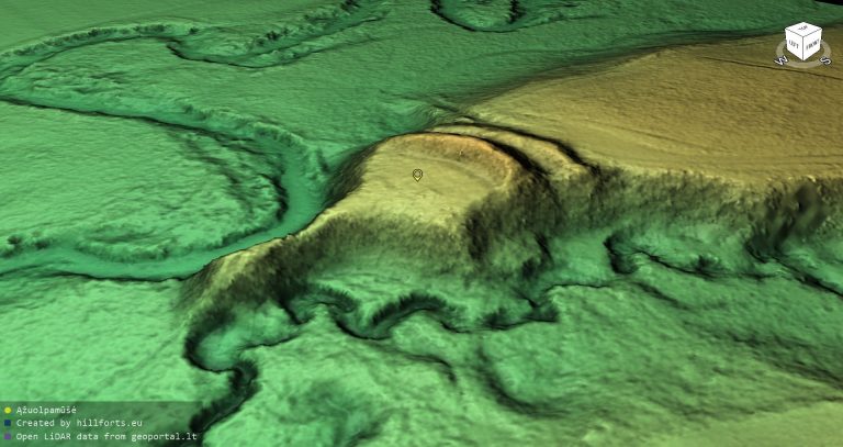
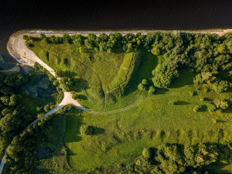
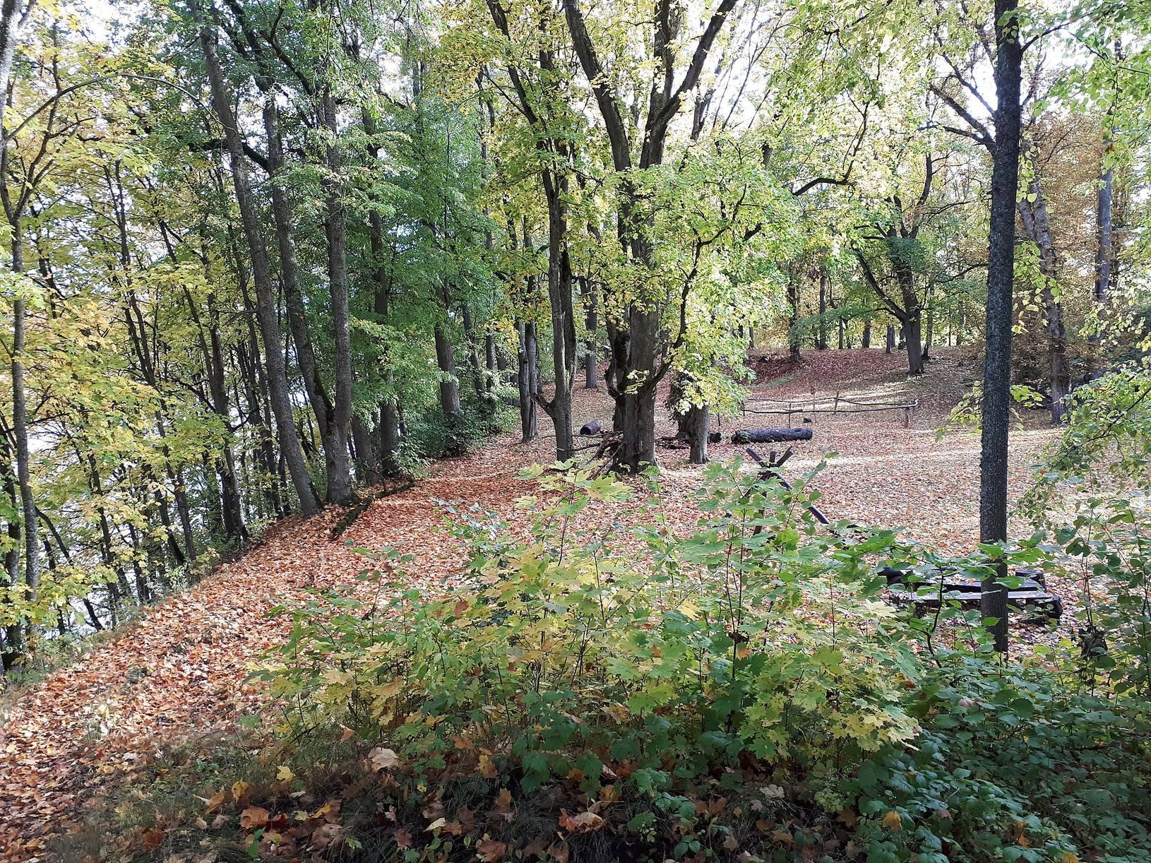
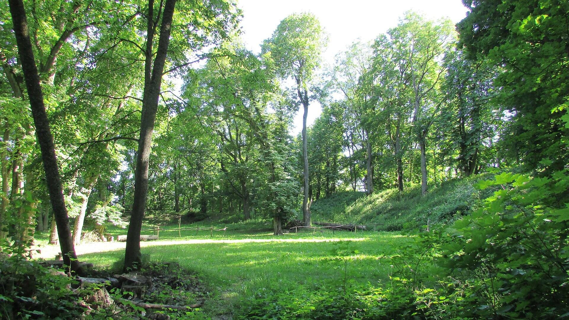
The hillfort occupies a promontory rising 16 metres above its surroundings. The steep bank of the Lielupe bounds it on the east, while a stream-cut ravine defines the northern side. Two ramparts and ditches protected the western and southern approaches. The principal rampart follows the western edge of the plateau, measures about 75 metres in length, and rises 7–8 metres. A second rampart forms a semicircle around the foot of the hillfort for about 150 metres along the southern and western sides.
The entrance climbed the western slope to an elongated plateau measuring approximately 40 by 80 metres. Its cultural layer, an archaeological deposit formed through successive occupation and rebuilding, reaches 3–4 metres in thickness. The defences were repeatedly strengthened. The main rampart grew from about 3.5 metres to 8 metres, and a thick clay layer reinforced it in the twelfth century. The hillfort was burned and rebuilt ten times.
Fortified Semigallian settlement
The plateau was densely occupied by a wooden Semigallian castle enclosed by a double defensive wall of horizontally laid logs. Excavations identified 14 buildings, including structures measuring approximately 4 by 4 metres and 8 by 6 metres. Hearths and ovens formed part of these buildings, while the settlement also contained a smithy, a bone- and antler-working workshop, a jeweller’s workshop, and a mill. Together, these features show that the hillfort supported craft production as well as domestic activity.
Harbour and ancient settlement
An ancient harbour site lay on the Lielupe at the foot of the hillfort’s southeastern fortifications. The wider ancient settlement extended north, west, and southwest of the hillfort across approximately 13 hectares. It dates mainly from the eleventh to the thirteenth century, and its cultural layer reaches about 2 metres in the southern part. Two cemeteries were associated with the settlement.
Vīnakalns hillfort stands south of the ancient settlement, about 100 metres from Mežotne hillfort. Bielenstein proposed that it might have been the site of the order castle destroyed by the Lithuanians in 1346, but the hillfort has not been archaeologically investigated.
Archaeological finds
More than 3,600 ceramic, metal, amber, and other artefacts and finds were recovered during excavations. Brushed-pottery fragments point to activity during the first millennium BC, while a Late Paleolithic arrowhead provides evidence of an earlier human presence in the area. The excavated layers and objects illuminate Semigallian economy, trade, and culture from the ninth to the fourteenth century.