Tsukuriyama Ancient Burial Mound: A Kofun-Period Burial Monument in Japan


Site at a Glance
- Rating
- 4.1
- Popularity
- Low
- Country
- Japan
- Primary era
- Classical
- External website
- Open
- Eras represented
- Classical, Early Modern
- Civilizations
- Yamato
- Site type
- Burial
- Remains
- Burial Mound
On this page14 sections
History
Tsukuriyama Ancient Burial Mound is a Kofun-period burial mound in Japan, built by the people of the ancient Kibi region during the early fifth century, probably around the transition from the early to the middle fifth century. Located on the right bank of the Ashimori River in present-day Okayama, it is the largest burial mound in Okayama Prefecture and the fourth-largest in Japan. Its extraordinary scale has led to interpretations of Kibi as a powerful political authority able to oppose or match the Yamato polity, the expanding early Japanese royal authority centred in the Kinai region.
Power and Burial in Ancient Kibi
The identity of the person buried at Tsukuriyama remains unknown. The burial chamber has not been excavated, and neither archaeological evidence nor written records has established a particular occupant. The mound is therefore understood as the tomb of a leading figure who controlled the Ashimori River region, possibly a ruler of Kibi. Another interpretation identifies the burial as that of one of the Wa kings allied with Yamato.
Six nearby mounds are associated with Tsukuriyama as possible subsidiary tombs: Sakakiyama Mound, Tsukuriyama No. 2, No. 3, No. 4, Senzoku Mound, also called Tsukuriyama No. 5, and No. 6. Their dates do not all correspond to that of the main mound, so treating the entire group as subsidiary tombs may be inappropriate.
Medieval Military Reuse
The circular rear section was adapted for military purposes during the late medieval or Sengoku period, an era of prolonged warfare among rival military powers in the fifteenth and sixteenth centuries. During Toyotomi Hideyoshi’s campaign against the Mori, the Mori side is thought to have levelled the summit and established a position there. The works included an earthen rampart, two enclosures, and three vertical trenches. These changes altered the summit and affected the survival of the original burial-mound form.
Investigation and Protection
The mound has not received a full-scale academic investigation, and its interior remains unexcavated. Between 2009 and 2012, Okayama University excavated areas outside the designated historic-site boundary to establish the mound’s original scale, examine the surrounding moat, and recover material that could help date its construction. Further investigations around the mound began in 2015 as part of a long-term project.
The surrounding group of six mounds was designated collectively as a National Historic Site of Japan on March 3, 1921. The surrounding landscape has also been incorporated into Kibiji Fudoki-no-oka Prefectural Natural Park. In 2016, heavy rain caused part of the mound slope to collapse.
Remains
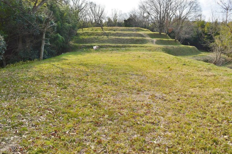
Tsukuriyama is a keyhole-shaped mound, or zenpō-kōen-fun, a characteristic Japanese form combining a rectangular front with a circular rear. Built by cutting through a hill, it measures approximately 350 to 360 metres in total length. The circular rear section rises about 29 metres and occupies an unusually large proportion of the monument. The mound was constructed in three tiers. Its slopes are thought to have been covered with fukiishi, stones used to protect and reinforce a burial mound’s surface, while three rows of cylindrical haniwa, clay funerary objects, marked its perimeter.
Front Section and Ritual Platform
Destroyed Anterior Section
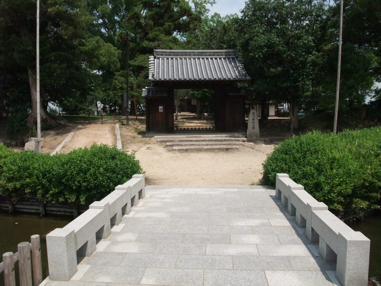
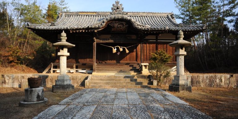
The rectangular anterior section has been destroyed, and Kōjin Shrine now occupies its former position. Beside the shrine’s bell tower stands a water basin made from the body of a hollowed long-chest-shaped stone sarcophagus carved from Aso tuff. Pieces of its lid lie behind the shrine’s right side. The sarcophagus appears to have been robbed or otherwise disturbed at an unknown date. A local tradition holds that it was moved from Shinjo Kurumazuka Mound.
Summit Platform
A large trapezoidal platform is thought to have occupied the summit of the anterior section and to have served ritual purposes after the burial in the rear section. Its lower base was approximately 70 metres long, its upper base approximately 40 metres long, and its height approximately 50 metres. A broad level space between the platform and the circular section forms an area comparable to a plaza. A projecting platform also appears to have extended from each side of the mound’s waist. The surviving left platform, probably rectangular, is slightly more than 10 metres wide, about 30 metres long, and just over 2 metres high. Its counterpart on the right has disappeared but is thought to have existed.
Rear Section and Burial Approach
Circular Summit
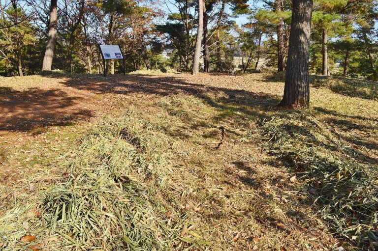
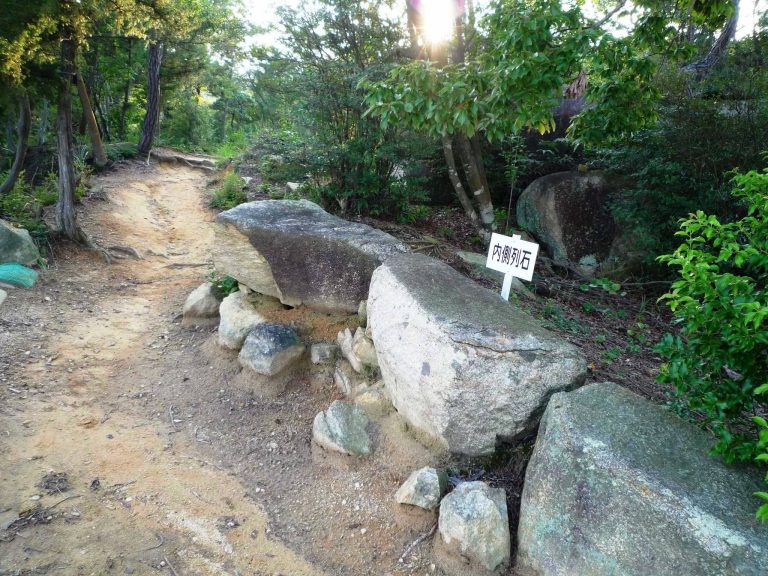
The circular rear section has a flat summit and steep sides arranged in three tiers and three slopes. The upper slope is particularly steep. A raised inclined approach to the summit and a cut passage leading toward the burial pit have been conjectured, although this area was probably remodelled when the mound became a fortified position. The summit’s military alterations include the earthen defences, enclosures, and trenches associated with its medieval reuse.
Haniwa and Surface Materials
Collected haniwa from the rear section include cylindrical examples and figurative pieces shaped as a shield bearing a geometric pattern, a quiver, a ceremonial canopy, and a house. Only a small amount of the stone surface covering remains visible, while most of the haniwa fragments exposed on the ground have been collected. The steep upper slope has been interpreted as possibly reflecting ideas of taboo or awe.
Moat and Associated Mounds
Surrounding Moat
For many years, the existence of a moat remained debated because it had not been located. Trial excavation in 2010 confirmed a moat along the eastern side of the circular section. It is estimated to have been about 20 metres wide. A settlement has formed along the southeastern edge of the mound, and the monument’s original dimensions therefore cannot yet be established with certainty.
Senzoku Mound
Senzoku Mound, or Tsukuriyama No. 5, is an unusually decorated associated mound measuring about 75 metres in length. It contains an early horizontal stone burial chamber whose stone barriers carry painted magical symbols. The chamber was robbed in antiquity, while a stone sarcophagus remains in its anterior section. In 2009, parts of the painted designs were found to be flaking because of water damage. When water was removed from the normally almost submerged chamber during an investigation in 2010, mould appeared. A preservation plan consequently called for the painted stone barriers to be removed and conserved.