Oshima Hatakeda Site: An Elite Heian-Period Residence in Japan
Site at a Glance
- Rating
- 3.7
- Popularity
- Very Low
- Country
- Japan
- Primary era
- Medieval
- External website
- Open
- Eras represented
- Medieval
- Civilizations
- Unclassified
- Site type
- Domestic
- Remains
- Elite Residence
On this page9 sections
History
Oshima Hatakeda Site is the remains of an elite Heian-period settlement and residence in Miyakonojo, Japan, built during the era of Japanese court culture conventionally dated from 794 to 1185. Its principal phase belongs to the late ninth and early tenth centuries, when the Ritsuryō system, the centralized governmental and legal order based on formal administrative codes, was changing and wealthy local clans were gaining influence in southern Kyushu.
Elite residence in the Heian period
The settlement developed through four or five building phases. The earliest structures date from the late ninth to the early tenth century, while the latest belong to around the twelfth century. The large main building, its formal four-legged gate, and the quantities of glazed and imported ceramics indicate that the site was the residence of a powerful local figure. In Heian-kyō, the imperial capital for most of the period, four-legged gates with auxiliary posts before and behind the main posts were restricted to ministers and higher-ranking officials. The gate at Oshima Hatakeda therefore reflects the status claimed by the residence.
Numerous Haji-ware cups, a generally unglazed earthenware, appear to have been used during drinking parties and discarded after banquets. They point to large gatherings at the residence. Its position near the confluence of the Ōyodo and Shonai rivers, about 300 meters from the present river channel, also suggests a connection with river transport. Together, the buildings and finds provide concrete evidence for the residences and social position of powerful local elites in southern Kyushu, particularly in the historical province of Hyūga.
Excavation and protection
The site was identified during trial investigations in 1994 and 1995, carried out before a planned agricultural land-improvement project. A confirmation survey followed in 1998, and the Miyazaki Prefectural Center for Archaeological Operations conducted a full excavation in 1999 under the Miyazaki Prefectural Board of Education. The work established that the remains formed an elite local residence centered on a large building. After consultation with the land-improvement authority, approximately 2.5 hectares containing the site were removed from the project area.
An area of 19,444.25 square meters received National Historic Site designation on March 19, 2002. A further 5,550.77 square meters was added on February 27, 2004. In 2024, the designation was expanded to include the Gunmoto Nishihara Site, and the official designation name was revised accordingly.
Remains
Layout and boundaries
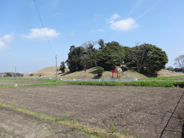
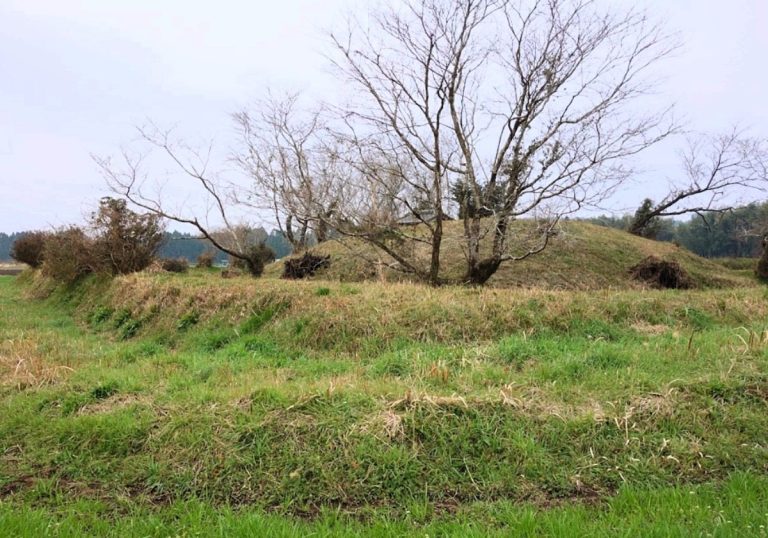
The residence occupied a slightly elevated natural rise in alluvial ground near the Ōyodo and Shonai rivers, approximately in the center of the Miyakonojō Basin. At about 133 meters above sea level, the rise stood roughly 1.5 meters above the Ōyodo floodplain to the west. The confirmed residence extended about 65 meters from north to south and at least 60 meters from east to west. The ground descended southward, placing the large building at the higher northern end, a pond-like feature farther south, and the southern edge behind a gate, two fence rows, and a boundary ditch.
A natural depression on the eastern side measures about 45 meters north to south, 30 meters east to west, and 1.4 meters deep. The remains run parallel to it, making it the eastern boundary of the residence. The western edge had been levelled, and its extent is uncertain, while the northern boundary has not been clearly established. Excavation identified 35 post-built structures, buildings supported by wooden posts set directly into holes, along with 25 investigated pits, more than 30 ditch-like features, a road-like feature, a pond-like feature, one gate, one boundary ditch, and two fence rows.
Main buildings and water feature
SB1, the principal building
SB1 stood at the northern end of the rise. Its main building had a five-bay frontage and a two-bay depth, with a bay meaning the interval between structural posts. The building measured 11.9 by 5.6 meters and had eaves on all four sides. A second line of smaller postholes probably marked subsidiary eaves or a veranda. Including this outer section, SB1 measured 20.3 by 14.3 meters and covered about 290 square meters. The postholes of the main building exceeded one meter in diameter.
The pond-like feature and SB35
South of SB1 was an artificially excavated, irregular rectangular feature measuring about 19 meters east to west and 21 meters north to south. Its identification as a pond remains uncertain because scientific investigation indicates that it may have held water only during rainy periods. Natural ground was retained at the center, creating an island-like area where numerous river stones formed a paved surface. After sediment filled the feature, a three-sided trench open to the north was dug around the original central area. The trench measured about 10 meters on each side and 2.5 meters wide.
SB35, a one-bay-square post-built structure, stood on the former central island. Its form and position suggest a religious facility, such as a small temple or shrine. The feature’s later alteration and the building on its central remnant add a religious dimension to the residence’s physical organization.
Ceramics and inscribed vessels
The excavated ceramics include Haji ware, Sue ware, green-glazed pottery, ash-glazed pottery, Yuezhou-type celadon, and white porcelain. Sue ware was a harder, kiln-fired stoneware, while the glazed wares represented higher-status ceramics. The green-glazed pottery was associated with Kyoto, and the ash-glazed pottery with the Tōkai region. Yuezhou-type celadon and white porcelain were imported luxury goods, indicating connections that extended beyond southern Kyushu.
Numerous pottery vessels also carry ink inscriptions, including examples bearing the words “spring” and “fountain.” Alongside the imported and regionally produced ceramics, these vessels help identify the residence as a place of elite gatherings, consumption, and ritual or commemorative activity.