Daisen Kofun: A Fifth-Century Keyhole Tomb in Japan


Site at a Glance
- Rating
- 4.1
- Popularity
- Low
- Country
- Japan
- Primary era
- Classical
- External website
- Open
- Eras represented
- Classical
- Civilizations
- Yamato
- Site type
- Burial
- Remains
- Burial Mound
On this page12 sections
History
Daisen Kofun is a monumental fifth-century burial mound in Sakai, Osaka, Japan, built during the Kofun period, when Japan’s ruling elite were buried in large earthen tombs. It is a south-facing keyhole-shaped tomb, a form combining a rounded rear mound with a rectangular front section and associated with the highest-ranking burials of the period. Constructed in the early to middle fifth century, probably around the middle of that century and perhaps over roughly 20 years, it became one of the principal tombs of the Mozu Kofun Group.
Construction and Imperial Identification
The person buried at Daisen Kofun is unknown. The Imperial Household Agency administers it as Mozu no Mimikara no Naka no Misasagi, the mausoleum of Emperor Nintoku, traditionally regarded as Japan’s sixteenth emperor. The identification is rooted in early historical traditions, but archaeological dating and the sequence of nearby tombs associated with Emperors Richū, Nintoku, and Hanshō have raised doubts about whether the occupant was Nintoku. At the same time, the fifth-century date has been considered compatible with the traditionally reconstructed period of his activity.
The Kojiki says that Nintoku died at the age of 83 and was buried at Mozu no Mimikara. The Nihon Shoki places his death in the first month of his eighty-seventh regnal year and his burial at Mozu no Misasagi in the tenth month of that year. The Heian-period Engishiki identifies his mausoleum as Mozu no Mimikara no Naka no Misasagi in Otori District, Izumi Province. It describes an exceptionally large precinct measuring eight chō from east to west and eight chō from north to south, with five households assigned to its maintenance. Its description of a “central mausoleum” refers to the tomb’s position between large tombs identified as those of Hanshō to the north and Richū to the south.
Cylindrical haniwa, clay funerary and boundary objects, and Sue ware, a high-fired gray ceramic of the Kofun period, date the mound’s construction. Objects from a secondary burial facility in the front section belong somewhat later, to the late fifth century, showing that activity at the tomb continued beyond its initial construction.
Local Tradition and Edo-Period Management
The tomb was already regarded locally as Nintoku’s mausoleum by the Edo period. The Sakai Kagami, written in 1684, records that Toyotomi Hideyoshi, the military ruler who unified most of Japan in the sixteenth century, frequently hunted there. The name Nintoku Tennō-ryō was therefore established in local usage, while the more archaeological name Daisenryō Kofun began to appear in 1976. Water from the surrounding pond was used to irrigate fields belonging to residents of Heshimatsu Village and neighboring Nakasuji Village. The present town name Daisen was adopted in 1929, although Goryō remains in local street and place names.
Protection and management became more intensive during the Edo period and the final years of the shogunate. A looting pit in the rear mound was filled in during 1685, a fence was installed on the rear summit in 1698, and a guardhouse was built on the embankment between the first and second moats in 1722. The guard station was moved to that location and the fence was replaced with a stone one in 1853. A worship area was created at the front in 1864, and an imperial envoy visited the following year. Access nevertheless remained possible until the end of the shogunate, apart from restricted areas such as the rear summit.
Excavation and Heritage Protection
In 1872, wind and rain caused part of the front slope to collapse, exposing a burial facility. Saishō Atsushi, the governor of Sakai Prefecture, and others undertook an emergency excavation. Furukawa Mikiyuki, a shrine official and linguist, and Kashiwagi Masanori, an official of the Imperial Mausolea Office, recorded the work in written and illustrated reports. Much of the original investigative record was later destroyed in the Great Kantō Earthquake.
The Imperial Household Agency and Sakai City carried out a preservation-oriented investigation in 2018. It was the first excavation of an imperial or royal mausoleum conducted in cooperation with an outside institution. Haniwa and stone paving were found in November of that year. A further investigation in 2021 revealed two rows of cylindrical haniwa on the first embankment and evidence of a wooden object shaped like an aristocratic hat. In 2025, representatives of 17 archaeological and historical organizations were permitted, under Imperial Household Agency supervision, to cross by boat to the mound and observe its first terrace. The earlier joint investigations had not entered the mound itself.
The Imperial Household Agency manages the tomb, and access to the mausoleum precinct is restricted. Daisen Kofun forms part of the Mozu-Furuichi Kofun Group, which entered Japan’s tentative World Heritage list in 2008 and was inscribed by UNESCO as a World Cultural Heritage property on 6 July 2019 under criteria (iii) and (iv). The inscription was the first World Heritage designation in Osaka Prefecture. Daisen Kofun is widely described as Japan’s largest kofun and as one of the world’s largest burial monuments, while the locally used comparison with the Great Pyramid of Giza and the Mausoleum of the First Qin Emperor has no clearly defined basis.
Remains
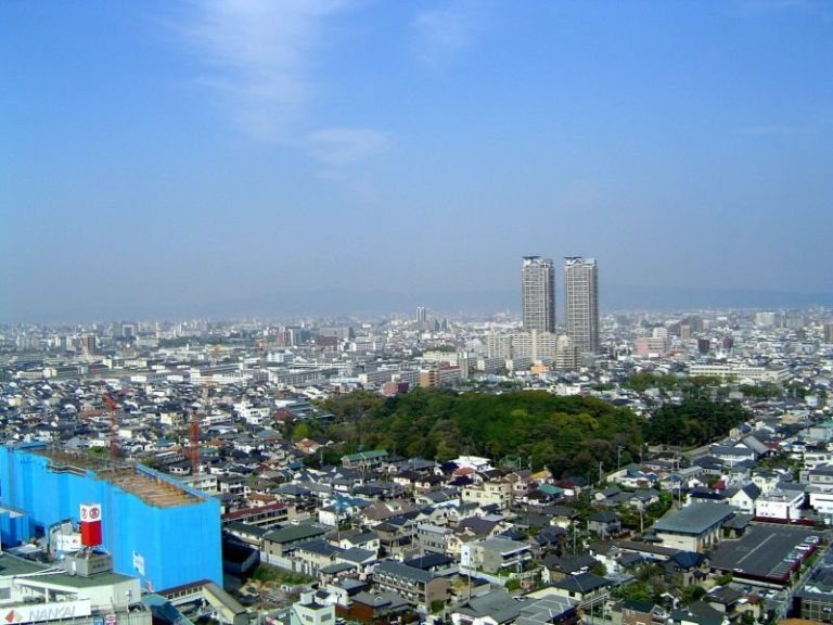
Daisen Kofun is organized as a south-facing, three-tiered earthen mound in the form of a keyhole. A rectangular front section joins a rounded rear section, with paired projecting platforms at the junction. The 2018 three-dimensional survey revised the mound’s length to 525.1 metres, compared with the earlier published measurement of 486 metres. A length of about 522 metres is also reported. The revised survey gives the mound base an area of approximately 121,380 square metres, rather than the earlier figure of 103,410 square metres.
Mound and Moats
The entire tomb precinct measures about 840 metres at its maximum length and 654 metres at its maximum width. Older descriptions give the mound a broadest width of about 300 metres and a length of about 500 metres, while the area enclosed by the tomb is estimated at about 460,000 square metres. The rear mound is a three-tiered circular structure whose diameter was revised from 249 metres to 286.33 metres, and whose height was revised from 35.8 metres to 39.8 metres. The front section was similarly revised from 307 to 347 metres in width, from 237 to 257 metres in length, and from 33.9 to 37.9 metres in height.
Three concentric moats and the embankments between them surround the mound. Earlier measurements give the inner moat a width of about 60 metres. During the Genroku era of the Edo period, much of the outer moat was converted into farmland, leaving the appearance of only two moats. Traces on an Edo-period map and divisions in agricultural land indicate that three moats originally existed. Buried sections of the outer moat were re-excavated and restored in 1896, although the exact correspondence between the restored arrangement and the original remains uncertain.
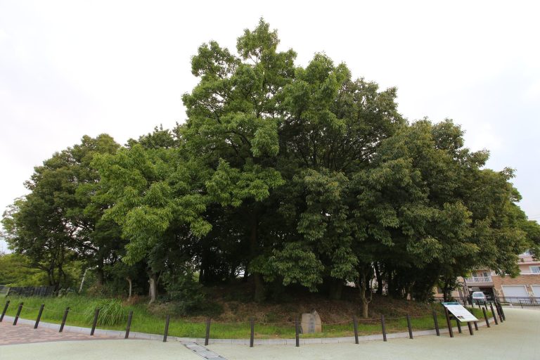
The mound’s slopes were covered with fukiishi, stones used to protect and finish an earthen burial mound, and cylindrical haniwa were arranged along the summit. Its surface contains numerous valleys and markedly irregular contour lines. These depressions may have formed through natural collapse, although incomplete construction has also been proposed. Older descriptions place the mound about 35 metres above the surrounding ground. Its highest point is given as about 47 metres when accumulated silt is included, and its height may have reached about 47.8 metres from the bottom of the silt. The calculated volume above the water is about 1.64 million cubic metres, rising to an estimated 2.10 million cubic metres when the portion extending four metres below the water surface is included. Larger estimates that incorporate deeper silt remain uncertain.
Embankment Haniwa
The first and second intervening embankments are known as the first and second banks. In 2021, two rows of cylindrical haniwa, each about 30 to 35 centimetres in diameter, were found along both edges of the approximately two-metre-wide top of the first bank. The rows are thought to have continued around the entire bank. Nearby traces apparently marking a standing wooden object probably represent an item modeled on a hat worn by an aristocrat.
Burial Facilities
Rear Burial Facility
The rear burial facility contained a large stone coffin shaped like a nagamochi, a traditional long chest. An Edo-period description from 1757 gives its length as 318 centimetres and its width as 167 centimetres, and records that it had been looted. The facility has not been fully investigated, so its grave goods are unknown.
Front Burial Facility
A second burial facility occupied the second terrace of the frontal slope. The collapse exposed in 1872 revealed a vertical stone burial chamber, an installation entered from above rather than through a horizontal passage. The chamber measured approximately 3.6 to 3.9 metres from east to west and 2.4 metres from north to south. Rounded river stones formed its walls, and three roof stones covered it. The stone coffin was not opened during the investigation.
Objects recovered from the front facility included a helmet with a projecting brow guard, a short cuirass, damaged gilt-bronze armor fittings, glass vessels, sword fittings, and about 20 plain iron swords. The helmet had gilt-bronze scales secured with rivets, circular pendants around its bowl, and openwork on the brow guard. The cuirass consisted of gilt-bronze horizontal plates fastened with rivets, with two hinges that allowed its right front panel to open. The swords had simple grips and scabbards without metal fittings. The glass vessels were a greenish jar and a white-glass dish.
Objects Associated with the Tomb
A bronze mirror and an open-ring pommel sword, now in the Museum of Fine Arts, Boston, are said to have come from Daisen Kofun. The mirror is a fine-line beast-band mirror depicting the Azure Dragon, White Tiger, Black Tortoise, and Vermilion Bird. It has been interpreted as an imported Later Han mirror or possibly a product of China’s Southern Dynasties. Another interpretation identifies it as the “Seven Sons Mirror,” presented by the king of Baekje together with the Seven-Branched Sword.
Only the sword’s 23-centimetre grip and open-ring pommel survive. The pommel is cast and gilded bronze, with a dragon head inside the ring and a double-dragon relief on its surface. A decorative metal band on the grip contains birds and animals within a series of triangles. Similar objects have been found in tombs in southern Korea, including areas associated with Silla and Mimana. Okakura Kakuzō, an influential early modern Japanese art historian and cultural administrator, probably purchased the Boston objects in Kyoto in 1906. They were in the museum’s collection by 1908. Their date centers on the first quarter of the sixth century, later than the generally accepted construction date of Daisen Kofun, so their attribution to the tomb remains uncertain.
Woodland and Subsidiary Mounds
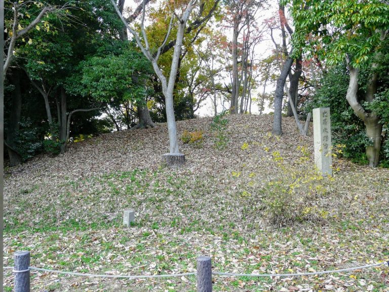
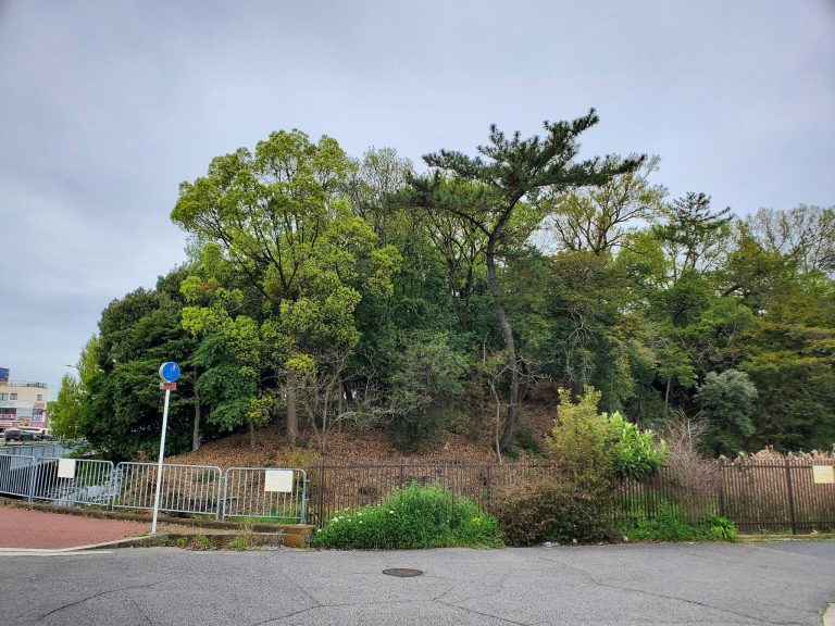
The mound is densely wooded, while the outer moats and the surrounding mound support provide habitat for birds and insects. The maintained moats also support fish and waterbirds. The present vegetation followed a three-year project that began in 1887, when sasa grass covering the mound was removed and more than 190,000 pine, cedar, and oak saplings were planted. This planting later served as a model for the forest created at Meiji Shrine during the Taishō period.
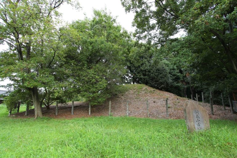
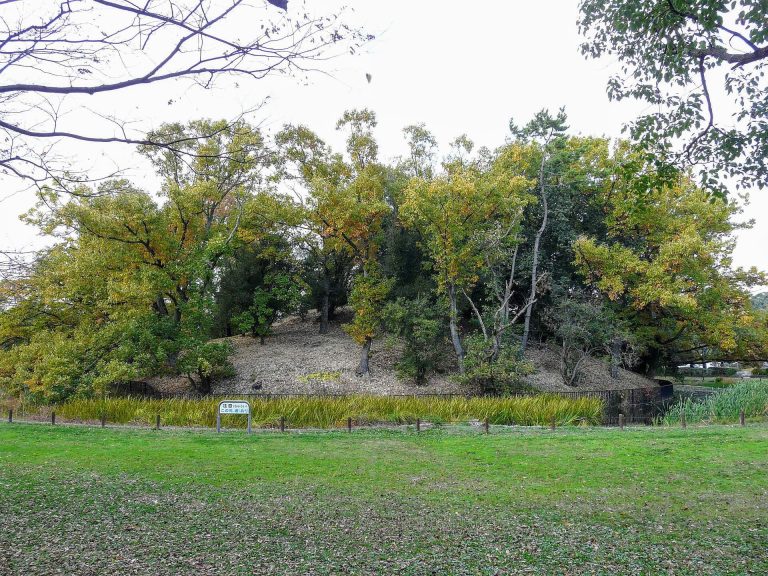
Twelve nearby subsidiary mounds, or baichō, are managed by the Imperial Household Agency. These include circular mounds between 10 and 55 metres in diameter, a 104-metre keyhole-shaped mound with a moat, three scallop-shell-shaped mounds measuring 87, 36, and 67 metres with moats, a 47-metre circular mound, a square mound with 26-metre sides, a 23-metre circular mound, and a 56-metre scallop-shell-shaped mound with a moat. Their traditional interpretation is as burials for relatives, attendants, or retainers of the principal tomb.
The status of some mounds remains debated. The large size, projecting platform, and keyhole form of one subsidiary mound make its classification uncertain, while another is about 264 metres from the outer edge of the third moat and is also considered too distant. Other nearby mounds not managed by the Imperial Household Agency, including circular, square, and scallop-shell-shaped examples, are regarded as likely subsidiary tombs. A further scallop-shell-shaped mound survived until approximately the early Shōwa period, bringing the estimated total number of possible subsidiary mounds to 15.
A female head and a horse head, now held by the Imperial Household Agency, are said to have been found during work on the third moat. Numerous fragments of large jars were reportedly recovered from the eastern projecting platform. A 1795 document belonging to the Minami family, a local village headman’s family, describes rows of unglazed water jars, interpreted as haniwa, together with abundant fukiishi. Two Meiji-period drawings preserved by the Hachiōji Local History Museum depict the stone coffin and chamber exposed at the southern entrance, while a related drawing of the recovered armor is held on deposit at the Sakai City Museum.