Shakujii Castle: A Muromachi-Period Hill Fortress in Japan


Site at a Glance
- Rating
- 3.9
- Popularity
- Low
- Country
- Japan
- Primary era
- Medieval
- External website
- Open
- Eras represented
- Medieval
- Civilizations
- Ashikaga shogunate
- Site type
- Military
- Remains
- Castle
On this page17 sections
History
Shakujii Castle was a Japanese hill castle in Nerima City, Tokyo, Japan, and a later stronghold of the Toshima clan. Its construction is generally associated with the middle Muromachi period, the era of the Ashikaga shogunate from 1336 to 1573, although the exact date remains uncertain. The castle occupied a strategic position in the Shakujii River basin and served as a base for the Toshima family’s rule in the district.
The Toshima Estate
The Toshima clan had exercised power in the Shakujii River basin from the Heian period through the Muromachi period. Earlier residences belonging to the Uda and Miyagi families had occupied the area from the Kamakura period onward, before Shakujii developed as a Toshima stronghold.
The Toshima clan began ruling the entire Shakujii district in 1349. After its defeat in the Hira Ikki Rebellion of 1368, the Kantō kanrei, a senior deputy who supervised the shogunate’s political and military affairs in the Kantō region, Uesugi clan confiscated the family’s lands. The Toshima recovered the district in 1395.
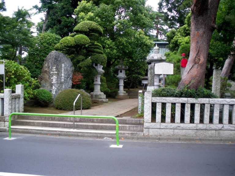
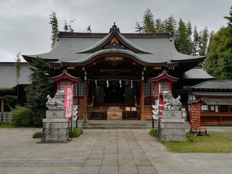
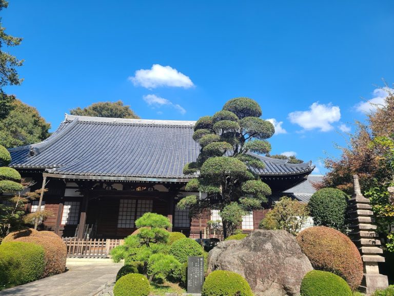
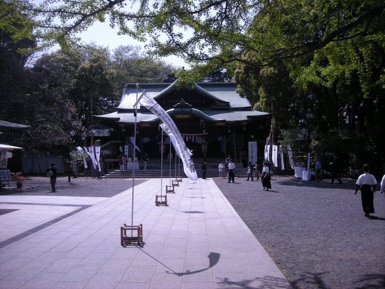
A later theory places the castle’s construction in the Ōei period, shortly after the Toshima regained control. Shakujii Hikawa Shrine, the castle’s guardian shrine, and Sanpōji Temple, founded within the castle area, are both traditionally dated to this period. Their traditional dates have contributed to the view that the castle was built or substantially developed after 1395.
Conflict with the Uesugi Forces
During the mid-fifteenth century, the Toshima increasingly opposed the Ōta family, chief retainers of the Ōgigayatsu Uesugi clan. Tensions with Ōta Dōkan, a military commander serving the Uesugi, probably led to the castle’s final form. Shakujii may have been enlarged or altered as a counterpart to Edo Castle, although the precise extent of this work is uncertain.
The crisis intensified in 1477 during the conflict associated with the rebellion of Nagao Kageharu, a military leader whose uprising helped create the political and military circumstances of the Toshima defeat. Toshima Yasutsune and his brother Toshima Yasuaki were based respectively at Shakujii Castle and Nerima Castle. They faced Dōkan’s campaign on behalf of the Uesugi forces.
After Nerima Castle was attacked on April 13, 1477, the Toshima forces were decisively defeated at the Battle of Ekoda-hara, also known as Ekoda-hara and Numabukuro. Yasuaki was killed, while Yasutsune withdrew to Shakujii Castle. On April 14, Dōkan established a camp at Atagoyama, near the present Waseda University Senior and Junior High School, and moved against the castle.
A temporary peace agreement was reached on April 18, but the Toshima side did not carry out the required demolition of the castle. Dōkan therefore resumed the attack on April 21. When the outer fortifications fell, Yasutsune abandoned Shakujii that night and fled.
Defeat and Abandonment
Yasutsune attempted to regroup at Hiratsuka Castle in January 1478. When Dōkan advanced again, he withdrew toward the Adachi area and subsequently disappeared. The formerly accepted story that he fled from Maruko Castle to Kozukue Castle is now largely rejected. A revised interpretation places his movement northward from Adachi, possibly toward Koga, because the route through Maruko and Kozukue conflicts with the recorded directions, distances, chronology, and political circumstances.
The older view that Dōkan first attacked Hiratsuka Castle has likewise largely been replaced by the interpretation that Nerima Castle was his initial target. This reading identifies the “castle of Toshima Yasuaki” in the relevant record with Nerima Castle and explains the movement of the Toshima forces from Nerima and Shakujii toward Ekoda-hara.
Shakujii Castle ceased to function as a Toshima stronghold after the defeat of 1477 and was later abandoned. The Tokyo Metropolitan Government designates the site as a historic site. The tale that a castle lord’s daughter named Teruhime drowned herself in Sanpōji Pond during the fall of the castle comes from a novel published in 1896 by the writer Chozuka Reisui. Teruhime is regarded as a fictional character rather than a historically attested person.
Archaeological investigations have taken place repeatedly. Excavations conducted over six consecutive years from 1998 to 2003 clarified the form of the inner enclosure, its earthworks, moats, buildings, and underground storage features. Earlier investigations in 1957 and 1967 had also identified structural evidence and underground pits. Materials recovered from the castle are displayed at the Shakujii Furusato Cultural Museum near Shakujii Park.
Remains
Plateau and Defensive Layout
Shakujii Castle was a hirayamashiro, or hill castle, arranged as linked enclosures on a tongue-shaped plateau between the Shakujii River and the valley extending from Sanpōji Pond. A tongue-shaped plateau is a narrow elevated landform projecting into lower ground, whose sides can provide natural protection. The plateau extends about 1 kilometer from west to east. Its central area measured approximately 100 to 300 meters from north to south and 350 meters from east to west, covering about 30,000 tsubo.
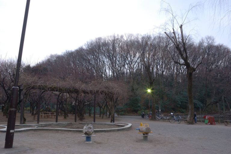
Sanpōji Pond lay to the north, while the Shakujii River protected the southern and eastern sides. These water features functioned as natural moats. Artificial defenses were concentrated on the west, where the landward approach required additional fortification. Much of the original castle landscape has been altered by urban development, but the inner enclosure’s earthworks and dry moat survive within Shakujii Park.
Outer Defenses
Large Moat and Western Approaches
The base of the plateau was cut off by a large moat about 300 meters long, 9 meters wide, and 3.5 meters deep. The height difference between the bottom of the moat and the top of the earthworks was approximately 7 meters. Smaller dry moats and earthworks continued west of this barrier toward the inner enclosure. An outer enclosure or related facility probably stood between the large moat and the inner enclosure, while the place-name Omon, meaning “great gate,” survives in the eastern area.
Inner Enclosure Moat and Rampart
Excavation revealed that the inner moat had a box-shaped profile, with steep sides, a broad upper width of about 12 meters, and a flat bottom about 3 meters wide. It was approximately 6 meters deep. Parts of the moat had been deliberately filled, possibly during the temporary surrender negotiations with Ōta Dōkan in 1477.
The inner enclosure’s earth rampart was approximately 16.3 meters wide at its base and is about 3 meters high today. Its original height is estimated at roughly 6 meters. A cut through the southern earthwork was made as a passage during the early-modern period rather than serving as an original entrance. Access to the enclosure probably used a wooden bridge. On the western side, a bent defensive arrangement, called an ori, would have allowed defenders to fire laterally at people approaching the entrance instead of permitting a direct advance.
Possible Watchtower Sites
A small mound inside the large moat may preserve the remains of a watchtower or a similar structure. Historical descriptions refer to possible tower sites. The mound formerly measured approximately 25 by 15 meters across its top, about 40 meters across overall, and 0.8 meters high. An investigation in 1957 found postholes and two ceramic fragments.
A trace of another dry moat survives near the southwestern end of Sanpōji Pond. A circular rise in the residential area to its south is interpreted as a possible watchtower site.
Inner Enclosure Structures and Finds
Post-Built Buildings
Postholes within the inner earthworks indicate a post-built structure measuring one ken by one ken, as well as a building at least three bays long. The larger building may have carried posts throughout its plan or had attached eaves. Together with the enclosure’s defensive earthworks, these remains show how the fortified area was organized during the castle’s later phase.
Underground Storage Pits
A large underground pit inside the inner enclosure measured approximately 4 meters in diameter and 3 meters deep. It is interpreted as a facility for storing food. The 1967 investigation identified three such underground pits, indicating that subterranean storage formed part of the enclosure’s preparation for defensive use.
Ceramics and Other Objects
Objects recovered from the inner enclosure include ceramics dating from the twelfth century onward, unglazed earthenware vessels, roof tiles, a small knife, and a whetstone. Earlier investigations also found lamp dishes, part of a stone mill, charred rice, iron nails, and ink. A fragment of Tokoname ware dating close to the fifteenth-century conflict was found in an earthwork. Along with the fortifications, this find supports the interpretation that the inner enclosure was enlarged rapidly in preparation for battle.
The assemblage also includes a white porcelain four-eared jar, a blue-and-white porcelain vase decorated with plum blossoms, and a brown-glazed four-eared jar. These prestige goods may have been brought into the inner enclosure shortly before the battle as valuable possessions. The character of the finds supports the interpretation that the enclosure served principally as an emergency refuge during siege conditions rather than as the castle lord’s normal residence. That residence has been tentatively placed near the rear hills of Sanpōji Temple, where earthworks and a dry moat survived until recent times.
Atagoyama Castle
Branch Fortification
Atagoyama Castle stood on a low hill across the Shakujii River, approximately 700 meters from Shakujii Castle. Excavation during the rebuilding of school facilities in 1992 uncovered a U-shaped moat. The smaller fortification is interpreted as a branch of Shakujii Castle, positioned to monitor the headwaters of the Shakujii River and the southern plateau.
Siege Camp
Atagoyama Castle was probably reused later as Ōta Dōkan’s siege camp during the encirclement of Shakujii Castle. Its position across the river connected the wider defensive landscape with the campaign that ended Toshima control of the stronghold in 1477.