Yanagawa Castle: A Date Clan Stronghold in Fukushima, Japan
Site at a Glance
- Rating
- 3.4
- Popularity
- Very Low
- Country
- Japan
- Primary era
- Early Modern
- External website
- Open
- Eras represented
- Medieval, Early Modern
- Civilizations
- Kamakura shogunate, Uesugi
- Site type
- Military
- Remains
- Castle
On this page10 sections
History
Yanagawa Castle is a Japanese hirayama castle in Date, Japan, built on a hill above the surrounding plain by the Date clan during the medieval period. Its exact foundation date is uncertain. Tradition places its construction in 1189, while the earliest documentary evidence dates from after 1426, and archaeological finds indicate that a castle existed by the time of either Date Yoshihiro or Date Masayori, the third or fourth leaders of the clan.
The Date clan base
The Date clan received Date County from Minamoto no Yoritomo, founder of the Kamakura shogunate, for its role in the campaign against Hiraizumi. The clan made the county its base, and Yanagawa Castle served as its principal stronghold for nearly 300 years. During this period, the Date family held the office of jitō, a medieval post responsible for local land administration and taxation, and later the office of Ōshū tandai, a military and administrative position overseeing the Tohoku region for the central authority. These offices helped the clan develop into a major power in southern Ōshū.
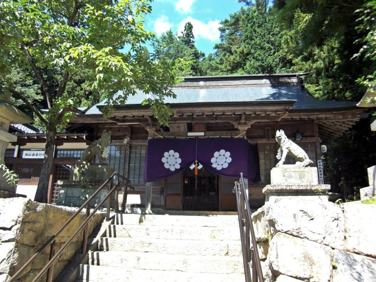
In 1532, Date Tanemune moved the clan’s principal residence to Kōri-Nishiyama Castle. Yanagawa nevertheless remained an important regional base, and the clan later used Yonezawa Castle as its principal residence. Yanagawa Hachimangu, the Date clan’s tutelary shrine, stood north of the castle. Date Masayori is traditionally credited with establishing a group of nearby temples known as the Date Gozan. The Gozan was a ranking system for leading Zen Buddhist temples, and the Date arrangement was modeled on the established system associated with Kyoto.
Warfare and changing lordship
Tradition identifies Yanagawa Castle as the headquarters of Date Masamune during his first battle, fought against the Sōma clan. It also holds that Masamune prayed for victory at Yanagawa Hachimangu. Yanagawa was the place where Princess Megohime of the Tamura clan was handed over when she married Masamune.
After Toyotomi Hideyoshi, the late-sixteenth-century ruler who unified much of Japan and reassigned the territories of regional lords, transferred the Date clan to Iwadeyama Castle, Yanagawa became part of the territory of Gamō Ujisato. Following Ujisato’s death, it passed to Uesugi Kagekatsu, head of the Uesugi clan, who stationed Suda Nagayoshi there. The surviving fortifications and earthworks are generally attributed to major alterations made under either Gamō or Uesugi rule.
During the conflict preceding the 1600 Battle of Sekigahara, Date Masamune attacked Yanagawa from Daieda Castle on the opposite bank of the Abukuma River on October 7. He had already fought elsewhere in the Fukushima Basin, but the assault was abandoned after strong resistance and the discovery of an internal betrayal involving Yokota Daigaku.
Uesugi rule and abandonment
After the Tokugawa shogunate was established, the Uesugi clan retained the surrounding area. Under Uesugi Sadakatsu, officials and magistrates completed the Nishinezeki irrigation canal, greatly enlarging the cultivated land of the Fukushima Basin.
In 1664, Uesugi Tsunakatsu died without naming a successor. The Uesugi house continued after adopting Tsunanori, but its domain was reduced from 300,000 to 150,000 koku, a historical assessment of land and rice-based revenue. Date County, together with Shinobu County and Yashiro in Okitama County, was confiscated and placed under direct shogunal administration, known as tenryō. Yanagawa Castle was abandoned at this time.
Parts of the abandoned castle continued to function as a jin’ya, a domain or shogunal administrative headquarters that generally lacked the full fortifications of a castle. These included the main bailey, the northern turrets of the San-no-maru, and the castle lord’s residence. A cadet branch of the Matsudaira clan held Yanagawa Domain from 1683 to 1730. The area later returned to direct shogunal administration and, from 1807 to 1821, formed a 9,000-koku holding of the Matsumae clan. Other parts of the wider area were linked with the Aizu, Iwaki, and Matsumae domains, while eleven villages of former Date County belonged to the Kariya domain, which maintained a jin’ya at Yuno until the end of the Edo period.
Modern investigation and protection
After the Meiji Restoration, the castle was abolished. Yanagawa Elementary School occupied the former main bailey until March 2015. The school buildings were damaged by the 2011 Great East Japan Earthquake and became unusable, after which the school moved to a new campus. Excavation in the former main-bailey schoolyard took place from 1978 to 1981. The excavated area was later backfilled, and a medieval garden was restored in one corner.
The former junior-high-school site in the eastern Ni-no-maru was also investigated during planning for construction. The remains found there substantially affected the rebuilding project, and Yanagawa Junior High School moved to a new building at the foot of Chausuyama in 2000. In 2019, the ruins were designated a National Historic Site under the name “Date Clan Yanagawa Site Group.” Housing construction and redevelopment continue to threaten parts of the remains, although historical place-names connected with the former castle town survive around the site.
Remains
Hilltop layout and defenses
Yanagawa Castle occupied a hill projecting west-northwest from Chausuyama on the eastern side of Yanagawa’s central urban area. As a hirayama castle, it rose more than 10 meters above the flat area of the former castle town. Slopes, cliffs, rivers, and moats formed its natural defenses. A moat and enclosures protected the north, a steep terrace slope bounded the west, and erosion by the Hirose River created the southern cliff. Kanazawa Moat and Chausuyama protected the eastern side.
The central arrangement consisted of a main bailey, a surrounding Ni-no-maru on the north, east, and south, and a San-no-maru extending from the east of the main bailey around to the north. The castle had no keep. Broad moats and high earthworks in the northern San-no-maru are associated with the major expansion carried out during the Gamō or Uesugi period.
Main bailey
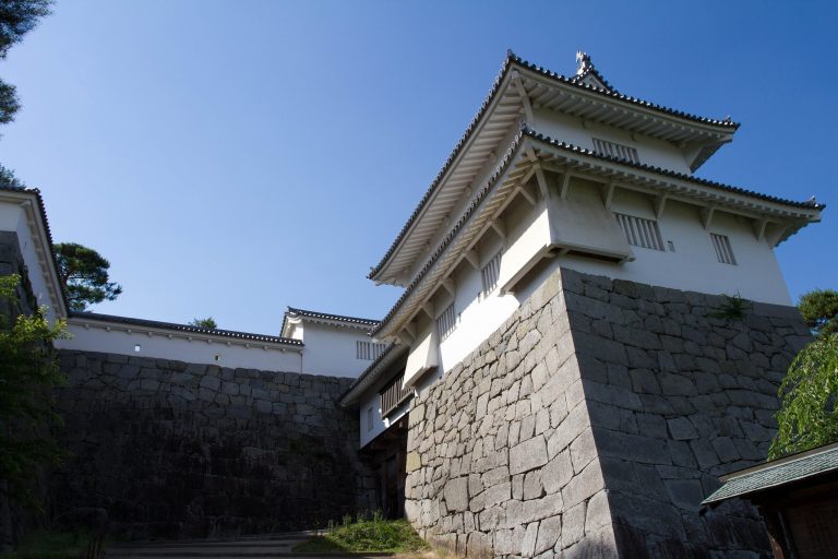
Part of the main bailey is occupied by the former Yanagawa Elementary School grounds. Excavation there uncovered the remains of the castle lord’s residence, also described as the main-bailey hall. The bailey included a watchtower site with stonework made in the Anō-zukuri technique, which uses roughly shaped stones fitted together rather than finely cut blocks.
A medieval garden called Shinji no Ike was reconstructed in one corner of the former schoolyard. The garden dates to the period when the Date clan strengthened its ties with the Muromachi shogunate, the Ashikaga government that followed the Kamakura period. One theory describes Shinji no Ike as the only medieval garden in eastern Japan.
Enclosures and entrances
The former eastern Ni-no-maru contains Asama Shrine and Yanagawa Kindergarten, while the former Yanagawa Junior High School site is now a school ground. Fukushima Prefectural Yanagawa High School occupies the southern Ni-no-maru. The San-no-maru, which later served as a jin’ya, is now largely a residential area. These modern uses overlay portions of the castle’s former enclosures while the surviving earthworks and moat traces preserve parts of their original arrangement.
The historical main gate was approached from Shimizu Town by an uphill route on the north side, formerly the San-no-maru side. The western school entrance is a comparatively recent kinked slope and does not appear on surviving plans from the Edo period. The former main gate now serves as the rear gate of the elementary-school site.
Castle-town landscape
Earthworks, traces of moats, and winding roads survive at and around the ruins. Residential construction and redevelopment have reduced some of these features, but place-names including Mitsuke, Motojinnai, Ushirocho, Omachi, Nakamachi, Uchicho, and Machiura preserve aspects of the former castle-town landscape. Together, these remnants extend the archaeological setting beyond the hilltop enclosures and indicate the former relationship between the castle and the settlement around it.