Relief of Fraktin: A Hittite Religious Rock Monument in Türkiye
Site at a Glance
- Rating
- 4.5
- Popularity
- Low
- Country
- Turkey
- Primary era
- Bronze Age
- Eras represented
- Bronze Age
- Civilizations
- Hittite
- Site type
- Religious
On this page11 sections
History
The Relief of Fraktin is a Hittite religious rock monument in Türkiye, located near Gümüşören in Develi District, and dating to the 13th century BC during the Hittite Empire. The Hittites were a major Bronze Age state centered in Anatolia, and their royal monuments often joined images of rulers and deities with inscriptions in Hieroglyphic Luwian, the writing system and language used for many monumental texts in southern and central Anatolia.
The Hittite setting
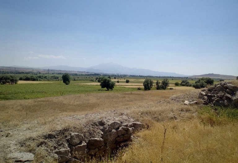
The monument stands near the village historically known as Fıraktın, now Gümüşören, on the Enzel Dere, a tributary of the Zamantı River. Strabo referred to the place as Dastarkon. In antiquity, the valley probably belonged to the kingdom of Kizzuwatna, an ancient kingdom in southeastern Anatolia and the Cilician region. A route through the Gezbeli and Küçük Gezbeli passes connected the valley with Cilicia and Syria. Fertile land and springs probably encouraged dense settlement during the Late Bronze Age, Iron Age, and Roman period.
Fraktin was part of an area containing an unusually high concentration of Hittite-period rock reliefs. Five such monuments were found there between 1880 and 1939, including the Hanyeri, İmamkulu, and Taşçı A and B reliefs in addition to Fraktin. The relief may have been made after the death of King Hattusili III, during the reign of his son and successor Tudhaliya IV. This interpretation rests partly on the pointed caps worn by the king and the weather god, because deceased Hittite kings were regarded as divine.
Discovery and later study
A Greek from Nevşehir is said to have described the monument around 1850, before Archibald Sayce noted it in 1880. William Mitchell Ramsay and David George Hogarth visited the site in 1890 and published a photograph and drawings of its hieroglyphs. Ernest Chantre investigated it in 1893 and 1894, followed by the Cornell Expedition in 1907. Later work included Kay Kohlmeyer’s visit in 1983, Horst Ehringhaus’s study in 2005, and John David Hawkins’s inclusion of the inscriptions in his later corpus of Hieroglyphic Luwian texts.
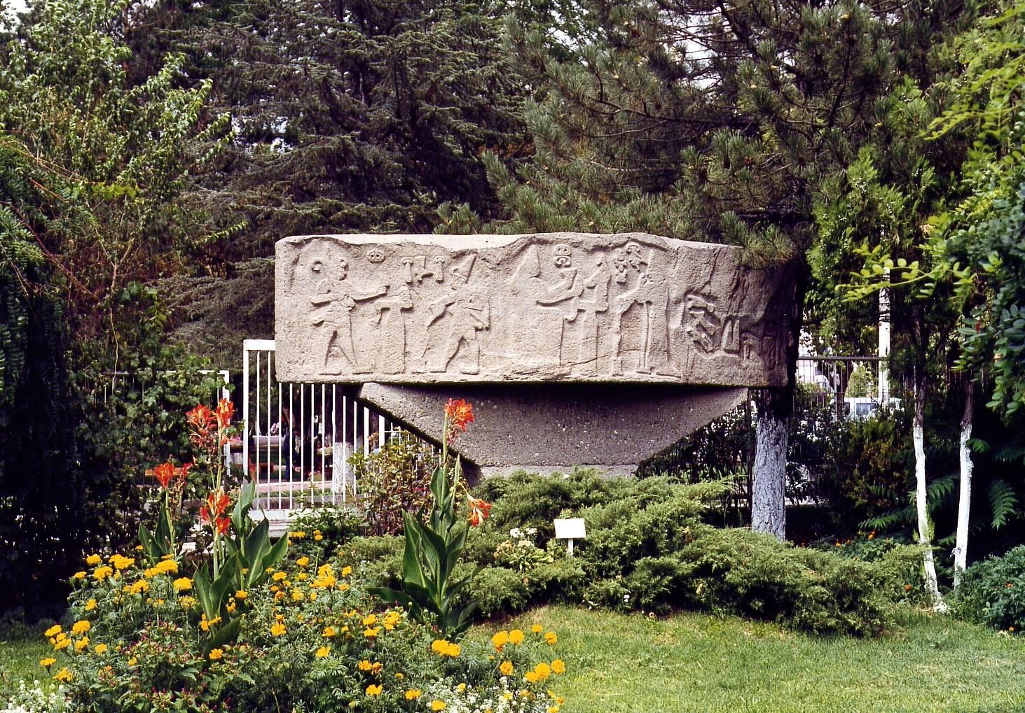
The monument’s religious purpose is indicated by hollows for libations on the top of the rock escarpment and by similar hollows beside a large nearby building. A libation was a ritual offering in which liquid was poured onto or into a vessel, altar, or sacred surface. Ancient quarries also survive above the escarpment. The relief remains preserved, while a concrete copy is held at the Kayseri Museum and a plaster cast at the Pergamon Museum in Berlin.
Remains
The carved panel
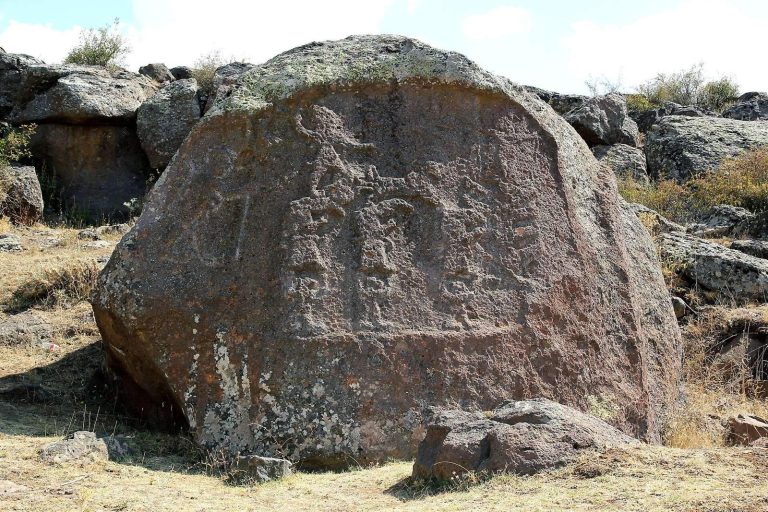
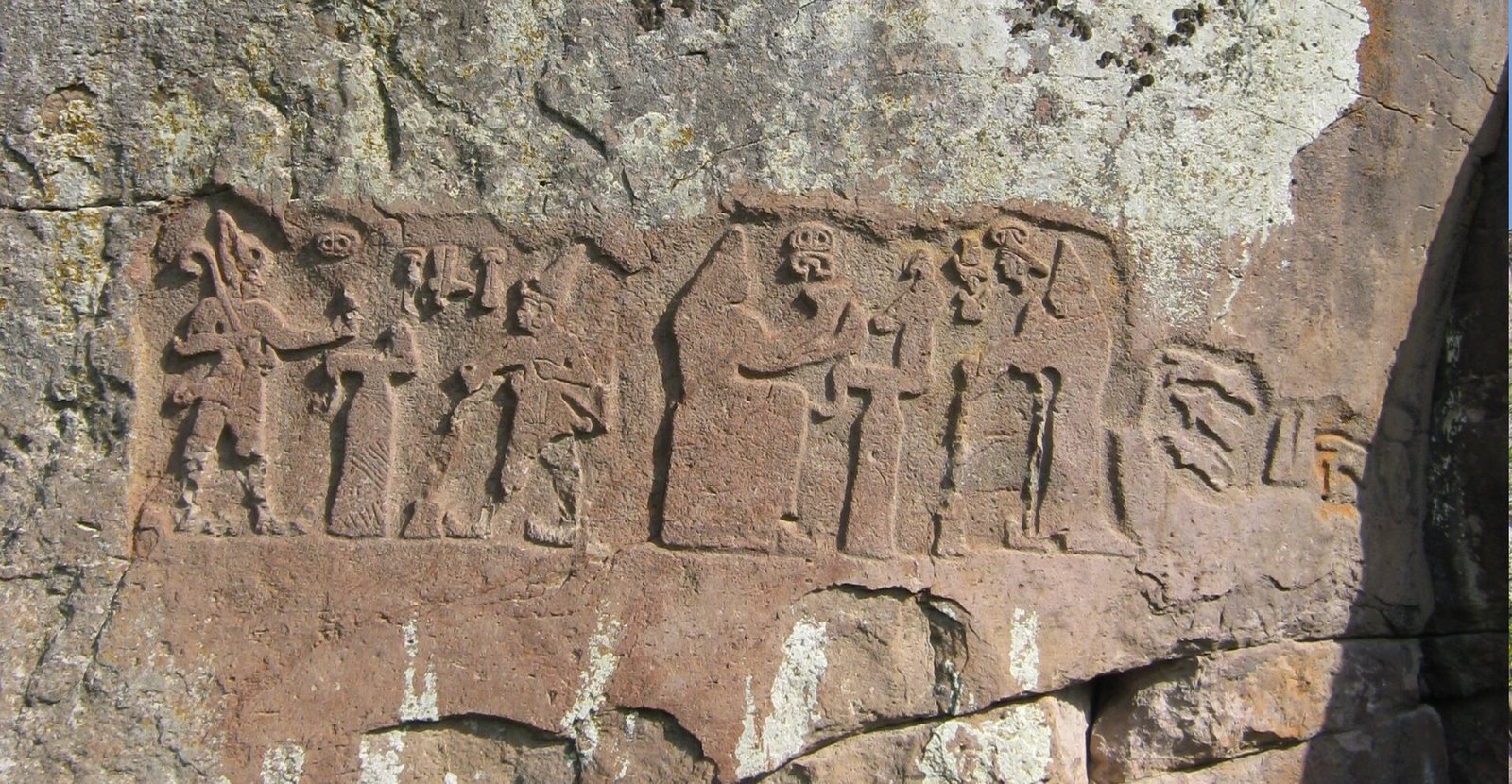
The relief is carved into a rock escarpment in a steep valley between Mount Erciyes and the Anti-Taurus Mountains, east of Develi. The panel faces northwest toward Mount Erciyes, a mountain regarded as sacred or divine in Hittite times. It measures about 1.3 metres high and 3.2 metres wide and is arranged in three sections.
Hattusili III and the weather god
In the left section, Hattusili III stands on the right and pours a libation to the Anatolian weather god, who faces him from the left. The king tips a curved or beaked flagon, a pouring vessel, into a container set on the ground. Between the figures is an altar-like grooved structure bearing a conical object that may represent offering bread. The weather god holds a crook, or curved staff, as an attribute. Hieroglyphic inscriptions before the figures’ heads identify them, while their pointed caps express their divine status.
Puduhepa and Hebat
The middle section shows Puduhepa, Hattusili III’s wife and great queen, on the right making a libation to the goddess Hebat on the left. Hebat was a major goddess in the Hittite religious world. A second altar stands between them and supports a bird or bird-shaped vessel. The carving becomes progressively rougher toward the right side of this section, suggesting that the work there may have remained unfinished.
The Hieroglyphic Luwian inscription
The right section is occupied by a large panel of Hieroglyphic Luwian inscriptions. The text continues the identification of Puduhepa begun beside her head and describes her as the great queen, the daughter of the land of Kizzuwatna, and beloved by the divine.
Associated archaeological features
The nearby building
Several hundred metres north of the relief is a large structure measuring approximately 30 by 28 metres. Libation hollows beside it were probably connected with the monument, extending the evidence for ritual activity beyond the carved panel itself.
Fraktin Mound and the valley
Fraktin Mound lies about 1.5 kilometres west-northwest of the relief on the floodplain of another tributary of the Zamantı River. The relief stands near the confluence of the two rivers. A Mycenaean vase found near the site probably reached the area from Cilicia through the valley route, providing material evidence for the connections that passed through this landscape.