Piercebridge Roman Bridge: A Roman Road Crossing of the River Tees


Site at a Glance
- Rating
- 4.4
- Popularity
- Low
- Country
- United Kingdom
- Primary era
- Classical
- External website
- Open
- Eras represented
- Classical
- Civilizations
- Roman
- Site type
- Infrastructure
- Remains
- Bridge
On this page5 sections
History
Piercebridge Roman Bridge is a Roman bridge in the United Kingdom, built around AD 90 to carry Dere Street across the River Tees. Dere Street was a major Roman road in northern Britain, while Piercebridge Roman Fort, a military installation used to garrison troops and control important routes, guarded the crossing. The bridge therefore formed part of a road and military network connecting movement across the river with the fort’s protection.
Construction and Later Change
The first bridge may later have been replaced by a second structure after flooding possibly washed the original away. The river narrowed and changed course over the centuries, leaving the surviving remains about 90 metres south of the modern channel and about 450 metres east of Piercebridge. The bridge’s timber superstructure disappeared during the approximately sixteen centuries since Roman occupation ended.
The remains came to light during gravel quarrying in 1972. The most recent excavations took place in 2009, when Channel 4’s Time Team investigated the bridge. Artefacts recovered from the bridge and Piercebridge Roman Fort are preserved at the Bowes Museum in Barnard Castle. The structure is a scheduled monument, a legally protected archaeological or historic site in England, and is owned by English Heritage.
Interpretations of the Structure
Most archaeologists interpret the remains as those of a bridge. Archaeologist Raymond Selkirk proposed instead that the structure was a navigation dam, a barrier used to manage river levels or assist boats, with an overspill channel carrying excess water around or over it. He used this interpretation and other evidence to argue that Roman river transport was more extensive than generally recognised.
Remains
Surviving Bridge Fabric
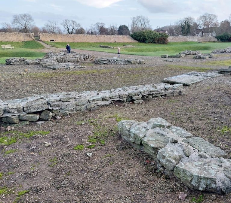
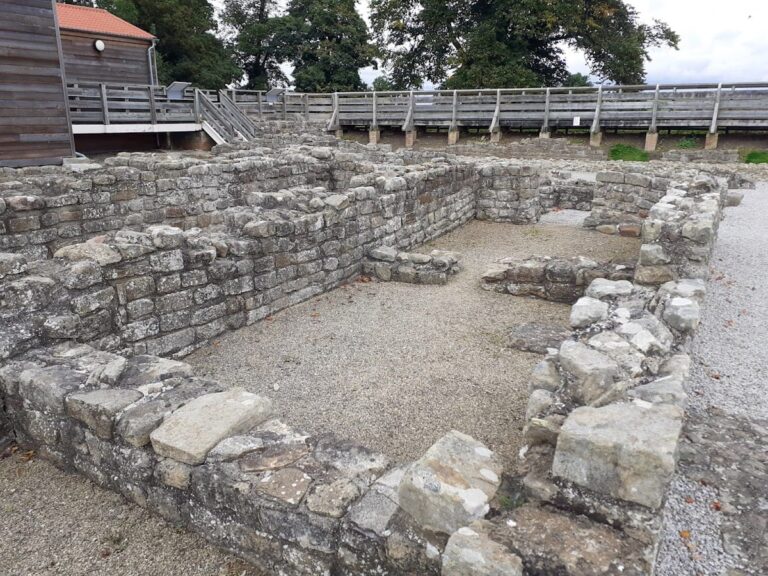
The ruin lies in a field about 90 metres south of the current River Tees, near Cliffe in North Yorkshire and Piercebridge in County Durham. The structure was approximately 123 metres long. Its surviving masonry consists of massive stone blocks forming at least five piers, the substantial vertical supports between sections of a bridge. Individual blocks measure up to 1.5 metres in length, giving the remains their heavy construction.
The lower courses of one abutment, the end support joining the bridge to the bank, remain partially complete. Holes are visible where the wooden structure was fitted into the masonry, providing evidence for the lost timber superstructure. Together, the piers, abutment, and fitting holes preserve the principal physical evidence for the Roman crossing and its method of construction.