Alconétar Bridge: A Roman Segmental-Arch Crossing in Spain


Site at a Glance
- Rating
- 4.4
- Popularity
- Low
- Country
- Spain
- Primary era
- Classical
- Eras represented
- Classical, Medieval
- Civilizations
- Crusader, Knights Templar, Roman
- Site type
- Infrastructure
- Remains
- Bridge
On this page13 sections
History
Alconétar Bridge, also known as Puente de Mantible, is a Roman crossing in Spain near Garrovillas de Alconétar. Built probably in the early second century during the reign of Trajan or Hadrian, it carried a major Roman road across the Tagus near the mouth of the Almonte. Its unusually flat segmental arches make it an important example of Roman bridge construction in Hispania.
Roman road and construction
The bridge carried the Iter ab Emerita Caesaraugustam, the road later known as the Via de la Plata. This north-south route connected Mérida with the valleys of the Alagón, Tiétar, and Tagus, continued through the western Meseta and Salamanca, and ended at Astorga. It belonged to the principal roads established under Augustus and his successors for military control and access to Iberian gold and silver resources.
Trajan ordered the restoration of the road after becoming emperor. The bridge itself has no literary or inscriptional evidence that fixes its construction date, but its flattened arches point to an early second-century date, probably between AD 98 and 138. It may have been associated with Apollodorus of Damascus, the prominent architect and engineer linked to Trajan’s major imperial works, although this attribution remains uncertain.
A Roman road station, or mansio, called Turmulus or Ad Túrmulos stood in the hills above the crossing. A mansio provided organized accommodation and services for travellers and officials. It was the fourth of sixteen stations on the route between Mérida and Astorga, placing the bridge within a wider transport and administrative system.
Medieval disruption and repair
The bridge probably remained in service until the period of the Reconquista, the long expansion of Christian kingdoms into territories governed by Muslim powers in the Iberian Peninsula. From the eleventh to the thirteenth centuries, the Tagus formed a frontier between Christian and Muslim-controlled territories. Repeated fighting may have made the crossing unusable, although erosion may also have weakened its foundations.
Alconétar Bridge was first recorded in 1231 and was explicitly described as functioning in 1257. The Knights Templar, a medieval military religious order that controlled fortified sites and strategic routes in parts of Iberia, probably repaired it after taking control of the bridge and the settlement of Alconétar. The replacement arches later numbered 1 and 3 may belong to this period.
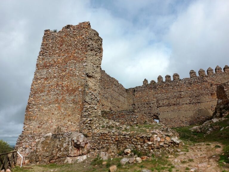
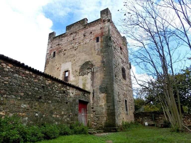
By about 1340, the crossing appears to have become unusable again, and a ferry or boat service was established. Boats continued to serve the crossing in later periods. A medieval fortress was built on the site of the ancient road station, and its tower incorporated reused Roman stone. The large pier known as the Bishop’s Table may also have been connected with medieval defensive use.
Unsuccessful restorations and modern relocation
Several early-modern plans to restore the bridge were never completed. Rodrigo Gil de Hontañón calculated a reconstruction cost of 80,000 ducats in 1553, but his proposal was not carried out. Projects associated with Alonso de Covarrubias and Hernán Ruiz in 1560, as well as another plan dating from 1569 to 1580, also failed. Further attempts in 1730 and between 1760 and 1770 produced no completed reconstruction. The latter scheme, prepared by the military engineer José García Galiano, proposed three large segmental arches spanning the river.
Drawings made by Fernando Rodríguez in 1797 and engravings published by Alexandre de Laborde a few years later show that the surviving arches were concentrated mainly on the right bank. Rodríguez proposed a bridge with a uniformly rising profile, three central arches, and nine segmental arches on each side. The symmetry of this design led to the possibility that an additional Roman segmental arch once occupied the position of a later riverside fortification.
Civil engineer Antonio Prieto’s 1925 survey established the basis for modern study and recorded the bridge before its relocation. A later reconstruction intended to follow the ancient structure closely nevertheless required slight changes to the main structure. The bridge had been protected by the Spanish authorities since 1931 and was declared a Historic-Artistic Monument, with the status of an Asset of Cultural Interest, on 3 June that year.
Construction of the Alcántara reservoir threatened the surviving remains in 1970. The bridge components were moved approximately six kilometres north to a meadow near Garrovillas de Alconétar. Other fragments remained at the original location and were submerged beneath the reservoir. The visible bridge is therefore a relocated ruin rather than the complete ancient crossing.
The legend of Mantible
The name Puente de Mantible comes from a medieval and later legend about Charlemagne and the Twelve Paladins. In the story, the giant Fierabrás, son of the Muslim king Balán, plunders Rome, takes the relics of Christ’s Passion, and returns with them to Spain. Charlemagne and his knights cross the fortified bridge of Mantible, defeat Balán, and see Fierabrás and his sister Floripes baptized.
The identification of Mantible with Alconétar is legendary rather than historical. A tradition possibly promoted during the Knights Templar’s control of the bridge and castle may have connected the fortress and its toll income with the chivalric story and with nearby religious relics. Maintaining and rebuilding the crossing would have allowed tolls to be collected from people, livestock, and goods.
Several local names have been interpreted as reinforcing the association. The nearby castle tower is called the Tower of Floripes, while a castle at Portezuelo is known as Marmionda. Places near Garrovillas bear names linked with other legendary locations, including Aigremor, Aguas Muertas, and Vado del Ciervo. The Tagus has also been associated with the legendary river Flagos, and the diocese of Coria preserves relics identified with the Passion of Christ. These correspondences do not establish that the events of the legend occurred.
Remains
Alconétar Bridge was a straight Roman bridge about 290 metres long, including its approaches. Around 190 metres crossed the riverbed at low water, while the distance between the two ramps was estimated at approximately 244 metres. The bridge was about 6.55 to 6.80 metres wide and at least 12.50 metres high. Its openings included the main river arches and flood openings, with the total usually estimated at about eighteen, although counts of the arches vary.
Approach and flood openings
Right approach ramp
The relocated remains include the right approach ramp, which is about 42 metres long and 6.55 to 6.80 metres wide. Two segmental flood arches pierce it, with clear spans of approximately 6.95 and 7.40 metres. Their span-to-rise ratios are about 4.0:1 and 3.3:1. A segmental arch forms less than a semicircle, giving it a relatively flat profile. The bridge’s principal arches had estimated ratios of about 4:1 to 5:1, so they extended much farther horizontally than they rose vertically.
Roman masonry
The springings, where the flood arches begin to curve, have carefully fitted inclined contact surfaces. Their voussoirs, the wedge-shaped stones forming an arch, are about 1.20 metres thick and unusually massive in relation to their spans. The outer faces use local granite ashlar, or regularly cut stone blocks, laid in parallel courses without mortar or iron ties. The interiors of the ramp and piers were filled with Roman concrete.
River piers and arches
Surviving Roman piers
Before relocation, most of the surviving fabric stood on the right bank, where the current was weaker. Several pier stumps projected above the water in midstream, and two additional piers remained beside the left abutment. The relocated elements include piers 1, 2, and 3, parts of piers 4 and 6, and the vaults of arches 1 and 3.
The third pier preserves Roman fabric to its full surviving height of 12.50 metres. Its carefully worked stone facing and the second cornice, which extended across the ancient piers, provide the clearest surviving impression of the original bridge. The five surviving piers have pointed cutwaters on their upstream faces. Their thickness increased toward the centre of the river, from about 4.25 to 4.80 metres.
Later arches and Bishop’s Table
Arches 1 and 3 are later replacements made from carelessly laid rubble rather than Roman masonry. Their precise date is uncertain, although their construction may belong to the period of Templar control. The masonry above the lower cornice of the first two piers is also post-classical. These upper structures may have been adapted for a drawbridge or tower, and an illustration shows a tower standing on pier 2.
A fifth surviving river pier, known as the Bishop’s Table, has an unusually broad cross-section of approximately 8.10 metres and projects far into the riverbed. It may be medieval rather than Roman, replacing two ancient arches and supporting a defensive or watchtower. Its relationship to the other piers reflects the repeated alteration of the crossing after the original bridge had been built.
Segmental arch design
The third original arch described a circular sector of approximately 95 degrees. Its springing angles indicate that the other Roman arches also had the characteristic flattened form. Early nineteenth-century engravings show an intact Roman segmental arch across the adjoining fourth bay. Estimated spans in the main sequence ranged from about 7.30 to 15 metres, with the distances between the piers increasing toward the centre of the river.
The low arches would have produced an unusually flat, elongated roadway. The road surface probably ran horizontally or rose slightly toward both sides, although its exact original profile is reconstructed. The original crossing now lies beneath the Alcántara reservoir, while the surviving ramp, piers, and arch fragments stand at the later meadow site near Garrovillas de Alconétar.