Yrtakina: An Ancient City-State on Crete
Site at a Glance
- Popularity
- Low
- Country
- Greece
- Primary era
- Classical
- Eras represented
- Classical
- Civilizations
- Ancient Greek
- Site type
- City
On this page18 sections
History
Yrtakina was an ancient Greek city-state on Kastri hill near Temenia in southwestern Crete, Greece. Dorian settlers, members of one of the major peoples of ancient Greece, founded it during the Archaic period, an early phase of Greek history. From the late eighth century BCE, communities across Crete were moving to defensible inland hilltops. Ancient geographical descriptions place Yrtakina inland and south of the sanctuary of Diktynna, a Cretan goddess associated with Artemis.
Independence and coinage
By the fourth century BCE, Yrtakina was autonomous and issuing its own coins. Some bore a wild-goat head and a bee, while other types showed a dolphin and an eight-rayed star. The coastal city of Lisos probably served as Yrtakina’s port.
Hellenistic alliances and treaties
From about 300 BCE, Yrtakina joined the Oreioi, meaning “mountain dwellers,” an alliance with Tarrha, Poikilasion, Elyros, Lisos, and Syia. The group issued coins and joined the Cretan League, a political association of cities on the island, during the third century BCE. Around 300 BCE, Yrtakina and Elyros also produced a joint gold coin weighing one obol, a small Greek unit of weight and coinage. It carried a dove on each side, with the cities’ initials on some examples.
Between 279 and 274 BCE, Yrtakina allied with Magas, king of Cyrene. After Magas formed an alliance with Gortyn, the Oreioi followed suit. In 221/220 BCE, the group first joined Knossos and Gortyn in a coalition. Tensions with Lyktos then prompted a change of sides: during the Lyktian War, a Cretan conflict fought from 221 to 219 BCE, the Oreioi fought alongside Lyktos against Knossos. Their alliance had broken up by about 200 BCE.
In 183 BCE, Yrtakina joined 30 other Cretan cities in an alliance with Eumenes II, king of Pergamon. An inscription at Teos, dating to after 170 BCE, records the renewal of a treaty between Teos and Yrtakina. It refers to a Delphinion, a sanctuary associated with Apollo Delphinios, which may have served as the city’s prytaneion, a civic building for public and administrative life. An inscription from about 170 BCE also names a temple of Hera, a major Greek goddess associated with marriage and queenship, apparently the city’s most important temple at the time.
Roman conquest and modern investigations
Yrtakina declined under Roman rule and was probably destroyed by the Roman commander and consul Quintus Caecilius Metellus during Rome’s conquest of Crete in 69–67 BCE.
Robert Pashley identified the ruins as Yrtakina after visiting in the 1830s. Conrad Bursian later noted walls, tombs, and pottery, while Leon Thenon disputed the identification in 1857 and proposed an unnamed city of the Achaeans. Luigi Savignoni and Gaetano De Sanctis investigated the site in 1896–1899, and John Pendlebury collected pottery there in 1935. Local digging in 1938 damaged remains in the sanctuary of Pan, the Greek god associated with shepherds and flocks. In March 1939, archaeologist Vasilios D. Theophanidis began excavations and uncovered the sanctuary.
Remains
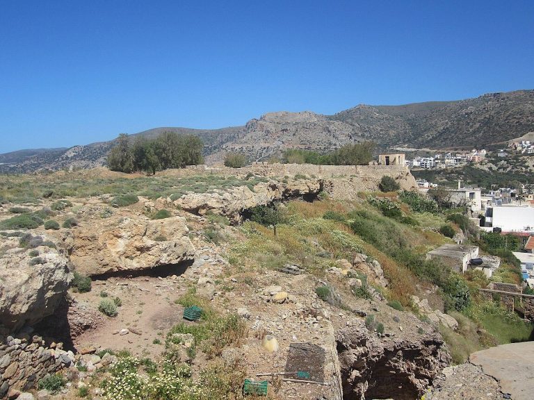
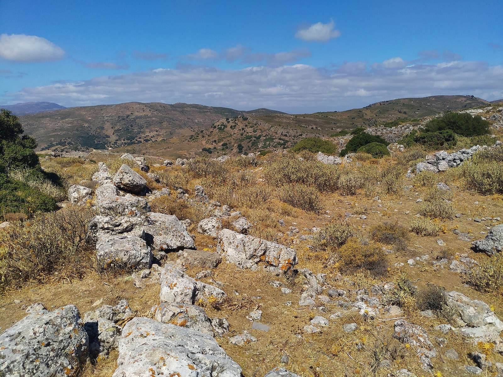
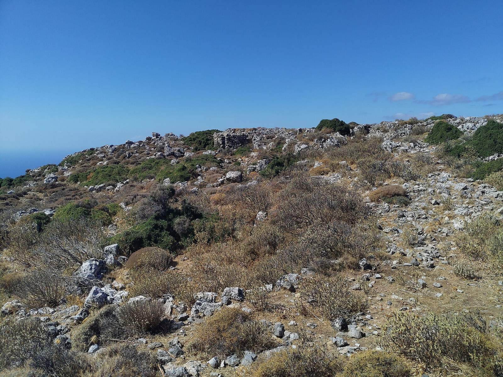
The city covered about 18 hectares on the high Kastri plateau, which measures approximately 490 metres from north to south and 375 metres from west to east. Its surface slopes down toward the west. A double defensive wall protected the settlement, while the steep, rocky eastern edge was left without fortifications. The northern and southern approaches were difficult to reach and may have had only partial defenses.
Defensive walls and access
Walls and bastion
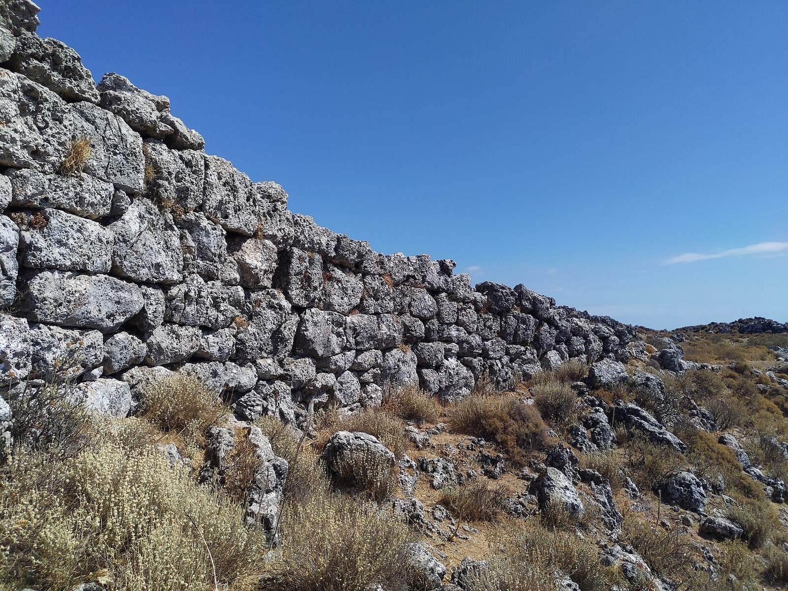
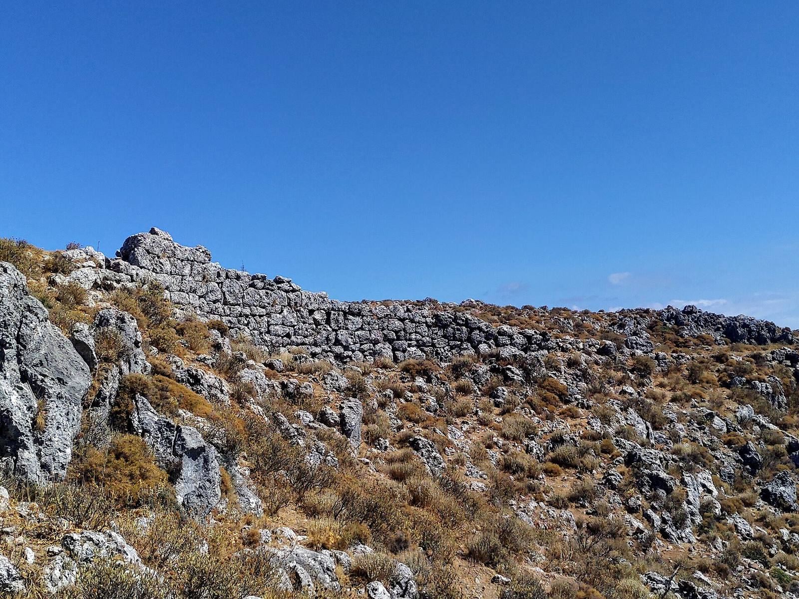
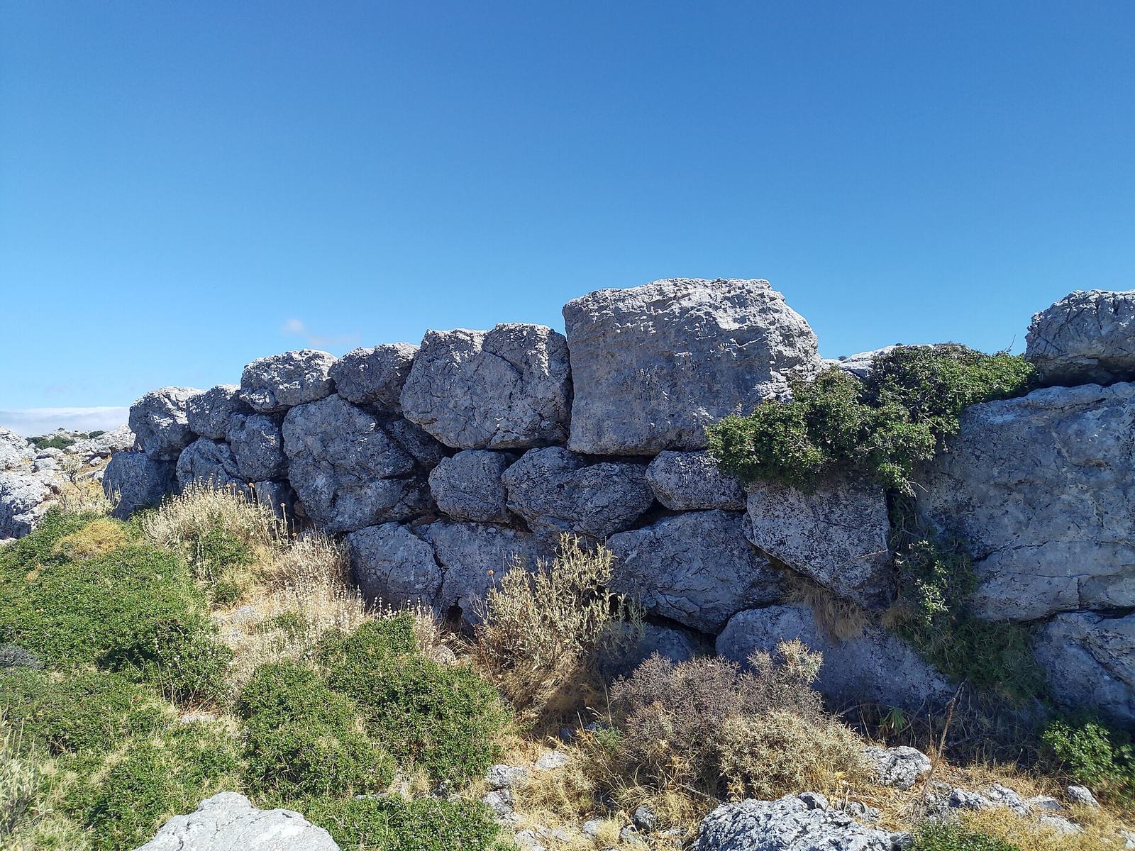
Visible sections of the defensive walls extend for slightly more than 800 metres. The western wall is about 500 metres long and follows the ground in a north-to-south course of roughly 380 metres. It bends around a ravine to the south, where it survives to a height of up to 4 metres. Built during the Late Classical or Hellenistic period, it uses polygonal masonry, in which irregularly shaped stone faces are fitted together. The roughly dressed blocks are about 1.8 metres thick overall, with smaller stones packed into the gaps.
About 150 metres south of the western wall’s northwest corner are the remains of a semicircular bastion, a projecting defensive structure. It extends about 4 metres from the wall and has a side entrance.
South gate and approach
The southern entrance is 3.1 metres wide. From the east, a ramp passes between rocks toward the gate. Within the walls, a path climbs at a right angle to the entrance, then turns right after about 40 metres, below a retaining wall.
Buildings near the southern approach
About 20 metres west of the gate, outside the wall circuit, are the foundations of a rectangular building that Savignoni and De Sanctis considered a possible temple. Beside the uphill path stands the remains of a rectangular building with several stone doorposts still in their original positions. Farther east, another rectangular building had a single-block stone doorpost measuring 2 metres high, 0.65 metres wide, and 0.57 metres thick. An architrave, the horizontal stone spanning supports, beside it measures 2.16 metres long, 0.65 metres wide, and 0.38 metres thick.
Buildings on the plateau
Large rectangular building
Near the semicircular bastion are the foundations of a building measuring 37.5 by 20.5 metres. Its exterior walls are about 1.1 metres thick and use polygonal masonry, with more smoothly finished outer faces than the city wall. Savignoni proposed that the entrance lay near the northwest corner and suggested the building might have been a ruler’s palace. A cistern shaft, the opening to a water-storage structure, lies about 7 metres south of its southeast corner.
Acropolis
The acropolis, the city’s high fortified center, occupied the plateau’s highest point, about 200 metres east of the large building. Its remains include a rectangular structure with a semicircular addition on the north. This may have been a tower and could have formed part of the upper town’s defenses.
Sanctuaries and finds
Sanctuary of Pan
East of the acropolis, an open-air sanctuary occupies a rocky plateau edged by cliffs up to 10.5 metres high. The sanctuary measures 22.7 by 6 metres and has an entrance on the north. It dates to the Hellenistic period or early Roman period. A statue of Pan once stood in a niche in the rock, with an altar in front.
Statue and terracotta finds
A headless marble statue of Pan, found on the acropolis, has goat legs and feet and wears a mantle. Its date is uncertain; it is now displayed at the Archaeological Museum of Chania. Terracotta objects found by farmers on the sanctuary plateau include figurines, fragments, and pottery. Savignoni and De Sanctis identified among them figures of Demeter, goddess of agriculture, and her daughter Persephone, also called Kore, as well as a head of Hades, ruler of the underworld, an ox head, a pig’s head, and part of a pig. They assigned the objects to the fifth and fourth centuries BCE and later, and interpreted them as evidence for a possible sanctuary of Demeter and Kore.
Tombs and route to Lisos
Tombs
Chamber tombs cut into the rock lie beneath the Agios Iannis rocky spur, about 200 metres southeast of the acropolis. Other chamber tombs and simple grave pits are situated on the slopes north and south of the city, beyond its walls.
Road to Lisos
Remains of a road linking Yrtakina with the coastal city of Lisos have also been identified.