Muyil: A Maya Coastal Trading Settlement in Mexico
Site at a Glance
- Rating
- 4.6
- Popularity
- Medium
- Country
- Mexico
- Primary era
- Classical
- External website
- Open
- Eras represented
- Classical, Medieval
- Civilizations
- Maya
- Site type
- City
On this page11 sections
History
Muyil, also known as Chunyaxché, was a Maya settlement and coastal trading center beside the Muyil and Chunyaxché lagoons in Quintana Roo, Mexico. The area was probably settled by the Late Preclassic period, with artifacts dating from about 350 BC, and the settlement later developed architectural groups in the Petén tradition during the Early Classic period. The names Muyil and Chunyaxché come from nearby lagoons and have been used since the Spanish colonial period, while the settlement’s original Maya name is unknown.
Early settlement and coastal connections
During the Classic period, Muyil’s population grew and its links with the coast became more important. By about AD 600, coastal trading connections probably extended toward the salt-producing areas of Belize. The settlement maintained connections with communities in present-day Belize during the Early Classic period, with inland areas during the Late Classic period, and with the Puuc region during the Postclassic period. It also lay within the political sphere of Cobá, an earlier regional power center in the northeastern Yucatán Peninsula.
The Caribbean Sea and the two lagoons provided routes for moving goods between the coast and the interior. Through these waterways, Muyil probably participated in the wider Maya Caribbean trade network and became an important pre-Hispanic coastal trading center.
Postclassic expansion and abandonment
During the Postclassic period, Muyil expanded while the occupied area and new construction at Cobá declined. The settlement first came under the influence of Chichén Itzá and later Mayapán, two major political centers in northern Yucatán. In the Late Postclassic period, Muyil became increasingly integrated into coastal trade, and its population increased.
The pre-Hispanic settlement was probably inhabited until the Spanish conquest of most of the Caribbean coast around 1550, when its inhabitants abandoned it. A village continued at the site until 1871. During the Caste War of Yucatán, part of the population left and founded San Antonio Muyil about 35 kilometers farther north.
Archaeological investigation and protection
Knowledge of the ruins was very limited during the nineteenth century, and modern reports about Muyil began in 1926. Archaeological fieldwork from 1987 to 1991 recovered approximately 32,000 ceramic remains and other artifacts dating from about 350 BC to AD 1550. The site now lies within the Sian Ka’an Biosphere Reserve, declared in 1986 and designated by UNESCO as a World Heritage natural site in 1987. Mexico’s National Institute of Anthropology and History and environmental authorities have since cooperated in protecting the archaeological remains and their surrounding ecosystem.
Remains
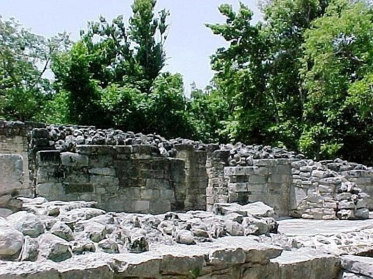
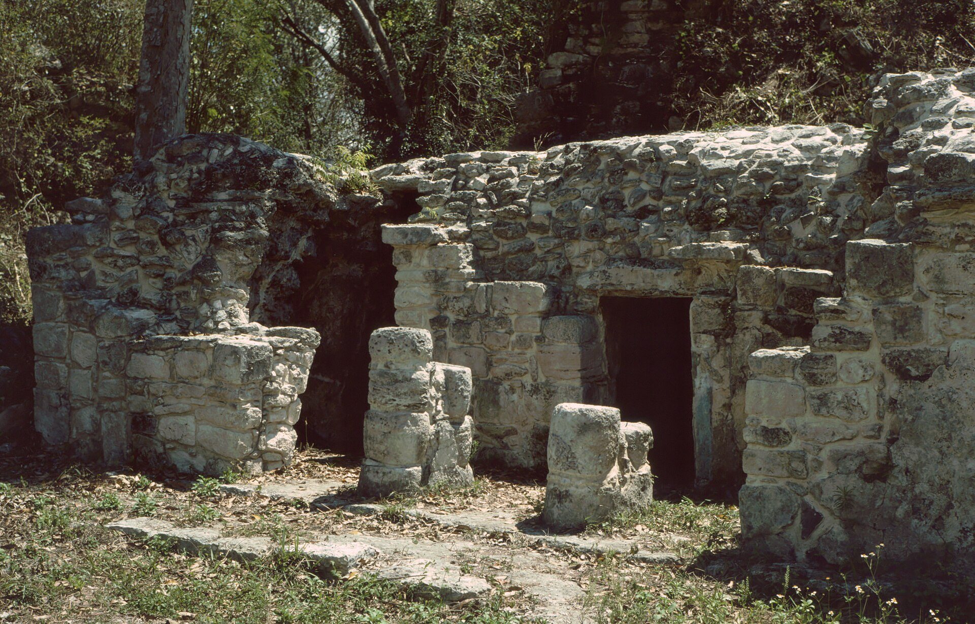
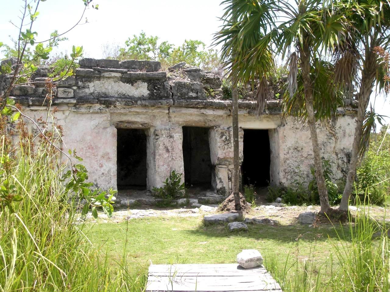
Muyil occupies about 50 hectares on a karst shelf approximately 8 meters above sea level, beside the freshwater Muyil and Chunyaxché lagoons. Channels connect the lagoons with the Caribbean coast, which lies about 12 to 15 kilometers away. The archaeological zone is divided into two principal sectors, Muyil A and Muyil B. Together they contain pyramid-temples, elite residential platforms, domestic platforms, altars, civic and religious buildings, house mounds, field walls, and other walls. The ceremonial district was probably enclosed by a wall.
Muyil A and its central groups
Muyil A contains a sacbé, a raised Maya road or causeway, approximately 500 meters long, together with numerous architectural groups. Some buildings retain stucco surfaces and traces of red, black, and blue wall painting. Smaller square platforms with stairways on all four sides occur among the groups. These platforms were used, or may have been used, by high-ranking people addressing the population.
Entrance group
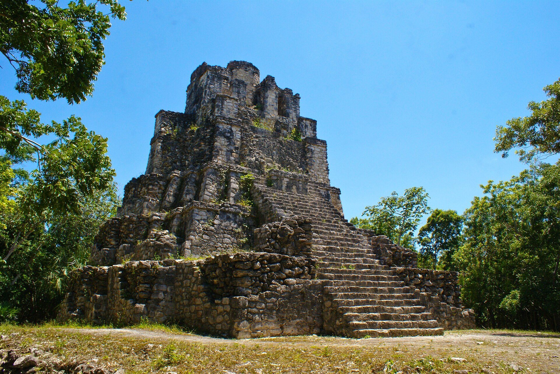
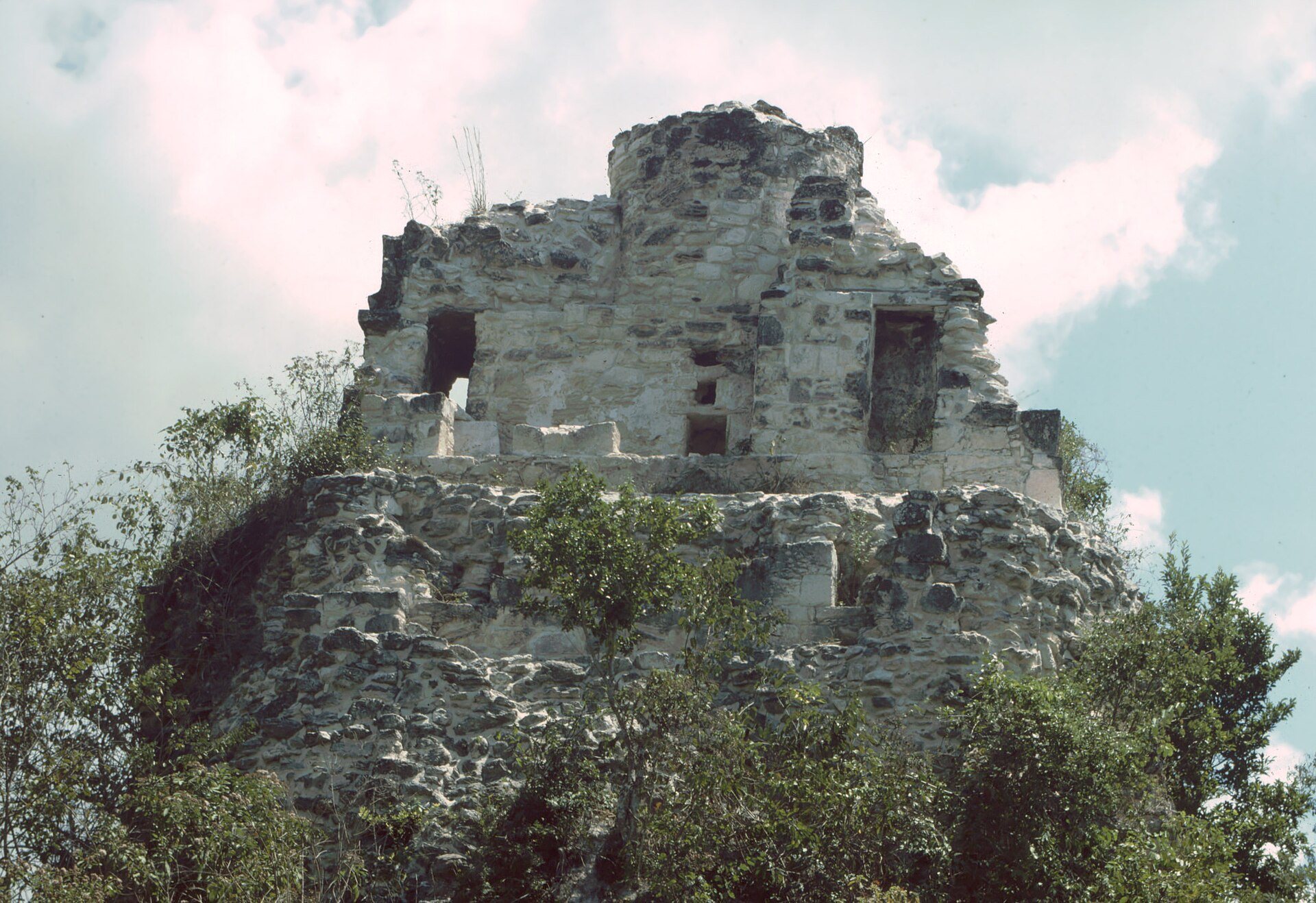
The entrance group contains several pyramid platforms, temples, and altars. Three foundations and the 17-meter-high building called El Castillo, or the Palace, date to the Early Classic period and reflect the Petén architectural tradition, associated especially with the Petén region of Guatemala and known for steep-sided pyramids and substantial temples.
El Castillo
El Castillo is a 17-meter-high pyramid-temple with a small round temple room at its summit, an unusual form in the region. The purpose of the round upper structure is unknown. One interpretation connects it symbolically with the Maya sacred ceiba tree. The building contains two altars, and an offering discovered in one of them in 2002 included numerous small beads and other objects made of green stone or jade, shells, and snail shells. A stucco frieze on the rear depicts two herons walking in opposite directions.
Structure 7H3
Structure 7H3 stands on a pyramid platform measuring approximately 15 by 20 meters. A low wall encloses the structure and may have restricted access to a select group, such as priests.
Great Platform and surrounding buildings
The principal architectural complex surrounds El Castillo. A temple lies to its northeast, while the Great Platform borders much of the western edge of a natural depression approximately 2.5 meters deep. Ceramic evidence indicates that the area around this depression was occupied first and remained the center of the settlement thereafter.
A large complex of house platforms lies immediately south of the temple and the Great Platform. Smaller platforms extend toward the urban periphery and gradually become fewer at distances of approximately 300 to 400 meters from the center.
Muyil B and the peripheral settlement
Muyil B contains fewer platforms, civic and religious buildings, and several walls. The peripheral walls and the enlargement of the settlement belong principally to its Postclassic development, when Muyil expanded and became more closely integrated into coastal trade.