Wheeldale Roman Road: A Contested Linear Monument on Wheeldale Moor
Site at a Glance
- Rating
- 4.4
- Popularity
- Very Low
- Country
- United Kingdom
- Primary era
- Classical
- External website
- Open
- Eras represented
- Classical
- Civilizations
- Roman
- Site type
- Infrastructure
- Remains
- Road
On this page9 sections
History
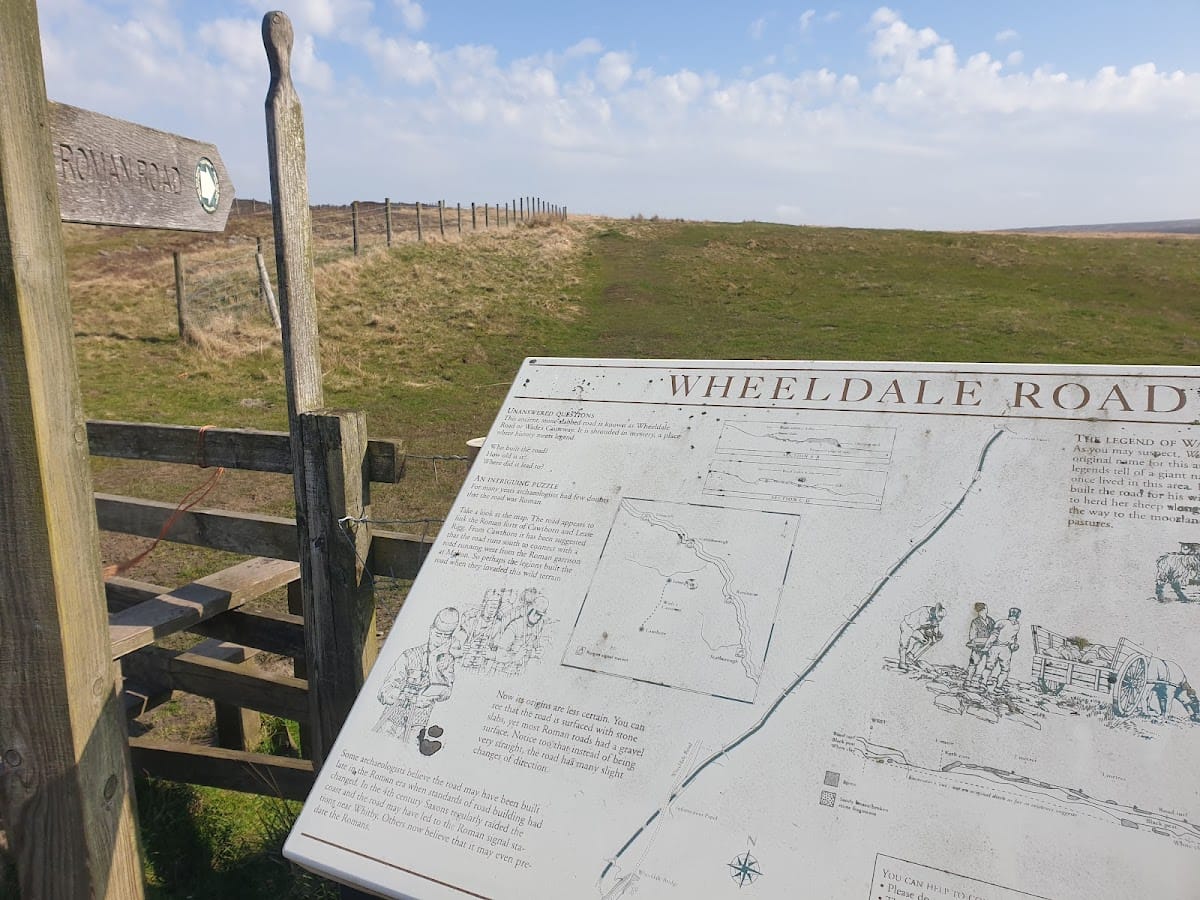
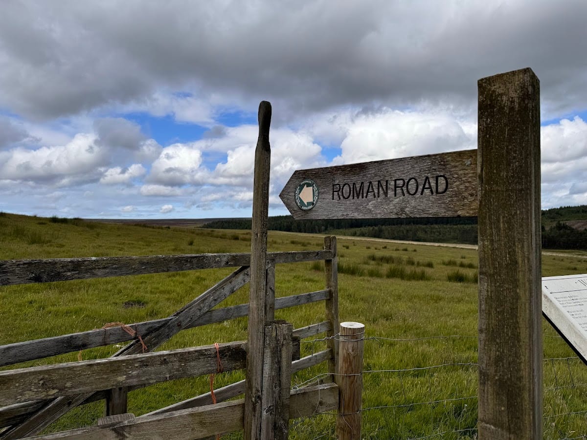
Wheeldale Roman Road, also known as Wade’s Causeway, is a linear monument in the United Kingdom that was long interpreted as a Roman road dating from the first to fourth centuries AD. It lies on Wheeldale Moor near Goathland, and its construction date, original function, route, and full extent remain uncertain. The monument was first recorded in 1720 as “Wade’s Causeway, a Roman Way,” after which it became the subject of sustained antiquarian and archaeological investigation.
Roman interpretation and proposed routes
For much of the eighteenth, nineteenth, and twentieth centuries, the monument was understood as part of a Roman route running from Amotherby, near Malton, towards the coast north of Whitby. Reconstructions have placed its length at approximately 33 to 35 miles, although proposed extensions vary considerably. Suggested connections include the Roman fort at Malton, Cawthorn Camps, the fort at Lease Rigg, a possible early fort near Whitby or Dunsley, the late fourth-century coastal signal stations, and possibly Guisborough. A signal station was a fortified lookout and communication installation, and those on the Yorkshire coast formed part of Roman coastal defenses.
The southern and northern courses remain conjectural. One traditional reconstruction takes the route through Cawthorn’s Camp D, which was a Roman fort, before descending towards Sutherland Beck. Another places the descent about half a mile farther west, along the line of the modern access to Sutherland Lodge. Beyond Lease Rigg, proposed routes lead variously towards Whitby, Dunsley, Goldsborough, Sandsend Bay, or Guisborough. A possible southern extension has likewise been linked with Cawthorn, Derventio Brigantum, Amotherby, Stamford Bridge, and ultimately York. Derventio Brigantum is the Roman name associated with a settlement in the region, possibly at Stamford Bridge or Amotherby. The road has also been proposed as a route for transporting jet inland from Whitby.
Roman dating has been placed as early as the campaigns of Gnaeus Julius Agricola, the Roman governor who expanded and consolidated Roman control in northern Britain during the late first century AD, particularly around AD 80 to 86. Other interpretations place construction in the fourth century, when renewed military activity and coastal defenses responded to raiding. These proposals attach different dates to the same uncertain monument rather than establishing a continuous construction history.
Alternative origins and changing interpretation
Other explanations identify Wheeldale as an Iron Age or otherwise pre-Roman road, a medieval route, or a much-modified Neolithic or early Bronze Age boundary bank. A dyke is a linear bank, sometimes accompanied by a ditch, that may serve as a boundary, defensive feature, or later trackway. Medieval interpretations have connected the monument with access to mineral resources exploited by regional religious houses, and separately with the wool trade, although the evidence for a medieval origin is limited.
Since 1997, the possibility that the structure was not originally a road has gained wider acceptance. The name “Wheeldale Linear Monument,” introduced during the 2010s, reflects the uncertainty over its purpose. By 2013, opinion was reported to favor a prehistoric origin, although radiometric surveys had not established a date. Proposed construction dates consequently ranged from approximately 4500 BC to around 1485 AD. The absence of a confirmed date has kept the monument’s identification open to debate.
Investigation and protection
The visible section was first cleared in the 1890s and was excavated more extensively between 1910 and 1920. Participants included gamekeeper James Patterson, Oxley Grabham of York Museum, members of the Yorkshire Archaeological Society, and others. In 1912, the Office of Works placed a 1.2-mile section under state guardianship. Further work took place near Grosmont Priory between 1936 and 1939, while Raymond Hayes carried out extensive investigations between 1945 and 1950 at Riseborough, Cawthorn, Flamborough Rigg, Lease Rigg, Grosmont Priory, and west of Aislaby. Smaller excavations followed in 1946 and 1962, and the Whitby Naturalists Club surveyed the course in 1963.
Later research included surveys by the Royal Commission on the Historical Monuments of England in 1981 and 1992, a survey by Plowman Craven and Associates in 1984, limited excavation and analysis during maintenance work in 1997, and aerial survey by Archaeological Research Services in 2010 and 2011. English Heritage proposed further excavation and remote sensing in 2012 to clarify the date, function, and wider extent of the monument, alongside investigation of medieval documentary evidence.
Stone robbing had altered the monument long before modern archaeological work. From at least 1586 into the early twentieth century, stone was taken for local roads, dry-stone walls, dykes, and farm buildings. Ploughing, tree felling, water-main construction, vegetation clearance, tracked and armoured vehicles, erosion, and weathering caused further damage. Maintenance between 1995 and 1997 addressed water erosion, including substantial repairs at the southern end. The monument has remained in state guardianship since 1912 and received legal protection against stone robbing and deliberate damage in 1913. It is a scheduled monument, a site protected under United Kingdom legislation because of its national importance, under reference 1004876.
Legend and historical significance
Local tradition attributes the monument to a giant named Wade. In one version, he built it to connect his home at Mulgrave Castle with the home of his wife, Bel, at Pickering Castle. Another says that Wade made the route so his wife could take her cow to market or pasture. The names Old Wife’s Trod, Auld Wife’s Trod, and Wade’s Wife’s Causey preserve variations of this tradition.
Wheeldale’s historical importance lies partly in the way its interpretation has changed. It was once accepted as a Roman military road, a major route constructed to move troops and supplies, but its form can also be explained by earlier or later linear earthworks. The continuing uncertainty illustrates the difficulty of distinguishing Roman roads from modified prehistoric banks, medieval routes, and other ancient monuments.
Remains
Layout and moorland setting
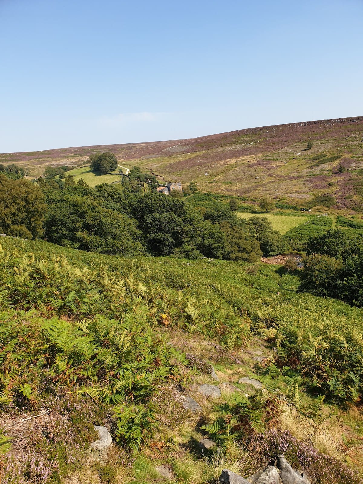
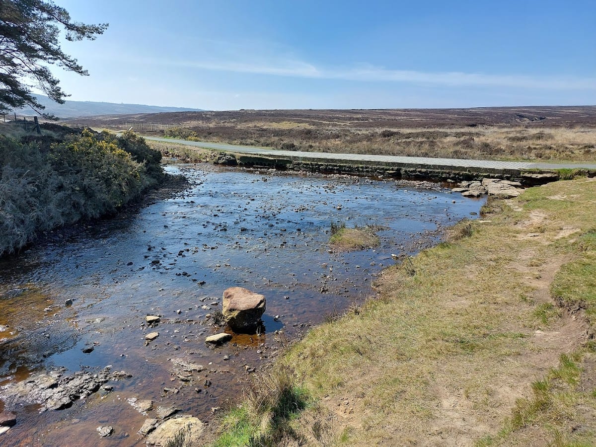
The clearly visible and excavated section extends for approximately 1.2 miles, or 1.9 kilometers, along the eastern edge of Wheeldale Moor facing Howl Moor. It runs approximately north-northeast at elevations of about 185 to 200 meters above sea level, across largely uncultivated heather moorland. Patches of sand and gravel overlie mixed sandstone and oolitic limestone of the Ravenscar Group.
The course is linear, but it is made up of several short, straight sections that sometimes pivot onto new alignments without an obvious topographical reason. Large quantities of stone lie on a raised embankment, making the surviving line readily identifiable. The total original extent is unknown. Reconstructions range from the visible section to as much as 25 miles, or approximately 40 kilometers, while various other fragments have been reported near Morley Cross, east of Keys Beck, Hazle Houses, July Park, Castle Hill, Grosmont Priory, Flamborough Rigg, and Keys Beck.
Raised embankment and stone surface
The monument consists of an agger, a raised embankment used as a road foundation and often intended to improve drainage across wet ground. It is made from soil, peat, gravel, clay, rubble, and loose pebbles. The visible bank generally rises between 0.4 and 0.7 meters, while its raised surface measures about 3.6 to 7 meters across. The exposed width is approximately 4 to 7 meters.
A gentle camber shapes the top of the embankment, which carries a surface of unmortared sandstone flagstones placed loosely against one another. The average flagstone is about 45 centimeters square, although some slabs reach 1.5 meters in width. This stonework probably represents a later or altered surface rather than the original finished road. Traces of gravel or smaller surface pebbles were noted during twentieth-century investigations, including evidence still observed in 1996. Some sections of the monument are now ruined and overgrown.
Drainage features and burial cists
Ditches about 1 meter wide run beside the embankment in some places, giving a possible overall width of roughly 5 to 8 meters. Their connection with the original construction remains uncertain. Numerous drainage culverts cross the structure at right angles and allow small becks to pass through it, while the raised form may have helped carry a route across poorly drained and frequently boggy ground. One section contains a central ridge whose purpose is unknown.
Several burial cists project through the surface along the monument’s course by as much as approximately 0.4 meters. A burial cist is a small stone-built or stone-lined container associated with prehistoric funerary practices. Their relationship to the embankment has contributed to the continuing debate over whether Wheeldale was constructed as a Roman road, modified from an earlier earthwork, or served another purpose.