Watling Street: An Ancient Roman Road Across Britain
Site at a Glance
- Popularity
- Very High
- Country
- United Kingdom
- Primary era
- Classical
- Eras represented
- Classical, Early Modern
- Civilizations
- British, Roman
- Site type
- Infrastructure
- Remains
- Road
On this page15 sections
History
Watling Street is an ancient road passing through Rochester, United Kingdom, whose Roman paving followed a trackway used for centuries before Roman rule. After the invasion of Britain in AD 43, the Romans began paving roads across the country, and Watling Street became a principal route connecting Kent’s Channel ports with London and continuing northwest through Verulamium, near modern St Albans, to Wroxeter.
Roman road and conflict
The road’s usual extent is given as Dover or Richborough to Wroxeter, although some definitions carry it farther north toward Hadrian’s Wall. The second-century Antonine Itinerary, a Roman list of routes and stopping places, includes the road in its numbered route system. The section from Richborough to Wroxeter formed part of Iter II, a longer itinerary of 501 Roman miles from Richborough to Hadrian’s Wall. Separate entries describe journeys from London to Dover and to Lympne. Their differing distances to Durovernum, now Canterbury, suggest that either port could serve as a route’s southern endpoint. Some definitions also include a northern extension beyond the Wall to Blatobulgium.
The road is traditionally linked with the Roman defeat of Boudica’s revolt in AD 61. Boudica, leader of the Iceni people of eastern Britain, had led an uprising against Roman rule, and her forces sacked London in AD 60 or 61. The Roman governor Gaius Suetonius Paulinus defeated the rebels the following year. The battlefield’s location is unresolved: suggested sites include Manduessedum near Mancetter, Lactodorum near Towcester, and a location in Shropshire.
In London, the Roman road was laid in the winter of AD 47–48 and renewed at least twice before the city’s sack. Its date became clearer after Christopher Wren’s rebuilding of St Mary-le-Bow following the Great Fire of London. Work there in 1671–73 revealed the road, and later excavations established when it had been built.
Early medieval names and boundaries
The name Watling Street comes from the Old English Wæcelinga Stræt. The Waeclingas were an early medieval people associated with the St Albans area. A different explanation links Wæcel to Wealhas, a word used for foreigners, including Celtic or Welsh peoples. The name first seems to have referred to a more restricted stretch. The road between Canterbury and London was also called Casingc Stræt, or Key Street, before it became part of Watling Street.
During the Saxon period, the Roman bridge over the Thames had probably collapsed or fallen into disrepair. Settlement moved from the old walled Roman city to Lundenwic, west of it, likely because the new settlement had easier access to a river ford. London’s former walled area was occupied again in the late ninth century as Viking pressure grew. By then the road’s paved surface had deteriorated, although its route continued to be used in many places.
The ninth-century agreement between Alfred of Wessex and the Danish leader Guthrum names Watling Street as a boundary. It is commonly understood as the southwestern edge of the Danelaw, the part of England under Danish law and rule, dividing it from lands controlled by Wessex and Mercia. The road also traditionally marked the northern and western limits of the Forest of Arden in Warwickshire. Later, the Laws of Edward the Confessor placed it among four roads covered by the king’s peace, meaning they received royal protection. It also served as an administrative boundary, including parts of the Leicestershire–Warwickshire border and the boundaries of the London boroughs of Harrow, Brent, Camden and Barnet.
Medieval use and turnpikes
Geoffrey Chaucer’s Canterbury pilgrims are thought to have travelled along the southeastern stretch between Southwark and Canterbury, though this connection is an inference. In 1707, Parliament established England’s first turnpike trust on the Bedfordshire and Buckinghamshire section. A turnpike trust was authorized to maintain a road and collect tolls. Over the following two years, this trust paved the stretch from Fourne Hill, north of Hockliffe, to Stony Stratford, spending £7,000.
Toll income fell below expectations. An act in 1709 extended the trust’s control but did not permit higher charges; by 1711, unpaid debts had led creditors to take over the tolls. Legislation in 1716 restored the trust under new supervision. Its authority ended in 1738 after an extension was refused in 1736. In 1740, a new act appointed trustees after residents of Buckinghamshire described the road as ruined.
In the early nineteenth century, Thomas Telford repaved the road at his own expense and operated it as a turnpike for mail coaches serving Ireland. He extended the route to Holyhead on Anglesey. The stretch southeast of London became known as the Great Dover Road, and tolls ended in 1875.
Remains
Watling Street survives as a long route whose Roman line is followed, paralleled or crossed by modern roads and streets. From the Kentish ports it ran through London and northwest toward Wroxeter. The Richborough–Wroxeter route is about 370 km long; broader definitions that include a northern continuation give a length of about 444 km.
Route and roadside settlements
Main alignment
The principal route connected the Kentish ports of Dubris (Dover), Rutupiae (Richborough), Lemanis (Lympne) and Regulbium (Reculver) with London, then continued through Verulamium to Viroconium Cornoviorum at Wroxeter. The Canterbury–Lympne road, sometimes distinguished as Stone Street, is followed for much of its length by the B2068. Another paved road ran from Canterbury toward the port and fortress at Reculver, which some interpretations treat as an alternative endpoint.
Road stations and junctions
Northwest of London, Roman stations, or named settlements and stopping places, included Durocobrivis (Dunstable), Lactodorum (Towcester), Magiovinium (Fenny Stratford), Venonis (High Cross), Bannaventa near Norton, Tripontium near Newton and Biggin, Manduessedum (Mancetter) and Letocetum (Wall). Verulamium and London lay farther southeast along the route. At Durocobrivis, Watling Street crossed the older Icknield Way. The Antonine Itinerary also gives an alternative connection between Venonis and Bannaventa via Tripontium, measuring 24 Roman miles rather than 17. A Roman mile was an ancient unit of distance.
Thames crossing and London alignment
River crossing
Watling Street crossed the Thames at London. Before completion of the Roman bridge, a natural ford near Thorney Island is associated with the route. A longstanding tradition places it between Thorney Island and the boundary of Lambeth and Wandsworth, but its exact position is uncertain. Sediment may have accumulated because of a Thames bend near Vauxhall Bridge and the joining of the Effra and Tyburn rivers. The area may also have marked the tidal head of the Thames during part of the historical period.
Road through London
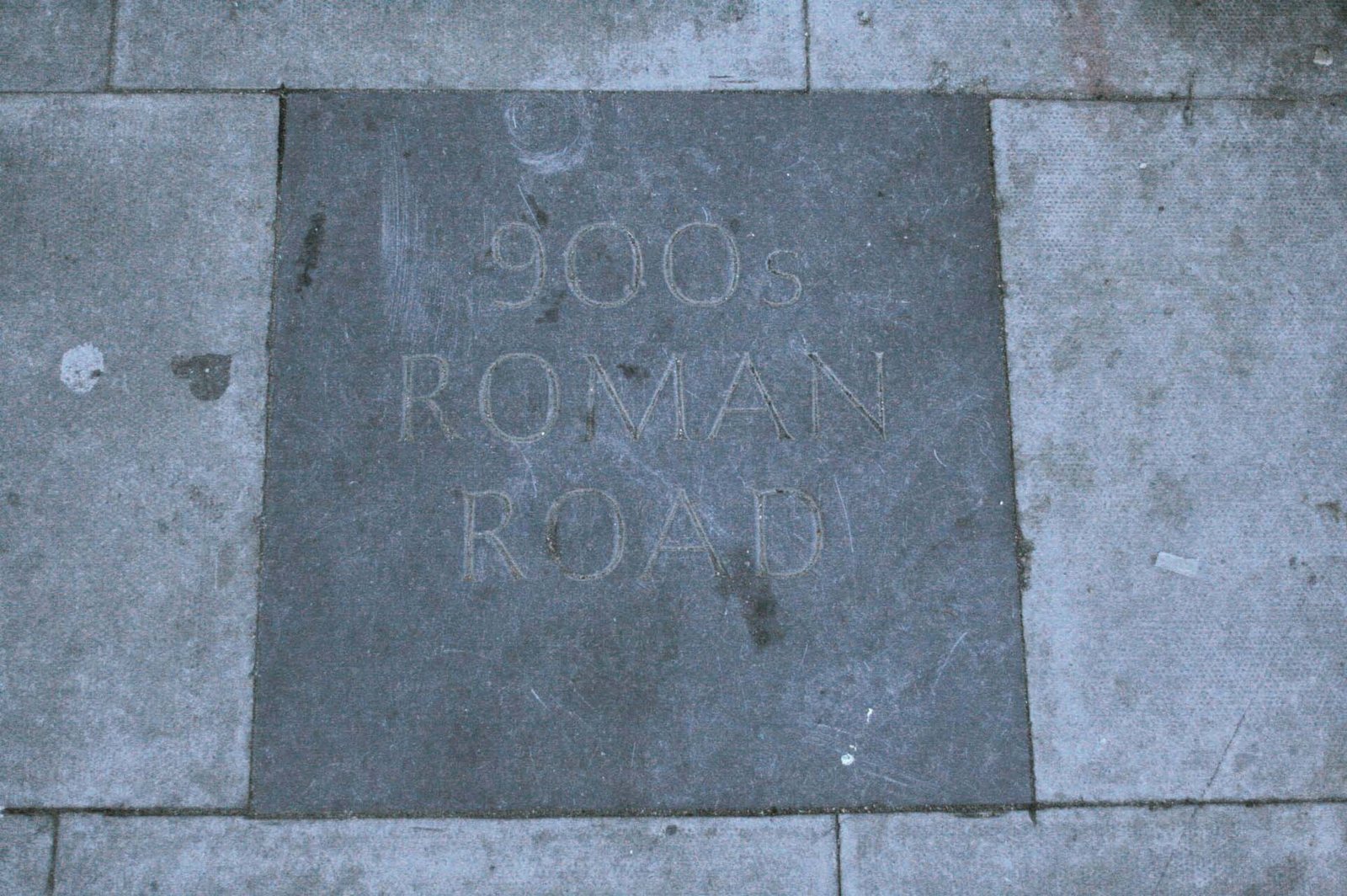
Around London, the Roman road was 7.5–8.7 m (25–29 ft) wide and surfaced with gravel. From the Thames bridgehead, it ran in a straight line toward Newgate in the London Wall, crossing Ludgate Hill and the Fleet. At this point, Watling Street continued northwest while the Devil’s Highway branched toward Calleva, near Silchester. The Roman road from London to York followed Ermine Street instead. Part of Watling Street is preserved beneath Old Kent Road, and a stretch near Mansion House station retains the Roman alignment through the City, continuing from the first London Bridge toward Newgate.
Southeastern approach
At Blackheath, the Roman line followed Old Dover Road, then crossed the area of present-day Greenwich Park toward a point possibly just north of Deptford Bridge. In central London, sections of the route are associated with street names including Edgware Road and Maida Vale.
Modern route and surviving names
Modern road corridors
Some modern roads follow or run alongside the old line, while other sections have been diverted. The road from Dover to London is followed or paralleled by the A2. Much of the London–Wroxeter route is taken by the A5, which continues toward Holyhead. In Milton Keynes, a new dual carriageway carries the A5 in places, while Watling Street forms part of the city’s grid-road system as route V4. The old alignment remains identifiable where traffic is restricted or has been redirected onto a bypass.
Watling Street place names
The name persists at locations along the route, including Bexleyheath, Canterbury, Gillingham, Strood and Gravesend, as well as Dartford and Watling Avenue in northwest London. Farther north it appears in or near St Albans, Dunstable, Milton Keynes, Towcester, Hinckley, Nuneaton, Atherstone, Cannock, Wall, Tamworth and Lichfield.