Vrieselhof: Castle and Provincial Park in Belgium


Site at a Glance
- Rating
- 4.4
- Popularity
- Medium
- Country
- Belgium
- Primary era
- Modern
- External website
- Open
- Eras represented
- Medieval, Early Modern, Modern
- Civilizations
- Belgian, Duchy of Brabant, Habsburg, Holy Roman Empire
- Site type
- Domestic
- Remains
- Castle
On this page14 sections
History
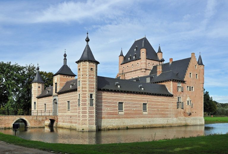
Vrieselhof is a castle and provincial park in Oelegem, Belgium, now part of the municipality of Ranst. The present castle was rebuilt in Neo-Flemish Renaissance style between 1917 and 1919, and the approximately 80-hectare estate is owned and managed by the Province of Antwerp. Its name derives from Jan van Vriesele, a nobleman from Kontich who acquired about 24 bunders of land in Oelegem, roughly 32 hectares, around 1300.
Medieval origins and seigneurial ownership
Jan van Vriesele gave the land as his daughter’s dowry, but no further details of the estate are known from that period. By 1450, a substantial farm with seigneurial rights stood there. In 1457, the property was described as a knightly court called the Court of Vriesele. Its owner, Matheeus van Steenbergen, received permission from Philip the Good, Duke of Burgundy, to establish a lower seigneurial court. This local court, operating under feudal authority, allowed a reeve to judge disputes in the surrounding community.
Josine van Steenbergen inherited the estate in 1495, when the castle moats were mentioned for the first time. Members of the Van Halmale family became its owners from 1509. Kosten van Halmale and Hendrik van Halmale were among them, and both served as mayors of Antwerp. During the Eighty Years’ War, the prolonged Dutch Revolt against Spanish Habsburg rule in the Netherlands, inhabitants of Oelegem repeatedly sought shelter in the castle.
From country residence to military use
The last Van Halmale owner, Alfons-Ignace van Halmale, died without children in 1788. The estate then passed to Charles-Ignace d’Oultremont and his wife, Anne-Henriette de Neuf. Anne-Henriette remained connected to the former owners through her grandmother, Barbara Anna Philippa van Halmale, the daughter of Antwerp mayor Alexander Jozef van Halmale. The new heirs used Vrieselhof mainly as a country residence and stayed there only occasionally.
After the closure of their Antwerp monastery in 1797, Augustinians, members of Christian religious communities shaped by the rule and spiritual tradition associated with Saint Augustine of Hippo, lived temporarily in the castle. In 1818, the building was rented as a gendarmerie barracks. Restoration work also took place during the nineteenth century, contributing to the continued use of the estate after its period as a seigneurial residence.
Destruction, rebuilding, and provincial ownership
Count Louis de Brouchoven de Bergeyck acquired the entire estate in 1910 and commissioned the rebuilding of the old castle. Belgian troops deliberately burned the building on 7 October 1914 for strategic reasons, shortly after the outbreak of the First World War. A replacement castle was constructed between 1917 and 1919 in the same Neo-Flemish Renaissance style as the recently completed building.
The grandchildren of Louis de Brouchoven de Bergeyck sold Vrieselhof to the Province of Antwerp in 1974. The estate was opened to walkers in 1975. From 1977 to 1999, the castle housed the Provincial Textile and Costume Museum. Limited resources meant that only part of its collection could be displayed, and the museum moved to Antwerp in 2002, becoming the Fashion Museum Antwerp.
In 2003, the Provincial Library Centre and administrative services moved into the castle. A library of Flemish classics opened there in 2011. The library centre moved to Antwerp in 2015, while the classics collection remained at Vrieselhof. Some rooms continue to be used by the municipality of Ranst for ceremonies. On 26 May 2005, the estate received protection as a landscape because of its aesthetic, historical, natural-scientific, and sociocultural value.
Provincial management has also addressed the estate’s natural and military heritage. In 2013, adjoining land was acquired to help preserve valuable blue-grassland habitat, a species-rich wet meadow associated with seasonally wet, nutrient-poor soils. Bunkers on the estate were cleared and equipped with special entrances for bats.
Remains
Castle and service buildings
Present castle
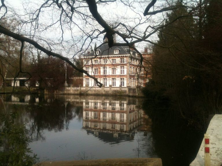
The present castle dates from 1917 to 1919 and follows the Neo-Flemish Renaissance style, a revival inspired by Renaissance buildings in Flanders. Its design includes stepped gables, decorative horizontal bands, and corner towers. The building stands within the historic estate and retains its role as the principal architectural feature of Vrieselhof, with rooms used for the Flemish classics collection and municipal ceremonies.
Coach house and stables
The former coach house and stables date from 1877. They have been converted into an establishment called Remise, a traditional term for a coach house. The front wall carries the coat of arms of the Lords of Vriesel, connecting the service buildings with the estate’s earlier seigneurial history.
Avenues and formal parkland
The castle park took shape during the eighteenth century. Around 1750, Alfons-Ignace van Halmale established an avenue system that included a route about one kilometre long between the castle and Rundvoorstraat. Its structure is clearly shown on the eighteenth-century Ferraris maps, detailed topographical maps of the Austrian Netherlands produced under the direction of Joseph de Ferraris. The estate originally extended to the Heidebeek and was surrounded by woodland and hay meadows, although the land beside the avenue was not entirely owned by the castle lord.
Behind the castle, an approximately eighteenth-century star-shaped arrangement of avenues known as the Sterbos remains recognizable. The area now functions as a children’s woodland. Its old oaks and beeches provide habitat for cavity-nesting birds, including green, great spotted, lesser spotted, and black woodpeckers. Middle spotted woodpeckers have also been observed there, alongside other birds, insects, and mammals.
The park was redesigned in the English landscape style during the early twentieth century, creating a less formal layout while leaving substantial parts of the older avenue system visible. The U-shaped castle moat dates from this redesign. The Vrieselbeek crosses the original park area between the castle and the Sterbos, adding another watercourse to the historic arrangement.
Waterways, wetlands, and woodland
Schijn valley and marshland
The northern part of the estate lies in the Schijn valley, where the Groot Schijn flows. Between the Groot Schijn and the Heidebeek is Vrieselgoor, a wooded marshland with partly preserved strip parceling. These raised strips of land are separated by drainage ditches. Across the Groot Schijn, the Goor is low-lying marshland that contains a section of valuable blue grassland.
Heidebeek, Rosse Beek, and Diep
The Heidebeek bounds the original park area, while the northern land beyond it is also part of the provincial estate. The eastern section, between the Heidebeek and the Groot Schijn, is bounded by the Rosse Beek. Beside this stream lies the Diep, an old seepage-fed swamp forest influenced by groundwater moving through the soil. No maintenance work is carried out there, preserving its established woodland character.
Groot Schijn and Vrieselbeek
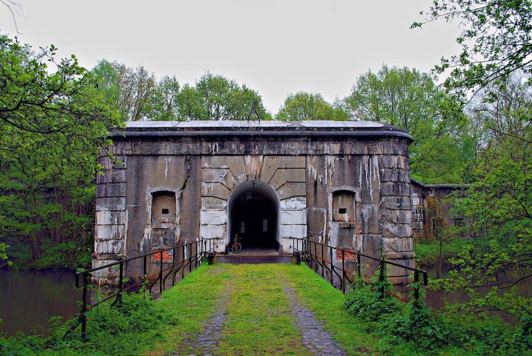
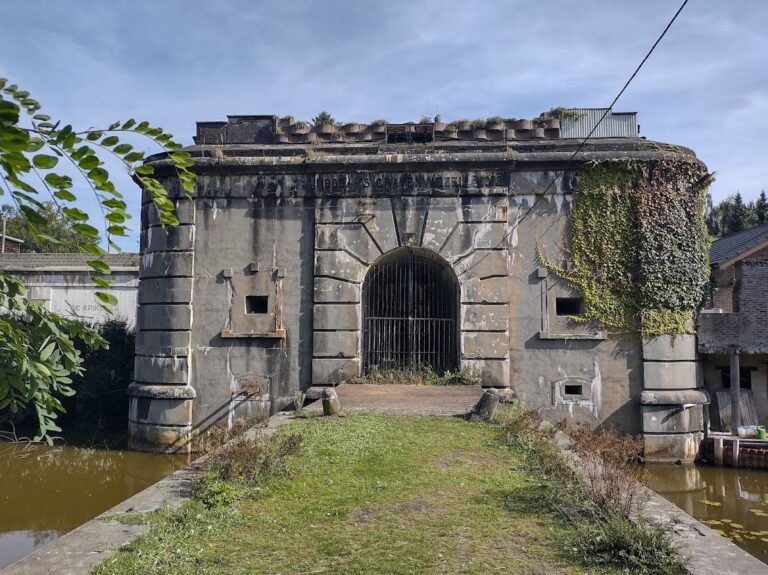
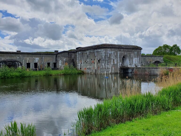
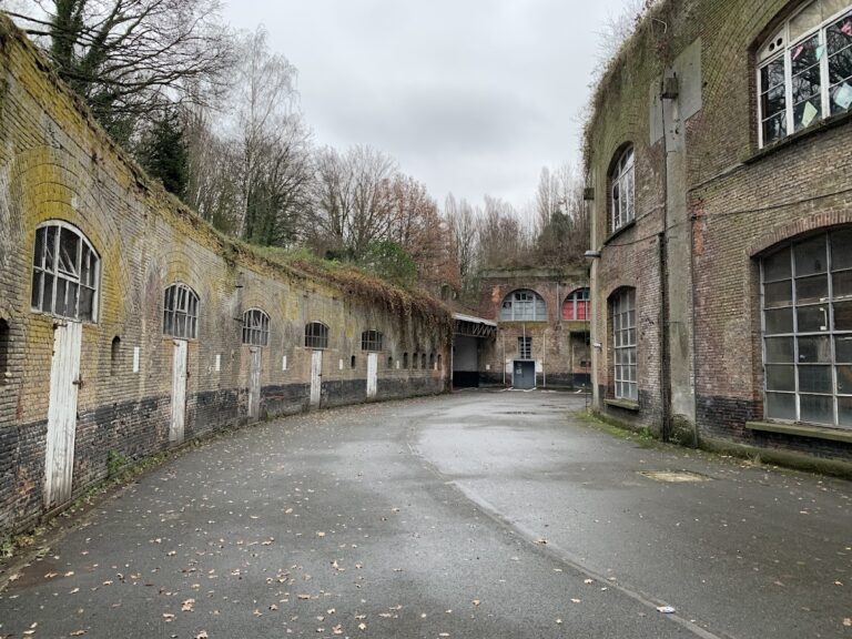
The Groot Schijn is described as a very healthy river that supports species including brook lamprey and gudgeon. The Vrieselbeek runs through the original park between the castle and the Sterbos. Across the Rosse Beek, outside the Vrieselhof estate, stands the Fort of Oelegem. The Schijn valley also retains features of its nineteenth-century landscape, and older woodland between the Heidebeek and the Groot Schijn is deliberately preserved as a valuable genetic reservoir.
Twentieth-century military remains
Three bunkers and an anti-tank ditch were built on the estate between 1939 and 1940. One bunker occupies a bend of the Groot Schijn near the Goor, while another stands in woodland near the entrance and the Fort of Oelegem. Near the outer edge of the Sterbos, an old bomb crater has filled with water. Farther on, across the path, remains of First World War trenches survive.
A visitor centre was established near the castle for information and educational activities. Together with the surviving castle, service buildings, avenues, waterways, wetlands, woodland, and military features, it forms part of the estate’s present physical character.