Verzhavsk Archaeological Site: A Medieval Fortified Settlement
Site at a Glance
- Popularity
- Medium
- Country
- Russia
- Primary era
- Medieval
- Eras represented
- Medieval
- Civilizations
- Unclassified
- Site type
- Settlement
- Remains
- Town
On this page8 sections
History
Foundation and medieval role
The Verzhavsk Archaeological Site is a medieval fortified settlement near Gorodishche in Smolensk Region, Russia, founded in 1136 within the East Slavic Smolensk Principality. A charter issued that year by Prince Rostislav of Smolensk provides the town’s first written mention. Its tithe assessment lists 1,000 silver hryvnias from the surrounding pogosts, local administrative or ecclesiastical districts, and 30 from the city. A hryvnia was a unit of silver and monetary accounting. The amounts indicate that Verzhavsk ranked second to Smolensk in size and economic strength.
The settlement stood on a portage along the route from the Varangians, Scandinavian peoples active in eastern Europe, to the Greeks. This major river-and-portage corridor linked the Baltic region with the Byzantine world. Vessels were hauled from the Gobza River, which flows into the Kasplya, to the Khmost River, a tributary of the Dnieper.
Ravaging and disappearance
Lithuanian forces ravaged Verzhavsk in the early 16th century. The town disappeared during the first half of the 17th century.
Local historian V. M. Gavrilenkov found the site while studying barrow groups and an ancient settlement in Smolenskoye Poozerye National Park. V. V. Sedov and L. V. Alekseev later continued the research. The site is a cultural heritage property of federal significance in Russia.
Remains
Layout and associated remains
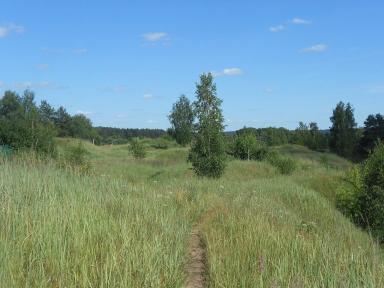
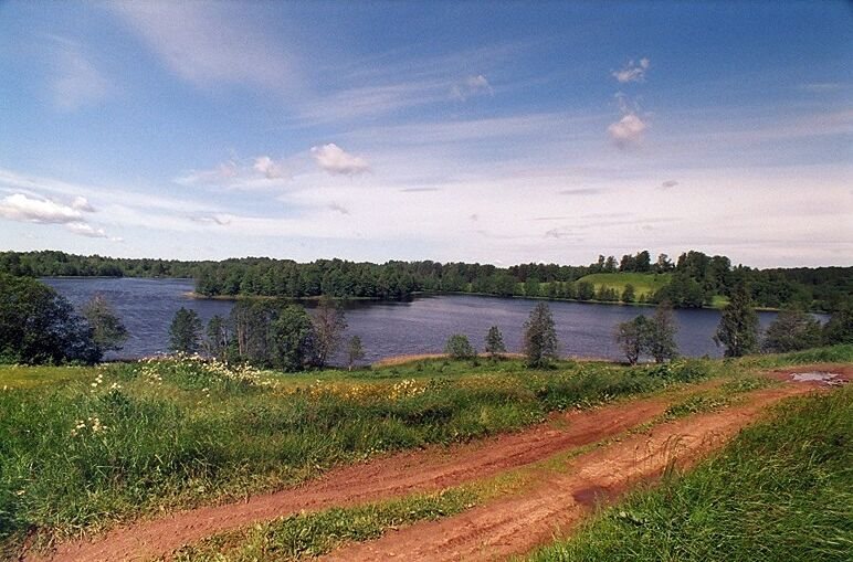
The archaeological site lies among Lakes Rzhavets and Poganoe, on the right bank of the Gobza River and about 600 metres west of Gorodishche. It includes a fortified settlement, an adjoining unfortified area, and a barrow cemetery in the forest.
Fortified settlement
The settlement occupied an oval platform measuring 100 by 45 metres, enclosed by an earthen rampart at least 2.2 metres high. The rampart was built when the settlement was established. The cultural layer, up to one metre thick, contains material from the 12th and 13th centuries.
Unfortified settlement
An unfortified settlement associated with the fortified town covered 0.2 to 0.3 hectares.
Barrow cemetery
The cemetery lies in the forest near the settlement. About 40 burial mounds were counted there in 1960.