Varbola Stronghold: Estonia’s Medieval Trading Centre and Rampart Fortress
Site at a Glance
- Popularity
- Medium
- Country
- Estonia
- Primary era
- Medieval
- Eras represented
- Medieval
- Civilizations
- Unclassified
- Site type
- Military
- Remains
- Fort
On this page7 sections
History
Varbola Stronghold is a circular rampart fortress in Estonia, built in the 10th–12th centuries and used as a trading centre. It was Estonia’s largest fortress of this circular type.
Trade, siege, and Danish rule
In 1211, Mstislav the Bold, a prince of Novgorod, besieged Varbola for several days. The conflict ended with a payment of 700 marks, a medieval unit of money or account.
During the Livonian Crusade, a series of campaigns to Christianize and conquer lands in the eastern Baltic, the Livonian Brothers of the Sword besieged the stronghold. Their master, Volquin, led the military religious order and demanded that Varbola’s inhabitants accept Christianity and provide hostages. They agreed. Danish envoys acting for King Valdemar II then requested the hostages, explaining that the king controlled northern Estonia and that Livonian bishops had promised him part of Estonia. Volquin, who had not known of that promise, agreed on the condition that the order’s rights remained intact. Varbola’s inhabitants subsequently became subjects of the Danish king.
The medieval Danish Census Book, a record of Danish lands and properties, identified the estate around Varbola’s trading centre as belonging to the Lode family, an Estonian-origin noble family.
Uprising and later use
Varbola took part in the St George’s Night Uprising, an Estonian revolt against foreign rule in 1343–45. Directed against German and Danish overlordship, the revolt was also described as anti-Christian and anti-German. Varbola is thought to have been one of two strongholds in Harju where rebels defended themselves in autumn 1343 before it was captured. The fortress lost its importance during the 14th century.
In the 16th and 17th centuries, the stronghold was used as a cemetery. Ludwig August von Mellin, a Baltic German cartographer and land surveyor, drew its earliest known plan in 1786. Archaeological excavations took place in 1938–41, 1953, and 1974.
Remains
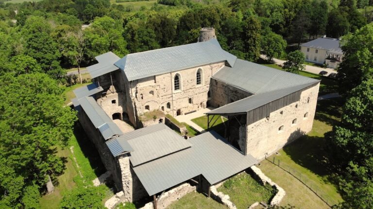
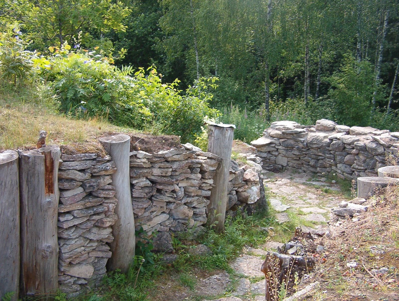
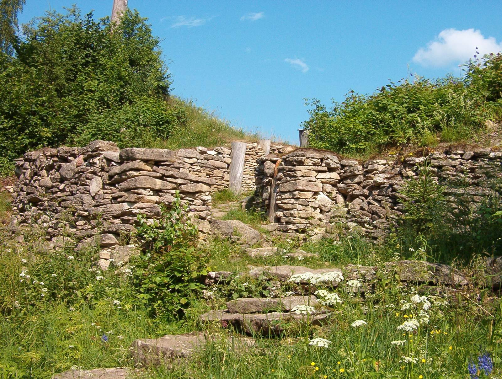
The circular fortress enclosed a courtyard of about two hectares within a rampart that ran around the entire perimeter. Its limestone walls were built without mortar and braced with timber. The surviving layout includes sections of rampart, entrances, interior building remains, and a central well.
Rampart and entrances
The rampart was about 580 metres long. It stood 7–10 metres high on the outside and 2–7 metres on the courtyard side. A rubble slope along the walls formed when the upper part of the rampart collapsed. The entrances had long passageways with several gates, and higher defensive towers stood within these sections. Parts of the rampart remain among the ruins, while the west gate has been restored.
Courtyard and interior structures
About 90 structures occupied the courtyard. These included accommodation buildings with furnaces, limestone floors, and foundations. A well at the centre of the stronghold reached a depth of 13 metres and has been restored.
Surviving features and finds
Wooden structures at the site evoke medieval projectile-throwing machines and siege towers. Bone dice were among the archaeological finds from Varbola.