Traiectum (Dom Tower): The Roman Fort Beneath Utrecht


Site at a Glance
- Rating
- 4.5
- Popularity
- Medium
- Country
- Netherlands
- Primary era
- Classical
- External website
- Open
- Eras represented
- Classical, Medieval
- Civilizations
- Merovingian, Roman
- Site type
- Military
- Remains
- Fort
On this page17 sections
History
Traiectum (Dom Tower) is a Roman auxiliary fort beneath Domplein in Utrecht, Netherlands. Established around AD 47–50 under Emperor Claudius as part of the Lower Germanic Limes, the Roman frontier along the lower Rhine, it occupied a raised river bank near a probable ford. The fort formed part of the northern frontier of the Roman Empire and later became the foundation for Utrecht’s long-standing ecclesiastical and administrative center.
Roman foundation and frontier service
The fort was built during the strengthening of the Rhine frontier associated with the Roman general Gnaeus Domitius Corbulo. The wider military arrangement may have begun several years earlier, in preparation for the invasion of Britannia in AD 43. Traiectum stood in a bend of the Rhine, although the precise crossing associated with its name remains uncertain. The site was listed in the Itinerarium Antonini between Mannaricium and Albaniana. It was not included on the Tabula Peutingeriana, possibly because it lay on a short branch road rather than the principal frontier route.
Traiectum developed through five Roman building phases. The first four relied mainly on timber and earth, while the fifth, begun around AD 200, used stone extensively. The ground level was repeatedly raised as the fort was rebuilt. Its garrison included Cohors II Hispanorum peditata from AD 88 or 89 until the later third century. This was an auxiliary infantry cohort associated with Spain, and it probably numbered about 500 soldiers. The units stationed at Traiectum during its earliest phases are unknown.
During the Batavian Revolt of AD 69–70, an uprising against Roman rule led by Gaius Julius Civilis, the fort was destroyed by fire along with other Rhine frontier forts as far as Castra Vetera. It was rebuilt in timber around AD 70 or shortly afterward. A wholly new fort probably followed in the early second century. Around AD 200, the installation was renewed, enlarged, and equipped with stone defenses.
Military withdrawal and civilian settlement
The Roman army abandoned Traiectum around AD 260–270, probably during the later third century. Fourth-century buildings and isolated finds show that people connected with Roman activity still reached the area, perhaps through patrols, but the earlier military occupation did not continue as a permanently maintained fortification after the last quarter of the third century. Civilian settlements, known as vici, had developed immediately east and west of the fort. These communities served the military population through trade, crafts, lodging, food, and other services, and included soldiers’ families. Together they covered about 3.8 hectares and may have held approximately 100 to 300 people. Both settlements were abandoned when the Roman military departed.
A small cemetery dating from the first to third centuries lay near the former German House, probably beside a road leaving the fort. Cremation urns containing human remains were accompanied by grave goods. Another cemetery about 600 metres southwest of the fort belonged to the earliest phase of the garrison. Roman agricultural or pasture traces were also found on the opposite river bank, about 200 metres north of the fort and approximately one kilometre south of it.
Frankish and Christian Traiectum
After the Roman departure, evidence from the site becomes sparse until the seventh century. Three early Frankish graves from the first half of the fifth century were found east of the fort beneath the present Pieterskerkhof school. Two were children’s graves with similar grave goods, a combination that may point to social prosperity.
During the seventh and early eighth centuries, the former fort became contested territory in the struggle between Christian Franks and polytheistic Frisians. Frankish king Dagobert I had a church built inside the fort around AD 630, but the Frisians destroyed it within a few decades. The earlier Roman temple may have been used by local people before the church was established, although the possible destruction of pre-Christian temples and sanctuaries during the Christianization of the site remains uncertain.
In AD 695, Pope Sergius I appointed the Anglo-Saxon missionary Willibrord as archbishop, and the Frankish mayor of the palace Pepin II designated Traiectum as Willibrord’s episcopal see. Around AD 700, Willibrord and Boniface used the site in the Christianization of the region, and Willibrord rebuilt the church. The fort may also have served as a residence for the Frisian kings Aldgisl and later Radbod while the Frisians controlled it. The Franks finally conquered Traiectum in AD 719.
After the conquest, the former Roman fort was strengthened and enlarged into a fortified settlement called Trecht. In AD 723, Charles Martel donated Traiectum and Fectio to the monastery at Utrecht. A monastic community and the Dom School developed within the enclosure, attracting prospective clergy from within and beyond the region. Sarcophagi, including examples from the eighth century, were found inside the fortified area and probably belonged to members of the clergy or to people otherwise connected with the Utrecht church.
Medieval ecclesiastical and urban center
From about AD 975, the trading district of Stathe grew west of the fort near the former western Roman vicus. A chronicle states that merchants burned the district and withdrew into the fort during a Viking attack on Utrecht in AD 1007. Around this period, the fortified settlement may have been surrounded by a moat and linked to Stathe by the wooden Borchbrug, later replaced by the stone Maartensbrug.
King Otto I granted Utrecht the right to mint coins in AD 936, and a mint was established within the fortification. The enclosure also housed toll collection, domain revenues, and the sale of gruit, a brewing ingredient. The introduction of the Aachen Rule, a canonical rule for religious communities, reorganized the two monastic communities inside the enclosure into collegiate chapters. Each chapter received its own property and legally privileged district, or immunity, under ecclesiastical authority.
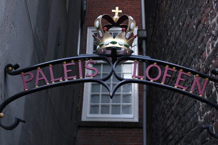
A major fire in AD 1017 led Bishop Adelbold II to move the castellum wall along the Oudegracht and build an episcopal palace. Around AD 1040, Emperor Henry III added the palace complex of Lofen. Bishop Bernold and Henry III probably also established a group of churches around Adelbold’s new cathedral. A burgrave, the official responsible for the defense of the fortification, is first recorded at the site in AD 1081. Permanent guards were supplied by the oppidani, or castle retainers.
Utrecht received city rights in AD 1122 and was enclosed by new town defenses. The fortification was last used militarily in AD 1159, when Bishop Godfrey of Rhenen came into conflict with ministerials and citizens. Ministerials were members of a dependent service nobility who performed administrative and military duties for rulers or church lords. The bishop’s tower within the enclosure was besieged, and after escaping, Godfrey built new episcopal castles outside the city. The Borchgracht was partly filled and the fortification walls had been demolished by the thirteenth century at the latest.
Archaeological rediscovery and protection
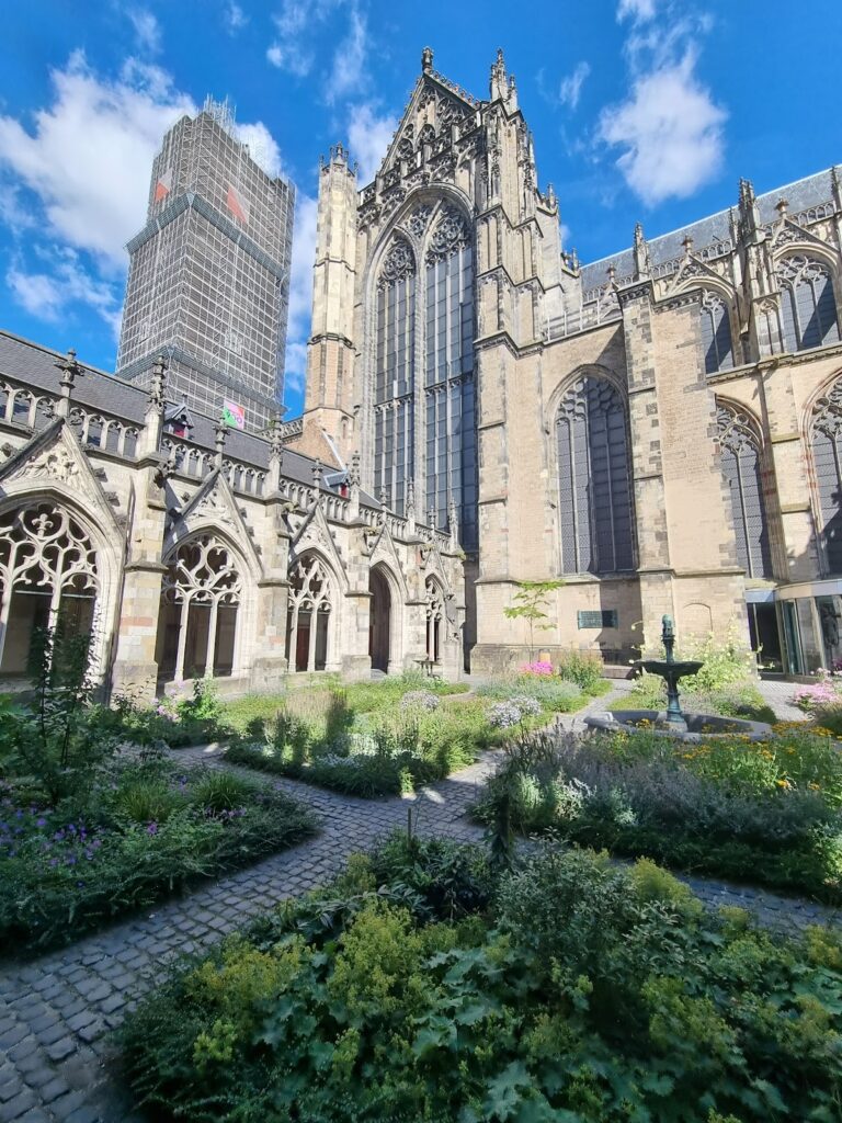
Roman remains beneath Domplein were first recognized during foundation work near Utrecht Cathedral in 1927, when pottery sherds and roof tiles were found. The first definitive excavation followed in 1929. Albert van Giffen and C. W. Vollgraff carried out repeated excavations on Domplein through 1949, and later investigations continued when building work provided access to the buried remains. By about 2000, approximately five percent of the castellum had been excavated. Further excavation began in 2011 beneath the former nave of the Dom Church, where van Giffen had previously worked.
Traiectum forms part of the UNESCO World Heritage property Frontiers of the Roman Empire, The Lower Germanic Limes, inscribed in 2021. Its archaeological importance rests partly on the preservation of timber and other organic remains within the largely unexcavated interior, together with surviving standing elements from the final stone phase. The former fort and its archaeological remains are protected as a national monument and archaeological monument, and the Roman site has influenced the historical development and identity of modern Utrecht.
Remains
The fort and its defenses
Traiectum lies beneath and around Domplein, approximately 3.8 metres below the present ground level. The earliest enclosure was an irregular rectangle of timber and earth covering about 1.7 hectares. The final stone fort measured approximately 124 to 125 metres by 150 to 152 metres and covered roughly 1.87 hectares. It stood on a raised river bank 1.20 to 1.45 metres above Amsterdam Ordnance Datum, while the adjacent civilian settlements occupied ground between 0.60 and 0.90 metres above that datum. The river probably approached from the south, passed close to the fort, and then followed the courses of the present Kromme Nieuwegracht and Oudkerkhof before flowing west.
Ramparts, ditches, and gates
The first fort had an earth-and-timber rampart with towers and two external dry ditches. A protective ditch continued around the fort throughout its Roman occupation. In the final phase, the ditch was roughly nine metres wide and pointed in section. The outer wall was built of stone, including Eifel tuff, and had stone corner towers. Later gates had projecting semicircular towers, and the footings of two of the four gates have been excavated. Parts of the outer wall are indicated in the modern paving of Domplein.
Main roads
Two principal roads crossed the fort at right angles. The east-west via principalis and the north-south via praetoria were provided with gutters. The route leading west from the via principalis continued along the line of the present Zadelstraat and Servetstraat, then across Maartensbrug toward the western civilian settlement.
Command buildings and military accommodation
Headquarters building
The principia, or headquarters of the fort, stood where the two main roads met. Rebuilt several times, it formed a roughly 25 to 27 metre square building at least five metres high. The first phases used timber, while later construction employed tuff stone. The complex contained an atrium or courtyard, a cross hall, and five rooms. In its later form, a portico surrounded the atrium and a single entrance opened on the north side. The building was fully excavated.
During the fifth phase, the headquarters had hypocaust heating, a system that warmed floors with circulating hot air. Its central room was interpreted as a standards shrine, called a sacellum or aedes, and contained an altar. A second stone altar stood in the middle of the atrium. Part of the stone arch from the entrance is displayed in the Centraal Museum.
Barracks
The barracks were initially built from wooden posts and wattle walls covered with clay. Some later barracks used tuff stone. Excavation has revealed partial barrack buildings belonging to several construction phases, preserving evidence of the fort’s repeated rebuilding and changing ground levels.
Possible Roman temple
A stone building measuring approximately eight by seven metres stood at the intersection of the main roads during the fifth phase. Its remains lie beneath the section of the Dom Church nave that disappeared in a whirlwind. The building was probably a Roman temple. Sculptural finds from the area include representations of Jupiter and Juno, as well as a locally made statuette interpreted as Minerva or Mars.
Civilian settlements and burial grounds
Eastern and western vici
The eastern vicus, a civilian settlement attached to a Roman military installation, lay near the present Pieterskerkhof and the river bank. It covered approximately 2.2 hectares. The western settlement, near the present Buurkerk, covered about 1.6 hectares. Both probably extended along the projected lines of the fort’s main roads. During the second half of the second century, their ground level was raised by about half a metre, probably in response to increasing floods.
Cemeteries and later finds
The cemetery near the former German House contained cremation urns with human remains and grave goods and probably stood beside a road leaving the fort. A second cemetery about 600 metres southwest belonged to the earliest garrison. The nearby early Frankish cemetery contained three graves, including two children’s graves with comparable grave goods. Sarcophagi, including examples from the eighth century, were found within the fortified area.
Two buildings of uncertain function and isolated pottery and coins from the fourth century were found in the former fort and vicus areas. The coins include issues of the emperor Galerius, Crispus, the eldest son of Constantine, and Helena, Constantine’s mother. These finds accompany the buried fort, its civilian settlements, and the later remains that preserve Utrecht’s development from Roman frontier installation to medieval church center.