Timnah (Tel Batash): An Ancient Town in Israel’s Shephelah
Site at a Glance
- Popularity
- High
- Country
- Israel
- Primary era
- Iron Age
- Eras represented
- Bronze Age, Iron Age
- Civilizations
- Egyptian, Philistine
- Site type
- City
On this page17 sections
History
Timnah, conventionally identified with Tel Batash, was an ancient town in Israel’s Shephelah, the lowland between the coastal plain and the Judean highlands. Its mound records settlement from the Chalcolithic, or Copper Age, through the Persian period. The identification of Tel Batash with the Timnah in the Samson story is widely accepted, although not every biblical reference to Timnah necessarily concerns this town.
Bronze Age occupation
Occupation at the site began in late prehistory, including the Chalcolithic, and continued through successive Bronze Age phases. The earliest excavated settlement layers date to Middle Bronze Age II, between 1750 and 1550 BCE. A settlement was later built above the remains of a fortress that probably fell around 1600 BCE. This occupation belongs to the transition between Middle Bronze Age II and Late Bronze Age I. Settlement continued during the Late Bronze Age, then ended at the close of that period.
Iron Age town and regional conflicts
The town was re-established in Iron Age I, during the twelfth and eleventh centuries BCE. Evidence points to a Philistine community, part of a people of the southern Levant associated with coastal settlements. In the tenth century BCE, a more sparsely occupied settlement probably fell during the campaign of Shoshenq I, an Egyptian pharaoh of that century.
After a break in occupation, settlement resumed in a later Iron Age phase, possibly during the reign of Uzziah, king of Judah. The town was probably partly destroyed in the regional campaign of Sennacherib, an Assyrian king. A later settlement prospered. In the late seventh century BCE, when Egypt controlled the Levant, a fortress at Timnah was associated with Greek soldiers serving for pay in the Egyptian army. During the Babylonian conquest, most of these soldiers withdrew to Egypt, while some were taken captive to Babylon. The town was eventually abandoned during the Persian imperial period.
Biblical and later references
Biblical accounts connect Timnah with the story of Judah and Tamar, identify it as a point on Judah’s northern boundary, and place it in the account of Samson, a biblical judge, or pre-monarchic leader, and his marriage to a Philistine woman. Chronicles also recounts the Philistines’ capture of Timnah and settlements dependent on it. These references do not establish that every account describes the same place. Some identify the Timnah in the Judah-and-Tamar story with Khirbet et-Tibna, northeast of Moshav Avi’ezer. Earlier researchers also linked that site to Samson’s Timnah, and the place-name may have shifted there after Tel Batash declined.
Later texts refer to a Timnah as a major district town in the Shephelah. Josephus includes it alongside Emmaus, Lydda, and Jamnia in his account of the Second Temple period, the era between the rebuilding of the Jerusalem Temple after the Babylonian exile and its destruction by Rome in AD 70. Timnah also appears in rabbinic writing, including in connection with the sage Simeon the Temanite, in Eusebius’s Onomasticon, a work listing biblical place-names, and on the Byzantine-era Madaba Map, a mosaic map of the Holy Land. These later references do not by themselves demonstrate that the town at Tel Batash remained occupied.
Identification and excavation
Charles Clermont-Ganneau found the mound in the nineteenth century and interpreted it as a Roman military camp. Benjamin Mazar and Jacob Kaplan surveyed the area in the 1940s. Mazar first proposed identifying the mound as Ekron, but after Ekron was located at Tel Miqne, the identification of Tel Batash shifted to Timnah, supported especially by the site’s fit with the biblical geography.
Excavations took place over twelve seasons from 1977 to 1989 under Amihai Mazar and George L. Kelm. The work revealed twelve settlement layers, tracing occupation from late prehistory to the Persian period and confirming that settlement ended during that period.
Remains
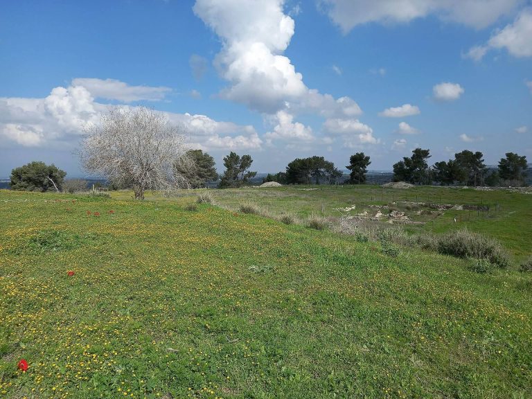
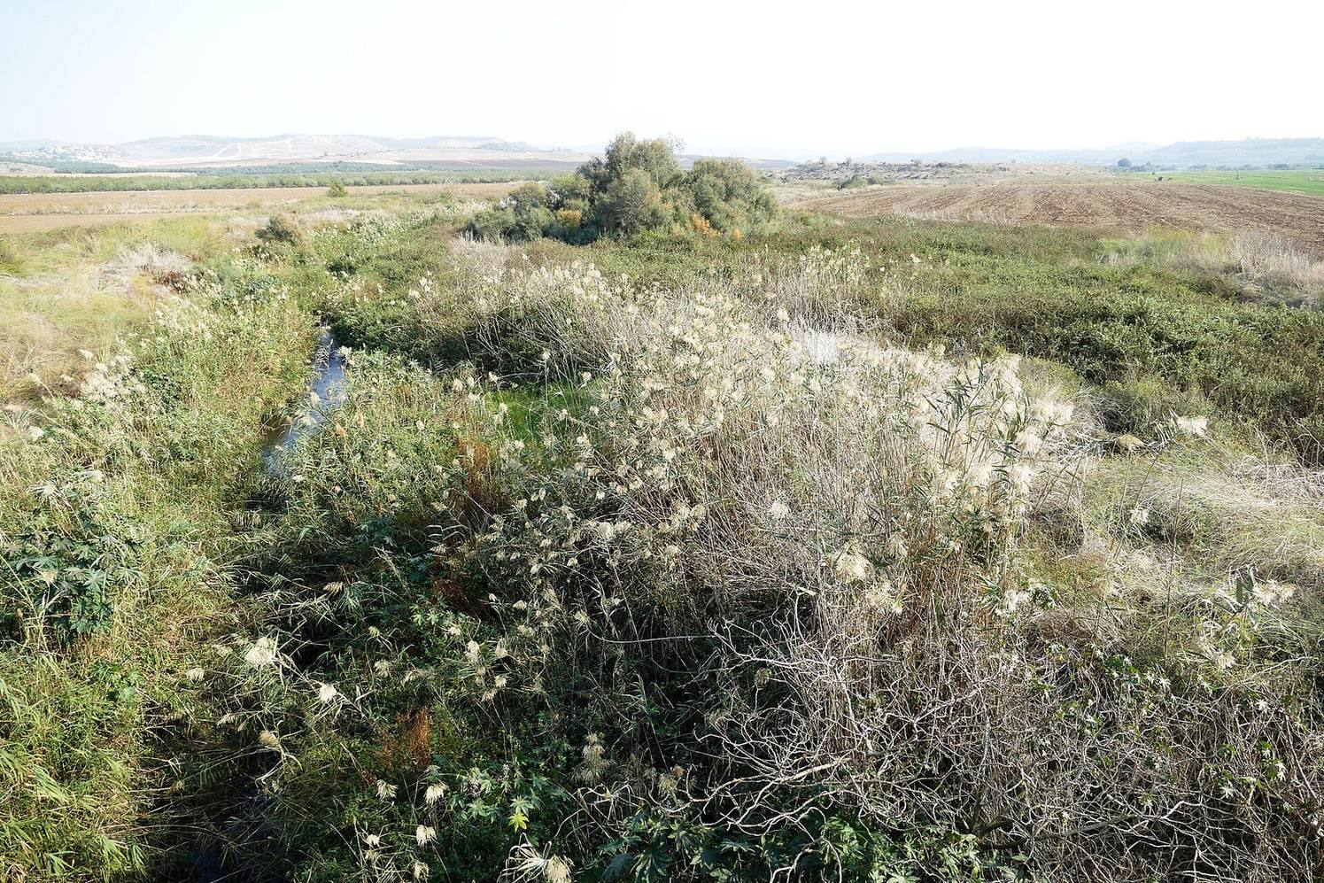
Tel Batash is a mound formed by successive layers of occupation, set on a flat plain of water-deposited soil on the western bank of the Sorek Valley. It lies west of Kibbutz Tzora, about one kilometre south of Tal Shahar and seven kilometres northwest of Beit Shemesh. The site covers about 40 dunams, or four hectares (10 acres), at an elevation of 124 metres. Across the valley, remains include a Roman road and several settlement mounds with evidence of occupation from the Neolithic and Chalcolithic periods through the Bronze Age.
Bronze Age architecture
Rampart and fortress
An earthwork rampart, a raised defensive bank, enclosed the earliest excavated settlement. At the mound’s northeast corner, excavators exposed part of a monumental building, probably the town fortress. A settlement layer above the fortress ruins dates to the end of Middle Bronze Age II or the beginning of Late Bronze Age I.
Late Bronze Age houses and finds
A later Late Bronze Age layer contained a large two-storey house with an unusual plan for its period. Two square rooms held dozens of pottery vessels, including imports from Cyprus. A separate settlement deposit dated to the fourteenth century BCE had been heavily burned. It contained pottery vessels, bronze objects, five cylinder seals, engraved cylinders rolled over a surface to leave an impression, and two scarabs, beetle-shaped objects used as seals or amulets, bearing the names of the Egyptian pharaoh Amenhotep III and Queen Tiye.
Iron Age buildings and defenses
Philistine settlement
The Iron Age I town extended across most of the mound and was densely built, with mud-brick structures and fortifications. Its finds include pottery characteristic of Philistine culture, a seal showing a musician playing a lyre, and a clay bulla, a small seal used to authenticate a document or container, impressed with a human figure and an animal.
Tenth-century settlement
Remains assigned to the tenth century BCE are sparse. They include walls from modest houses and pottery with a red coating, its surface roughly polished by hand.
Later Iron Age walls and gate
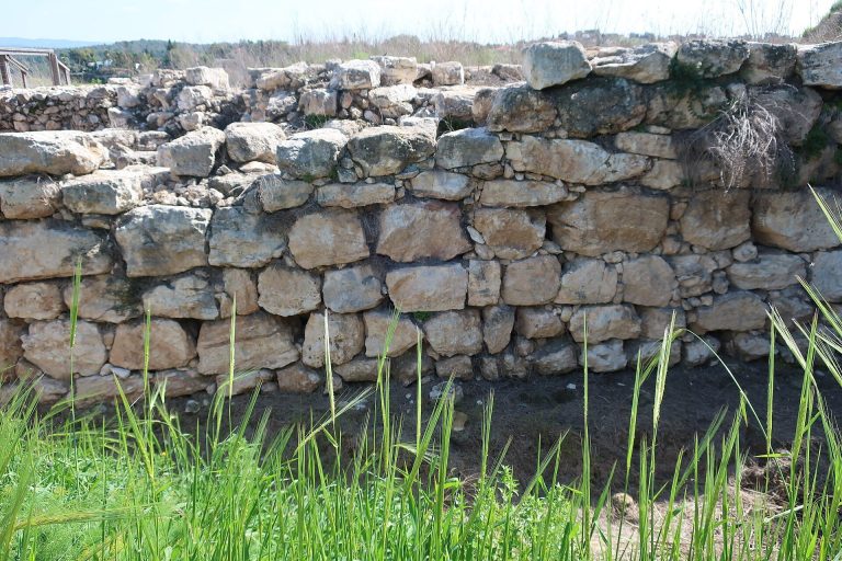
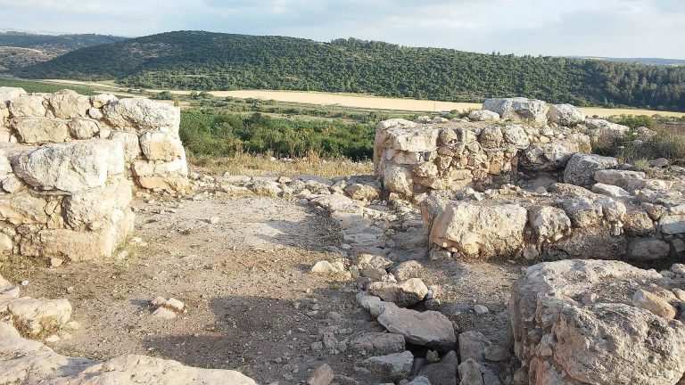
In a later Iron Age phase, the town’s defenses included a substantial stone wall, a sloping defensive surface, and a retaining wall that held back soil. The eastern city gate was uncovered in an area where towers from the preceding settlement layer had stood. Pottery from houses in this phase resembles coastal-region wares more closely than pottery typical of Judah. Finds include storage jars, one bearing an inscription meaning “To the King,” and three Phoenician-style clay molds for figurines of nude women.
Late seventh-century fortress
Greek pottery occurs in the layer associated with the late seventh-century BCE fortress. It is not present in the layer linked to the Babylonian conquest.
Presses, houses, and drainage
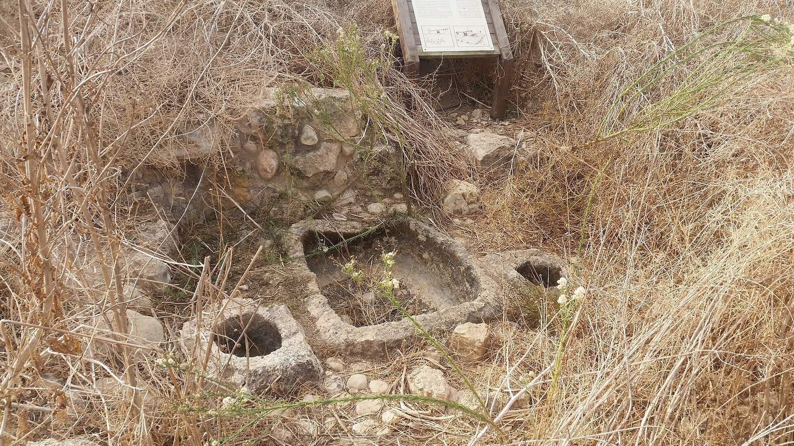
Olive and wine presses
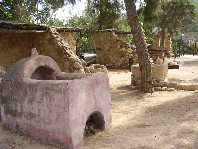
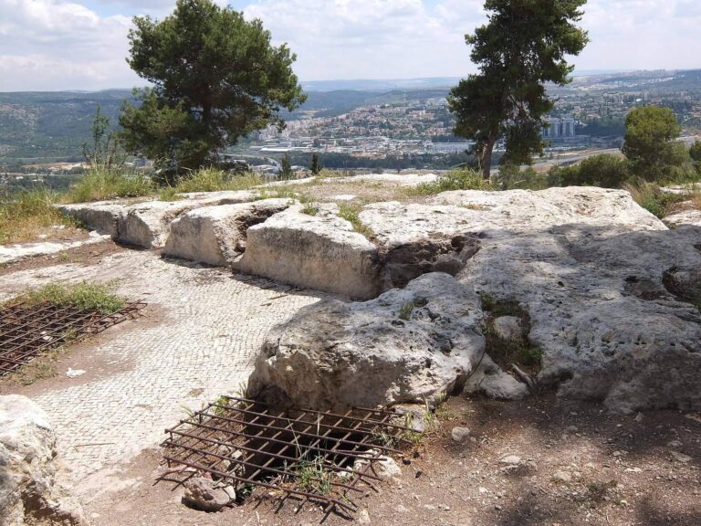
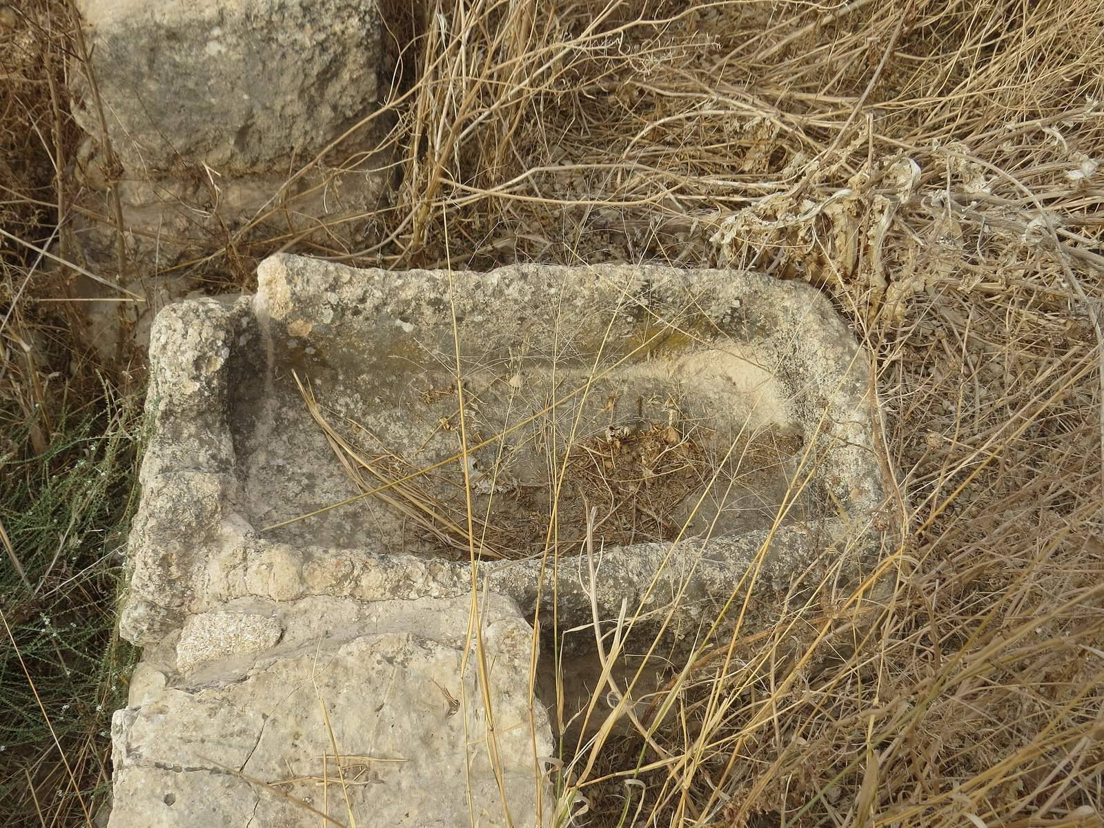
A winepress and an olive press are among the remains. The olive press had a central basin for crushing olives with wooden beams. The crushed olives were placed in sacks over small side pits, then pressed with a heavy wooden beam and weights.
Houses and drainage channel
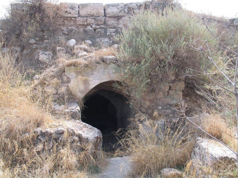
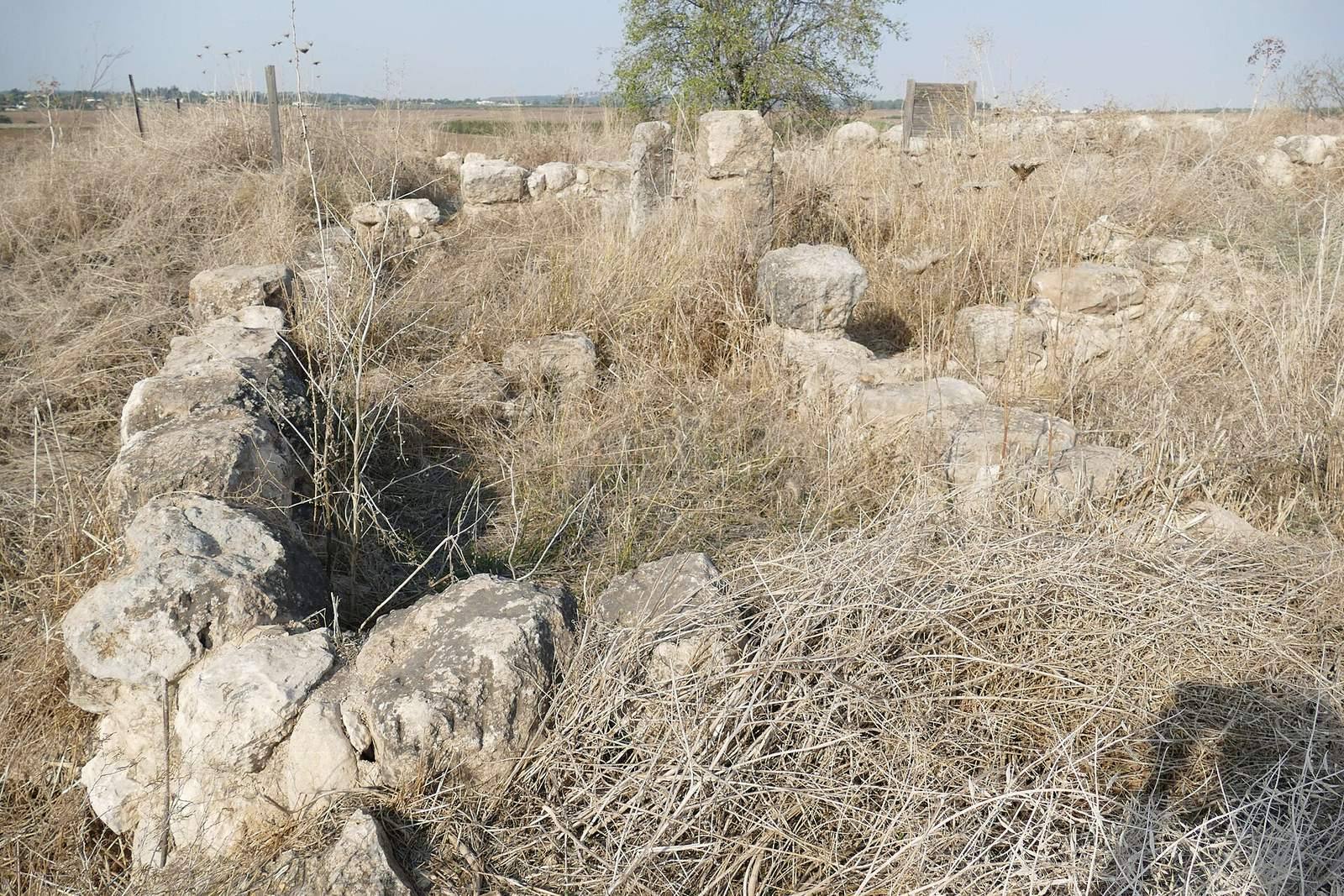
House ruins include columns that supported the roofs, while a drainage channel is also preserved at the site.