Thornborough Henges: A Neolithic Monument Complex in North Yorkshire
Site at a Glance
- Popularity
- High
- Country
- United Kingdom
- Primary era
- Stone Age
- Eras represented
- Stone Age, Bronze Age
- Civilizations
- Unclassified
- Site type
- Religious
- Remains
- Sanctuary
On this page9 sections
History
Thornborough Henges are three Neolithic henges, prehistoric circular earthworks with banks and ditches, near West Tanfield in North Yorkshire, United Kingdom. Built around 3000 BC during the Neolithic, or New Stone Age, a period associated with the spread of farming, they belong to a wider complex broadly dated to 3500–2500 BC, spanning the Neolithic and Bronze Age, when bronze became widely used. The henges are thought to have formed part of a connected ritual landscape, an area where monuments are linked through ceremonial activity. The complex is sometimes called the “Stonehenge of the North,” and Historic England considers its ceremonial importance comparable with Stonehenge, Avebury, and the monuments of Orkney.
Prehistoric landscape and purpose
The henges’ precise purpose is uncertain. Archaeological finds have prompted suggestions that they supported social and economic activity as well as astronomical functions. Some interpretations regard them as ritual centres, perhaps with each associated with a different god or goddess. Another proposal is that additional circles offered places for gatherings as the population grew, although this explanation is difficult to reconcile with enclosures on this scale. The three monuments may instead have been designed as a unified group and built at the same time.
Quarrying, protection, and management
Quarrying has altered the landscape north and west of the henges. In the early 2000s, plans to extract stone from Thornborough Moor up to the protected monument boundary prompted strong protests and a petition bearing 10,000 signatures. In March 2005, landowner Tarmac said it would not seek permission to quarry that area for at least ten years. From 2004, the company also allowed an annual Beltane celebration, a Gaelic seasonal festival, as an exception to its general limits on public access.
In 2006, North Yorkshire County Council rejected Tarmac’s first proposal to quarry Ladybridge Farm, less than a mile east of the henges. A revised plan reduced the proposed extraction area from 45 to 31 hectares and excluded its southwest part over archaeological concerns. The council approved it in February 2007, but later withdrew the permission after the Friends of Thornborough challenged procedural irregularities. Preliminary investigations at Ladybridge suggested possible Neolithic ritual encampments, perhaps used by people who built or visited the henges. Campaigners warned that further investigation followed by quarrying could destroy the surviving context of the wider ritual landscape.
In 2016, the county council approved further quarrying under an agreement intended to preserve the henges and 90 acres of surrounding land for transfer to a public body. In 2023, the two henges on Tarmac-owned land and surrounding land belonging to Lightwater Holdings passed to Historic England. English Heritage manages the site and provides public access. In February 2024, English Heritage announced that it had acquired the northern henge. All three henges and the narrow strip connecting them are scheduled monuments, protected under UK law.
Remains
The complex occupies a raised plateau above the River Ure, near Thornborough village. Its remains include the three circular earthworks, a long prehistoric monument known as a cursus, burial grounds, and settlement remains. The henges form a northwest–southeast arrangement, while the cursus runs broadly east–west.
The three henges
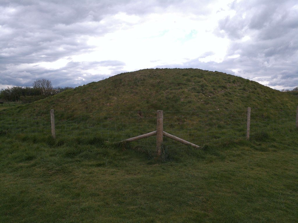
Each henge is about 240 metres in diameter, and they stand roughly 550 metres apart. Together they form a dogleg alignment extending nearly two kilometres. Each has two large entrances opposite one another on the northwest–southeast axis. Ditches about 20 metres wide and 3 metres deep border both the inner and outer sides of each bank. The banks were built from large boulders and covered with white material. The northern henge is overgrown with trees and is among Britain’s best-preserved examples. The central and southern henges are in poorer condition, though their banks remain prominent, especially at the central henge, which has been excavated.
Associated monuments and alignments
The cursus
The cursus, a long prehistoric monument commonly defined by parallel ditches, is the complex’s oldest and largest monument. Almost a mile long, it extends from Thornborough village beneath the central henge and ends near the River Ure, about 8 kilometres northwest of Ripon.
Pit alignment
A double line of pits extends from the southern henge. It may mark a timber processional avenue.
Landscape alignments
The dogleg arrangement has been interpreted as echoing Orion’s Belt, a group of three bright stars in the constellation Orion. Other interpretations connect perpendicular directions in the layout with midsummer sunrise and midwinter sunset. One arm aligns, by way of the henge at Nunwick, with the Devil’s Arrows, a group of prehistoric standing stones at Boroughbridge, 17.7 kilometres away. Other henges lie along the same line on both sides of Thornborough, at distances of up to 45 kilometres.