Tel Burna: A Fortified Border Settlement in Israel’s Shephelah
Site at a Glance
- Rating
- 4.5
- Popularity
- Very Low
- Country
- Israel
- Primary era
- Iron Age
- External website
- Open
- Eras represented
- Bronze Age, Iron Age
- Civilizations
- Canaanite, Israelite
- Site type
- Military
- Remains
- Fortified Town
On this page16 sections
History
Tel Burna is an archaeological site in Israel’s Shephelah, the low-hill zone between the Judean highlands and the Mediterranean coastal plain, along Nahal Guvrin near modern Qiryat Gat, Beit Nir, and Beit Guvrin. Established in the Early Bronze II period, it was occupied through the Middle Bronze, Late Bronze, and Iron Ages, with lighter activity in the Persian and Byzantine periods and possible continuation into the Roman period. Its position on a route between the hill country and the coast helped make it a frontier settlement between Judah and Philistia.
Bronze Age settlement
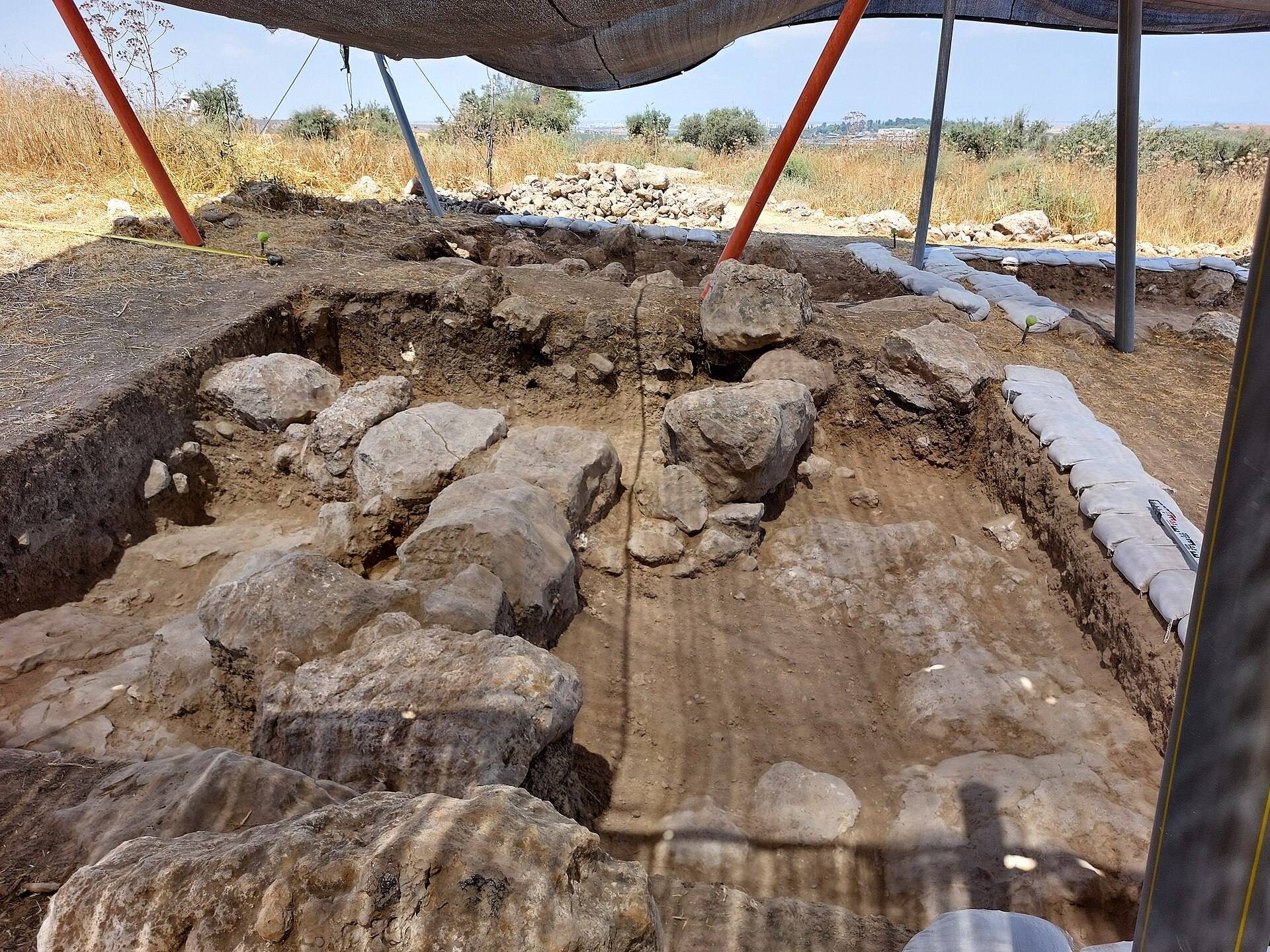
Survey evidence identifies activity at Tel Burna in the Early Bronze II and III periods, the Middle Bronze II period, and the Late Bronze Age. During Late Bronze IIB, in the thirteenth century BCE, a settlement was established on previously unused ground on a platform measuring about 40 by 100 metres below and west of the summit. This occupation covered the largest area identified in that excavation zone. A substantial cultic building stood there, with a courtyard used for feasting and a standing stone at its centre.
A Canaanite-period structure from the thirteenth century BCE was also built on the summit. Masks and amulets found inside it have been interpreted as objects connected with ritual activity. The Late Bronze occupation produced imported and locally made pottery, including Cypriot zoomorphic vessels, Mycenaean figurines, a Cypriot three-cupped votive vessel, and a steatite cylinder seal associated with the Mitanni cultural sphere.
Iron Age Judahite frontier
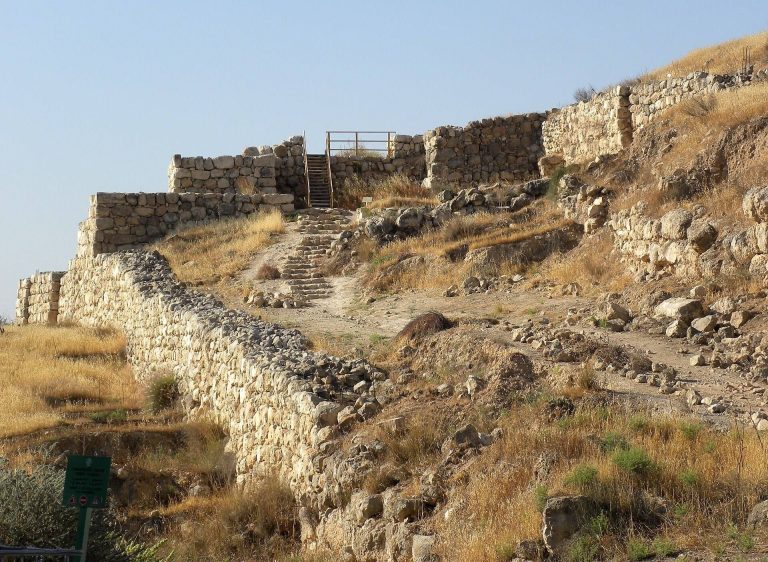
Tel Burna was occupied during Iron I and Iron II, with the broader survey identifying Iron II as the period when the settlement reached its greatest extent. Iron Age II activity was concentrated on the summit, which was enclosed by a casemate fortification, a defensive wall made from parallel masonry walls joined by cross-walls that formed internal compartments. The arrangement has led to the interpretation of Tel Burna as a settlement of the Kingdom of Judah and possibly a fortified border town.
The fortifications may have protected the settlement from Philistine attacks. They have also been connected with the threat from Assyria, including the campaign of King Sennacherib after Hezekiah’s revolt. Sennacherib’s late eighth-century BCE invasion was part of Assyria’s effort to suppress rebellion in Judah and other subject territories. Late Iron Age silos, a projectile point, and changes in the use of storage installations have been interpreted as possible evidence of conflict and changing conditions at the site.
Proposed biblical identifications
The prominent Iron Age remains and the site’s frontier position have encouraged proposals that Tel Burna was biblical Libnah, one of the thirteen Kohanic cities, towns traditionally assigned to priests descended from Aaron. W. F. Albright and Yohanan Aharoni were among the scholars who advanced this identification, but it remains a hypothesis. Gath, Makeda, and Moresheth-Gath have also been proposed.
In biblical tradition, Libnah revolted against the Kingdom of Judah in the ninth century BCE and was the birthplace of Hamutal, a seventh-century BCE queen of Judah. Eusebius, a Christian bishop and historian of the late Roman period, placed an ancient village identified with Gath near Eleutheropolis, about five Roman miles from Beit Guvrin. His description has made Tel Burna, along with Tell ej-Judeideh, a candidate for the location of ancient Gath.
Exploration and excavation
Victor Guérin described the mound in 1869, and Lieutenant Claude Conder surveyed it about a decade later, noting fortification walls about four feet high. A limited survey followed in the 1950s, and a broader survey was carried out in 2009. A Mesopotamian-style plaque was accidentally found near the mound during the 1960s.
Excavations began in 2010 under Itzhaq Shai and Joe Uziel through a long-term project of the Institute of Archaeology at Ariel University affiliated with Bar-Ilan University. Work continued through 2024. The project also operated as a community archaeology program, bringing Israeli students and members of the public into the excavations, alongside volunteers from New Zealand, Australia, the Philippines, Malaysia, Germany, England, and Canada. Tel Burna served as a military outpost during the 1948 war.
Remains
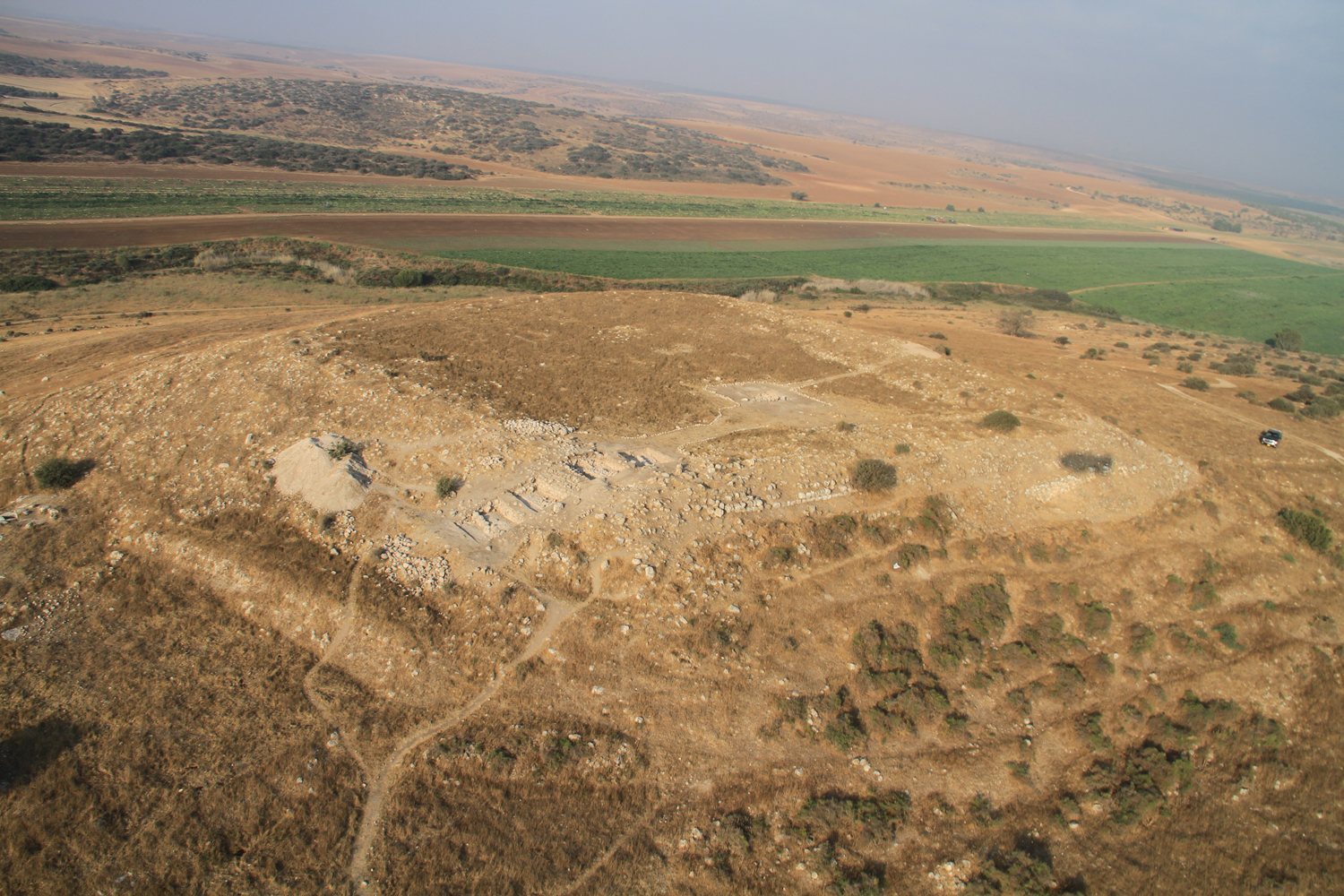
Tel Burna consists of a central mound about 70 by 70 metres across and a lower town covering approximately 16 hectares. Estimates for the overall site reach about 100 dunams, while the mound itself has also been estimated at roughly 35 dunams. The physical remains are organized around the summit fortifications and the lower platform to its west and below, where Late Bronze structures and ritual material were found.
Late Bronze structures
Cultic building and courtyard
The Late Bronze IIB platform contained a cultic structure measuring about 500 square metres. Its large courtyard included a standing stone, and pottery and sediment indicate that people used the space for feasting. Two large Cypriot storage jars were set into the courtyard beside locally produced storage jars. The finds connect the building with ritual activity and with the wider exchange networks represented by the imported objects from the same occupation.
Summit Canaanite structure
On the summit, a Canaanite structure dating to the thirteenth century BCE contained masks and amulets interpreted as cultic objects. These finds provide evidence for ritual practices within the elevated part of the settlement during the Late Bronze Age.
Iron Age summit fortifications
Casemate wall
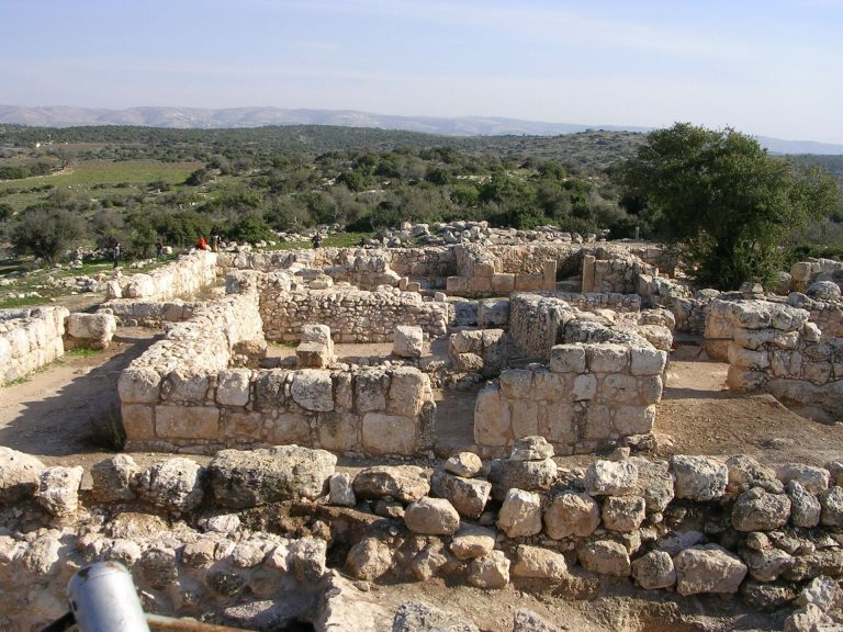
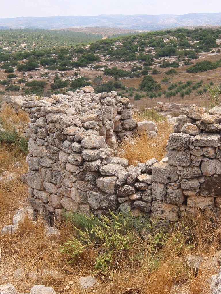
The Iron Age II summit was surrounded by a casemate wall extending for about 270 metres and enclosing an area of approximately 70 by 70 metres. Its outer wall was about two metres wide and its inner wall about 1.5 metres wide. Both were built from large field stones, with the two parallel walls separated by about two metres and linked by perpendicular walls. Exposed remains on the northern side of the mound rise more than two metres in places.
Southern gate
A monumental gate was excavated along the southern section of the fortification. It included a massive stone tower and buttresses, forming part of the defensive system around the summit.
Iron Age domestic and administrative evidence
Summit pottery and storage installations
The summit yielded numerous pottery fragments, including jar handles with LMLK seal impressions. LMLK means “belonging to the king,” and these stamped handles are associated with the storage administration of the Kingdom of Judah. Floors and pottery dating to the ninth century BCE were found on the eastern side of the summit. Three late Iron Age silos occupied the same eastern area.
One silo cut through the inner fortification wall, showing that the wall had fallen out of use before the silo was constructed. A projectile point and the silos have been interpreted as possible evidence of conflict. A jar-handle fragment from the backfill of one silo carries a private seal impression read as a sequence resembling ʿzr followed by hgy. The excavators understood the sequence as two personal names, while another interpretation identifies Ezer son of Haggai, perhaps a high-status administrator of extensive territory. That reading remains uncertain.
Decorated krater
A uniquely illustrated krater was found at Tel Burna. Its decoration has been compared with the design on the Lachish ewer, providing an additional indication of the artistic connections represented among the site’s Iron Age finds.
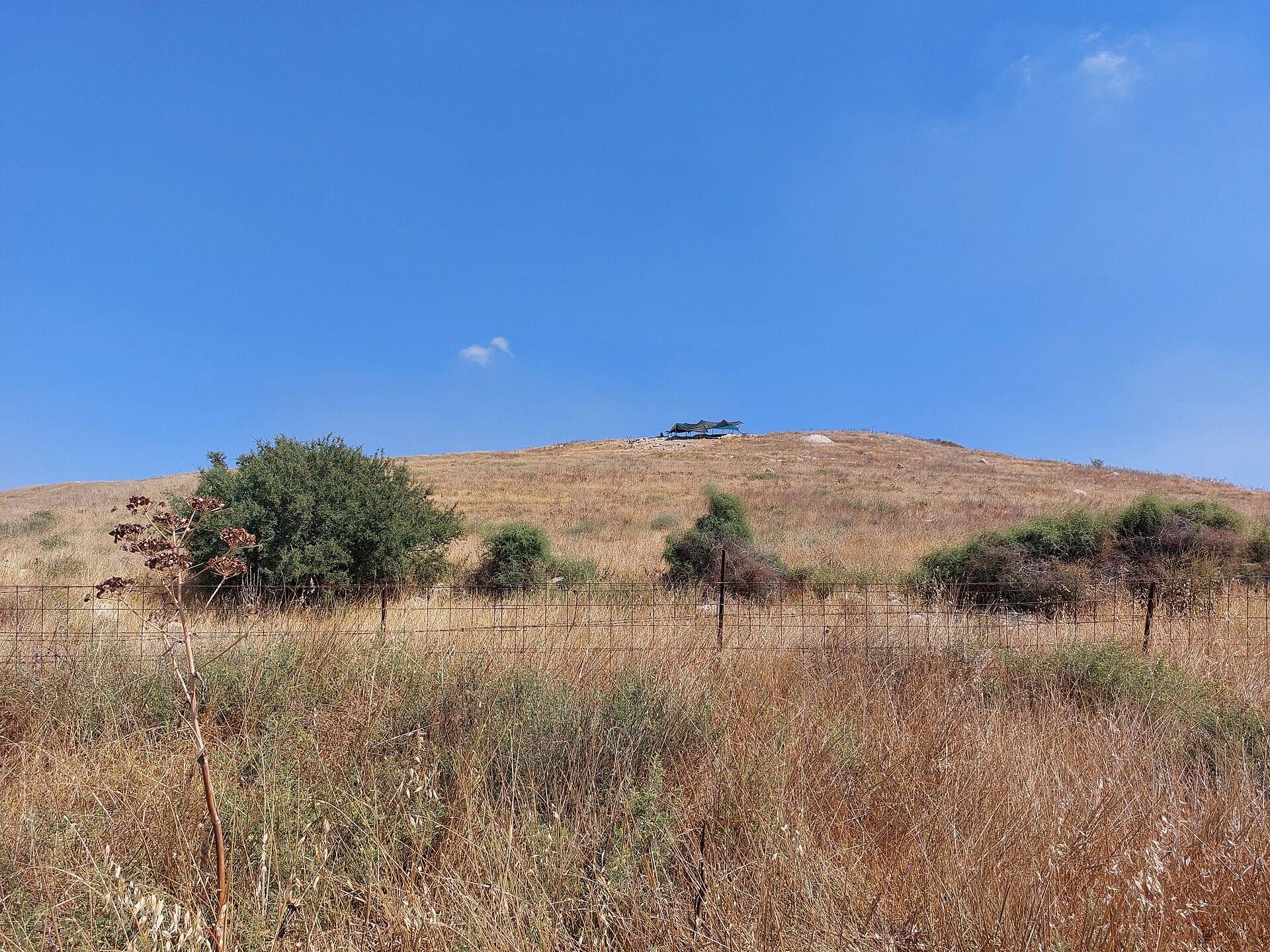
Form of the mound
The mound’s shape resembles a hat. This form is reflected in the Arabic word burnat, meaning “hat,” which appears in the alternative name Tell Bornât.