Tel Afula: An Archaeological Settlement Mound in Israel

Site at a Glance
- Rating
- 4.2
- Popularity
- Very Low
- Country
- Israel
- Primary era
- Medieval
- Eras represented
- Classical, Medieval
- Civilizations
- Crusader, Knights Templar, Roman
- Site type
- Military
- Remains
- Fort
On this page8 sections
History
Tel Afula is an archaeological settlement mound in Afula, Israel, occupied from the late Chalcolithic period, the prehistoric Copper Age, through the Ayyubid period in the thirteenth century. Its successive layers reflect several thousand years of settlement and place the site within the long history of the Jezreel Valley.
Early settlement and medieval occupation
The mound preserves evidence of occupation from the late Chalcolithic period or the beginning of the Canaanite period. Later activity continued through the Bronze and Iron Ages, the Roman and Byzantine periods, and the Early Islamic and medieval eras. The Ayyubids, the Muslim dynasty founded by Saladin, ruled parts of the Middle East during the twelfth and thirteenth centuries.
During the medieval period, the site was associated with La Fève, also called al-Fule, a small Templar fortress in the Jezreel Valley. The fortress stood on routes between Jerusalem and Tiberias and had a garrison of sixty knights. In 1183, an indecisive battle between the Crusader Kingdom of Jerusalem and Saladin took place near it.
In May 1187, Gérard de Ridefort, grand master of the Templars, and Roger des Moulins, grand master of the Hospitallers, were at La Fève when they learned that Saladin’s cavalry was conducting a reconnaissance. The Templars and Hospitallers were military-religious orders active in the Crusader states, and their grand masters were their senior leaders. After Gérard persuaded Roger to confront the cavalry, the Crusaders attacked near the Springs of Cresson and were almost completely destroyed by the larger Muslim force. Two months later, Saladin defeated the main Jerusalem army at Hattin. La Fève was among the first fortresses he captured after that victory.
Discoveries under the British Mandate
The British Mandate government’s Antiquities Department listed the mound as an artificial hill requiring investigation. After modern Afula was founded in 1925, farmers used the mound’s organic-rich soil as manure. Their activity exposed ancient coffins and large stones. Nahum Slouschz and Isaiah Pres identified the coffins as probably Jewish coffins from the Roman period.
In October 1926, a research group led by Professor Eleazar Lipa Sukenik excavated at the mound for three weeks. The work uncovered an ancient fortress dated either to the Byzantine or Early Islamic period, but the excavators initially concluded that the mound probably had not contained an ancient settlement.
Antiquities discovered during foundation work for Afula’s water tower in 1931 led Sukenik to conduct another excavation. These finds prompted the hypothesis that ancient Afula had been located at the water-tower site rather than at Tel Afula. Permission to pave Jerusalem Street across the mound was granted in 1932. Sukenik received an excavation license in late 1934 and returned with students in 1937 to investigate both the road site and the water-tower site. Four weeks of work at Tel Afula produced pottery from the Early Iron Age, Late Bronze Age, and Early Bronze Age. Streets were later laid out and houses were built on the northern part of the mound.
Excavations and heritage protection
Investigations in the southern part of the mound in 1950 revealed remains from the Middle and Late Bronze Ages. The slopes were subsequently released for construction, although a road crossing the mound was made conditional on further excavation. Work began under Dr. Emmanuel Ben-Dor from February to April 1951 and was completed by Moshe Dothan by December of that year. The excavation area followed the elongated route planned for the road.
A salvage excavation, an archaeological investigation carried out before construction or other work that could damage buried remains, took place in 1999 on level ground beside the eastern slopes. It followed heavy damage to archaeological remains when construction waste was removed by bulldozer.
The Israel Antiquities Authority excavated the mound in 2015 in coordination with Afula Municipality as part of a plan to rehabilitate it and present the city’s historical heritage. Renovation was completed in 2017, and a public archaeological site was established in 2019 where parts of the exposed remains could be viewed. Cooperation between the municipality and the Israel Antiquities Authority gave the mound a public heritage role focused on preserving and commemorating Afula’s history.
Remains
Tel Afula rises to approximately 60 metres above sea level in the center of modern Afula. It is a tell, an artificial settlement mound formed by the accumulation of successive occupation layers. Ten superimposed layers extend from the late Chalcolithic period through the Middle Ages. The northern section is covered by houses, while streets and a road cross parts of the mound.
Settlement layers and burial remains
The earliest remains belong to the late Chalcolithic period or the beginning of the Canaanite period. Archaeological material from the mound includes pottery, sickle blades, arrowheads, human burials, and the remains of a winepress. A Middle Bronze Age cemetery contained pottery jars, cooking pots, and bowls. One grave also contained a small human figurine.
The 1999 excavation exposed part of a Roman-period settlement, including walls, stone floors, and pottery fragments. The 2015 excavation revealed further buried Roman-period settlement remains beneath the ground surface, together with numerous Early Bronze Age pottery fragments. Some walls were built from large limestone blocks laid on foundations of unworked fieldstones.
Fortress and reused stone coffins
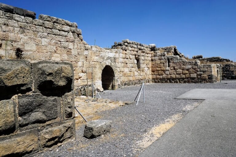
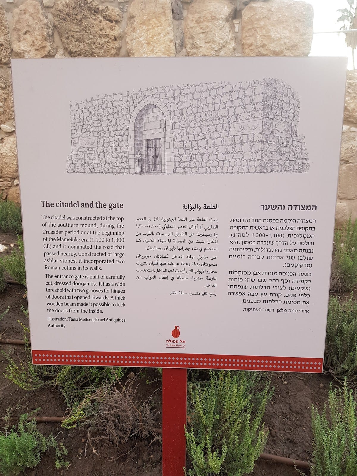
A square tower on the mound was built from large stones. Its walls incorporated Roman sarcophagi, or stone coffins, removed from their original burial settings and reused in a later structure. The coffins carry geometric decoration. The tower is dated either to the Crusader or Mamluk period.
The mound also contains the remains of a fortress enclosed by a wall built partly from Roman sarcophagi transported from Roman burial sites. The fortress has been interpreted either as an Arab-built stronghold or as a fortified Crusader structure. The visible decorated sarcophagi date from the second to the fourth centuries CE and were reused as walls in a Crusader building that formed the uppermost of the mound’s ten archaeological layers.
La Fève is described as occupying a rectangular plan measuring 120 by 90 metres and as being surrounded by a broad moat. Its identification with the medieval fortress associated with the mound connects the surviving defensive remains with the military history of the Crusader states, while the alternative interpretation of the fortress reflects the different medieval phases attributed to the site.
Restored archaeological area
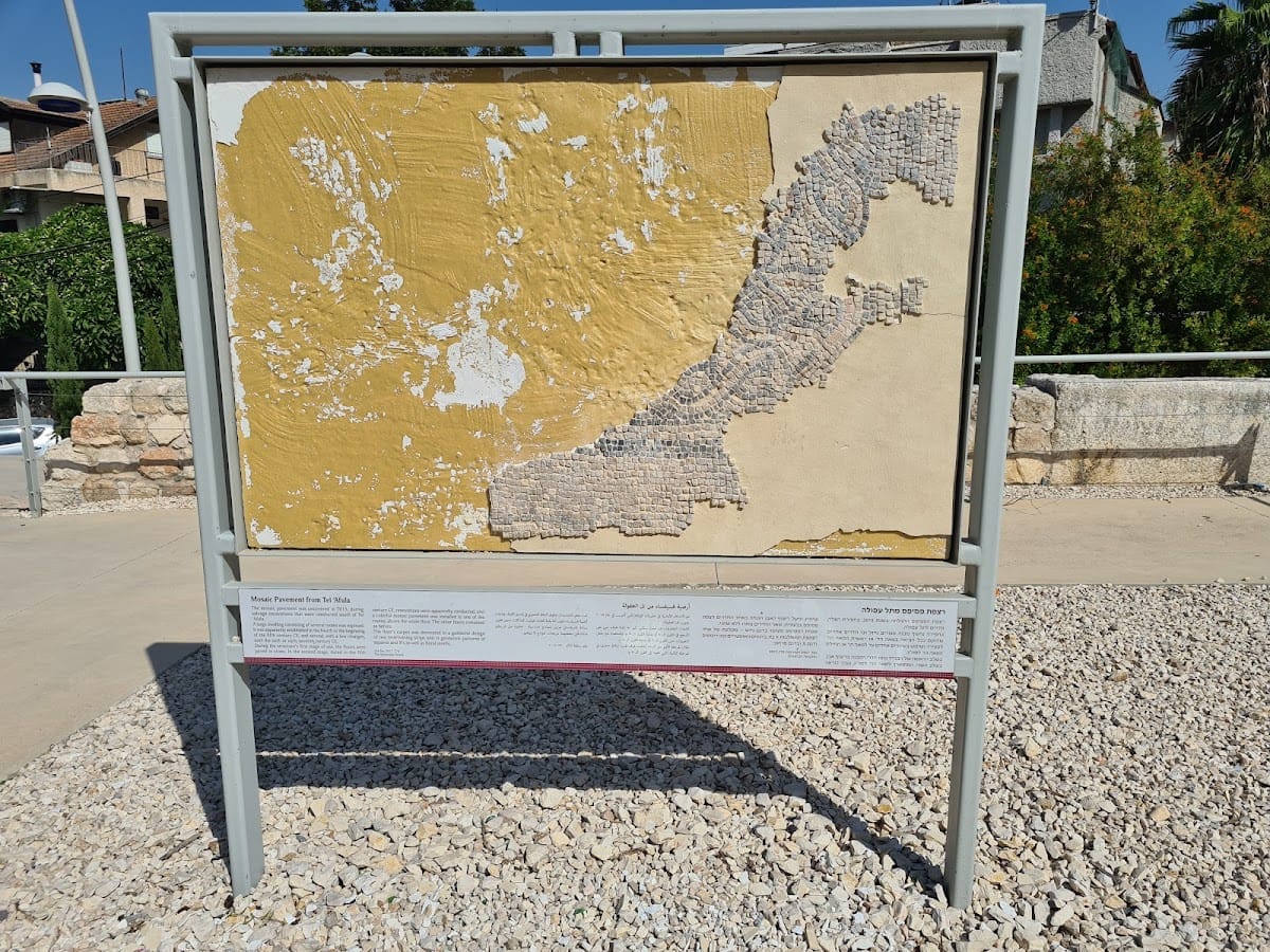
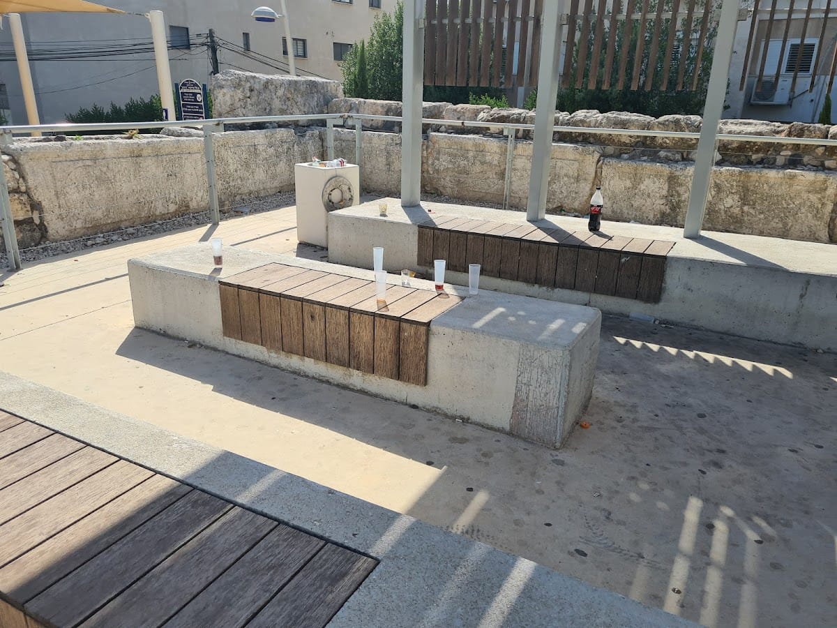
The restored site includes marked ancient stones, a newly paved plaza on the summit, and an access path leading up the mound to the plaza. These interventions present exposed parts of the archaeological remains while retaining the mound’s evidence for settlement across successive periods.