Tehuacalco: Yope Archaeological and Ceremonial Center
Site at a Glance
- Rating
- 4.6
- Popularity
- Low
- Country
- Mexico
- Primary era
- Medieval
- Eras represented
- Medieval
- Civilizations
- Unclassified
- Site type
- Religious
- Remains
- Sanctuary
On this page16 sections
History
Tehuacalco is an archaeological site in Juan R. Escudero, Guerrero, Mexico, associated primarily with the Yope and occupied from approximately 400 to 1100 CE. Its principal period extended from about 650 to 1100 CE, across the Epiclassic and Early Postclassic periods, when many of its structures were built under strong Toltec influence. The site developed as a ceremonial center within the Yope cultural region, although its connection with Yopime or Tlapaneca communities remains possible rather than certain.
Yope occupation and religious traditions
At its height, Tehuacalco formed the ceremonial core of a population center covering approximately 80 hectares. The ceremonial area itself extended across about 12 hectares and was organized around a plaza, pyramidal structures, a ball court, caves, carved rocks, and features associated with the surrounding mountains. The name Tehuacalco derives from the Nahuatl term tehuacalli, referring to stones with holes bored into them for ritual purposes. Interpretations of the name include “place of the stone box,” “house of the priests,” and “house of the sacred water.”
The Yope of Tehuacalco were settled agriculturalists whose society included rulers and priests, followed by warriors, merchants, and artisans. They hunted and cultivated maize, while viewing the surrounding mountains as repositories of water and seeds. Their veneration of these mountains was intended to support successful harvests. Solar beliefs also shaped religious practice. The Sun was thought to be swallowed by a monster at the end of each day and forced to fight through the underworld before rising again, making offerings to feed the Sun an essential aid to its return.
Tehuacalco was oriented toward Compuerta Mountain and the smaller peaks beside it. These landmarks helped indicate the equinoxes and solstices as the Sun rose behind them. Compuerta, Capulín, Tierra Colorada, and Gavilpan marked the four cardinal directions, while the site’s hill acted symbolically as a fifth direction where power was concentrated. A hill regarded as a sanctuary of water and rain formed the most sacred part of this religious landscape.
Yopitzingo and the Spanish conquest
The wider region was known as Yopitzingo. It was one of the few areas that the Aztecs did not conquer during the Late Postclassic period. By that time, however, the Yope had become semi-nomadic and practiced agriculture intermittently. Their communities later suffered severe population losses from European diseases after the Spanish Conquest. The Yope resisted full submission to Spanish rule and mounted a major rebellion, which Spanish forces suppressed. The surviving Yope were dispersed among other settlements.
Rediscovery and archaeological work
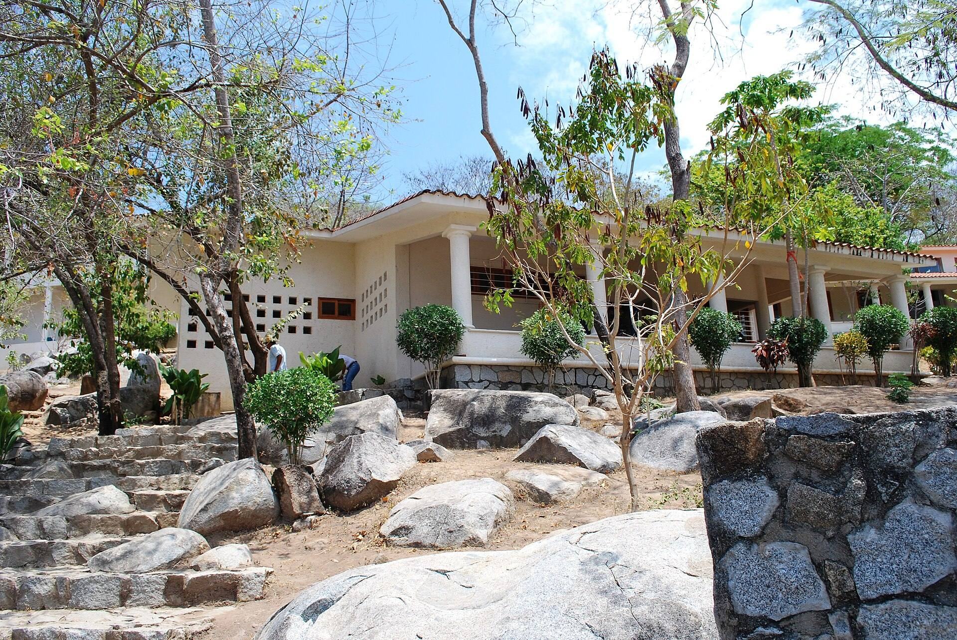
Tehuacalco was rediscovered in 1991 and became the first Yope-related site to undergo extensive archaeological exploration. Principal fieldwork and excavation took place between 2006 and 2008 under Miguel Perez Negrete and Raul Arana Alvarez. Archaeological exploration was followed by restoration and consolidation, and the site opened to the public in December 2008. It was one of twelve archaeological sites opened during the administration of President Felipe Calderon between 2006 and 2012. Mexico’s National Institute of Anthropology and History, or INAH, is undertaking the consolidation of the Conjunto Pedregal and Structure E9. The archaeological zone also includes an introductory room and administrative areas.
Remains
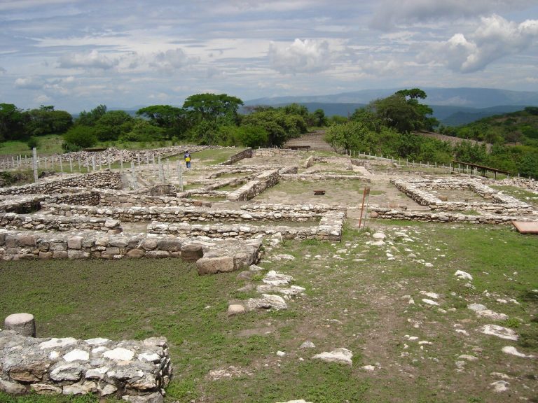
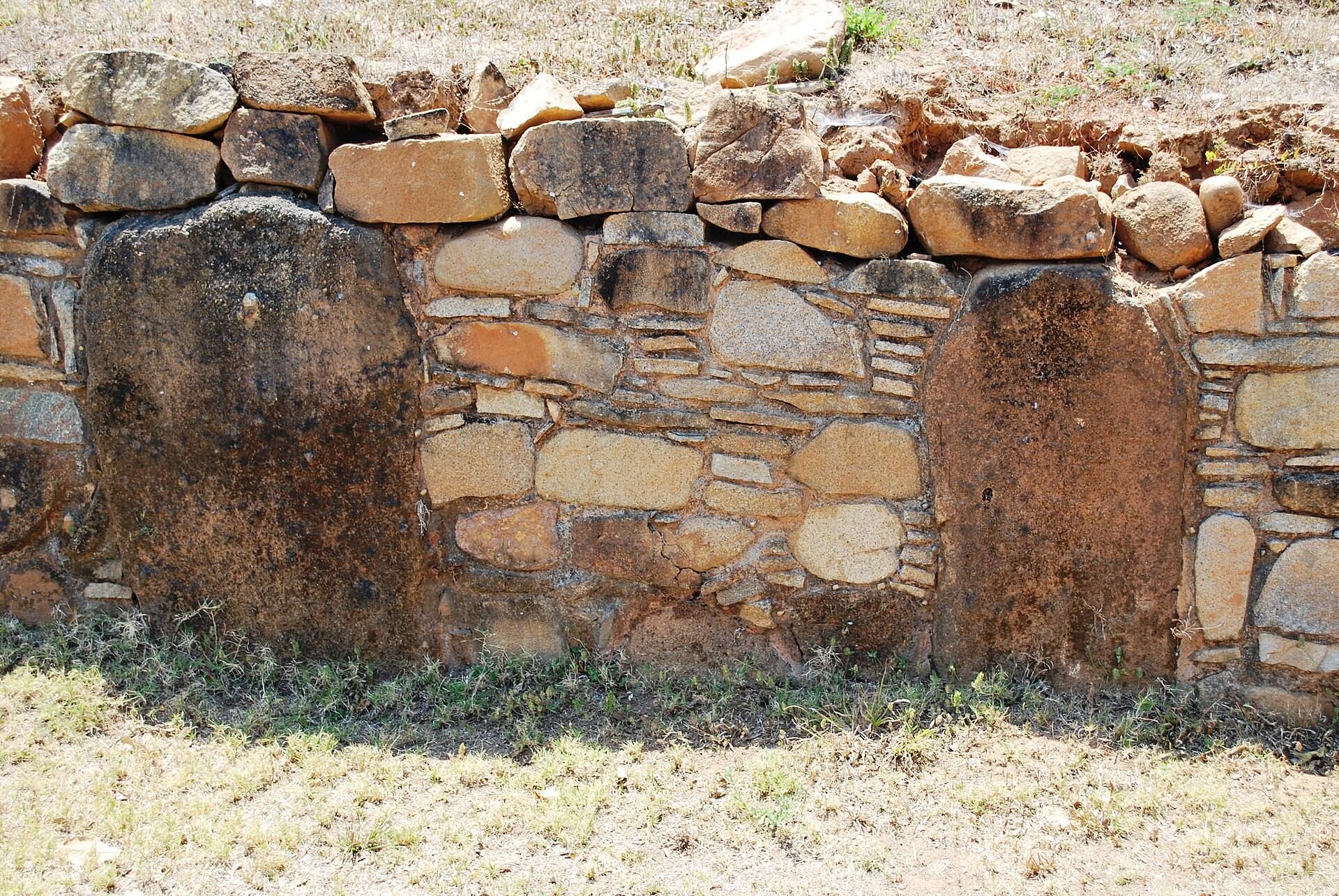
Tehuacalco occupies a hill enclosed by higher mountains, creating a physical and ritual landscape in which monuments, caves, carved stones, local flora, and fauna formed a connected ceremonial setting. Excavations identified 18 monumental structures, while 19 structures have been found overall. Eight were classified as major complexes and the remainder as minor structures. The site’s buildings used Mixtec facing, a construction method in which stone slabs were placed vertically and horizontally with clay fill. This arrangement gave walls and structures flexibility during earthquakes.
Principal pyramidal complexes
La Encinera
La Encinera, also called the Main Temple, rises approximately 20 meters. Priests and rulers used it for rituals connected with the Sun and water, as well as for tracking time. Its position within the ceremonial center reflects the site’s combination of religious practice, mountain veneration, and observations of the solar cycle.
The Palace
The Palace, also known as Building Five, is the largest structure at Tehuacalco. Its base measures approximately 80 meters on each side and contains sunken patios and several courts. The mountain behind the complex marked the solar equinox, the beginning of agricultural activity, and the continuation of ritual observances.
Temple of the Water Mirror
The Temple of the Water Mirror is one of the four large pyramidal structures that form the principal complexes of the site. Its name places it within Tehuacalco’s wider association between architecture, water, rain, and the sacred mountain landscape.
Platform W
Platform W contains elite residential units arranged around internal patios and equipped with drainage systems. These residences may have belonged to people of high rank or privileged social position, distinguishing them from the site’s ceremonial and monumental buildings.
Ball court and other structures
Ball court
The Mesoamerican ball court measures approximately 37.8 meters in length. Its H-shaped plan includes lateral courts and is described as unusual for central Mexico. Such courts were used for a formal ball game that carried religious and political meaning as well as an athletic function.
Structure E4 and the Solar Group
Structure E4 is a platform with a solar marker on its eastern front. Other named components include Templo Verde, Templo Rojo, and La Anona. Templo Rojo and La Anona form the Solar Group, adding further architectural elements to the site’s solar orientation.
Caves and carved stones
Ritual caves
The slopes of Compuerta Mountain contain 57 documented cavities or caves associated with solar worship. Offerings found within them included braziers and incense burners, linking the mountain environment directly with ritual activity at the ceremonial center.
Rock carvings and ritual stones
The Piedra de los Pies Pintados is a large rock carved with human footprints. Another petroglyph, Monument W, consists of circular designs used to count lunar cycles. The site also contains several tehuacallis, ritual stones characterized by bored holes, some of which bear circular or rectangular carvings. Casts of nearby carvings are displayed in the local museum.