Vía de la Plata: Roman Road and Historic Route in Spain
Site at a Glance
- Popularity
- Very High
- Country
- Spain
- Primary era
- Classical
- Eras represented
- Classical
- Civilizations
- Roman
- Site type
- Infrastructure
- Remains
- Road
On this page8 sections
History
The Vía de la Plata is an ancient north–south route through western Spain that became a major Roman communications corridor. Its early development is uncertain, but evidence points to connections between southern and western Hispania before Roman rule.
Early routes and Roman use
During the flourishing of Tartessos, an ancient culture of the southwestern Iberian Peninsula, commercial contacts linked its southern regions with the west. Some scholars connect these exchanges with a proposed Tin Route, which may have carried large quantities of tin. In later centuries, an unnamed road served as one of the main routes used by Iberian peoples.
Seventeenth- and eighteenth-century writers called the road the Consular Way or Military Way and believed it dated to the Roman Republic, the period of Roman government before the emperors. Rome may have adapted an older route to move troops while exploring and conquering the peninsula’s north. In 137 BC, a Roman expedition reached Gallaecia, in the northwest.
During the Roman conquest and imperial period, the route linked Baetica, a Roman province in southern Hispania, with the northwest. The Antonine Itinerary, a Roman register of roads and places, names it Iter ab Emerita Asturicam, or the road from Emerita to Asturica.
The name and later memory
The name does not mean that silver was transported along the road. During the Andalusi period, it was called al-Balat, meaning “the paved road.” The modern name may have emerged from a popular association between that name and plata, the Spanish word for silver. The form “la Plata” appears in Christopher Columbus’s writing in 1504; in 1507, the grammarian Antonio de Nebrija described the road as commonly known as the Silver Way.
Another proposed origin is the late Latin via Delapidata, understood as “road marked with milestones.” This explanation does not depend on the route having a fully stone-paved surface, which was not usual on Roman roads outside towns. A Latin passage associated with Nebrija’s 1507 entry attributes the road’s first paving to a pontiff named Licinius, later repairs to Trajan, and further work to Pertinax and other emperors. The identity of Licinius is uncertain. The passage traces the road from Emerita through Castra Caecilia to Salmantica, where it says the visible line becomes difficult to follow near the far end of a bridge.
Pilgrimage and modern realignments
As Christian rule advanced south across the peninsula, the route also became a way to reach Santiago de Compostela from the south. It formed part of the Camino de Santiago, a network of Christian pilgrimage routes traditionally associated with the apostle James. The road continued to carry travellers over subsequent centuries, and its use by pilgrims continues.
The creation of a radial road network from the eighteenth century reduced the route’s importance. Its profile rose again from the second half of the twentieth century, although newer roads depart from the ancient line in many places. The N-630, now largely followed by the A-66, and the AP-66 broadly use the old corridor.
The modern Ruta de la Plata extends beyond the Roman road, running from Gijón to Seville. It includes León but leaves out Astorga, the Roman route’s endpoint. Literary and archaeological evidence places the ancient road between Mérida and Astorga, and the modern extension has therefore remained disputed. Since 2006, the Association of Towns of the Vía de la Plata, chaired by Astorga’s mayor, has opposed the extension. The University of León and historians who support the ancient alignment have also backed Astorga’s concerns about its treatment in modern route promotion.
Studies of road sections and milestones preceded a scientific monograph published in 1974. A 1995 catalogue examined 189 milestones, including previously unpublished examples, and used their locations to confirm stretches of the route and propose links between them.
Remains
The Roman alignment ran broadly north–south through western Hispania. Physical traces include visible stretches of roadway, milestones marking distance, and Roman settlements and buildings associated with the corridor.
Course and settlements
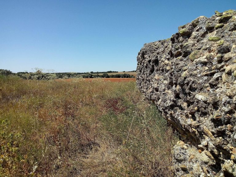
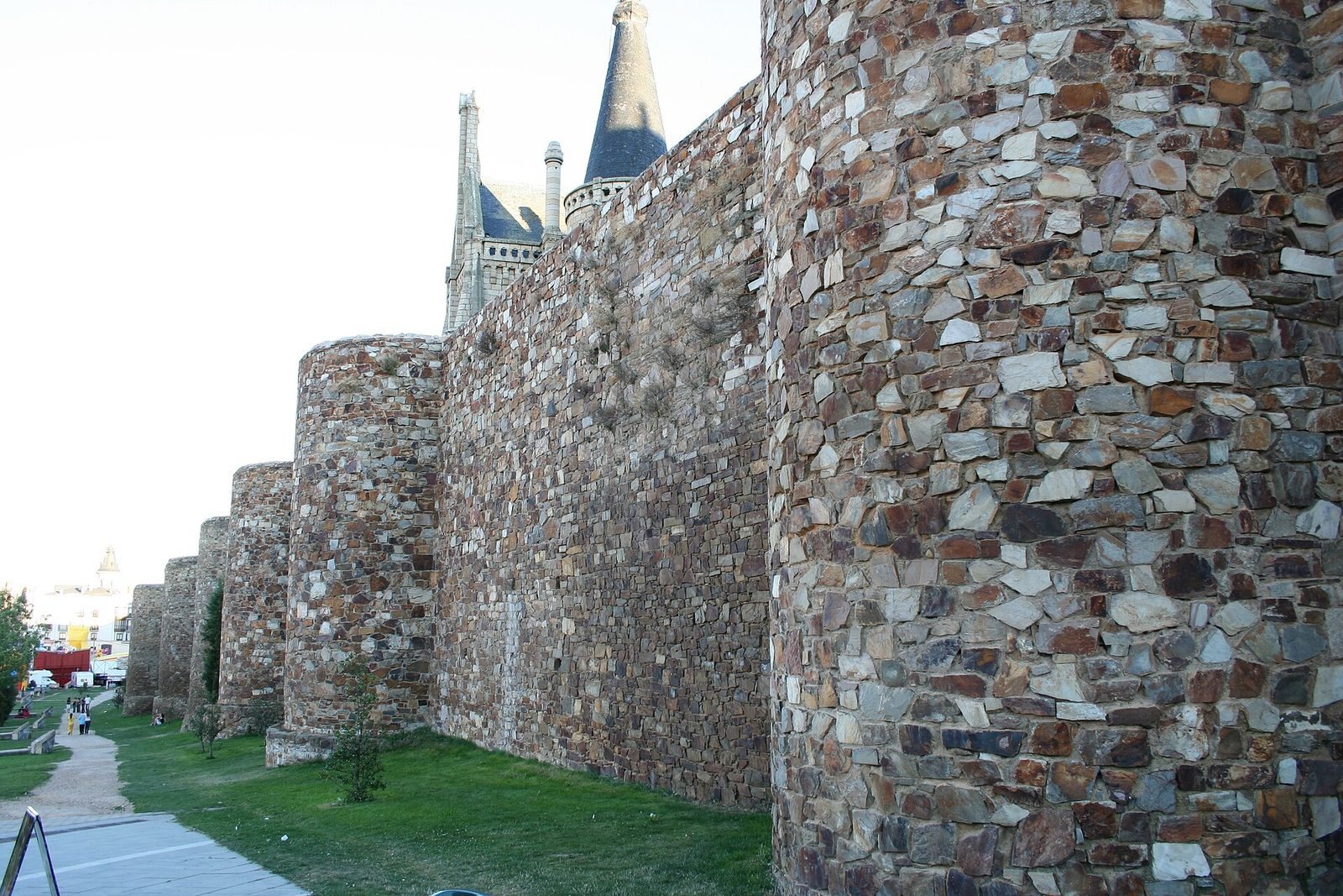
The Roman road connected Augusta Emerita, at Mérida, with Asturica Augusta, at Astorga. Its course passed through Bedunia (San Martín de Torres), Brigeco (Castro Gonzalo), Ocelo Durii (Villalazán, in Zamora province), Salmantica (Salamanca), Cáparra, and Norba Caesarina (Cáceres). Several sections of the road itself remain visible.
Milestones
Early milestones mark miles 1 to 26 from Augusta Emerita toward the stopping place Ad Sorores; the marker for mile 2 was found about three kilometres from the city’s northern exit. Another group marks miles 184 to 313 between Salmantica and Asturica Augusta, including a milestone attributed to Augustus. A milestone of Constantius Chlorus came from Casas del Monte, along the stretch between Augusta Emerita and Norba Caesarina. Nero’s milestone is at Cáparra, and a cut-down marker lies beside the Valdunciel stream at Calzada de Valdunciel, about 14 kilometres north of Salamanca.
Roman sites along the route
Remains associated with the corridor include the Roman city ruins at Mérida and Astorga, along with Castra Cecilia, Castra Servilia, Cuarto Roble, and El Junquillo in Cáceres. Other sites include the Roman fort at La Calzada de Béjar, the Mausoleum of Fuente Buena at Calzada de Valdunciel, the ruins of Cáparra at Guijo de Granadilla, Roman baths at Baños de Montemayor, and the Roman villa of Torreáguila at Montijo.