Taganrog Fortress: Russia’s Naval Base and Coastal Defense
Site at a Glance
- Popularity
- Medium
- Country
- Russia
- Primary era
- Modern
- Eras represented
- Early Modern, Modern
- Civilizations
- Russian
- Site type
- Military
On this page10 sections
History
Taganrog Fortress, also called the Trinity Fortress, was a Russian naval stronghold on Tagan-Rog Cape in Russia. Construction began in 1698, and the fortress was largely complete by spring 1709. Its earthen star fort, a fortification with projecting angled defenses, was intended to protect a naval base and strengthen Russia’s position in the south.
Foundation and first defense
After his second Azov campaign in 1696, Peter the Great sought a protected naval base. The Don River was too shallow for Azov to serve that purpose, so an expedition selected Tagan-Rog Cape on July 27. Its deep water, firm ground suitable for a harbor, and small spring made it a promising site. Taganrog was officially founded as Russia’s first naval base on September 12, 1698. A regiment assembled in 1701 from mounted soldiers, pikemen, and other service personnel served as an infantry garrison. It was disbanded in 1704, and its men were sent home.
The fortress first saw combat during the Russo-Turkish War of 1710–1713, a conflict between Russia and the Ottoman Empire. In June and July 1710, an Ottoman fleet tried to bombard the fortress and land troops. Artillery from the fortress and ships repelled the attacks, followed by a sortie by the garrison.
Demolition and reconstruction
Russia’s defeat in the Pruth River Campaign, a 1711 conflict with the Ottoman Empire, led to the Treaty of the Pruth. Under the peace agreement, Russia returned Azov and agreed to the destruction of Taganrog. Peter ordered the fortress demolished on September 19, 1711, and Russian troops left the town in February 1712.
Russian troops re-entered Taganrog on April 2, 1769, and the fortress was rebuilt from 1769 to 1773. Catherine the Great ordered the reconstruction, placing it under Vice-Admiral Aleksey Senyavin. The Ottoman Empire formally ceded Taganrog to Russia in the 1774 Treaty of Kuchuk-Kainarji.
End of the military role
After Russia annexed Crimea in 1783, Taganrog Fortress lost its military purpose. Catherine abolished its fortifications by decree on February 10, 1784, transferred the land to the city, and moved the Azov Flotilla to Sevastopol. Fortress commandants had governed the town from 1769 until 1802, when a city-governor’s administration replaced their authority. In 1803, a garrison battalion arrived from the Fortress of St Dmitry of Rostov, and new barracks were begun. Taganrog developed as a civilian trading port, while former fortress buildings were reused and gradually demolished. The site is now a federal-level cultural heritage site in Russia.
Remains
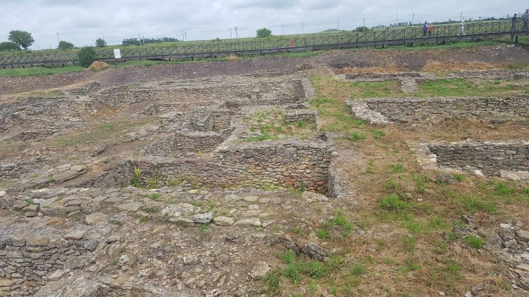
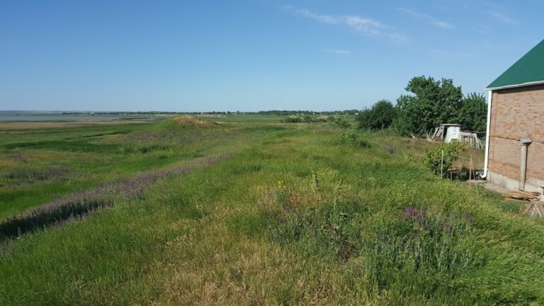
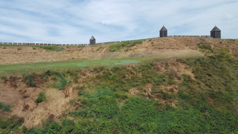
The fortress occupied the seaward end of the cape, on a horn-shaped area, and its earthworks followed the natural outline of the land. An earthen rampart, about 8 metres high and roughly 3 kilometres long, protected the landward sides, with a moat about 5 metres deep alongside it. The ground descended toward a steep sea cliff, which formed a natural barrier. A separate dry ditch, about 40 metres wide and 5 metres deep, added an obstacle on the landward approach.
Ramparts and defensive works
The defenses included three bastions, projecting sections of a fort wall, two demi-bastions, defenses with one face and one flank, and three ravelins, outer works set before the main defenses. Cannons and howitzers, a type of artillery gun, were positioned across the works. Casemates, enclosed spaces for protection or military use, powder magazines, and barracks stood along the rampart. The northern gates were known as the Moscow or Archangel Gates; the southern entrance was called the Sea or St Nicholas Gates.
Interior and garrison buildings
Inside the walls, streets radiated from General’s Square. Buildings included a ruler’s residence, municipal chambers, homes for senior officials, the Trinity Church or cathedral, warehouses, and a marketplace with shops and taverns. Wells, lime kilns, and other ovens also served the settlement. By mid-1711, the fortress held 206 stone buildings and 162 wooden ones intended for the garrison and residents during a siege. Most people lived outside the walls in settlements. Its armament then comprised 293 cannons and 40 howitzers, excluding artillery at the harbor and on Cherepakha Islet.
Harbor
The harbor had a roughly rectangular water area of about 774,000 square metres, enclosed by breakwaters. Towers stood on its seaward side, and the berthing area lay close to shore. Construction used about 30,000 oak piles, with 199 stone-filled boxes placed between them. The harbor is regarded as the first port built in the open sea rather than within a natural bay.
Cherepakha Islet
About 2 kilometres from the fortress, the artificial Cherepakha Islet measured 59 by 38 metres. Its citadel covered 1,200 square metres and carried 127 cannons. Built from rock fill held by oak piles between 1701 and 1706 on Peter’s personal order, it had a wooden barracks hut at its centre, later replaced by a stone building. At low tide with an east wind, the island rises above the water. An examination in 1981 found remains of its oak piles.
Surviving barracks and memorial
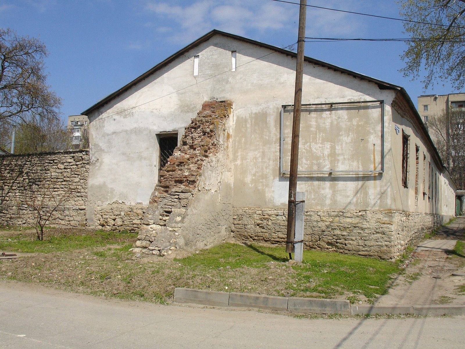
The sole authentic surviving structure associated with the vanished fortress is a barracks unit at 46 First Krepostnoy Lane. It belonged to a group of ten standardized units built for the garrison after 1803; each contained soldiers’ quarters, an officers’ hall, and a kitchen. The units were arranged around a perimeter measuring 51.3 by 68.4 metres, enclosed by a shell-limestone fence up to 2 metres high. A monument to the fortress’s third bastion, opened at 15 Petrovskaya Street in 2015, pairs a copy of a cannon with a fragment of wall made from stones recovered during reconstruction of the historic city centre.