Sokiškiai Hillfort: A Fortified Site in Lithuania
Site at a Glance
- Popularity
- Very Low
- Country
- Lithuania
- Primary era
- Classical
- Eras represented
- Iron Age, Classical
- Civilizations
- Unclassified
- Site type
- Military
- Remains
- Fort
On this page9 sections
History
Occupation and rebuilding
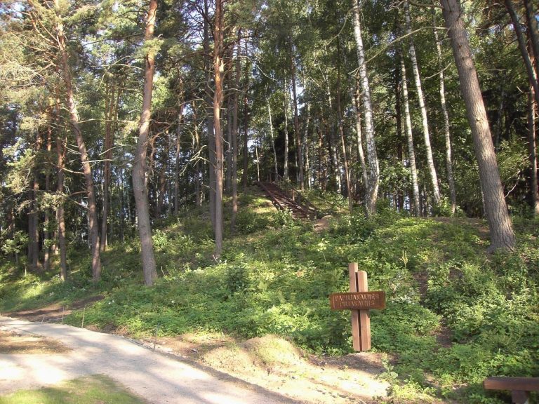
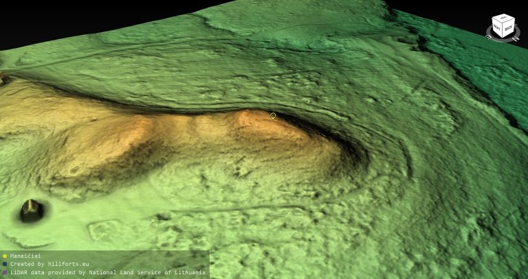
Sokiškiai hillfort is a fortified place on elevated ground east of Sokiškiai in Lithuania. Also known as Black-Earth Hill, it is dated from the fourth quarter of the first millennium BCE to the fifth century CE.
The earliest timber buildings, supported by upright posts set into the ground, stood near the center of the summit and were destroyed by fire. Later buildings were built closer to the edge after a ditch there had been filled; these structures also burned. The defenses were subsequently changed, with the outer ditch filled, the slopes steepened, and the summit platform enlarged.
Investigation and protection
The Institute of History surveyed the hillfort in 1958. From 1980 to 1983, Lithuanian archaeologist Elena Grigalavičienė excavated most of the summit platform, an area of 1,115 m².
A ministerial order declared the hillfort a state-protected monument on 29 April 2005. Its protected territory covers 40,000 m², while a visual-protection subzone, intended to safeguard the monument’s setting, covers 3,502,000 m².
Remains
Summit and slopes
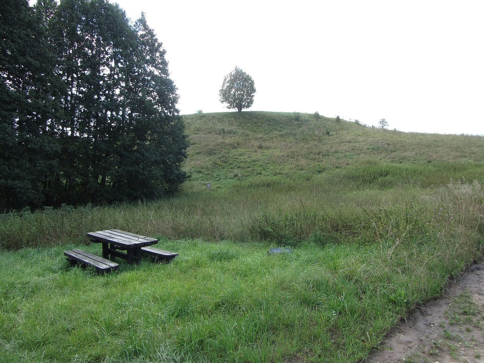
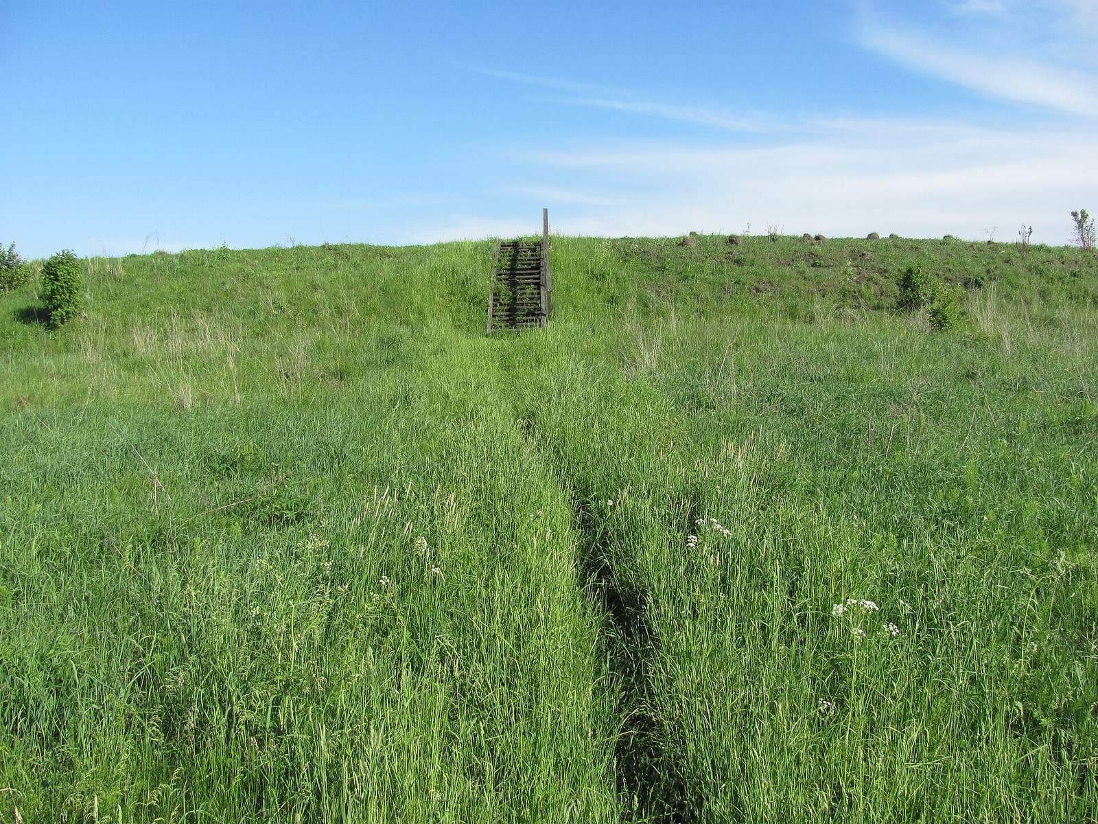
The hillfort occupies an isolated hill on the western shore of Lake Samanis. Its oval summit platform is elongated northeast to southwest and measures 68 by 56 m. The raised central area is 55–65 m across, while the southeastern part lies 4 m lower. Slopes range in height from 4 m on the west to 22 m. Long-term ploughing damaged the upper part of the human-made cultural layer, the soil accumulated through activity at the site; the hill is now fallow.
Defenses and entrance
Excavations traced defenses along the northwestern-to-northeastern edge of the platform. They comprised a shallow ditch, 2–3 m wide at the top and up to 1.5 m wide at the bottom, followed by an earth bank 2 m wide at its base and up to 0.7 m high. Beyond it was a second ditch, 5 m wide and up to 2 m deep. A wooden barrier stood on the inner side of this ditch. These works probably enclosed the entire platform.
A 1.7 m-wide gate opened at the northwestern edge. Rows of posts, each 5.5 m long, strengthened its sides and extended from the enclosure toward the slope.
Dwelling
One clearly identifiable building was a rectangular dwelling measuring 5 by 3.5 m. It was partly below ground, dug to a depth of up to 1 m.
Finds from the hillfort
The cultural layer reached 2 m in thickness. Finds included socketed stone axes, whose handles fitted into sockets, and axes with holes for their handles; slag; animal bones; pottery with brushed, smoothed, and rough surfaces; and bone objects. About 700 artifacts were counted, including 500 bone, 107 stone, 9 antler, 53 clay, 13 iron, and 6 bronze objects. More than 10,000 fragments of handmade pottery and about 11,000 animal bones were also recovered. Material from the hillfort is held at the Lithuanian National Museum.
Finds from the latest phase include metal tools such as knives and awls, along with bronze bracelets and chains and fragments of spearheads.
Associated settlement
An associated settlement extends over 6 hectares to the south-southwest and northwest of the hillfort. Finds include pottery with brushed, smooth, and rough surfaces, a bone awl, and a clay spindle whorl, a small weighted tool used to spin fibers into thread.