Degučiai Hillfort: A Medieval Stronghold in Lithuania
Site at a Glance
- Rating
- 4.6
- Popularity
- Very Low
- Country
- Lithuania
- Primary era
- Medieval
- External website
- Open
- Eras represented
- Medieval
- Civilizations
- Unclassified
- Site type
- Military
- Remains
- Fort
On this page6 sections
History
Degučiai hillfort, also known as Ažusamanės Castle, is a medieval fortified site in Lithuania, near Degučiai village in Zarasai District. It is thought to have supported a wooden castle during the ninth to twelfth centuries and forms part of a protected archaeological complex with two nearby burial grounds.
The Medieval Stronghold
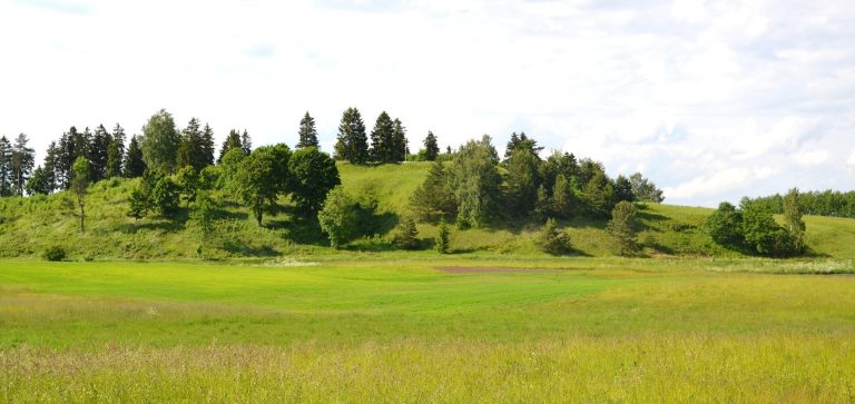
The hillfort occupied a naturally elevated position that was strengthened with ramparts, raised earthworks used for defence. Its surviving terraces are interpreted as the former defensive walls of the wooden stronghold. A local legend attributes the hillfort’s creation to a giant named Samanis, who carried a handful of earth from one place and piled it elsewhere. In the story, the hollow left behind became Samanis Lake, while the mound became the hillfort. Local tradition also tells of a secret route across the nearby Užusamanis marsh.
The 1831 Uprising and Archaeological Study
In 1831, Emilia Plater, a Polish-Lithuanian noblewoman and military leader, established a fortified position on the hillfort while taking part in the uprising against the Russian Empire. Archaeological investigations followed much later. The Lithuanian Institute of History examined the site in 1949 and 1972, while archaeologists working with the Scientific and Methodological Council for the Protection of Cultural Monuments conducted further investigations in 1975 and 1985. Finds from these studies are held by the Lithuanian National Museum. The hillfort and its associated burial grounds have protected cultural-heritage status in Lithuania, with separate monument and registry identifications.
Remains
Hillfort Earthworks
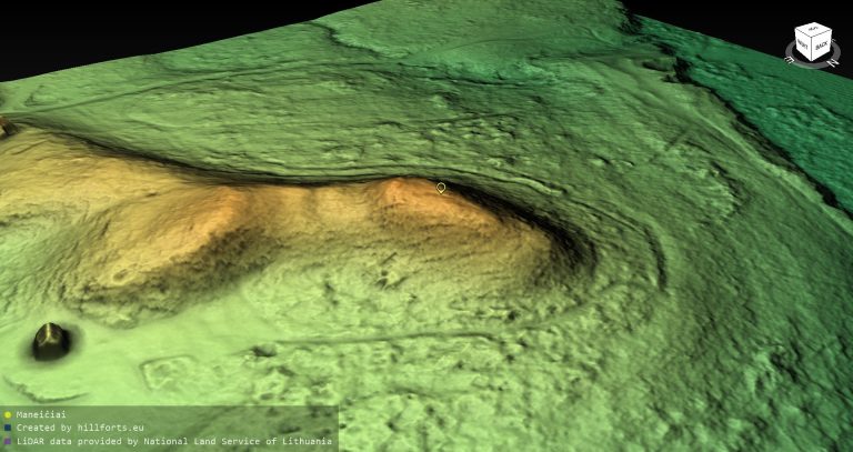
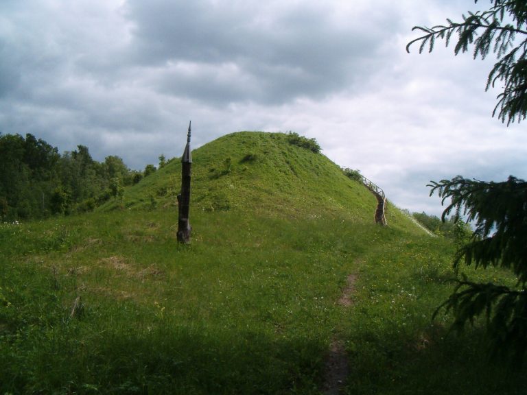
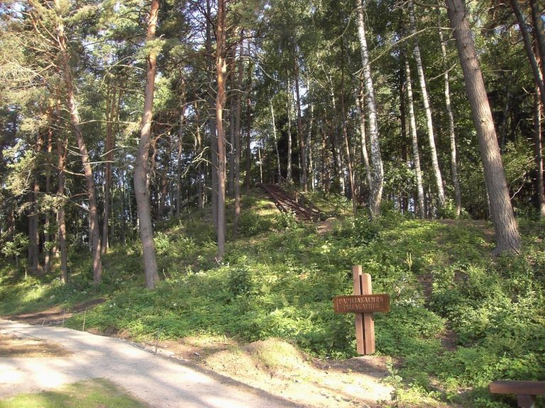
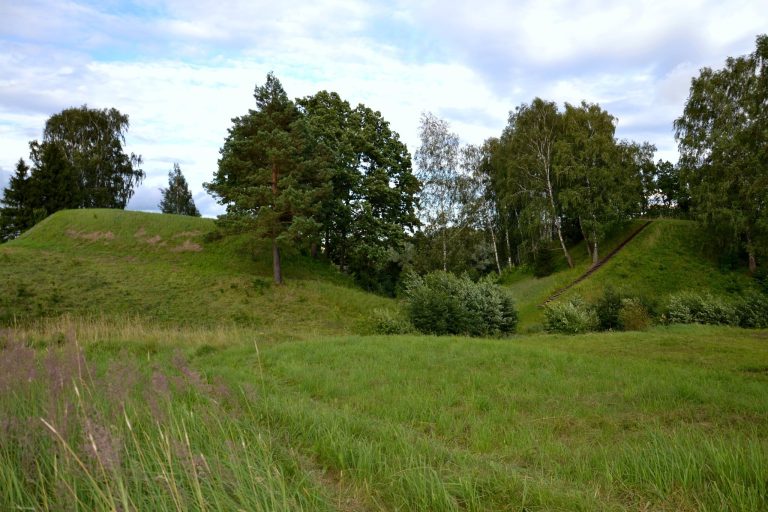
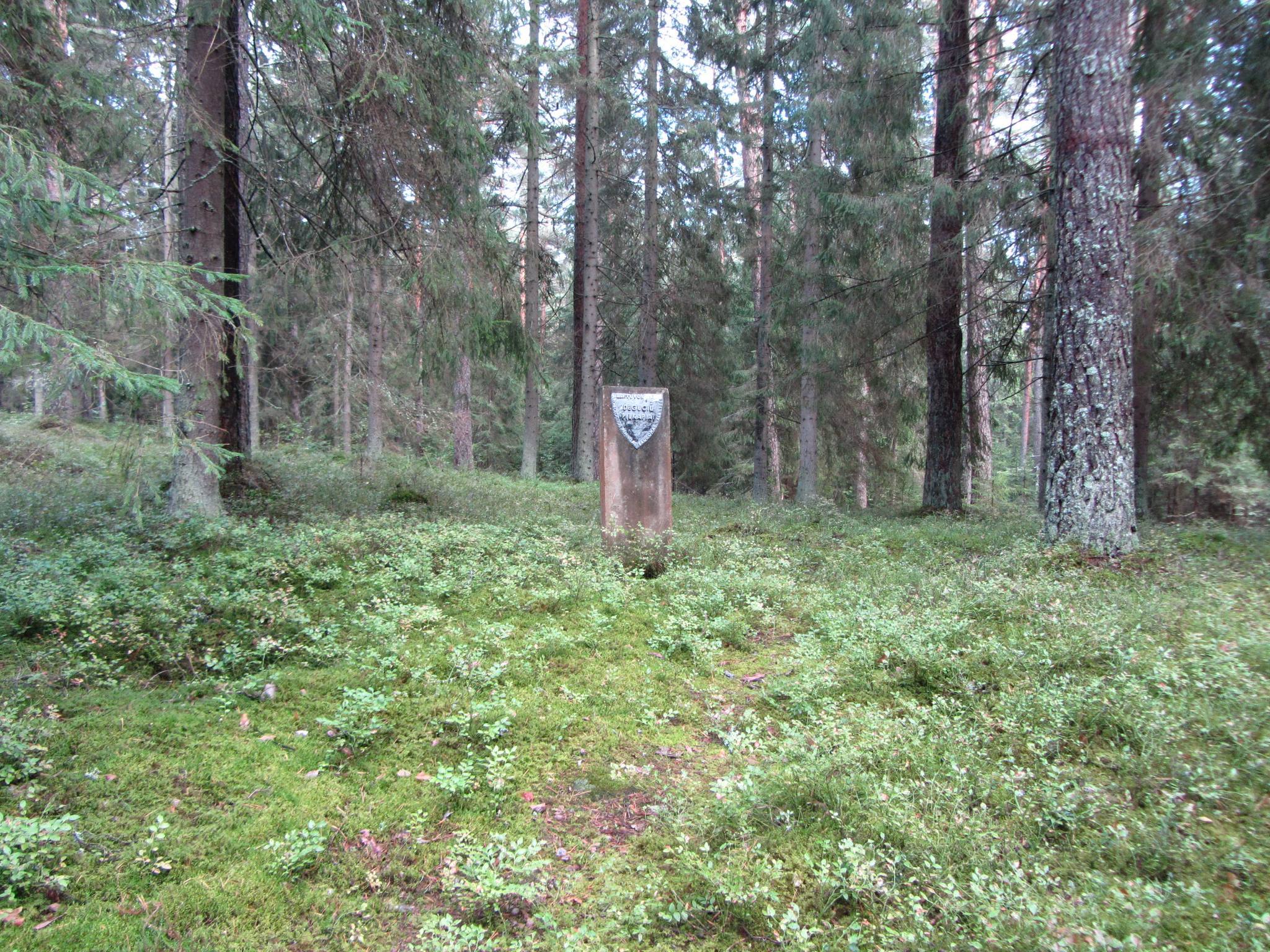
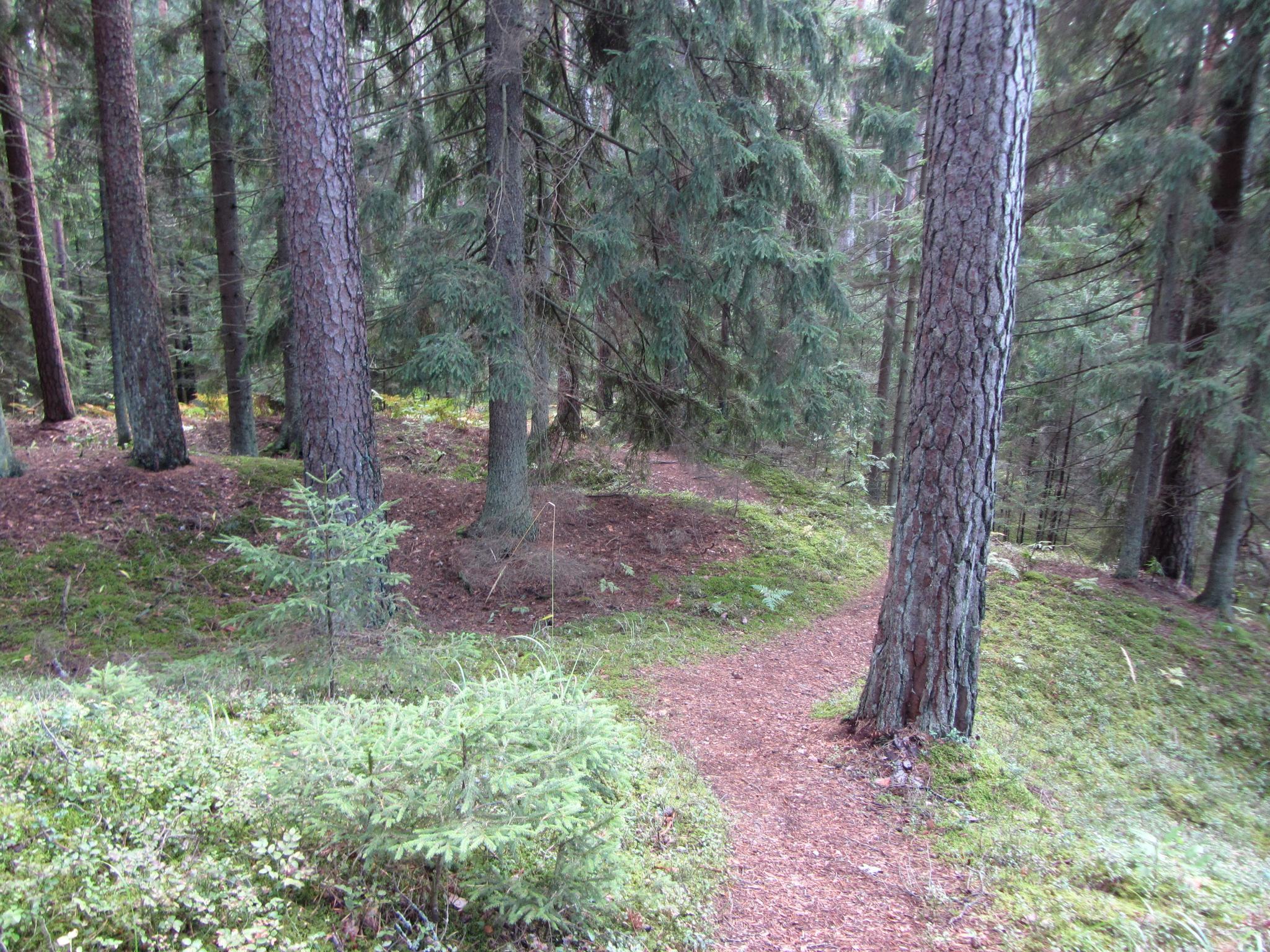
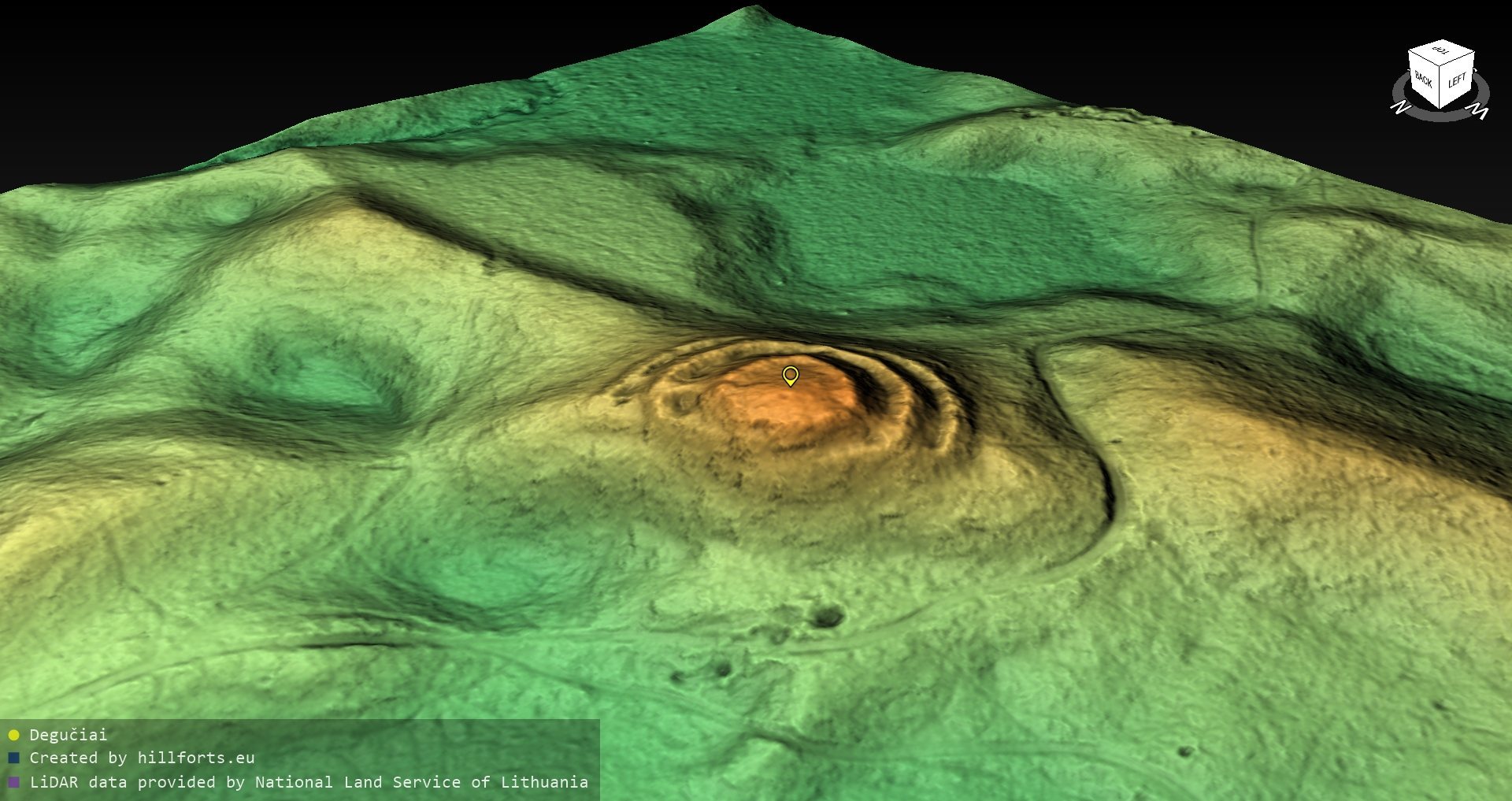
The hillfort stands on an isolated hill in a forest. Its western and northwestern slopes rise steeply to about 15 metres, while the northern, eastern, and southern sides are lower and more gradual. An almost circular summit platform measures approximately 25 to 30 metres across. The southern and southwestern edges are lower and were strengthened by a rampart, a raised defensive bank, of which a 40-metre section survives. Three ramparts surround the hillfort. The first is about 1.2 metres high and 120 metres long, extending along the northern, eastern, and southern slopes, 3.5 metres below the summit edge. A second rampart runs along the southwestern and northwestern slopes for about 50 metres, and a third extends for about 30 metres on the northeastern slopes. Each is approximately 1 metre high.
Associated Burial Grounds
The burial grounds reflect the same broad period as the hillfort. The first lies 800 metres southeast of the site and contains four burial mounds. The second is 200 metres south of the hillfort and contains seven. These burial mounds date from the ninth to the twelfth centuries. Their earth-covered mounds measure between 8 and 12 metres in diameter and reach up to 1 metre in height; some are enclosed by ring-shaped ditches. The burial grounds have been disturbed.