Vieux Bourg Medieval Site: A Fortified Residence in L’Abergement-Clémenciat
Site at a Glance
- Popularity
- Low
- Country
- France
- Primary era
- Medieval
- Eras represented
- Medieval, Early Modern
- Civilizations
- Holy Roman Empire
- Site type
- Military
- Remains
- Castle
On this page14 sections
History
Origins and fourteenth-century lordship
The Vieux Bourg Medieval Site is a fortified hilltop residence in L’Abergement-Clémenciat, France, established by the lords of Chabeu in the early fourteenth century. First serving as a seigneurial residence, it later became the focus of competing claims to the lordship of Abergement.
Abergement is named in a 1250 register of the Diocese of Lyon, an ecclesiastical record listing the diocese’s benefices. The Chabeu lords had succeeded the Clémenciat family in the area and also held Saint-Trivier-en-Dombes, known as Saint-Trivier-sur-Moignans. They established the new fortified site, also called Vieux Bourg, near the former parish center.
In 1304, Jacques de Chabeu, then lord of Abergement, made liege homage to the Church of Lyon, a formal feudal pledge of allegiance. In 1338, a son of Agnès de Chabeu transferred the castle, its ditches and barns, and the lordship to Galois de La Baume, lord of Montrevel-en-Bresse and a subordinate of the lords of Beaujeu. Guillaume de La Baume rendered homage to the Count of Savoy for the castle in 1342.
In 1372, the lord of Beaujeu and the Count of Savoy disputed possession of Abergement. Beaujeu’s association with the castle-administered district of Thoissey and Savoy’s with that of Châtillon formed part of the competing claims.
Later references and protection
The Tour-Chabeu is cited in records from 1576 and 1612. By the late nineteenth century, four fortified mound sites were noted in the commune. On 18 November 1994, the medieval site was classified as a Historic Monument, France’s higher of two principal heritage-protection levels.
Remains
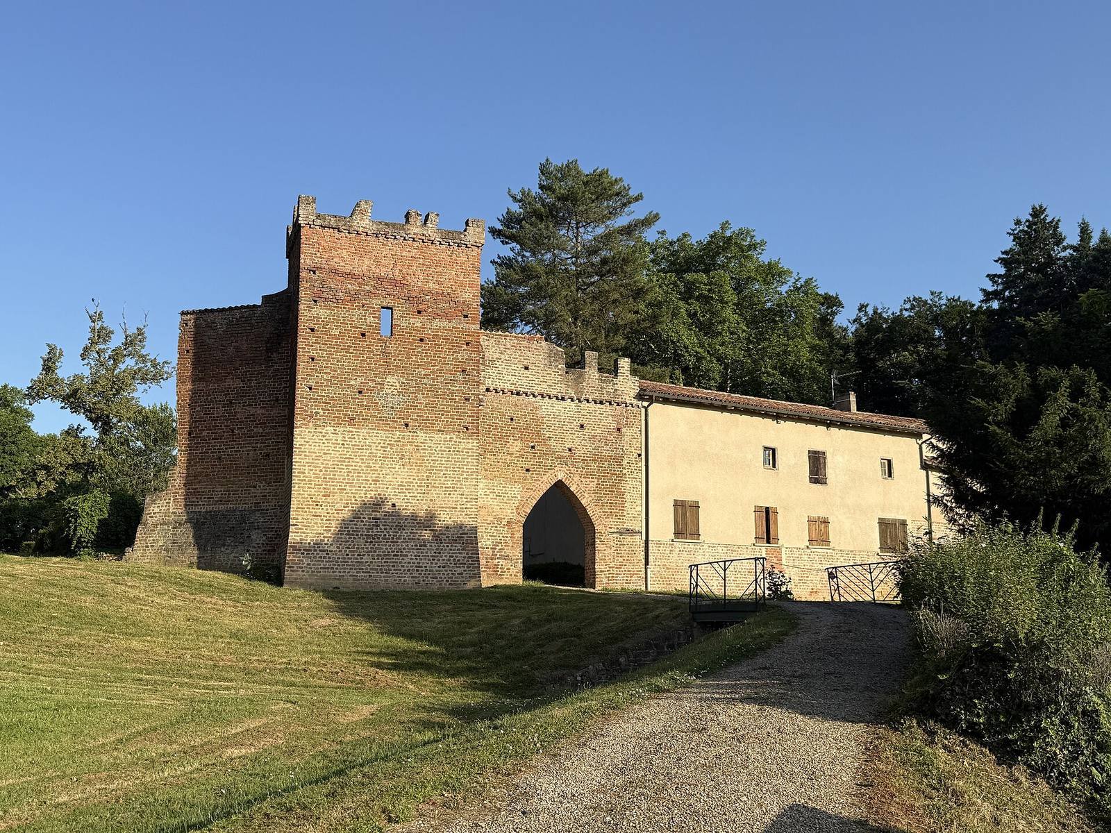
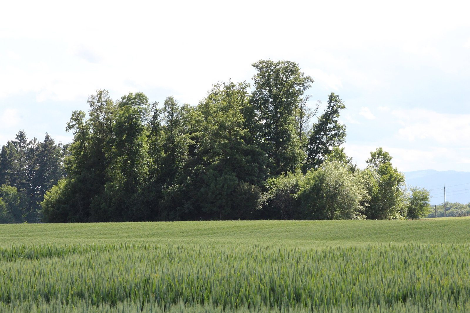
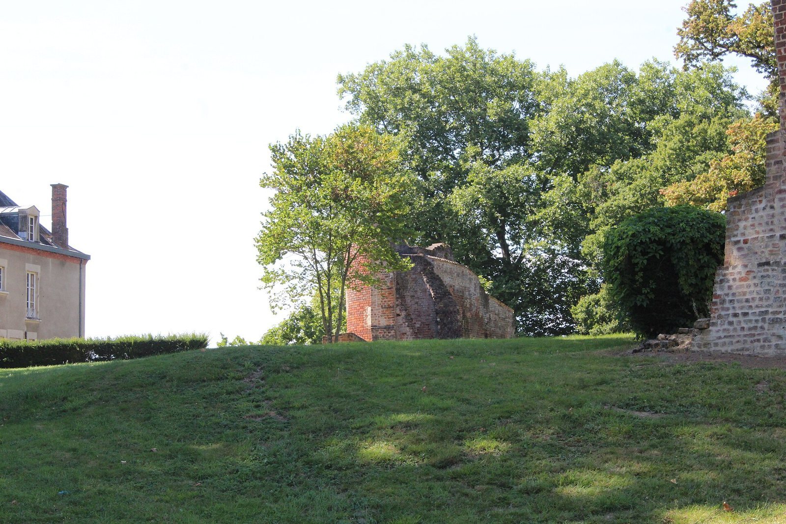
The hilltop site forms an oval earthwork enclosure about 190 by 130 metres, with an artificial mound and raised platforms in a motte-and-bailey arrangement. Brick defensive walls survive along the east and south sides. The castle now remains as ruins, including sections of its fourteenth-century enclosure.
Earthworks
Mound and platforms
At the north end, a circular artificial mound measures 45 metres across at its base and rises about 6 metres above a platform measuring 70 by 50 metres, which adjoins it on the south. A second, crescent-shaped platform occupies the southeast of the site. It extends for 140 metres and reaches up to 40 metres in width.
Ditch and outer bank
A ditch about 15 metres wide encircles the mound and platform and remains partly filled with water. Beyond it, an earthen bank about 20 metres wide served as an outer defensive rampart.
Fortifications
Brick enclosure
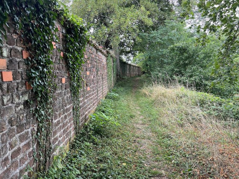
A carefully laid brick wall runs along the east and south sides. It was originally flanked by five towers, of which three remain: a circular tower to the south and two rectangular towers to the east, open on their inward-facing sides. A small secondary gate with a pointed arch pierces the eastern wall. These defensive features probably date to the fourteenth century.
Tower on the mound
In 1938, the remains of a round tower were visible at the mound’s summit. It was probably the fifteenth-century Tour-Chabeu. An earthen bank enclosed the tower, with several buildings standing within it.
Buildings and cemetery
Church
A church stood on the east side of the enclosure beside one of its towers and was attached to the brick wall. It dates to the sixteenth and seventeenth centuries.
Cemetery
The cemetery lay to the west and north of the church and continued in use until the end of the nineteenth century.
Other buildings
A rural house stood against the enclosure between the church and the gate. A separate building made by compacting earth in forms stood near the southern wall.